


Marked hiking trails in the region
Hiking
Summer Hiking in the High Tatras
The High Tatras offer one of the densest networks of hiking trails in Central Europe. Over 600 kilometers of marked trails
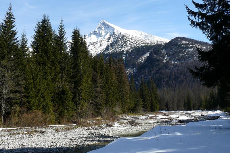
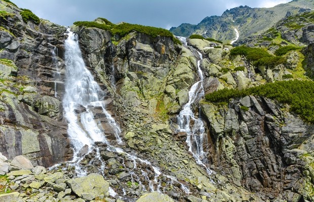
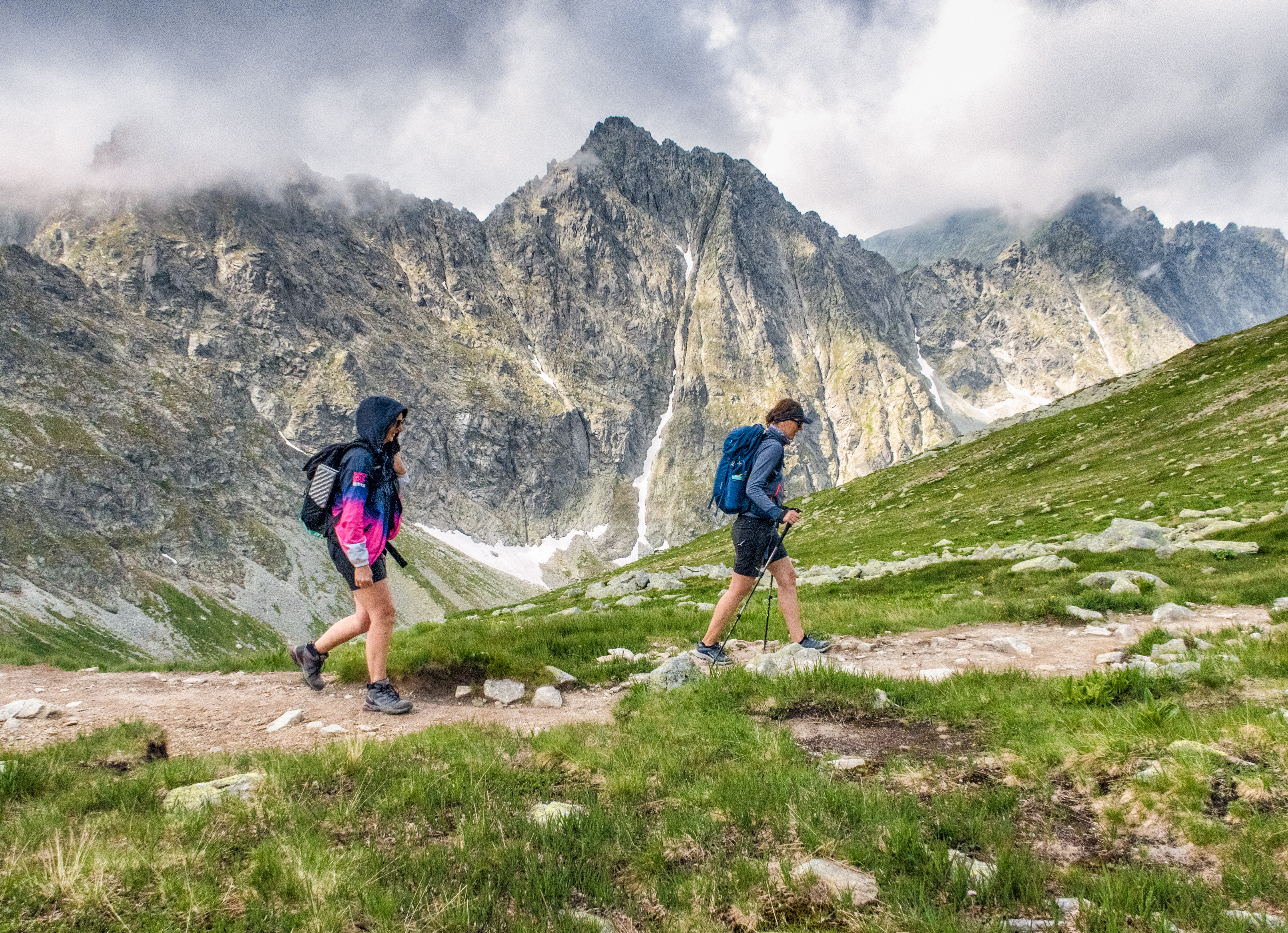
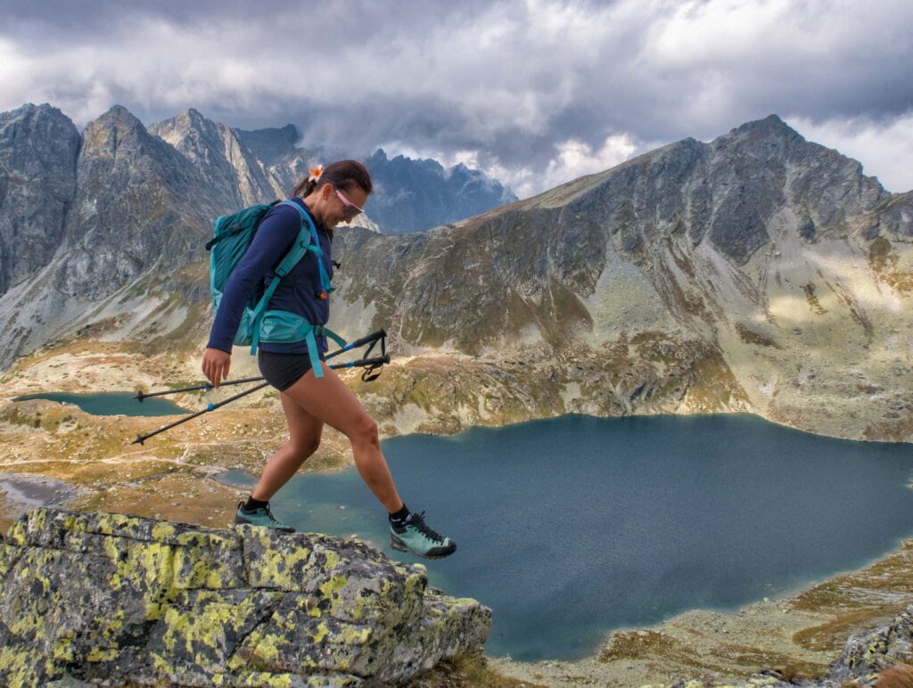
Trails ranging from peaceful forest walks in the foothills to challenging high-altitude ascents to the Tatra peaks. Each trail has its own atmosphere, its own character, and its own reward at the end—whether it’s a view from a ridge, the turquoise color of a mountain lake, or simply the silence of the mountain wilderness that you won’t find anywhere else.
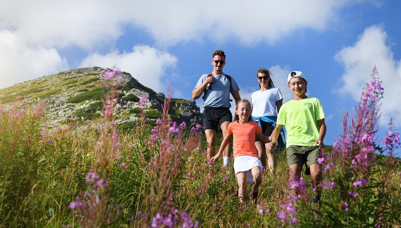
The hiking season in the Tatras peaks during the summer months, when all trails are accessible and the mountains are fully open. For casual hikers and families with children, the region offers dozens of trails suitable for all ages and fitness levels.
The highest accessible peak, Gerlachovský štít
Hiking Difficulty Levels on Tatra Trails
Glacial lakes accessible via hiking trails
What do you need to know before you arrive?
Start your hikes early in the morning. Afternoon thunderstorms are common during the summer months.

Be sure to bring plenty of water and food with you
There are no places to buy snacks on many trails
Sturdy shoes are a must. Sandals and sneakers are not suitable.
Dress in layers
Cell phone reception in the mountains may be limited
Let someone know your planned route
Download offline maps before you leave. Follow the TANAP rules.
Please read this before your visit
Current Status and Availability of Sidewalks
Some trails may be closed seasonally, temporarily inaccessible, or marked as dangerous. Before setting out, we recommend checking the current conditions directly on the Mountain Rescue Service or TANAP website.
Weather Forecast
The weather in the mountains changes quickly and unpredictably—a storm that seemed unlikely in the morning may very well become a reality by the afternoon. Always check the current forecast before setting out and plan accordingly.
Physical Fitness and Trail Difficulty
Each route has its own level of difficulty—check the details before you set out and realistically assess whether the route matches your physical abilities and experience.
Plan your route on the interactive map.
Explore the network of hiking trails
Explore the network of hiking trails in the High Tatras—choose a route based on difficulty, length, or location, and plan your trip before you set out.
This is what it looks like here. Take a look
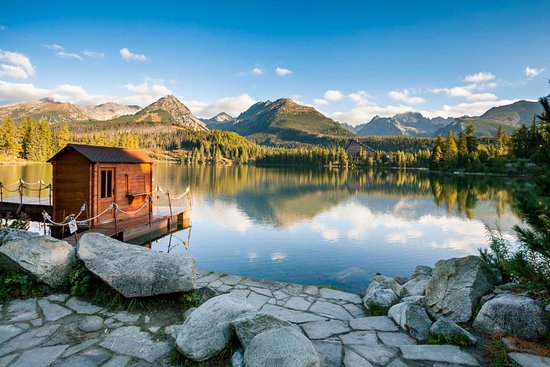
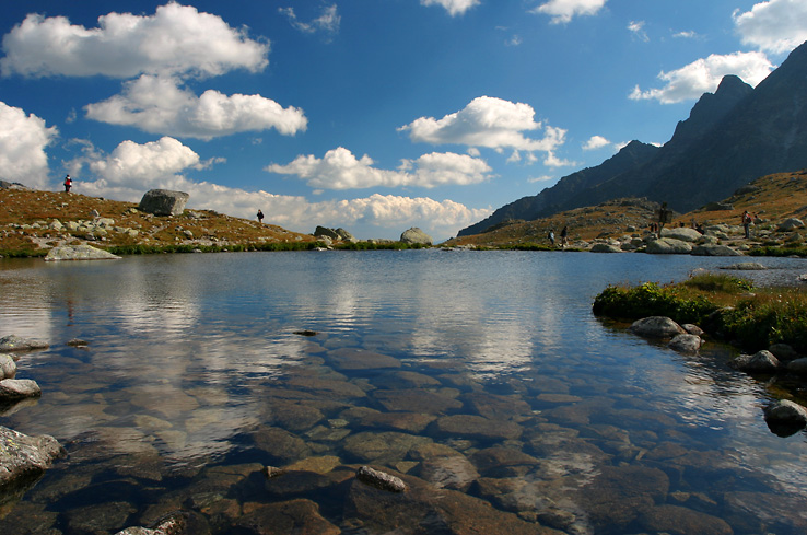
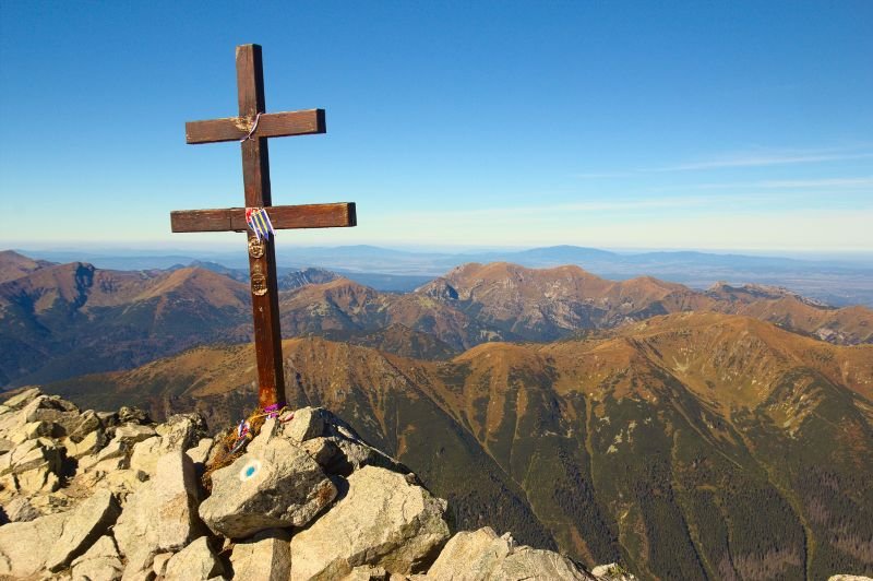
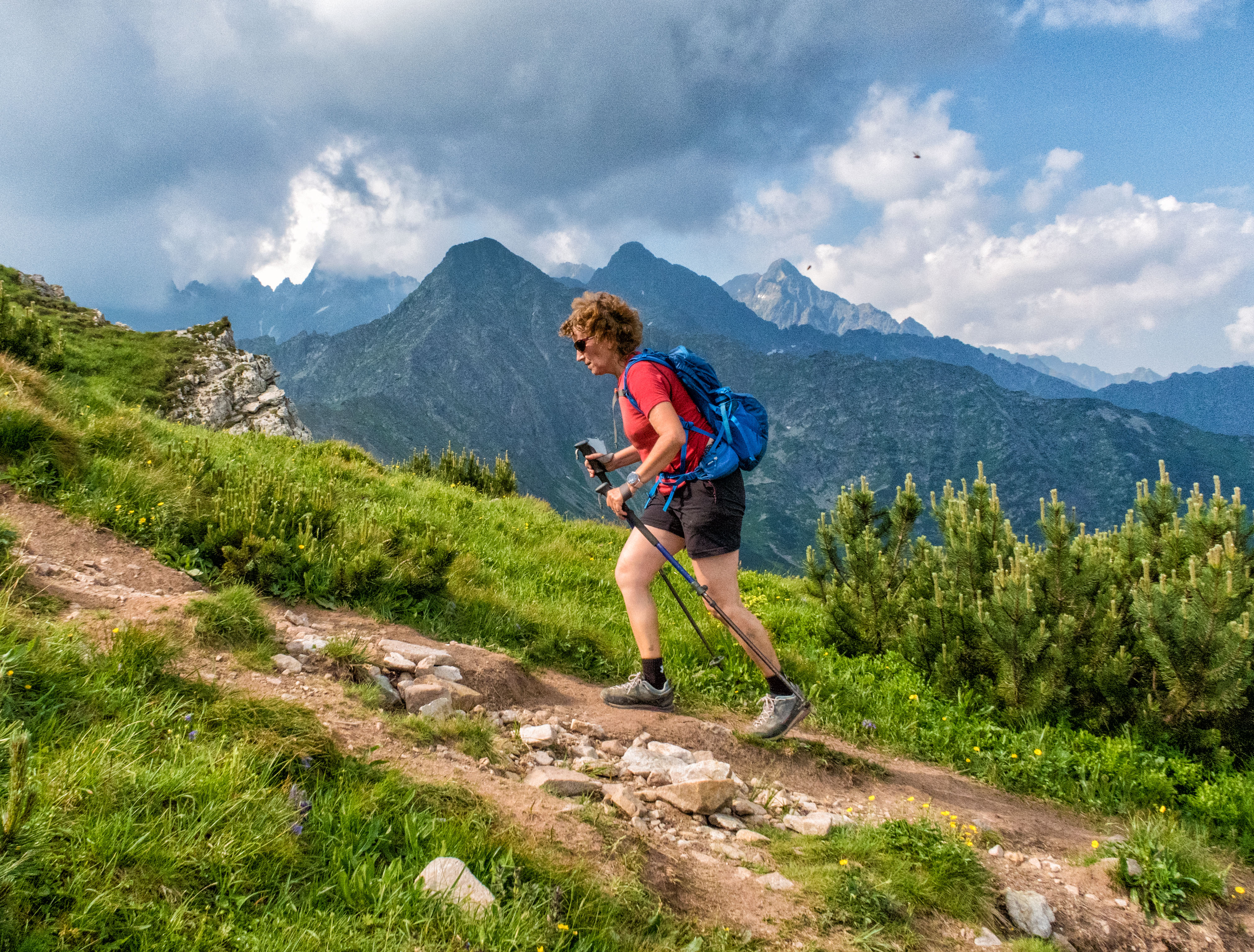
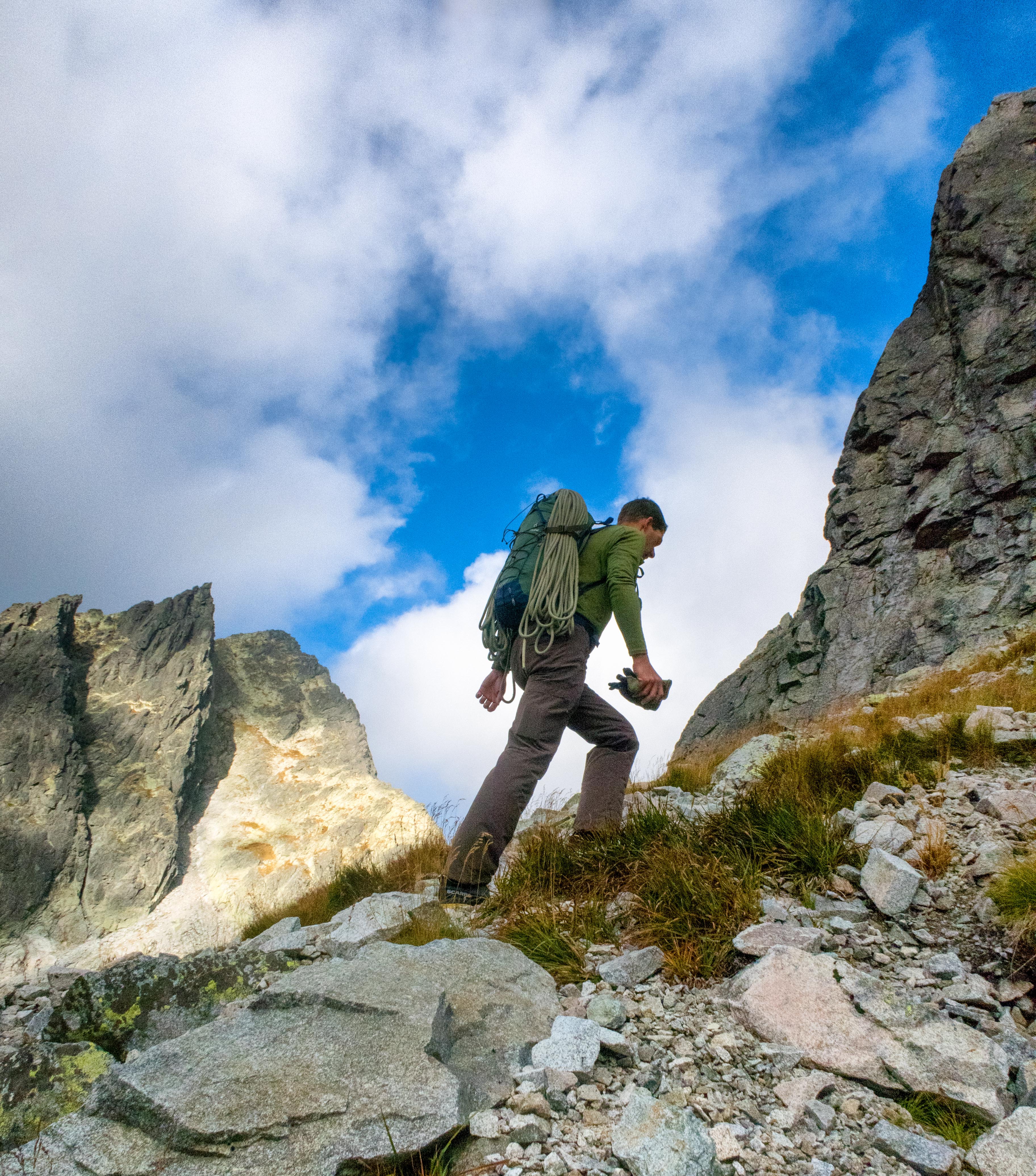

Must-See Places. Discover them one by one
Every corner of the High Tatras has its own story. Discover the places that shape the character of the region.












Webkamery
Poprad
3°C
Zamračené

Lomnický štít
-9°C
Zamračené
Tatranská Lomnica
1°C
Zamračené
Starý Smokovec
2°C
Zamračené
Hrebienok
1°C
Zamračené
Štrbské Pleso
0°C
Zamračené
Skalnaté pleso
-1°C
Polooblačno

Solisko
0°C
Zamračené


Všetko, čo potrebujete vedieť pred výletom
Odpovede na najčastejšie otázky o regióne Vysoké Tatry.
