

A fitness hike along the paved road to Hrebienok
Starý Smokovec – Hrebienok



Round-trip distance
A Nordic Walking trail that is more physically demanding
Paved surface throughout the entire ascent
From Starý Smokovec to the Tatra Mountains Tourist Center
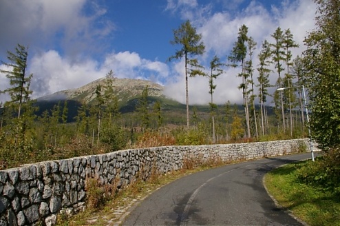
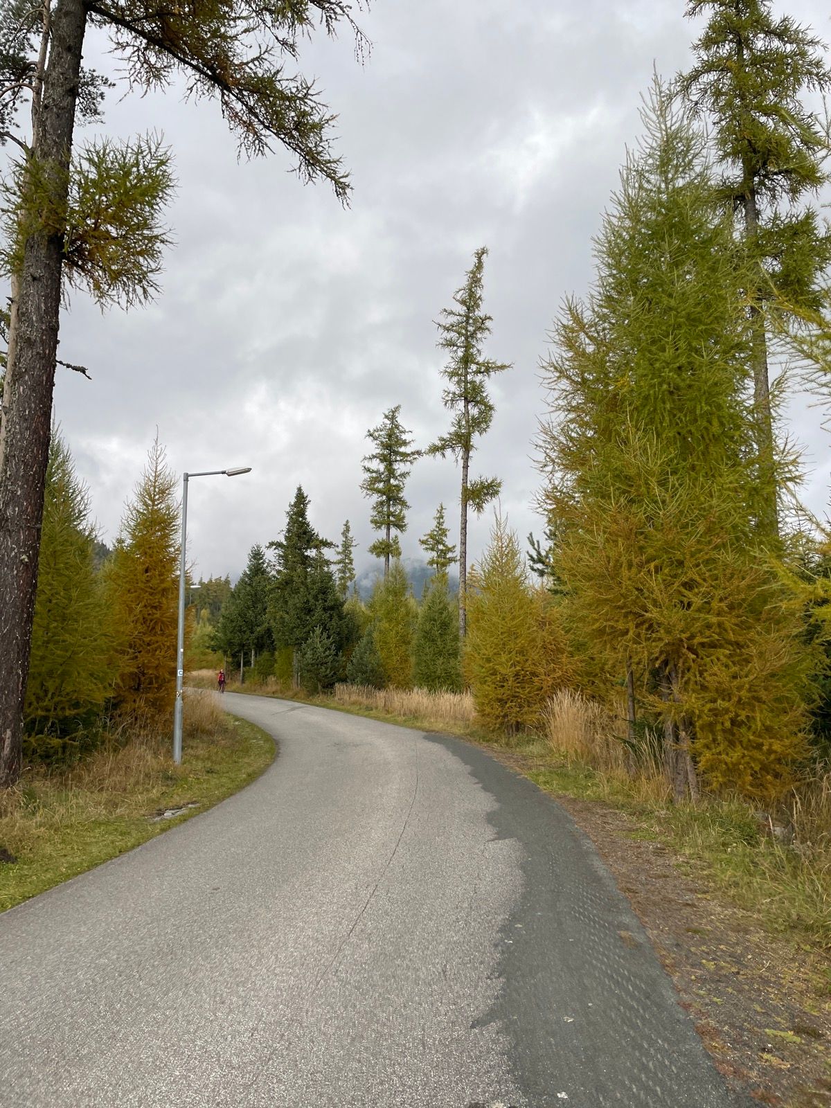
The route leads from Starý Smokovec along a paved road all the way to Hrebienok. Despite its firm and technically easy surface, the official guide classifies it as a challenging Nordic walking trail because the ascent involves a steeper and longer climb. Once you reach Hrebienok, you’ll return to Starý Smokovec via the same route.
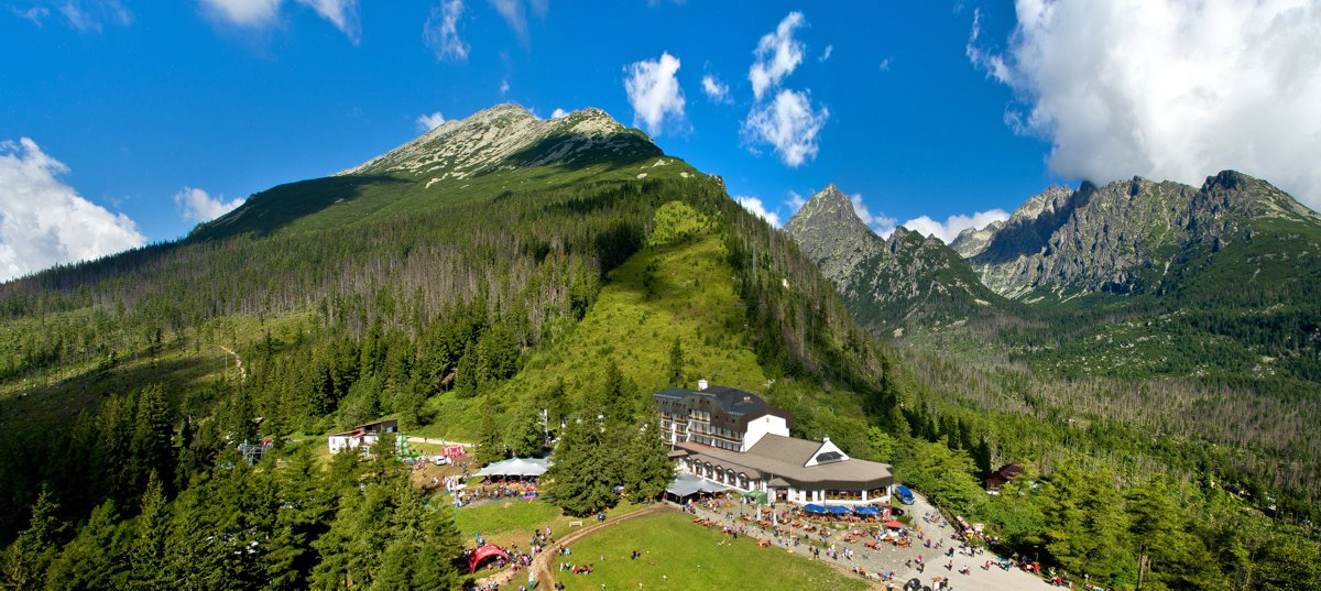
Hrebienok lies at an elevation of 1,285 meters above sea level and is one of the main hiking starting points in the High Tatras. The surrounding area offers views of the Tatra peaks, including Slavkovský Peak and Lomnický Peak. At the upper station of the ground cable car, there are facilities for rest and refreshments.
What can you experience and see along the route?

Trasa a výškový profil
What do you need to know before you arrive?
Please read this before your visit
Although the route runs along a solid asphalt surface, it is officially classified as a challenging Nordic walking trail. Starý Smokovec is listed on the regional map at an elevation of 1,018 meters above sea level, and Hrebienok at 1,285 meters above sea level, representing an approximate elevation difference of 267 meters.
You’ll be walking on a paved road both on the way up and on the way back. Rubber pole tips are recommended for hard surfaces, as they improve traction and cushion the impact of the poles on the asphalt. Adjust your pace to your fitness level, as the continuous climb is the most strenuous part of the hike.
A ground cable car runs from Starý Smokovec to Hrebienok. If necessary, you can use it as an alternative for the return trip, but be sure to check its current operating status and schedule before your trip.
A hike that will test your fitness and reward you with views from Hrebienok
Elevation Profile
The route begins in Starý Smokovec, which is located at an elevation of approximately 1,018 meters above sea level on the official regional map . The destination, Hrebienok, lies at an elevation of 1,285 meters above sea level. The approximate elevation difference between the starting point and the destination is 267 meters.
The first half of the route is an ascent and leads mostly uphill. After reaching Hrebienok, the return trip follows the same paved road, this time downhill.
Route Description
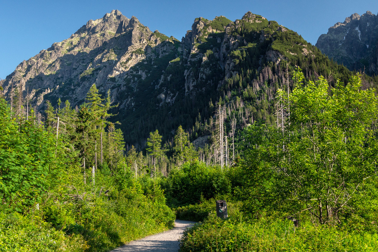
From Starý Smokovec, head toward the lower station of the cable car to Hrebienok. Instead of taking the cable car, continue on foot along the paved road, which gradually ascends into the Tatra forest.
The road will take you all the way to Hrebienok, to the upper station of the ground cable car. Here you can rest, grab a snack, and enjoy the views of the surrounding Tatra peaks. After your break, you’ll return along the same paved road back to Starý Smokovec.
Trail Markings
The official Nordic Walking guide does not specify a particular color for the trail markers on this route. The route is clearly defined as a paved road leading from Starý Smokovec to Hrebienok and back. To find your way, follow the local signposts marked “Hrebienok.”
Stops along the route
Starý Smokovec – approximately 1,018 m above sea level
The starting and ending point of the Nordic Walking trail.
Ground Cable Car Lower Station: A landmark at the start of the ascent to Hrebienok.
Hrebienok – 1,285 m above sea level
The destination of the hike and an important starting point for other hiking trails.
Upper Station A place to relax before returning to Starý Smokovec.

That's how it looks here. Take a look
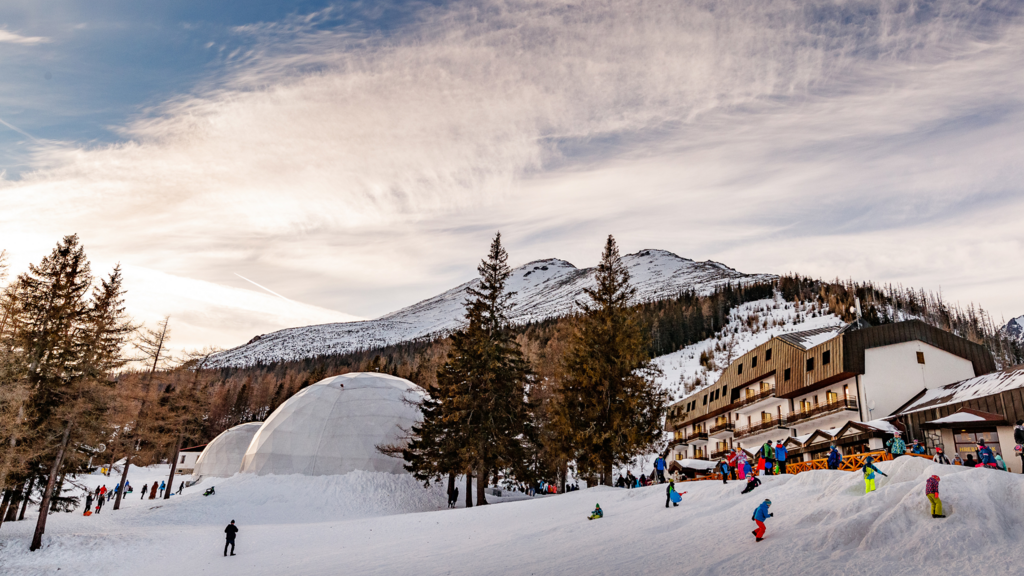
Set out to discover the beauty of the Tatra Mountains
Nordic walking combines active exercise in the fresh air with exploring the beauty of the Tatra region. Set out on easy trails or longer loops and enjoy nature, the mountain atmosphere, and views of the Tatra peaks.



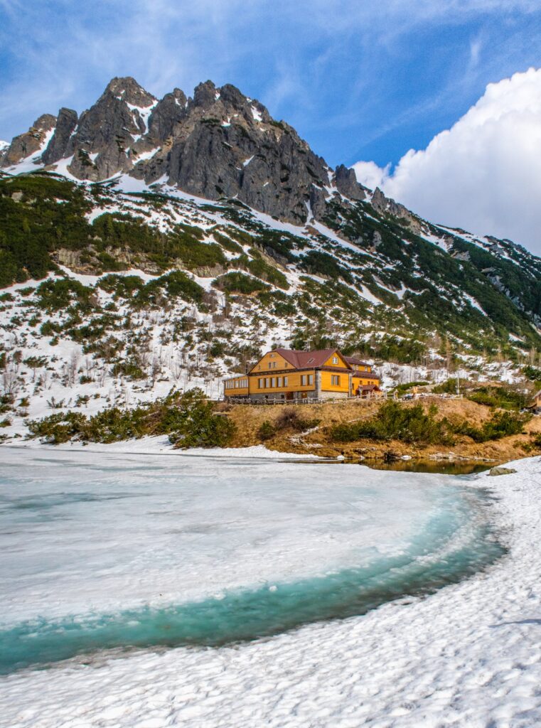


Must-See Places. Discover them one by one
Every corner of the Tatra Mountains has its own story. Discover the places that shape the character of the region.







Webkamery
Poprad
-1°C
Prevažne jasno

Lomnický štít
-9°C
Prevažne jasno
Tatranská Lomnica
-1°C
Polooblačno
Starý Smokovec
1°C
Prevažne jasno
Hrebienok
-1°C
Prevažne jasno
Štrbské Pleso
1°C
Prevažne jasno
Skalnaté pleso
0°C
Polooblačno
Solisko
0°C
Prevažne jasno


Všetko, čo potrebujete vedieť pred výletom
Odpovede na najčastejšie otázky o regióne Vysoké Tatry.
