

To the Litvor Ball in the Bielovodská Valley
Lysá Poľana – Bielovodská Valley – Poľana pod Vysokou – Litvorové Lake



Length of a one-way route
A long high-altitude climb
Estimated walking time
Through the Longest Valley in the Tatras to a Mountain Lake
The hike begins at Lysá Poľana at an elevation of approximately 970 meters above sea level and continues along the blue-marked trail into the Bielovodská Valley. The initial section leads mostly through a forested area along the Biela Voda stream, across the Bielovodská Poľana plateau, and past the forest ranger station. The valley is approximately 10 kilometers long, and its massive glacial relief was formed in the past by a glacier 13 kilometers long and up to 280 meters thick.
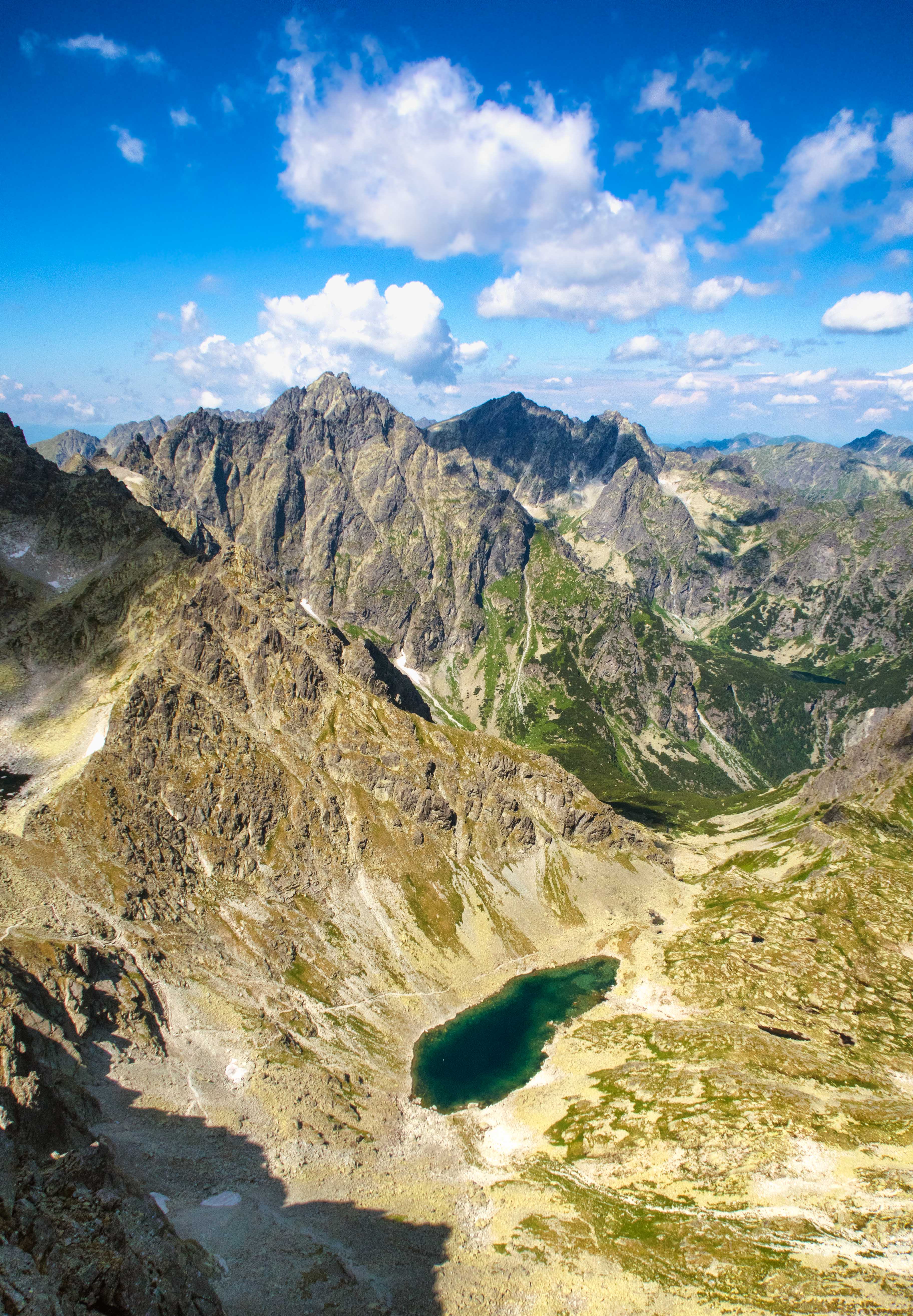
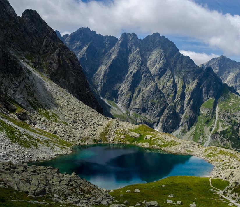
Beyond Poľana pod Vysokou, the nature of the hike changes. The trail climbs more steeply into the more open alpine landscape of the Litvorová Valley and heads toward Litvorové Pleso at an elevation of approximately 1,860 meters above sea level. The route does not include any chains, but due to its length, significant elevation gain, and the absence of a mountain hut, it requires excellent physical fitness and thorough planning.
What can you experience and see along the route?

Trasa a výškový profil
What do you need to know before you arrive?
Please read this before your visit
The blue-marked trail from the forest ranger station in the Bielovodská Valley toward Litvorové Pleso and the Prielom Pass is closed annually from November 1 through May 31. During the winter closure, only the lower part of the valley up to the forest ranger station is accessible.
The distance and time listed apply only to the hike up to Litvorovo Pleso. If you return via the same trail, the entire trip is approximately 24 kilometers and takes eight to nine hours of walking without extended breaks. There is no option to shorten the return trip by taking a cable car or public transportation.
From the Forests to the Alpine Lake
From Lysá Poľana, the trail initially climbs only gently through the wide lower part of the Bielovodská Valley. For the first few kilometers, you’ll be walking mainly through the forest and along the Biela Voda stream. At Poľana pod Vysokou, the trail reaches an elevation of approximately 1,310 meters.
Beyond Poľana, the ascent gradually steepens, and the trail passes through dwarf pine scrub into an open alpine landscape. The final stretch to Litvorová Valley is the most physically demanding. The destination is Litvorové Lake at an elevation of approximately 1,860 meters, so between the start and the finish, you’ll climb nearly 900 meters of direct elevation gain and approximately 920 meters of total ascent.
Trail Markings
Blue trail
Lysá Poľana – Bielovodská Valley – Poľana pod Vysokou – Litvorová Valley – Litvorové Lake
Return
Litvorové pleso – Lysá Poľana via the same blue-marked trail
Landmarks along the route
Lysá Poľana – approximately 970 meters above sea level
Bielovodská Poľana
Forest Lodge in the Bielovodská Valley
Meadow below Vysoká – approximately 1,310 m above sea level
Litvorová Valley
Litvorové Lake – approximately 1,860 m above sea level

That's how it looks here. Take a look

Set out to discover the beauty of the Tatra Mountains
Hiking trails will take you to mountain lakes, waterfalls, mountain huts, and the peaks of the Tatra Mountains. Choose from easy walks to more challenging hikes and discover the region’s beauty step by step.


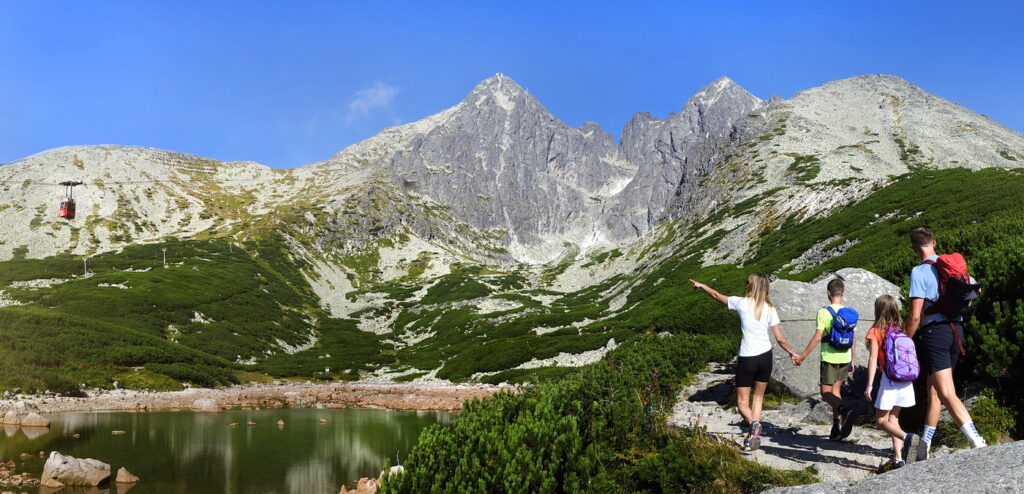


Must-See Places. Discover them one by one
Every corner of the Tatra Mountains has its own story. Discover the places that shape the character of the region.








Webkamery
Poprad
-1°C
Jasno

Lomnický štít
-10°C
Jasno
Tatranská Lomnica
0°C
Jasno
Starý Smokovec
1°C
Jasno
Hrebienok
0°C
Jasno
Štrbské Pleso
1°C
Jasno
Skalnaté pleso
-1°C
Jasno
Solisko
-1°C
Jasno


Všetko, čo potrebujete vedieť pred výletom
Odpovede na najčastejšie otázky o regióne Vysoké Tatry.
