

Along the forest trail from Štrbské Pleso to Jamské Pleso
Štrbské Pleso – Crossroads below the Furkotská Valley – Turn-off to the Biely Váh – Jamské Pleso



Length of the trail to Jamské Pleso
An easy trail with a gentle incline
Follow the Tatra Highway all the way to the finish line
A peaceful trail to a lake hidden in a larch grove
The trail begins at Štrbské Pleso and continues toward the southwestern shore of Štrbské Pleso. Past the Solisko Hotel, you’ll join the red-marked Tatra Main Trail, following a comfortable forest path uphill to the junction below the Furkotská Valley.
From the junction, continue along the red trail through the forest, crossing the Biely Váh stream, all the way to Jamské Pleso. The lake lies at an elevation of 1,448 meters above sea level in a larch grove; it covers an area of 0.67 hectares and has a maximum depth of 4.2 meters.
What can you experience and see along the route?

Trasa a výškový profil
What do you need to know before you arrive?
Please read this before your visit
A red hiking trail, which is part of the Tatra Main Trail, leads from Štrbské Pleso to Jamské Pleso. The main landmarks are the junction below the Furkotská Valley and the turnoff to Biely Váh.
Although the trail does not have any technically challenging sections, it winds through a natural mountain setting. Sturdy shoes, functional clothing, and Nordic walking poles with tips designed for forest terrain are recommended. Current conditions may affect both the time it takes to complete the hike and your comfort.
Outside built-up areas, you must stay on marked hiking or nature trails. Please respect TANAP’s visitor regulations, on-site signage, and any current restrictions.
An easy hike ending at Jamské Pleso
Elevation Profile
Štrbské pleso lies at an elevation of approximately 1,346.6 meters above sea level, and Jamské pleso at 1,448 meters above sea level. The difference in elevation between the two lakes is approximately 101 meters. The highest point on the route is the turnoff to Biely Váh at an elevation of 1,458 meters above sea level.
The route profile is mostly gently uphill. There are no particularly challenging technical sections, but you’ll need to adjust your pace to the natural terrain and current conditions.
Route Description
You can start the route at the train station in Štrbské Pleso. From there, walk to the shore of Štrbské Pleso and continue toward the Solisko Hotel. Behind the hotel, on the southwestern shore, there is a signpost where you’ll join the red-marked Tatra Main Trail.
An easy trail leads through the woods to the crossroads below Furkotská Valley at an elevation of 1,457 meters above sea level. At the crossroads, continue straight along the red trail, while other trails branch off into Furkotská Valley.
The next section of the trail winds through the forest along the upper reaches of the Biely Váh River. After passing the turnoff for the Biely Váh at an elevation of 1,458 meters above sea level, you’ll reach Jamské pleso, which lies in a peaceful Swiss pine grove.
Route Markings
Follow the red hiking trail markers along the entire route from Štrbské Pleso to Jamské Pleso. The trail is part of the Tatra Main Trail, and according to the official description, it is easy to find your way along the well-marked hiking trails.
Stops along the route
Štrbské pleso – 1,346.6 m above sea level
The starting point of the trail near one of the most famous Tatra mountain lakes
Crossroads below Furkotská Valley – 1,457 m above sea level
Trail fork leading toward Jamské Pleso and into Furkotská Valley
Turn-off to Biely Váh – 1,458 m above sea level
The highest-elevation landmark on the route
Jamské pleso – 1,448 m above sea level
The trail’s endpoint is at the lake, which covers an area of 0.67 hectares in a larch grove

Along the forest trail from Štrbské Pleso to Jamské Pleso
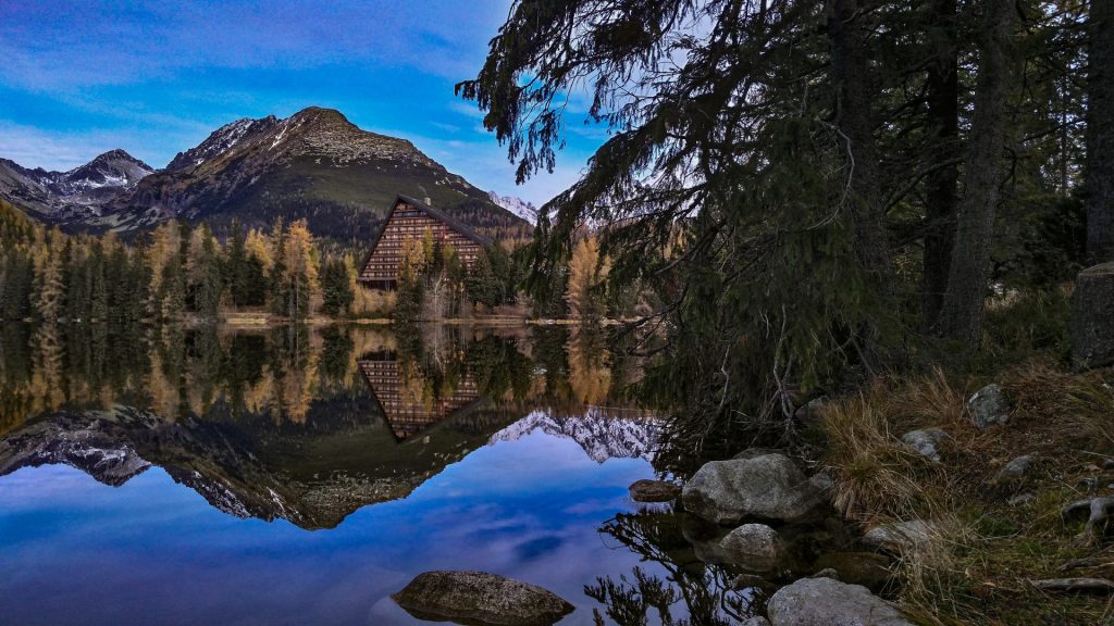
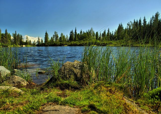
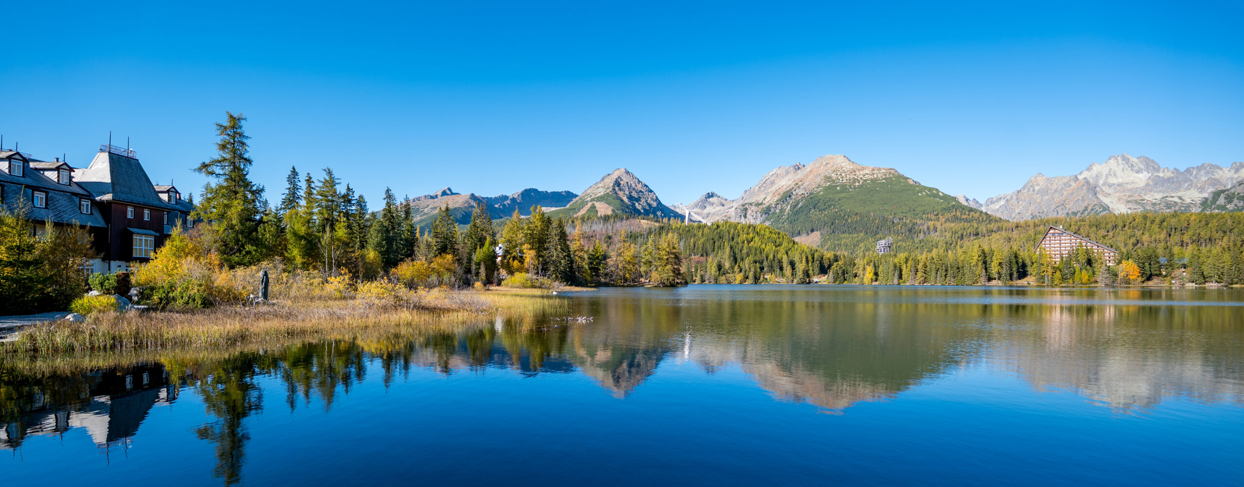
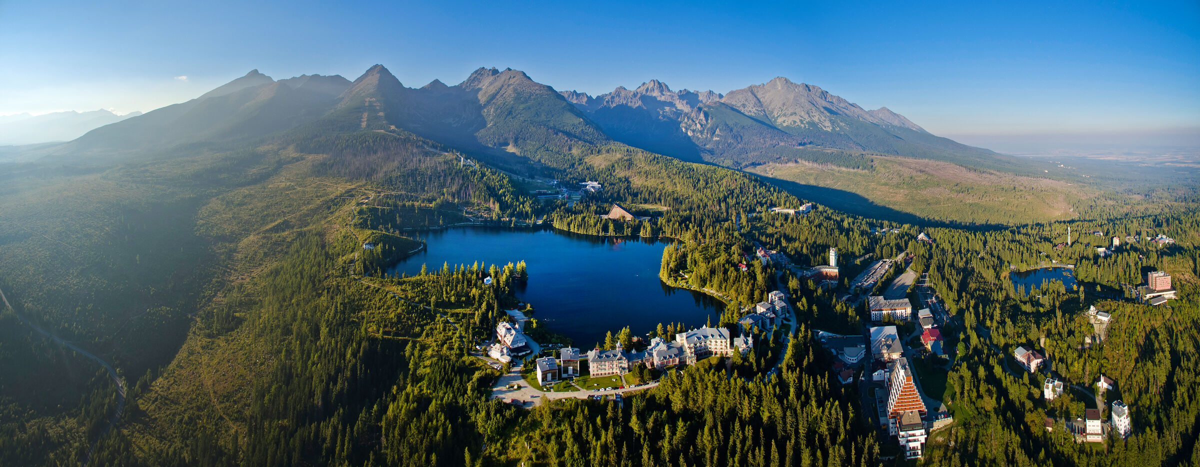
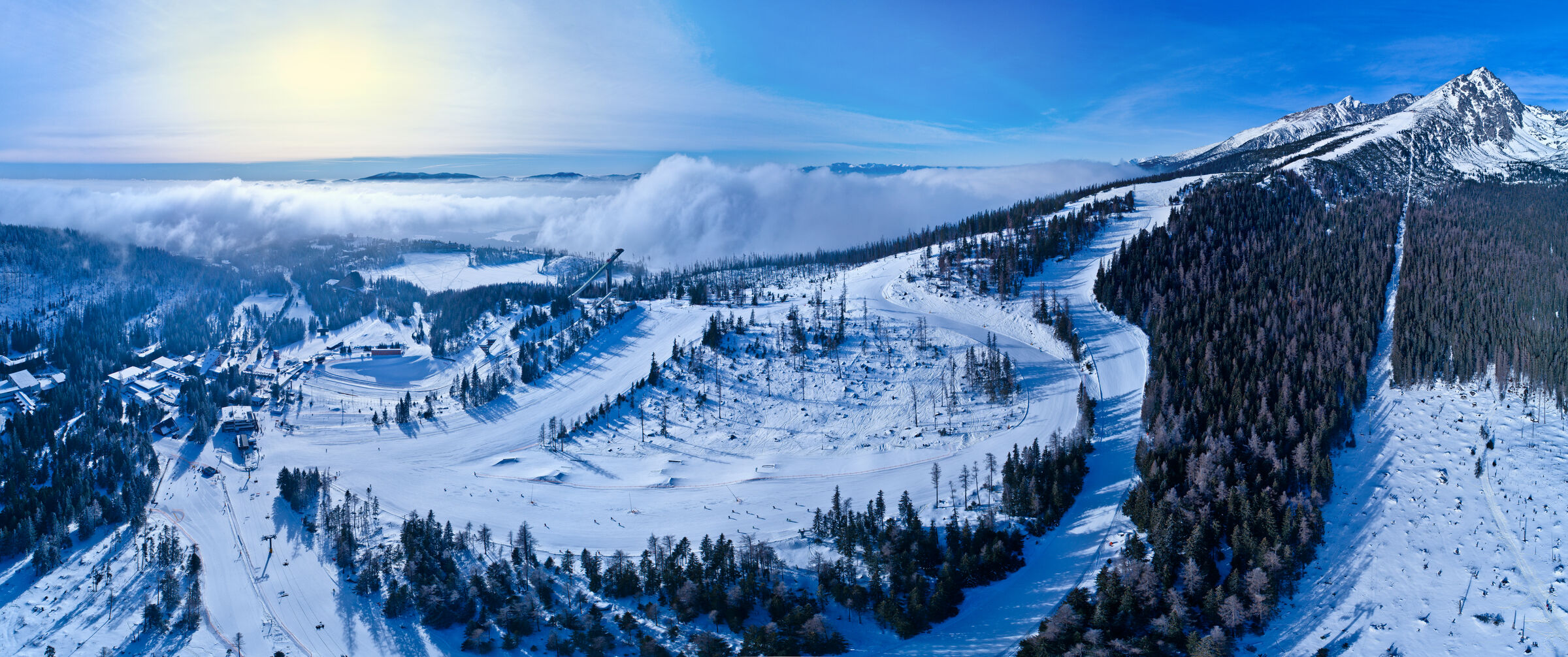
Set out to discover the beauty of the Tatra Mountains
Nordic walking combines active exercise in the fresh air with exploring the beauty of the Tatra region. Set out on easy trails or longer loops and enjoy nature, the mountain atmosphere, and views of the Tatra peaks.



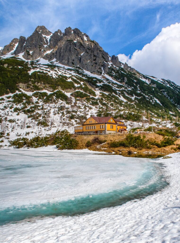


Must-See Places. Discover them one by one
Every corner of the Tatra Mountains has its own story. Discover the places that shape the character of the region.








Webkamery
Poprad
-1°C
Jasno

Lomnický štít
-10°C
Jasno
Tatranská Lomnica
0°C
Jasno
Starý Smokovec
1°C
Jasno
Hrebienok
0°C
Jasno
Štrbské Pleso
1°C
Jasno
Skalnaté pleso
-1°C
Jasno
Solisko
-1°C
Jasno


Všetko, čo potrebujete vedieť pred výletom
Odpovede na najčastejšie otázky o regióne Vysoké Tatry.
