

Bystré Lakes
Hrdovo – Crossroads below Bystrá – Bystrá Valley – Bystré Lakes – Hrdovo



Round-trip distance
A long climb and a significant elevation gain
Estimated walking time
To the Highest-Elevation Lakes in the Western Tatras
The hike to the Bystré Lakes begins at the Hrdovo bus stop and parking lot near Pribylina. Following the yellow hiking trail, it leads to the Rázcestie pod Bystrou junction and continues through the long Bystrá Valley. The lower part of the route consists of forest roads and trails running alongside the Bystrá Stream.
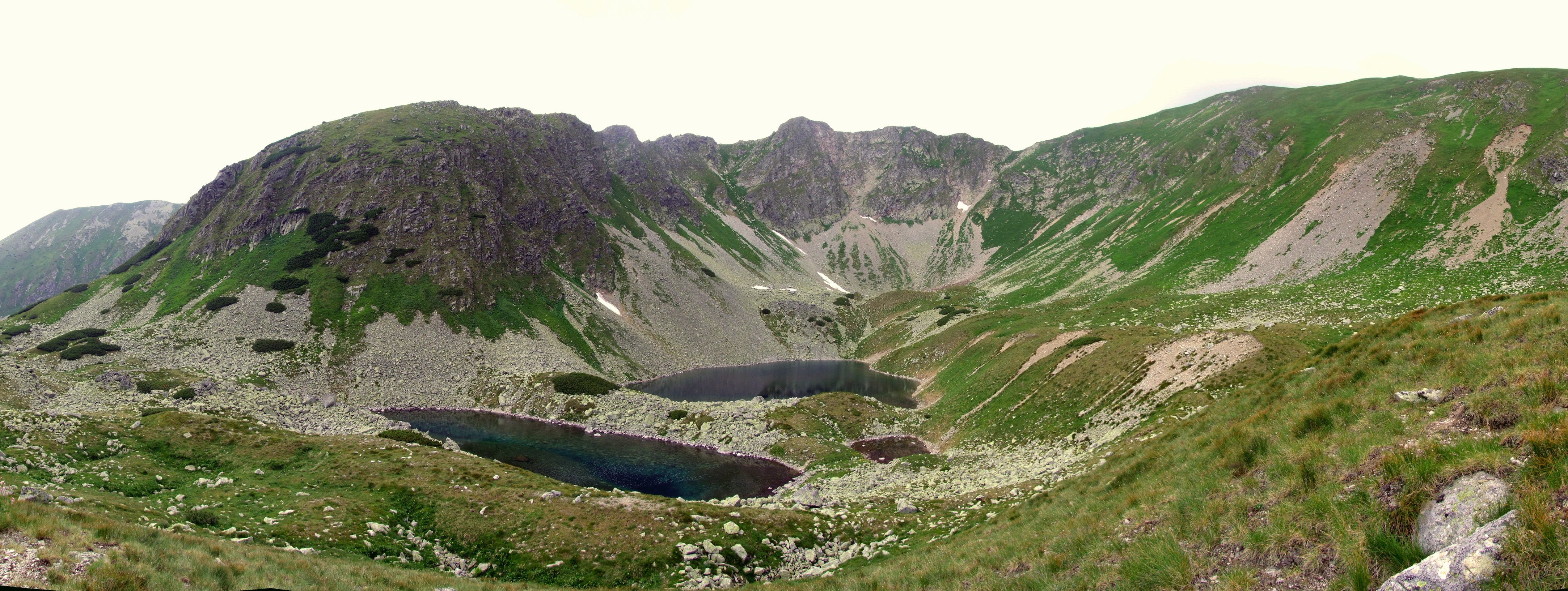
As the elevation increases, the forest gradually gives way to dwarf pine scrub and open alpine terrain. At the end of the valley, beneath the slopes of Bystrá, lies a system of glacial lakes. The largest of these, Veľké Bystré pleso, lies at an elevation of approximately 1,879 m above sea level and is also one of the deepest glacial lakes in the Western Tatras.
The route does not include chains or technically secured sections, but it is challenging due to its length and significant elevation gain. From the glacial lakes, you return to Hrdovo via the same path.
What can you experience and see along the route?

Trasa a výškový profil
What do you need to know before you arrive?
Please read this before your visit
Although there are no chains or exposed technical sections along the route, the ascent covers more than 1,000 meters in elevation. The long climb through the Bystrá Valley and the subsequent return along the same path require good physical condition and plenty of time.
The high-altitude section leading to the Bystré Lakes is closed seasonally from November 1 through May 31. Before setting out on a hike, always check the current condition of the trail and any temporary restrictions.
There are no mountain huts or standard places to get food or drinks in Bystrá Valley. Therefore, be sure to bring all your food and plenty of water with you. Do not rely on natural water sources to replenish your water supply without a suitable filter.
Through the Bystrá Valley to the glacial lakes
The trail begins in Hrdovo at an elevation of approximately 850 m above sea level. From the bus stop and parking lot, it follows the yellow hiking trail along a forest path to the Rázcestie pod Bystrou junction, where it crosses the red-marked Tatra Main Trail.
From the junction, continue along the yellow trail into the Bystrá Valley. The trail gradually ascends through the forest near the Bystrá Stream and later passes through dwarf pine scrub into an open alpine landscape.
At the end of the valley, a glacial cirque with the Bystré Lakes opens up before you. The highest lakes lie at an elevation of approximately 1,879 m above sea level. The return to Hrdovo follows the same route.
Trail Markings
Yellow trail
Hrdovo – Junction below Bystrá
Yellow trail
Junction below Bystrá – Bystrá Valley – Bystré Plesá
Yellow trail marker
Bystré plesá – Bystrá Valley – Hrdovo
Trail checkpoints
Hrdovo – approximately 850 m above sea level
Crossroads below Bystrá – approximately 965 m above sea level
Bystrá Valley
Shelter in Bystrá Valley
Nižné Bystré Lake – approximately 1,837 m above sea level
Veľké Bystré Lake – approximately 1,879 m above sea level

That's how it looks here. Take a look


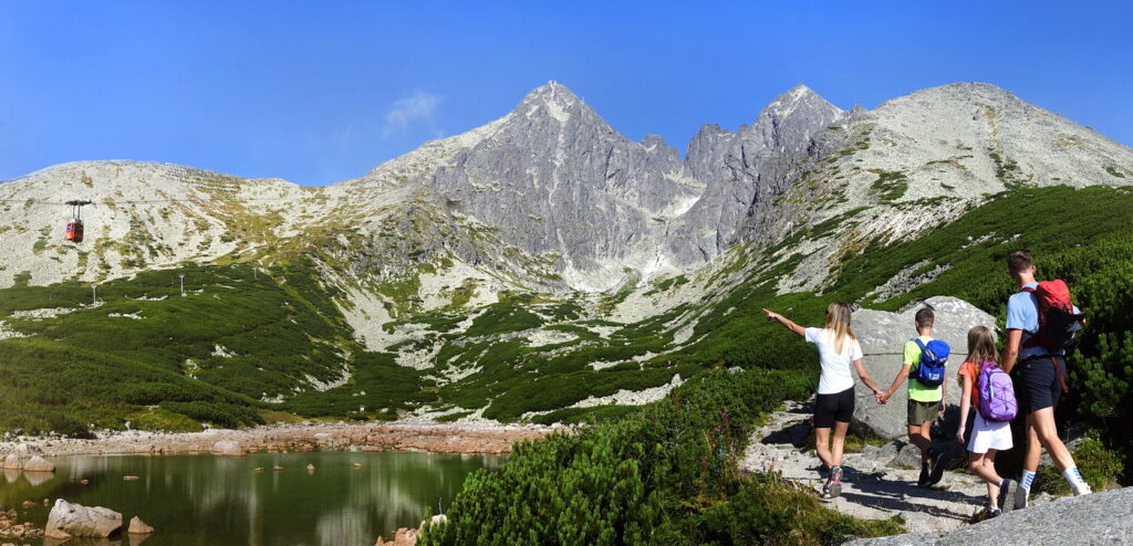
Set out to discover the beauty of the Tatra Mountains
Hiking trails will take you to mountain lakes, waterfalls, mountain huts, and the peaks of the Tatra Mountains. Choose from easy walks to more challenging hikes and discover the region’s beauty step by step.




Must-See Places. Discover them one by one
Every corner of the Tatra Mountains has its own story. Discover the places that shape the character of the region.









Webkamery
Poprad
-1°C
Jasno

Lomnický štít
-10°C
Jasno
Tatranská Lomnica
0°C
Jasno
Starý Smokovec
1°C
Jasno
Hrebienok
0°C
Jasno
Štrbské Pleso
1°C
Jasno
Skalnaté pleso
-1°C
Jasno
Solisko
-1°C
Jasno


Všetko, čo potrebujete vedieť pred výletom
Odpovede na najčastejšie otázky o regióne Vysoké Tatry.
