

Via Veľká Svišťovka to Zelené pleso
Skalnaté Pleso – Veľká Svišťovka – Zelené Pleso – Biela Voda



Length of a one-way route
Exposed section with chains
Estimated walking time
A mountain pass with a view of Zelené pleso
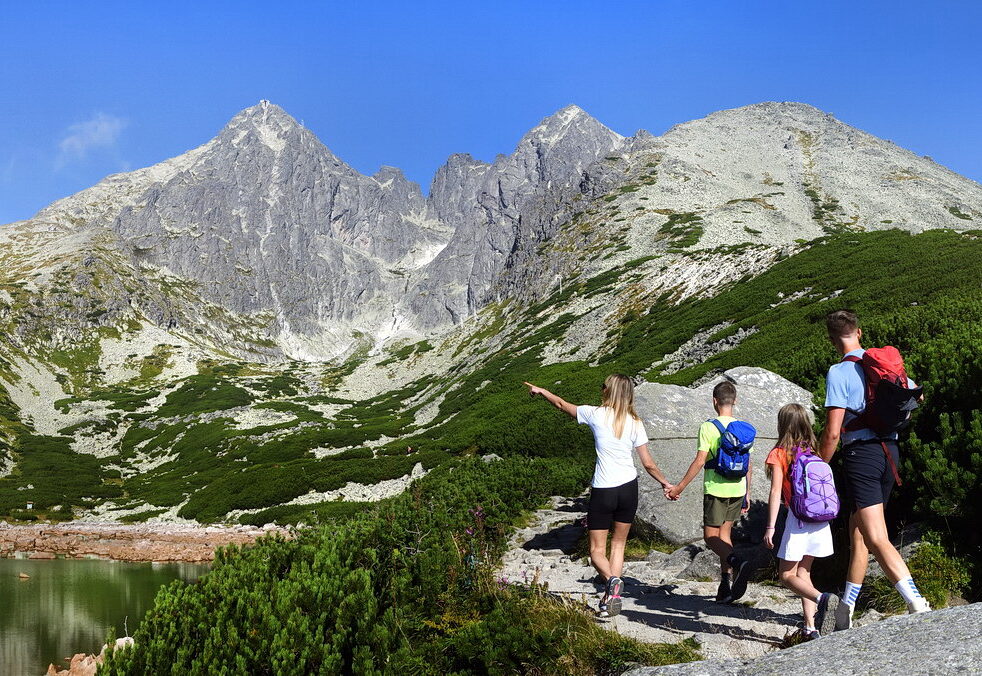
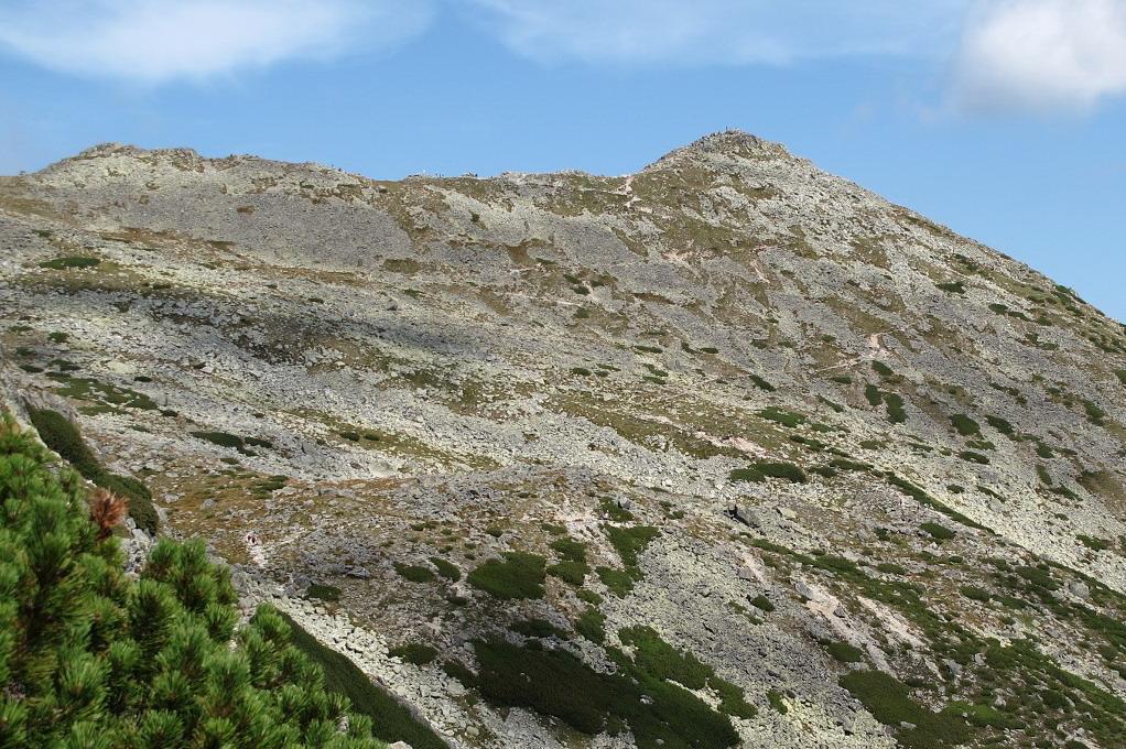
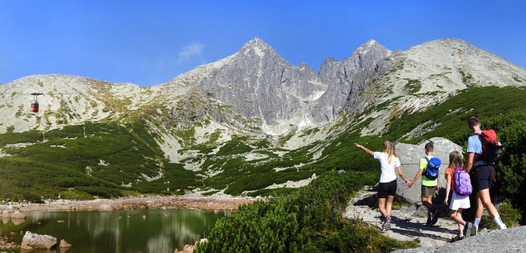
The hike begins at Skalnaté Pleso at an elevation of 1,751 meters above sea level, which you can reach by cable car from Tatranská Lomnica. The red-marked Tatra Main Trail leads through rocky alpine terrain across the Huncovská Basin to Sedlo pod Veľkou Svišťovkou and then on to Veľká Svišťovka. From the ridge section, views open up to Zelené pleso, Trojrohé, and Veľké Biele pleso, as well as the Belianske Tatras.
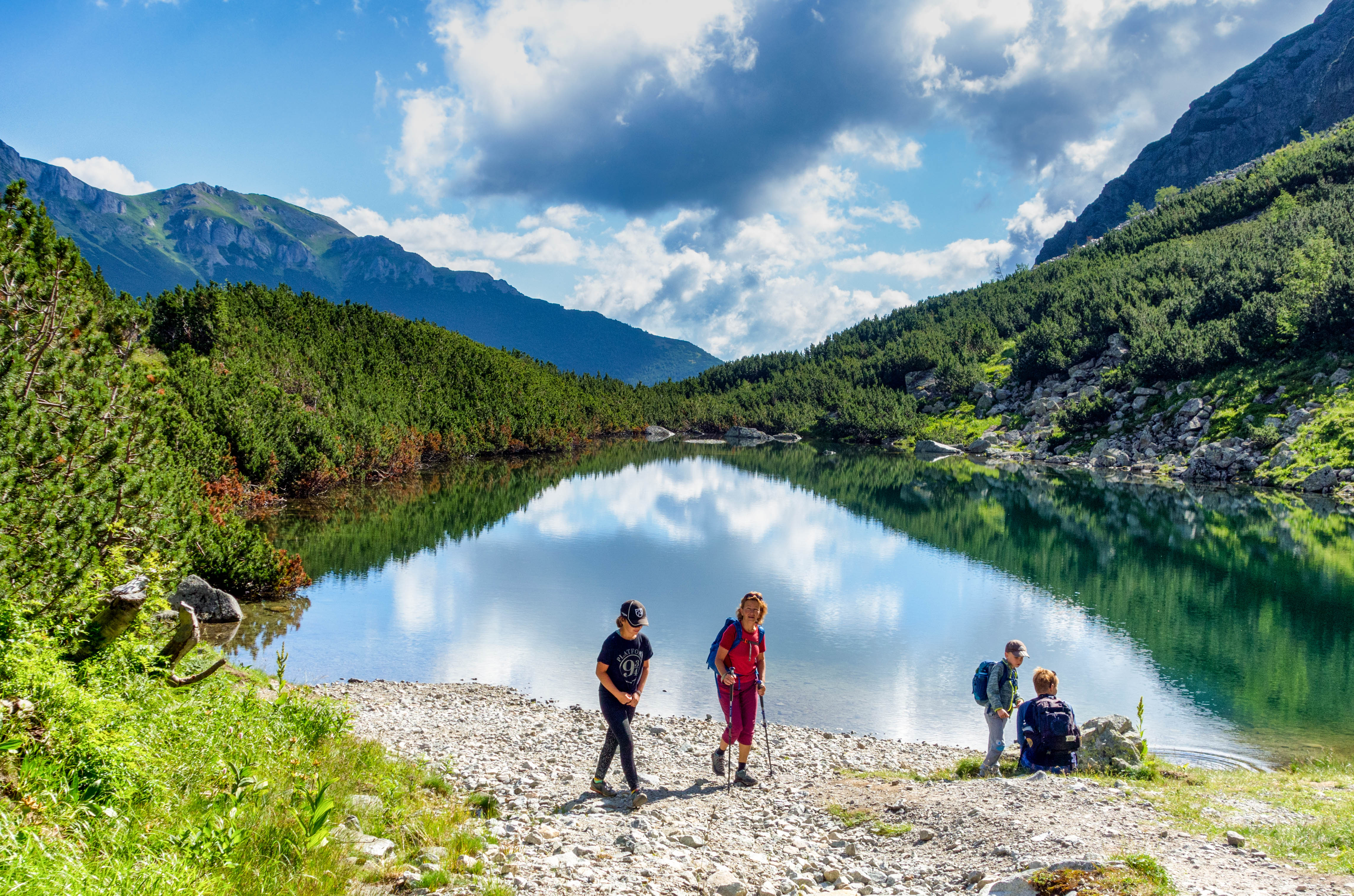
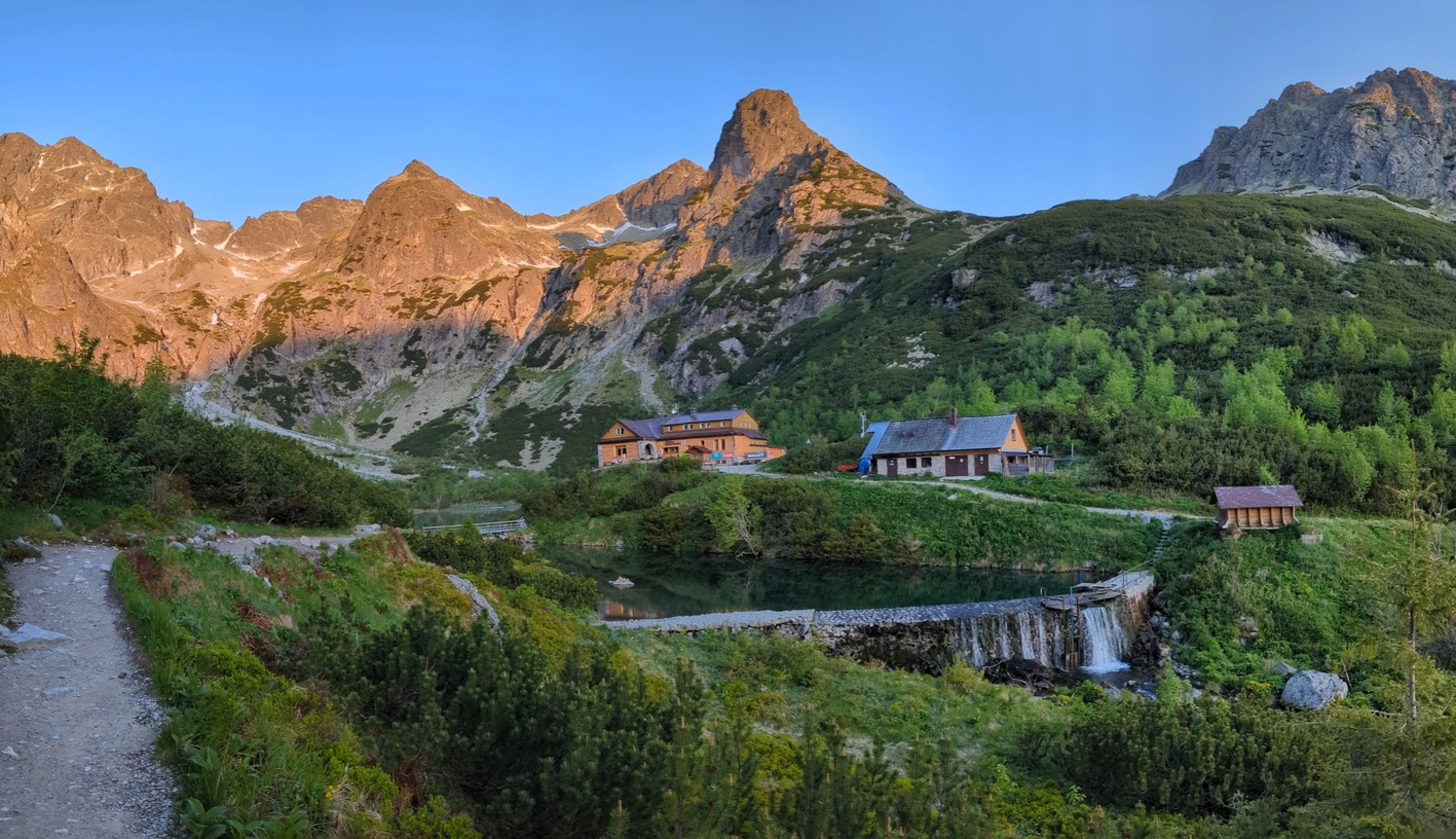
From Svišťovka, the trail descends via steeper switchbacks and, in places, an exposed section secured with chains. The route continues past Čierne pleso to the Chata pri Zelenom plese mountain hut, located at an elevation of 1,551 m above sea level. From there, a longer but technically easier descent follows through the Kežmarská Biela voda Valley down to the Biela voda stop.
What can you experience and see along the route?

Trasa a výškový profil
What do you need to know before you arrive?
Please read this before your visit
The descent from Veľká Svišťovka toward Zelené pleso leads through steep, rocky terrain in places, secured with chains. The trail is not suitable for people with a fear of heights, those with unsteady footing, or young children with no experience in mountain hiking.
The red-marked trail from the Slovak Academy of Sciences Observatory at Skalnaté Pleso, through Sedlo pod Veľkou Svišťovkou toward Zelené Pleso, is closed annually from November 1 through May 31. Therefore, the entire route can only be hiked outside of the closure period.
The trail begins at Skalnaté Pleso and ends at the Biela Voda bus stop. To start the hike, take the cable car from Tatranská Lomnica; after finishing, continue by bus or arrange in advance for transportation back to your parked car. There is a bus stop and a paid parking lot at Biela voda.
From Skalnaté Pleso to the foothills
From Skalnaté Pleso, the trail first climbs through open alpine terrain to the saddle below Veľká Svišťovka. The highest point of the hike is Veľká Svišťovka at an elevation of 2,038 meters above sea level. The initial section thus represents the main ascent of the route, while most of the remaining hike leads downhill.
The most challenging descent leads from Svišťovka along rocky switchbacks and through sections secured with chains to Zelené pleso. From the mountain hut, the nature of the trail changes—the yellow-marked trail continues mainly through the forested landscape of the Kežmarská Biela Voda Valley all the way to Cesta slobody and the Biela Voda stop.
Trail Markings
Red trail
Skalnaté pleso – Sedlo pod Veľkou Svišťovkou – Veľká Svišťovka – Chata pri Zelenom plese
Yellow trail
, Chata pri Zelenom plese – Kežmarská Biela Voda Valley – Biela Voda
Waypoints along the route
Skalnaté Pleso – 1,751 m above sea level
Slovak Academy of Sciences Observatory
The Saddle Below Veľká Svišťovka
Veľká Svišťovka – 2,038 meters above sea level
Čierne Lake
Mountain Hut at Zelené pleso – 1,551 m above sea level
The Kežmarská Biela Voda Valley
Sage Spring
Biela voda – Bus Stop and Parking Lot

That's how it looks here. Take a look


Set out to discover the beauty of the Tatra Mountains
Hiking trails will take you to mountain lakes, waterfalls, mountain huts, and the peaks of the Tatra Mountains. Choose from easy walks to more challenging hikes and discover the region’s beauty step by step.




Must-See Places. Discover them one by one
Every corner of the Tatra Mountains has its own story. Discover the places that shape the character of the region.









Webkamery
Poprad
-1°C
Jasno

Lomnický štít
-10°C
Jasno
Tatranská Lomnica
0°C
Jasno
Starý Smokovec
1°C
Jasno
Hrebienok
0°C
Jasno
Štrbské Pleso
1°C
Jasno
Skalnaté pleso
-1°C
Jasno
Solisko
-1°C
Jasno


Všetko, čo potrebujete vedieť pred výletom
Odpovede na najčastejšie otázky o regióne Vysoké Tatry.
