

Along the paved road to Popradské pleso
TEŽ Popradské Pleso Station – Popradské Pleso



Length of a one-way route
A smooth paved road
Estimated walking time
A Peaceful Trip to the Mengusovská Valley
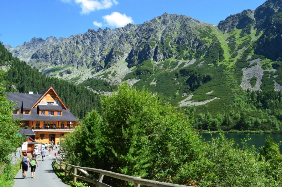
An easy walk from the Tatra Electric Railway stop leads along a wide paved road into the Mengusovská Valley. The trail is marked with blue hiking signs and climbs gently through the forest the entire way. Thanks to its solid surface, it is suitable for families with children, active seniors, sports strollers, and visitors with limited mobility.
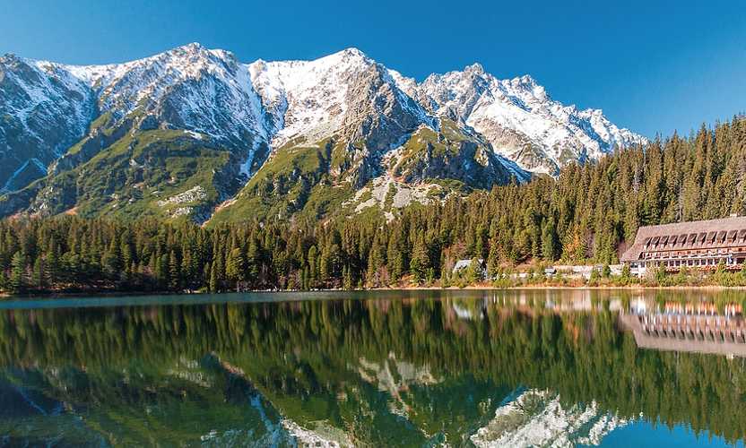
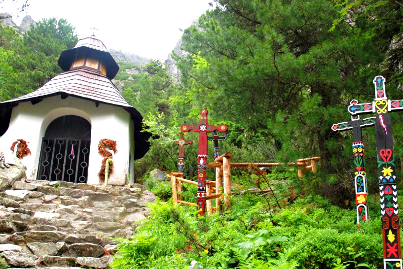
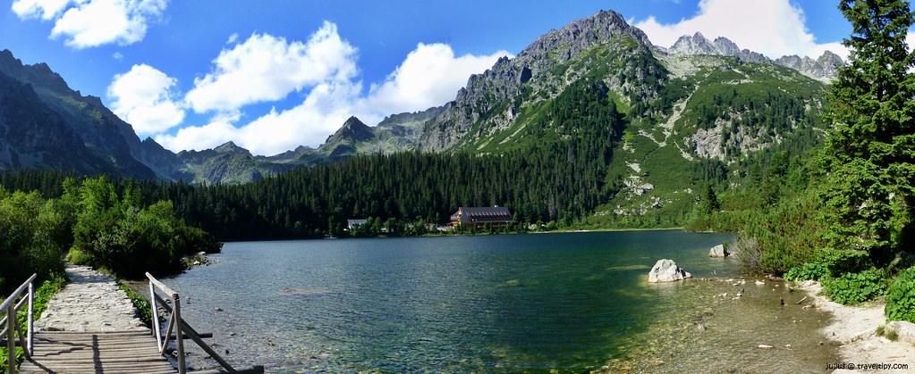
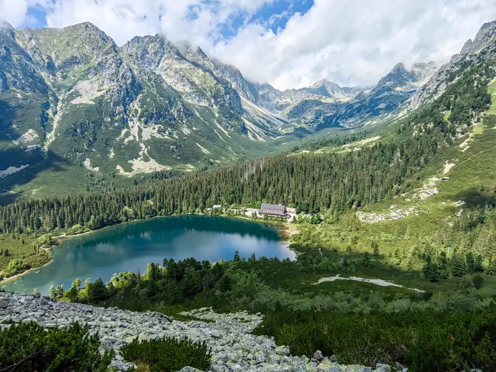
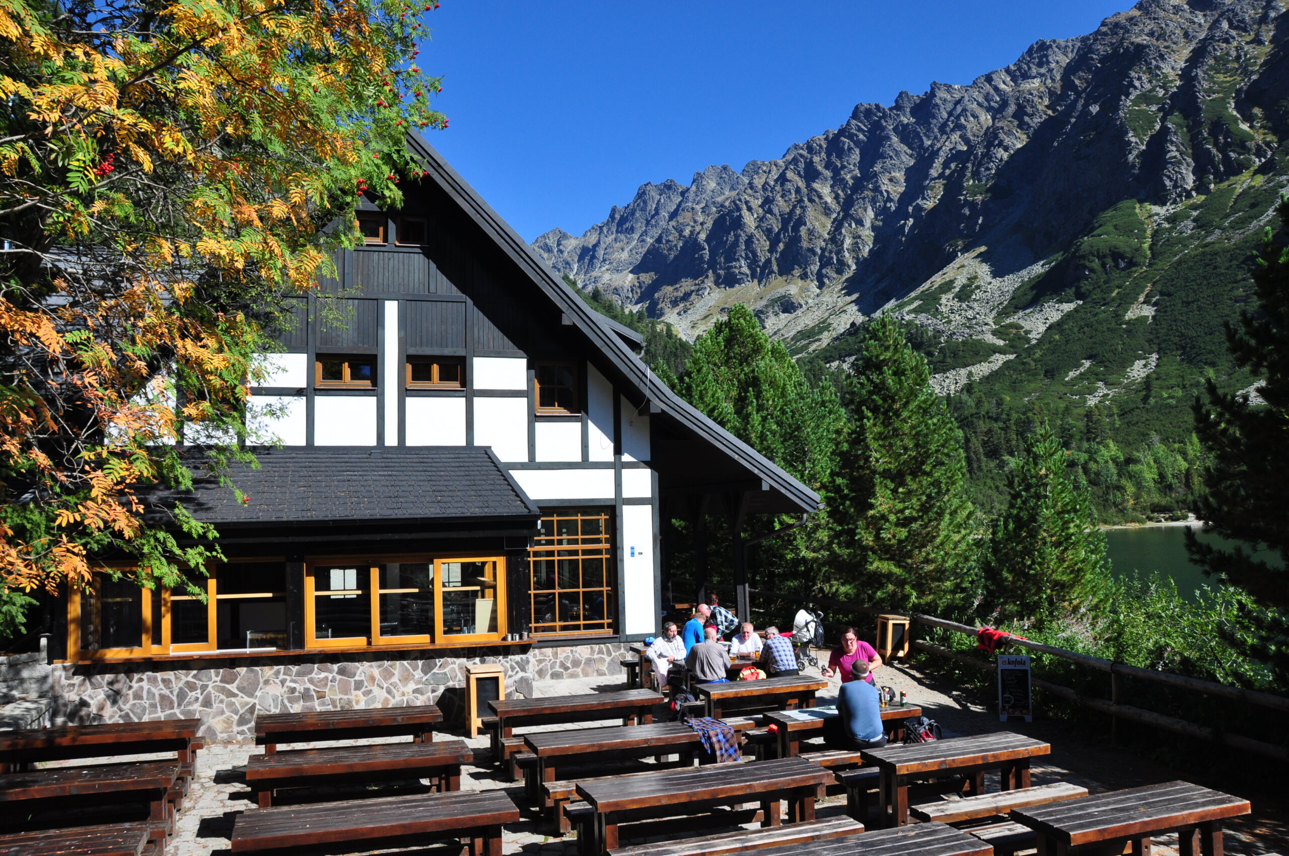
The destination is Popradské Pleso, surrounded by the peaks of the Mengusovská Valley. On its shore are the Popradské Pleso Mountain Hotel and Majláthova Chalet, where you can rest, grab a bite to eat, or relax on the terrace. Near the lake is also a symbolic cemetery dedicated to the victims of the mountains.
What can you experience and see along the route?

Trasa a výškový profil
What do you need to know before you arrive?
Please read this before your visit
The stated distance of approximately 4.2 km and the estimated time of about 1 hour and 10 minutes refer to the route from the TEŽ stop to Popradské pleso. If you return via the same route, expect a total distance of approximately 9 km.
The trail is classified as an accessible trail and runs along an asphalt surface for its entire length. However, it has an elevation gain of approximately 250 meters, so visitors in wheelchairs may need assistance from an escort.
The paved road also serves as a marked bike trail to Popradské pleso. Therefore, while walking, be aware of cyclists and stay close to the edge of the road.
A pleasant climb that ends with a view of the mountain lake
From the TEŽ Popradské Pleso stop, the blue-marked trail first runs alongside the railroad tracks and then turns into the forest. The route continues on a paved surface without any technically challenging sections, chains, or rocky alpine stretches. Over a distance of approximately 4.2 kilometers, it gains about 250 meters in elevation.
The highest point of the hike is Popradské Pleso, which lies at an elevation of approximately 1,500 meters. You can end the hike with a rest by the lake or extend it with a visit to the Symbolic Cemetery, about a 30-minute walk away. The return to the bus stop follows the same route.
Trail Markings
Blue trail
TEŽ Popradské Pleso stop – Popradské Pleso
Return
Popradské Pleso – TEŽ Popradské Pleso stop via the same route
Landmarks along the route
TEŽ Popradské Pleso Stop
Crossroads above the stop
Paved road through the Mengusovská Valley
Majláthova Chalet
Popradské Pleso Mountain Hotel
Popradské Pleso – approximately 1,500 m above sea level


Tak to u nás vyzerá. Pozrite sa

Other tourist activities with children
Didn't find what you're looking for? Explore other family-friendly trails, nature trails, and hidden natural gems in the High Tatras that you can easily enjoy even with the youngest children.


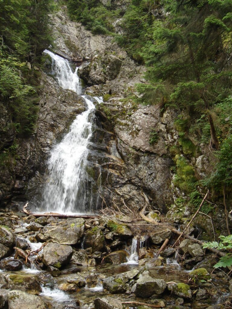


Must-See Places. Discover them one by one
Every corner of the High Tatras has its own story. Discover the places that shape the character of the region.









Webkamery
Poprad
-1°C
Jasno

Lomnický štít
-10°C
Jasno
Tatranská Lomnica
0°C
Jasno
Starý Smokovec
1°C
Jasno
Hrebienok
0°C
Jasno
Štrbské Pleso
1°C
Jasno
Skalnaté pleso
-1°C
Jasno
Solisko
-1°C
Jasno


Všetko, čo potrebujete vedieť pred výletom
Odpovede na najčastejšie otázky o regióne Vysoké Tatry.
