

A short running loop through the streets of Nová Lesná
Nová Lesná – a loop through the village streets – Nová Lesná



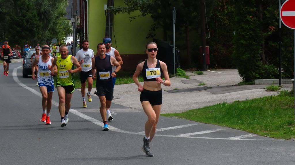
A short loop suitable for recreational running
An easy course for a wide range of runners
Total ascent and descent on the circuit
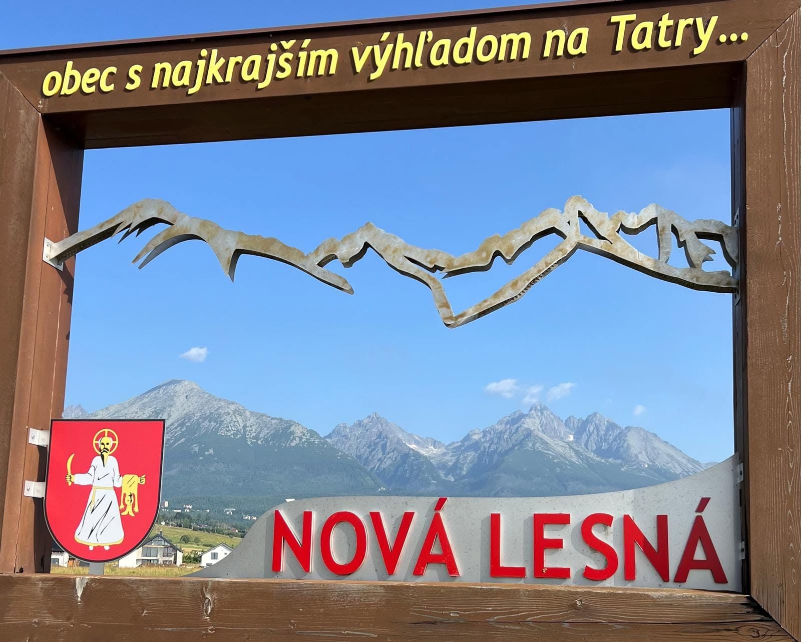
A Quick Workout in a Village at the Foot of the Tatra Mountains
The Small Loop in Nová Lesná is a short running route that winds through the built-up area of the village. Over a distance of 1.9 kilometers, it features only slight elevation changes, making it suitable for recreational running, shorter fitness training, and repeated sprints. The lowest point of the course is at an elevation of 740 meters above sea level, and the highest point is at 776 meters above sea level.
What can you experience and see along the route?

Trasa a výškový profil
What do you need to know before you arrive?
Please read this before your visit
At 1.9 kilometers long, the course can be run as a short recreational run or repeated several times. The loop is also suitable for interval training, which alternates between a faster pace and a slower, recovery lap.
The route runs through the streets of Nová Lesná, so when running on your own, be aware of pedestrians, local traffic, and intersections. Always use the sidewalks, follow traffic rules, and slow down in areas with limited visibility.
An easy running route, even for multiple laps
Elevation Profile
The course ranges in elevation from approximately 740 to 776 meters above sea level. The difference between the lowest and highest points is 36 meters. Both the total ascent and total descent are 36 meters, which corresponds to a gently undulating loop with no significant uphill stretches.
Short ascents and descents are distributed throughout a single lap. At a relaxed pace, they do not pose a significant physical challenge; however, when running at a fast pace or repeating laps, they can increase the intensity of the workout.
Course Description
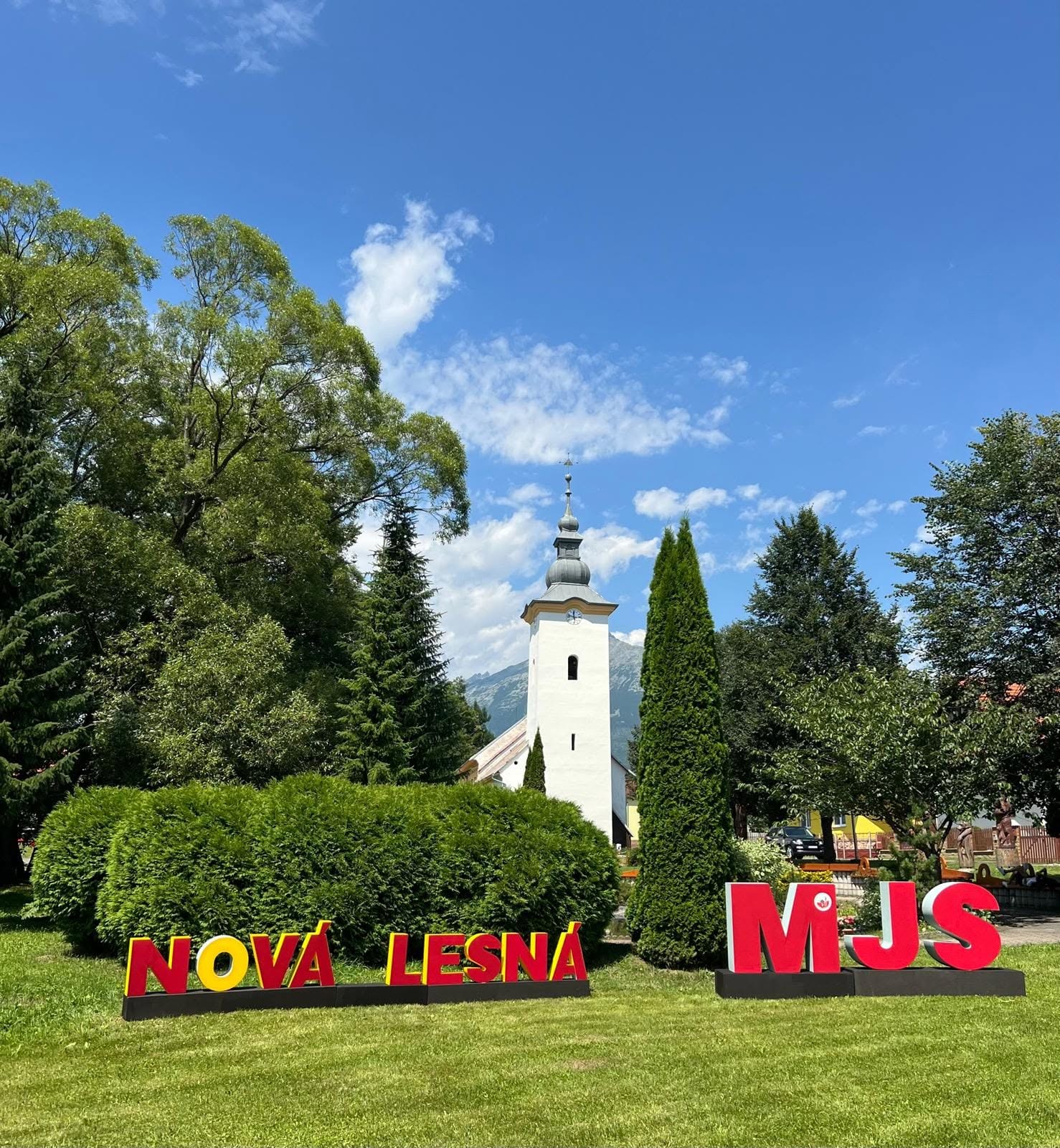
You’ll start your run in Nová Lesná and continue along a loop through the village streets. The route stays within the village area at the foot of the Tatra Mountains and, after 1.9 kilometers, returns to the same starting point. For longer training sessions, you can complete the loop multiple times.

Tak to u nás vyzerá. Pozrite sa
Explore the region in your running shoes
The Tatra Mountains offer a diverse network of running trails for both recreational and experienced runners—from easy trails in the foothills to challenging mountain loops with elevation gains and views that make every kilometer run well worth it.
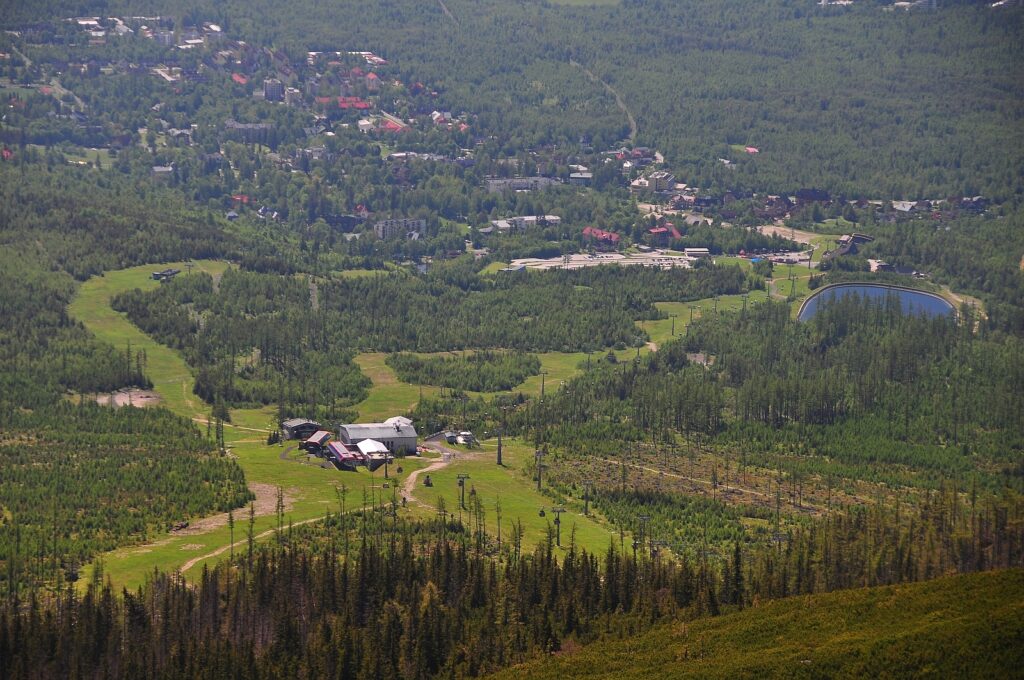




Must-See Places. Discover them one by one
Every corner of the Tatra Mountains has its own story. Discover the places that shape the character of the region.









Webkamery
Poprad
-1°C
Jasno

Lomnický štít
-9°C
Prevažne jasno

Tatranská Lomnica
-1°C
Prevažne jasno
Starý Smokovec
0°C
Prevažne jasno
Hrebienok
-1°C
Prevažne jasno
Štrbské Pleso
1°C
Jasno
Skalnaté pleso
0°C
Prevažne jasno
Solisko
0°C
Jasno


Všetko, čo potrebujete vedieť pred výletom
Odpovede na najčastejšie otázky o regióne Vysoké Tatry.
