

Forest Running Trail Through Medvedia Meadow
Tatranská Lomnica – Ski Area – Medvedia lúka – Tatranská Lomnica



A loop starting from the center of Tatranská Lomnica
A technically easy course on gently rolling terrain
Total ascent and descent
From a Tatra village to a peaceful forest setting
The running loop begins at the bus station in Tatranská Lomnica and continues past the Tulipán Hotel, the soccer field, and around the Kobisko Equestrian Center. From the built-up area, it moves onto a paved hiking trail and then onto a paved forest road, along which it gradually climbs toward the forest ranger station and Medvedia Meadow.
From Medvedia Meadow, the route continues toward Cesta slobody in Tatranské Matliare and then returns to Tatranská Lomnica. Most of the approximately seven-kilometer loop consists of asphalt, supplemented by a shorter section along a paved nature trail.
What can you experience and see along the route?

Trasa a výškový profil
What do you need to know before you arrive?
Please read this before your visit
Approximately 87% of the course is paved, and 13% runs along a compacted natural trail. Road or all-purpose running shoes are recommended, as they provide sufficient cushioning on hard surfaces and stability on the forest section.
The trail ranges in elevation from approximately 784 to 892 meters above sea level. The total ascent and descent is 136 meters, so the trail has a gently undulating profile without any long, steep climbs. Save most of your energy for the uphill section from the forest road through the forester’s lodge to Medvedia Meadow.
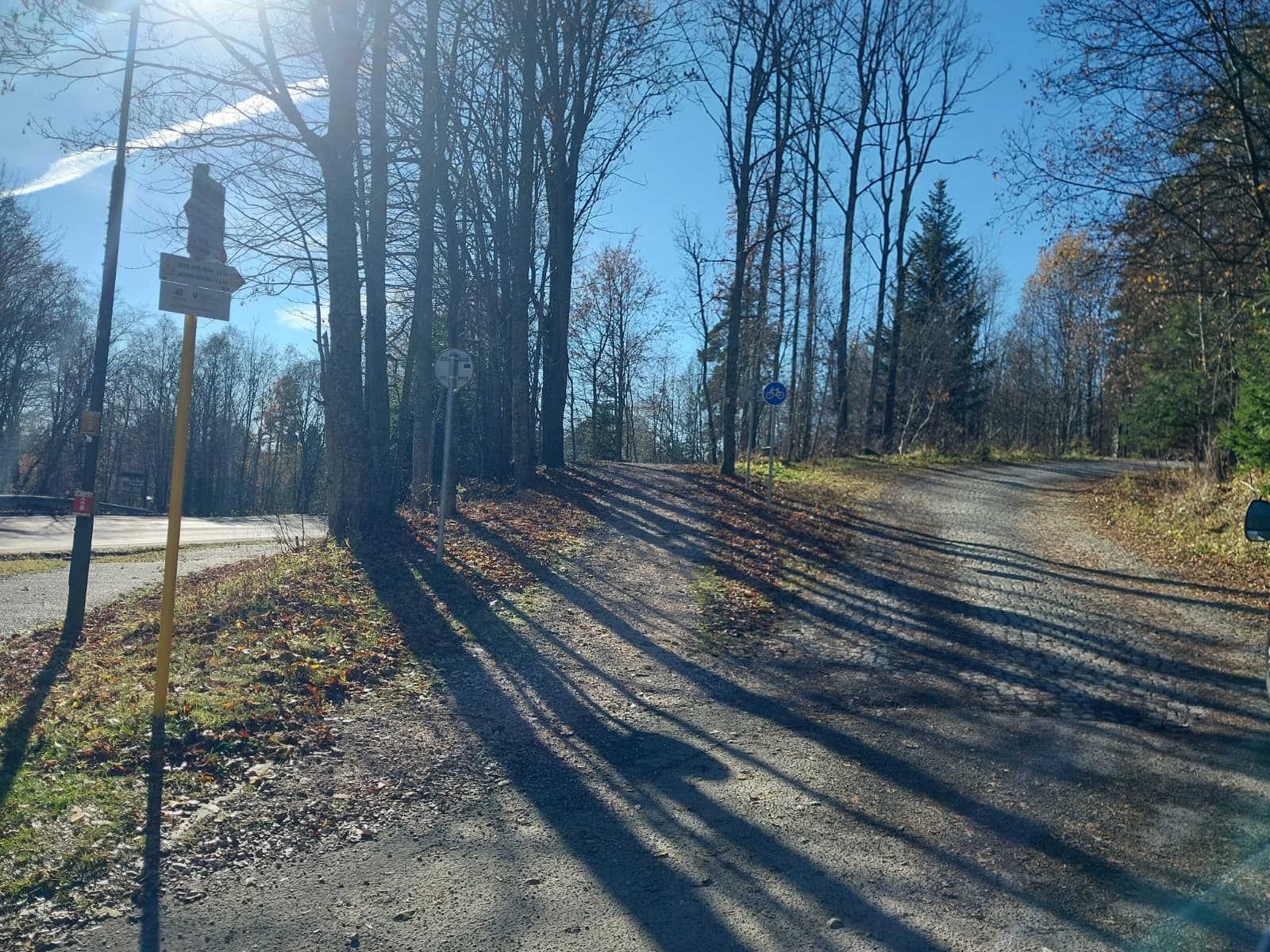
The trail is marked with orange "Tatry v pohybe" signs. Please pay special attention when crossing the road behind the equestrian center and when turning off the paved trail onto the asphalt forest road.
Seven kilometers between the village, the forest, and Medveďa Meadow
Elevation Profile
The lowest point of the course is at an elevation of approximately 784 meters above sea level, and the highest point reaches 892 meters above sea level. Over the course of the entire route, runners climb and descend a total of approximately 136 meters.
The initial section from the station toward the sports complex is relatively gentle. After connecting to a paved forest road, the trail gradually climbs toward the forest ranger station and Medvedia Meadow. From Tatranské Matliare, the trail returns to the lower-lying town of Tatranská Lomnica.
Course Route
Start your run at the bus station in Tatranská Lomnica. Continue along the sidewalk past the Tulipán Hotel, the soccer field, and the equestrian center.
At the end of the equestrian center, cross to the other side of the road and join the paved hiking trail. Follow it downhill until you reach the turnoff onto the paved forest road.
The forest trail begins to climb gradually toward the forester’s lodge. Near the lodge, the trail turns left and continues uphill through the woods around Medvedia Meadow.
Once you reach Cesta slobody in Tatranské Matliare, head back toward Tatranská Lomnica. The loop ends at the bus station, which is both its starting point and finish line.

Tak to u nás vyzerá. Pozrite sa
Explore the region in your running shoes
The Tatra Mountains offer a diverse network of running trails for both recreational and experienced runners—from easy trails in the foothills to challenging mountain loops with elevation gains and views that make every kilometer run well worth it.
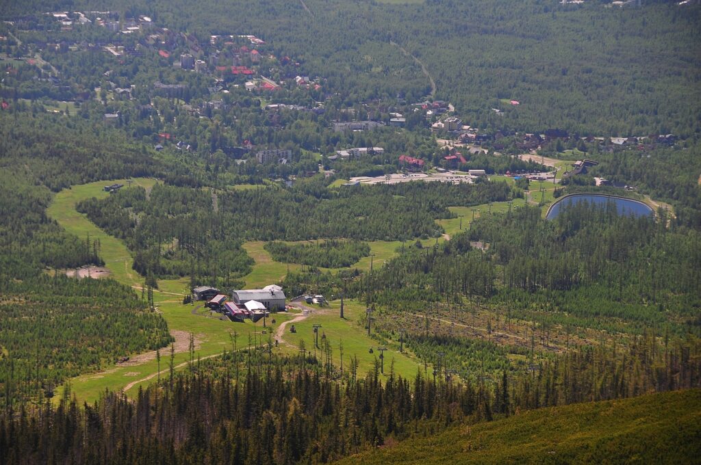




Must-See Places. Discover them one by one
Every corner of the Tatra Mountains has its own story. Discover the places that shape the character of the region.









Webkamery
Poprad
-1°C
Prevažne jasno

Lomnický štít
-9°C
Prevažne jasno
Tatranská Lomnica
-1°C
Polooblačno
Starý Smokovec
1°C
Prevažne jasno
Hrebienok
-1°C
Prevažne jasno
Štrbské Pleso
1°C
Prevažne jasno
Skalnaté pleso
0°C
Polooblačno
Solisko
0°C
Prevažne jasno


Všetko, čo potrebujete vedieť pred výletom
Odpovede na najčastejšie otázky o regióne Vysoké Tatry.
