

To the Wahlenberg Glaciers
Štrbské Pleso – Crossroads below Furkotská Valley – Nižné Wahlenbergovo Pleso – Vyšné Wahlenbergovo Pleso



Length of a one-way route
A long climb in the mountains
Estimated time of ascent
Through the Furkot Valley to the mountain lakes above 2,000 meters
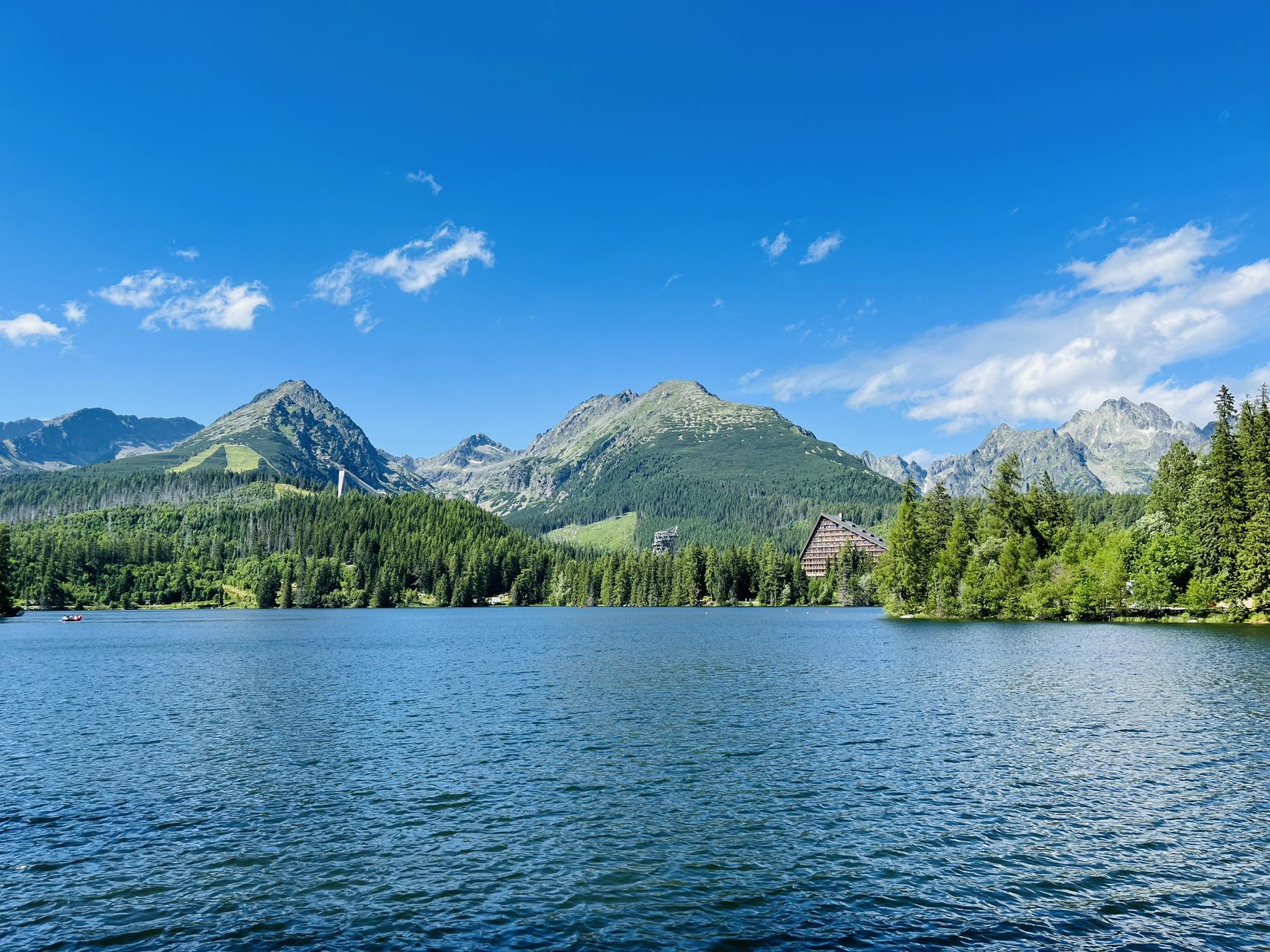
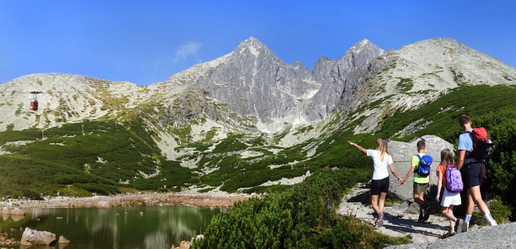
The hike begins at Štrbské Pleso and follows the red-marked Tatra Main Trail toward the junction below the Furkotská Valley. From there, it continues along the yellow-marked trail through the forest, mountain pine scrub, and the terraces of the Furkotská Valley. As the elevation increases, the trail surface changes to a rocky alpine path, and views of the surrounding ridges of the Krivánska Rázsocha open up. Furkotská Valley is approximately 5.5 kilometers long and consists of five glacial terraces.
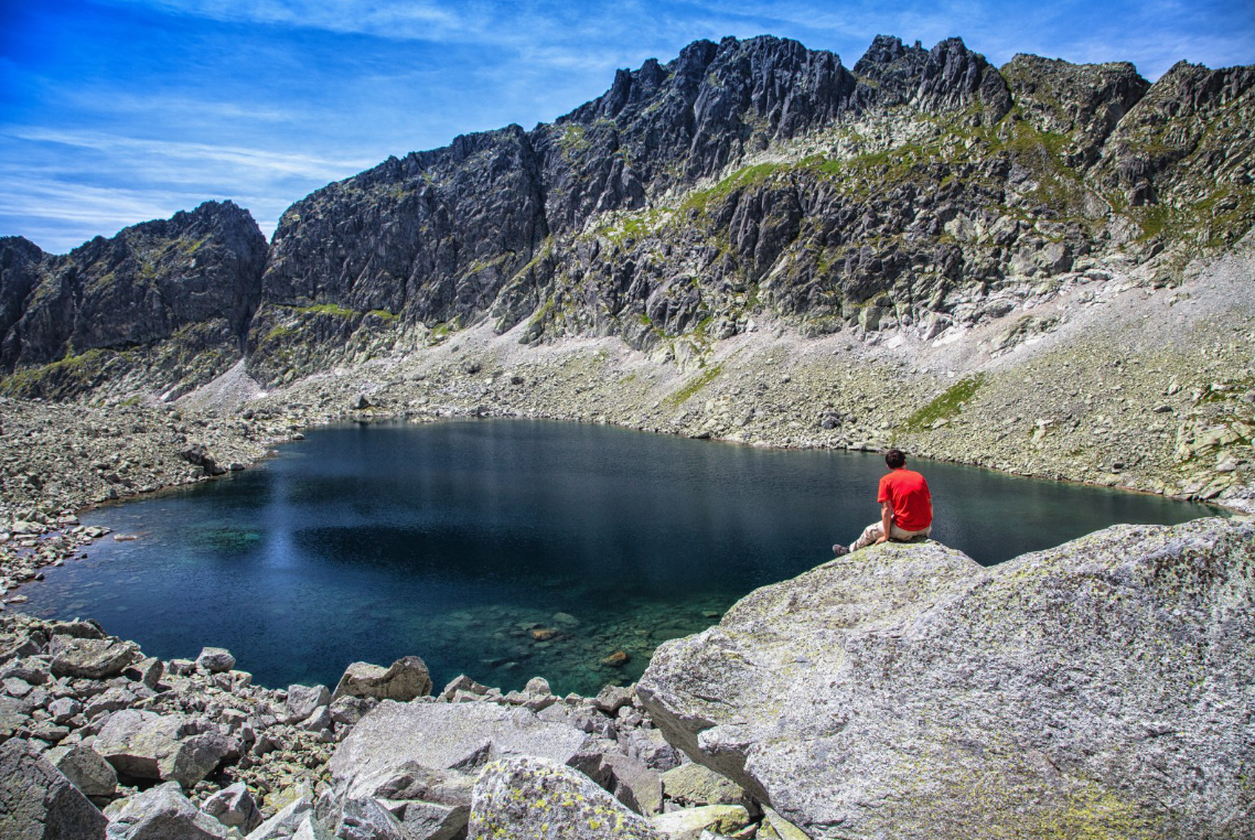
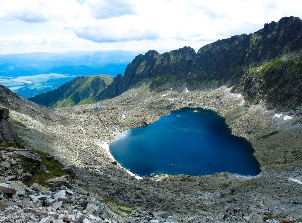
The first destination is Nižné Wahlenbergovo pleso at an elevation of 2,053 meters above sea level. After another ascent, the trail reaches Vyšné Wahlenbergovo pleso at an elevation of 2,157 meters above sea level. Upper Wahlenberg Lake covers an area of approximately 5.17 hectares and is 21 meters deep, while Lower Wahlenberg Lake covers approximately two hectares. The lakes are named after the Swedish botanist and physician Göran Wahlenberg, who studied the flora of the Tatra Mountains.
What can you experience and see along the route?

Trasa a výškový profil
What do you need to know before you arrive?
Please read this before your visit
The distance of 6.27 kilometers and the time of 3 hours and 15 minutes refer to the one-way ascent. If you return via the same trail, the entire trip is approximately 12.5 kilometers and takes more than six hours of walking.
The yellow-marked trail through the Furkotská Valley—from the crossroads below the Furkotská Valley, through the Škutnasta clearing, toward the Bystrá footbridge—is closed annually from November 1 through May 31. Therefore, you can only hike to the Wahlenberg Lakes outside of the closure period.
The main trail does not pass directly by the Chata pod Soliskom mountain hut. You can turn off the trail toward the hut at the Rázcestie pod Soliskom junction, but this detour will make the hike longer. It is therefore advisable to bring food and water with you from Štrbské Pleso.
From the Tatra Forest to the High-Mountain Basin

Tak to u nás vyzerá. Pozrite sa
Set out to discover the beauty of the Tatra Mountains
Hiking trails will take you to mountain lakes, waterfalls, mountain huts, and the peaks of the Tatra Mountains. Choose from easy walks to more challenging hikes and discover the region’s beauty step by step.




Must-See Places. Discover them one by one
Every corner of the Tatra Mountains has its own story. Discover the places that shape the character of the region.









Webkamery
Poprad
-1°C
Zamračené

Lomnický štít
-8°C
Zamračené
Tatranská Lomnica
-1°C
Zamračené
Starý Smokovec
1°C
Zamračené
Hrebienok
-1°C
Zamračené
Štrbské Pleso
0°C
Zamračené
Skalnaté pleso
0°C
Zamračené
Solisko
-1°C
Zamračené


Všetko, čo potrebujete vedieť pred výletom
Odpovede na najčastejšie otázky o regióne Vysoké Tatry.
