

From Sedielko to Javorová Valley
Sedielko – Zadná Javorová Valley – Tatranská Javorina


Length of the descent route
Exposed terrain with chains
Estimated walking time
From the highest pass to a quiet valley
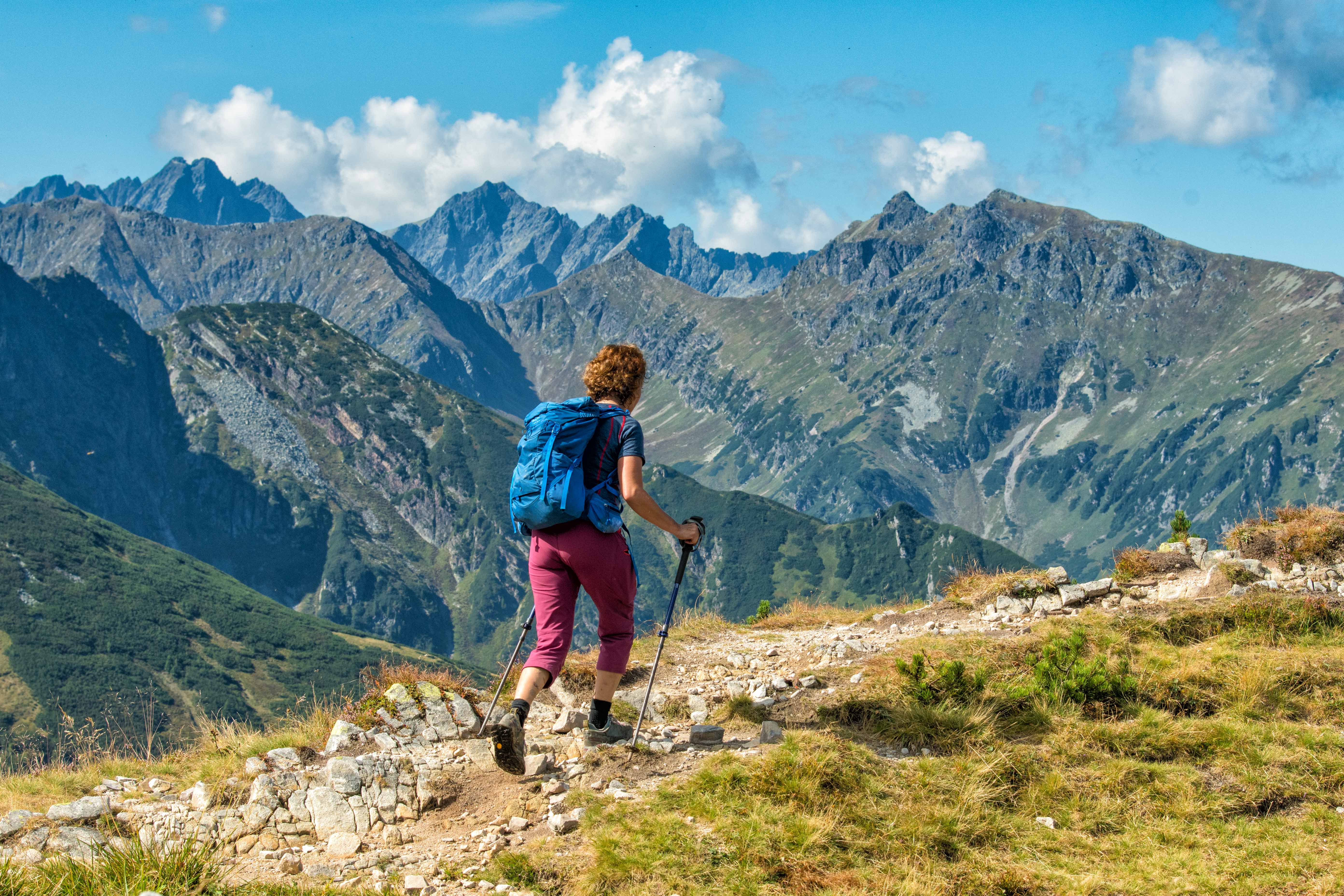
Sedielko is the highest pass accessible to hikers in the High Tatras and connects Malá Studená Valley with Zadná Javorová Valley. From the pass, there are views of the surrounding peaks and the deep Javorová Valley, into which the trail then descends steeply.
The initial descent follows a newly restored trail through exposed rocky terrain secured with chains and climbing rungs. Further down, the trail approaches Žabie Javorové Pleso and continues through open alpine terrain, dwarf pine scrub, and forested sections all the way to Tatranská Javorina. Žabie Javorové pleso is visible directly from the hiking trail.
What can you experience and see along the route?

Trasa a výškový profil
What do you need to know before you arrive?
Please read this before your visit
The designation “easy” is not appropriate for this section. Although the route from Sedielko is mostly downhill, it begins in exposed terrain with long sections requiring the use of chains and numerous climbing rungs. It requires experience navigating secured high-altitude trails.
The green-marked trail through Sedielko was closed during extensive renovations. In July 2026, the TANAP Administration reopened it after installing more than 300 handrails, 250 meters of chains, and other technical features. The current overview lists Sedielko as open until further notice.
The green-marked trail from the Pod Muráňom junction through the Javorová Valley to Sedielko is closed every year from November 1 through May 31. The same closure applies on the opposite side, from Téryho Chata to Sedielko.
A long descent from a high-altitude pass
The route begins in Sedielko at an elevation of 2,376 meters above sea level. The first few meters lead through steep rocky terrain, where new chains, rungs, and other technical aids make the climb easier. This section is the most challenging part of the descent and requires concentration, arm strength, and surefootedness on the rock.
After descending into the Zadná Javorová Valley, the slope gradually levels off. The trail continues near Žabie Javorové Pleso, then passes through dwarf pine scrub and enters the extensive forested area of the Javorová Valley. The final section runs alongside the Javorinka River, past the Pod Muráňom junction, to Tatranská Javorina.
Trail Markings
Green trail
Sedielko – Zadná Javorová Valley – Javorová Valley – Pod Muráňom – Tatranská Javorina
The entire descent follows the green-marked hiking trail, which continues through Sedielko all the way to Malá Studená Valley.
Landmarks along the route
Sedielko – 2,376 m above sea level
Secured rock section
Zadná Javorová Valley
Žabie Javorové Lake
Javorová Valley
Javorinka Stream
Pod Muráňom Junction
Tatranská Javorina

That's how it looks here. Take a look
Set out to discover the beauty of the Tatra Mountains
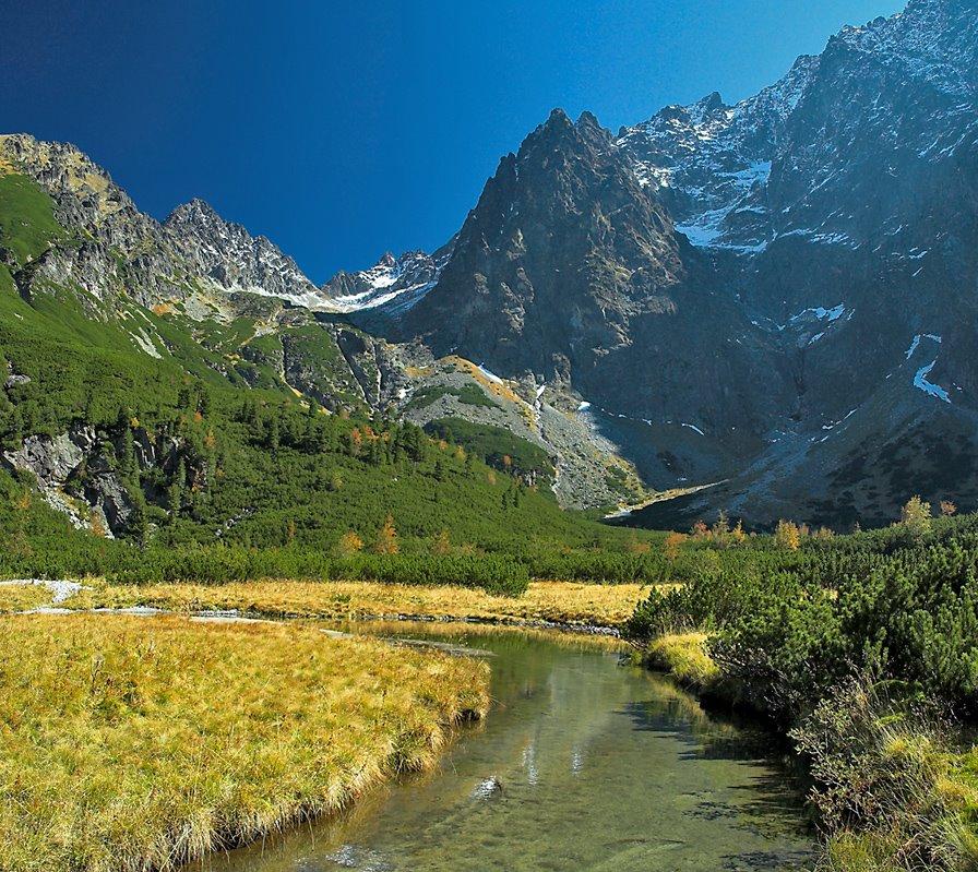
Hiking trails will take you to mountain lakes, waterfalls, mountain huts, and the peaks of the Tatra Mountains. Choose from easy walks to more challenging hikes and discover the region’s beauty step by step.




Must-See Places. Discover them one by one
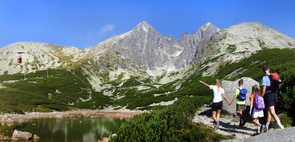
Every corner of the Tatra Mountains has its own story. Discover the places that shape the character of the region.









Webkamery
Poprad
-1°C
Prevažne jasno

Lomnický štít
-9°C
Prevažne jasno
Tatranská Lomnica
-1°C
Polooblačno
Starý Smokovec
1°C
Prevažne jasno
Hrebienok
-1°C
Prevažne jasno
Štrbské Pleso
1°C
Prevažne jasno
Skalnaté pleso
0°C
Polooblačno
Solisko
0°C
Prevažne jasno


Všetko, čo potrebujete vedieť pred výletom
Odpovede na najčastejšie otázky o regióne Vysoké Tatry.
