

A challenging hike to Zelené pleso beneath the Tatra peaks
Biela Voda – Šalviový Spring – Kovaľčíkova Poľana – Zelené Pleso



Estimated travel time for the round trip
One-way output length
Route
With walking sticks all the way to Zelený ples
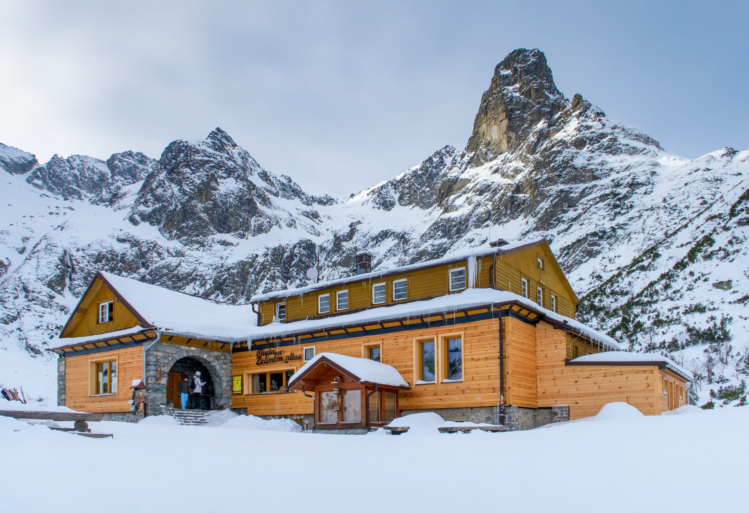
The trail begins at the Biela voda bus stop at an elevation of approximately 910 meters. Following the yellow hiking trail, you’ll gradually pass a fork in the trail with a covered shelter near Šalviov Spring and Kovaľčíkova Poľana, all the way to the Chata pri Zelenom plese mountain hut at an elevation of 1,551 meters. The ascent from Biela voda takes about three hours.
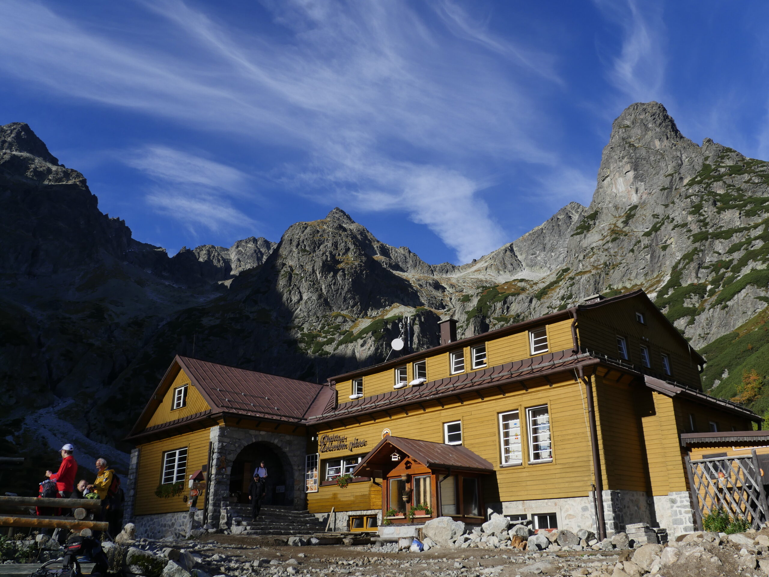
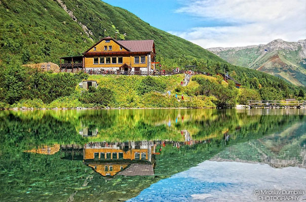
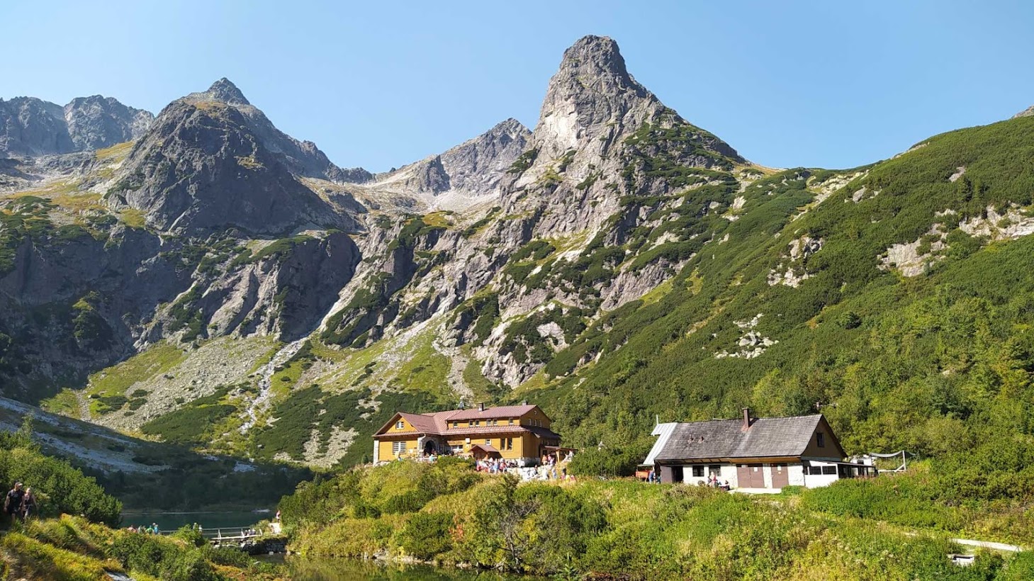
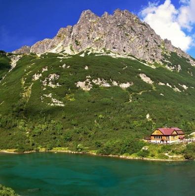
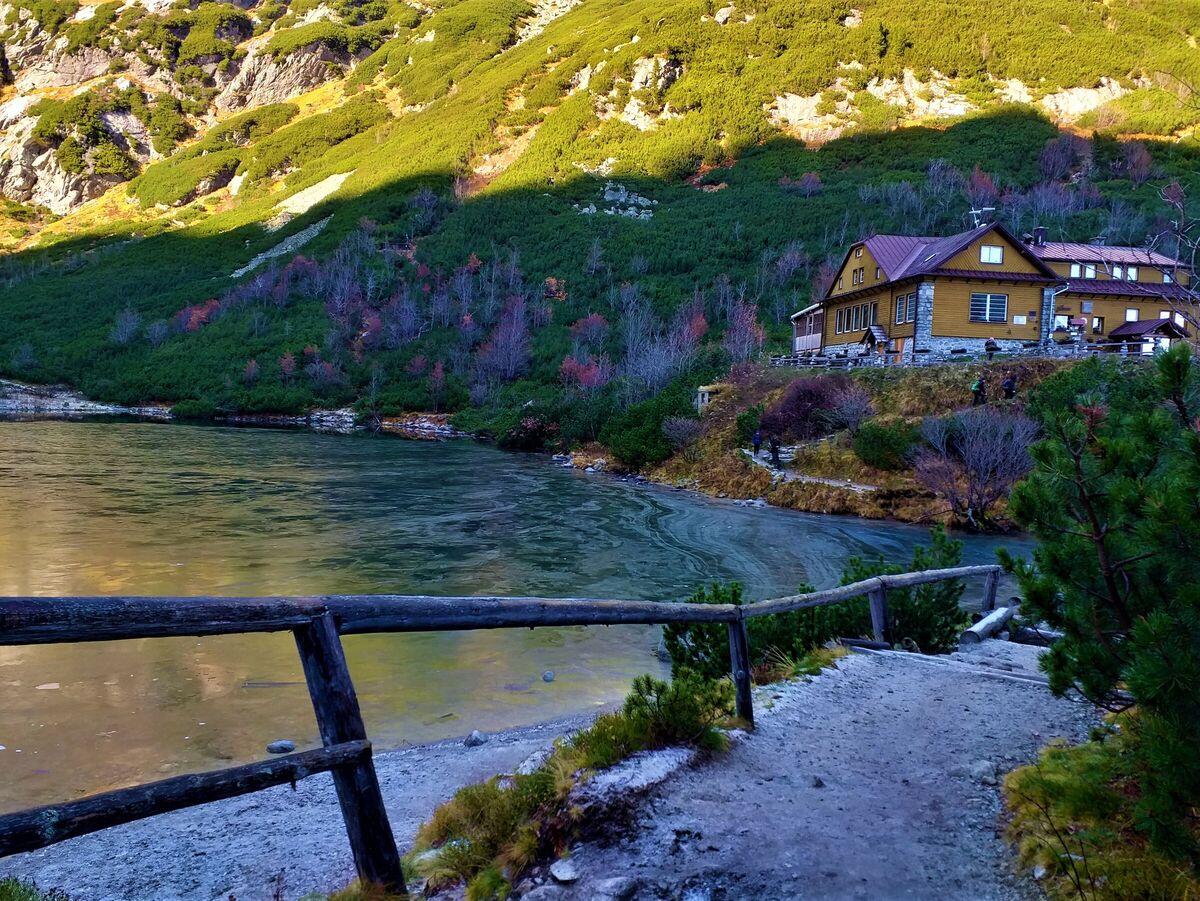
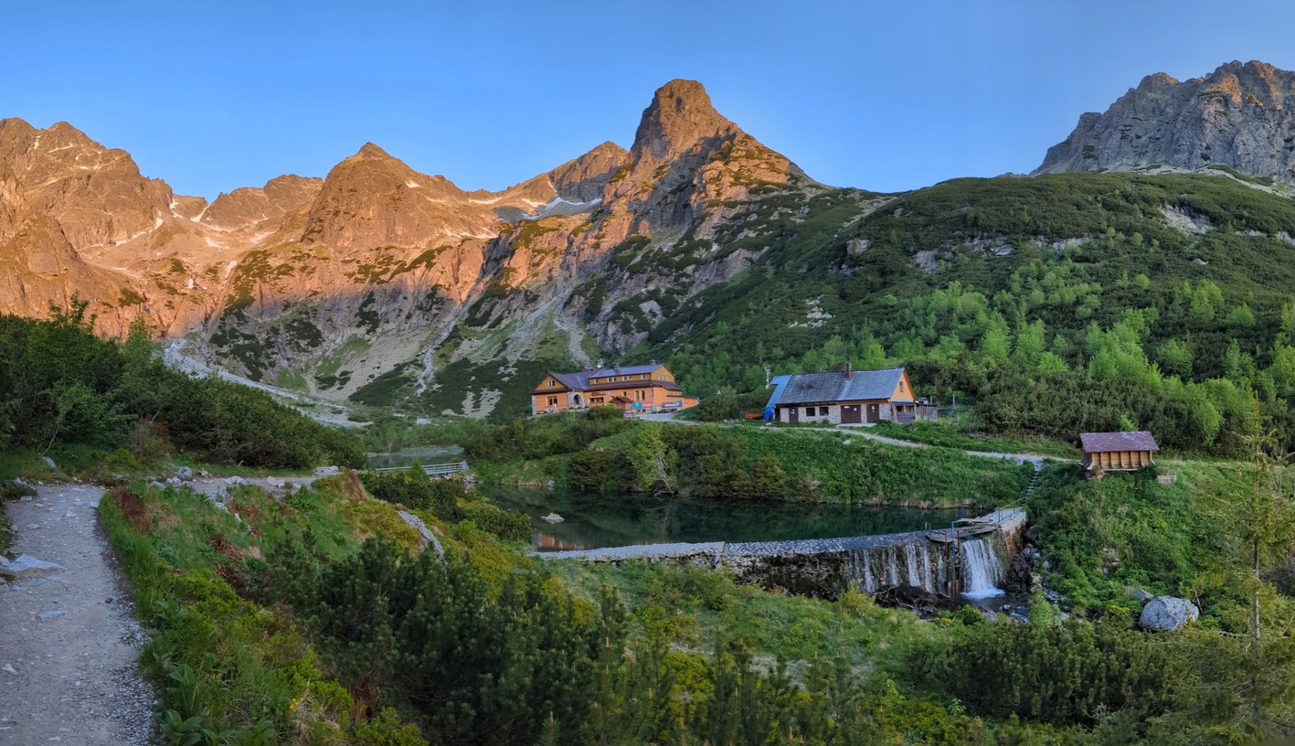
The trail’s destination lies in the Zelené pleso Valley below Jastrabá veža. Next to the lake is the Chata pri Zelenom plese mountain hut, open year-round, which offers a place to rest and have a snack before returning via the same route.
What can you experience and see along the route?

Trasa a výškový profil
What do you need to know before you arrive?
Please read this before your visit
The Biela voda–Zelené pleso round-trip route is classified as a challenging Nordic walking trail in the official guide. The long, continuous climb and mountainous terrain require good physical fitness, a steady gait, and proper use of poles.
Pair your Nordic walking poles with sturdy hiking boots and clothing suitable for mountain conditions. At higher elevations, there may still be patches of snow or icy spots even at the beginning of the summer season, so it’s important to adapt your gear to the current conditions.
A yellow hiking trail marker leads from Biela Voda to the cabin. The official cycling route No. 2860 also follows this same section, so please be considerate when walking on the wider parts of the trail and expect to encounter cyclists.
A hike with a long climb and a reward at Zelené pleso
Elevation Profile
The trail begins at Biela Voda at an elevation of approximately 910 meters above sea level and ends at the Chata pri Zelenom plese mountain hut at an elevation of 1,551 meters above sea level. The elevation gain between the start and the finish is approximately 640 meters. During the ascent, the trail climbs mostly gently, with the difficulty increasing primarily due to the length of the hike and the continuous gain in elevation.
Route Description
From the Biela voda bus stop, follow the yellow hiking trail toward the Kežmarská Biela voda Valley. The initial section leads through a forest and gradually ascends to the Šalviový Spring, where you’ll find a trail junction and a shelter.
From Šalviový Spring, continue along the yellow trail through Kovaľčíkova Poľana. As the elevation increases, the forest gradually opens up, and the final section leads you to the Zelené Pleso Valley. The destination is Zelené pleso and the alpine hut standing next to it. After a break, return along the same route back to Biela voda.
Trail Markings
From the starting point at Biela Voda all the way to the Chata pri Zelenom plese mountain hut, follow the yellow hiking trail markers. Take the same route and follow the same trail markers on your way back.
Stops along the route
Biela Voda – approximately 910 m above sea level
Starting point at the bus stop.
Sage Spring – approximately 1,100 m above sea level
A trail junction with a shelter along the route.
Kovaľčíkova poľana
A landmark between the Šalvi Spring and the trail’s endpoint.
Mountain Hut at Zelené pleso – 1,551 m above sea level
The destination of the hike at Zelené pleso and a place to rest.

That's how it looks here. Take a look
Set out to discover the beauty of the Tatra Mountains
Nordic walking combines active exercise in the fresh air with exploring the beauty of the Tatra region. Set out on easy trails or longer loops and enjoy nature, the mountain atmosphere, and views of the Tatra peaks.





Must-See Places. Discover them one by one
Every corner of the Tatra Mountains has its own story. Discover the places that shape the character of the region.







The Tatra Mountains wake up differently every day
Current conditions, upcoming events, and editorial recommendations. Everything you need to know before heading to the Tatras.

Webcams
Poprad
-3°C
Clear

Lomnický štít
-12°C
Clear
Tatranská Lomnica
-4°C
Clear
Starý Smokovec
-3°C
Clear
Hrebienok
-3°C
Clear
Štrbské Pleso
-2°C
Clear
Skalnaté pleso
-3°C
Clear
Solisko
-3°C
Clear


Everything You Need to Know Before Your Trip
Answers to the most frequently asked questions about the High Tatras region.
