

A short running loop through the streets of Tatranská Lomnica
Bus Station – Vila Borievka – Health Center – Housing Development – Small Park – Bus Station



A short loop suitable for light training
An easy route for recreational runners
Total elevation gain during one lap
A quick workout right in Tatranská Lomnica
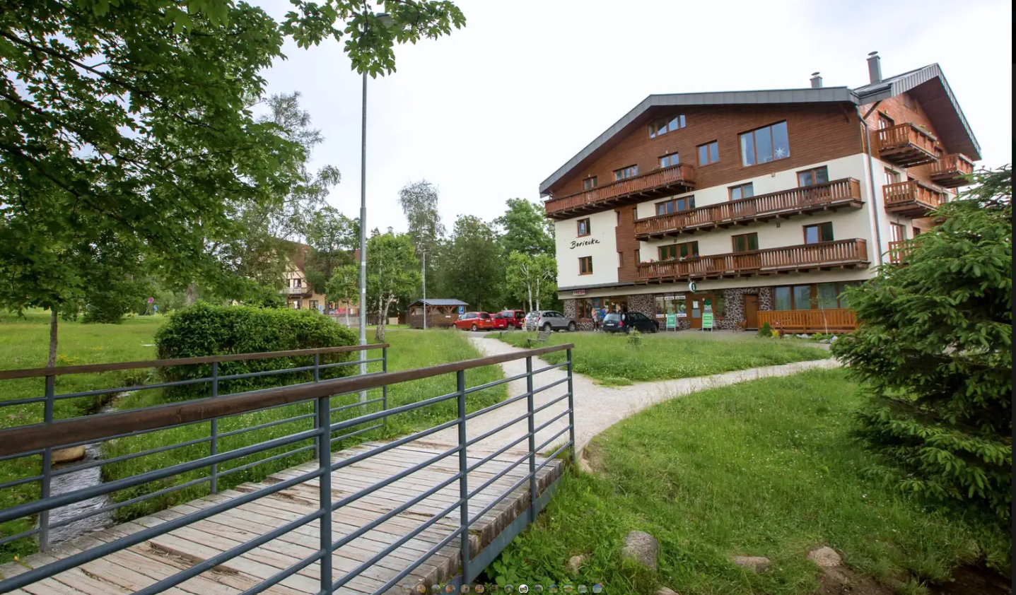
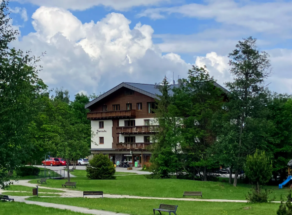
This short loop begins at the bus station in Tatranská Lomnica and follows sidewalks through the built-up area of the village. The route continues past Villa Borievka and the health center toward the residential neighborhood, from where it returns to the starting point through a small park.
Thanks to its short distance, paved surface, and minimal elevation gain, it is suitable for recreational running, warm-ups, recovery training, and repeated faster laps. The public course map lists a length of 1.24 kilometers, with a total ascent of 19 meters and a descent of 18 meters.
What can you experience and see along the route?

Trasa a výškový profil
What do you need to know before you arrive?
Please read this before your visit
One lap is approximately 1.25 kilometers long, so you can run it once or repeat it several times. The course is suitable for a warm-up, a recovery run, and interval training with rest periods between laps.
The entire route follows paved sidewalks. Road running shoes with adequate cushioning are recommended. The surface may be slippery after rain, during snowfall, or in freezing temperatures.
The route passes through a residential and busy area. While running, be considerate of pedestrians, watch out for driveways, and adjust your speed to the situation on narrower sidewalks.
An easy loop with minimal elevation gain
Elevation Profile
The lowest point of the route is located at an elevation of approximately 831 meters above sea level, and the highest point reaches 848 meters above sea level. The total ascent is 19 meters, and the total descent is 18 meters.
The difference between the lowest and highest points is only 17 meters. The profile is therefore slightly undulating and does not include any long or steep climbs.
Course Route
Start your run at the bus station in Tatranská Lomnica. Continue along the sidewalk past Villa Borievka and then alongside the health center toward the residential area.
Within the housing development, the route winds through a small park. From there, you continue back toward the bus station, where the approximately 1.25-kilometer loop ends.
The short distance and straightforward layout make it possible to complete several laps without having to change the starting point.
Course Markings
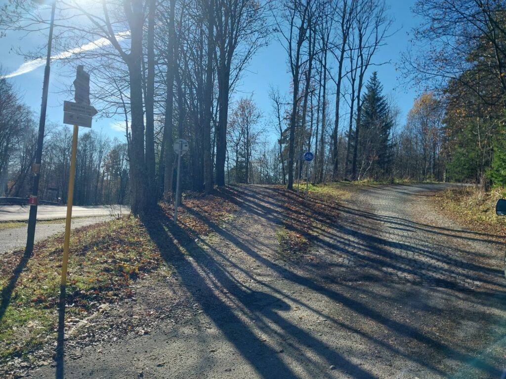
The course is marked with blue signs. To find your way, follow the paths leading from the bus station past Villa Borievka and the health center toward the housing development, and then through the park back to the starting point.

Tak to u nás vyzerá. Pozrite sa

Explore the region in your running shoes
The Tatra Mountains offer a diverse network of running trails for both recreational and experienced runners—from easy trails in the foothills to challenging mountain loops with elevation gains and views that make every kilometer run well worth it.




Must-See Places. Discover them one by one
Every corner of the Tatra Mountains has its own story. Discover the places that shape the character of the region.








The Tatra Mountains wake up differently every day
Current conditions, upcoming events, and editorial recommendations. Everything you need to know before heading to the Tatras.

Webcams
Poprad
-3°C
Clear

Lomnický štít
-12°C
Clear
Tatranská Lomnica
-4°C
Clear
Starý Smokovec
-3°C
Clear
Hrebienok
-3°C
Clear
Štrbské Pleso
-2°C
Clear
Skalnaté pleso
-3°C
Clear
Solisko
-3°C
Clear


Everything You Need to Know Before Your Trip
Answers to the most frequently asked questions about the High Tatras region.
