From a village at the foot of the Tatra Mountains all the way to Tatranská Štrba
Štrba – water reservoir – underpass beneath the railroad tracks – Tatranská Štrba – Koliba Žerucha



One-way route between Štrba and Tatranská Štrba
A technically easy run on paved roads
Total elevation gain along the route
A smooth run from Štrba toward the Tatra peaks
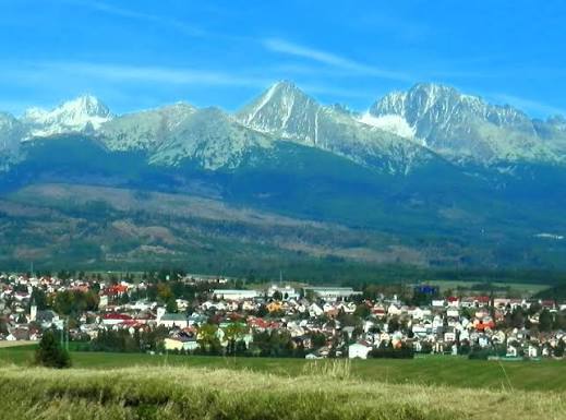
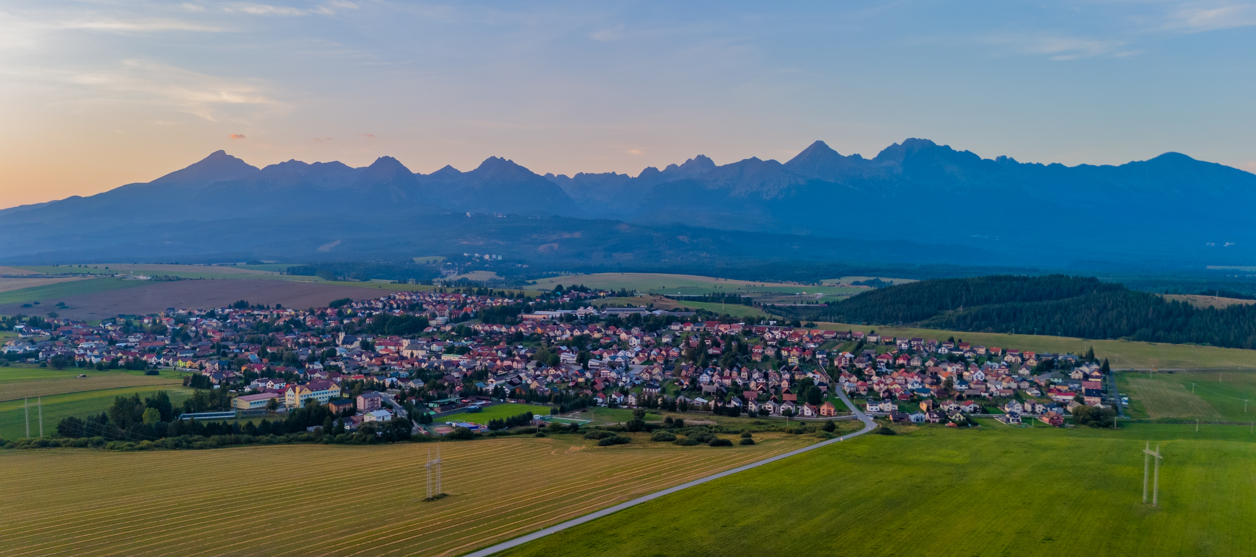
The running route begins at the Cultural Center in Štrba and gradually heads toward the Tatranská Štrba neighborhood. From the village streets, it moves onto a gravel-and-asphalt road, crosses over the D1 highway, and continues toward the railroad tracks. After passing through an underpass, it connects to the roads leading to Tatranská Štrba.
The course is 5.30 kilometers long and consists of approximately 70% asphalt and 30% gravel. The route is predominantly uphill, but the profile remains technically undemanding and is suitable for recreational or light endurance running. The finish line is located near Koliba Žerucha.
What can you experience and see along the route?

Trasa a výškový profil
What do you need to know before you arrive?
Please read this before your visit
The trail ranges in elevation from approximately 829 to 911 meters above sea level. The total elevation gain is 139 meters and the total elevation loss is 63 meters, so the trail is predominantly uphill when traveling from Štrba to Tatranská Štrba. The ascent is spread out over several sections and is not a steep mountain climb.
Approximately 70% of the route is on asphalt and 30% on gravel. The best choice is a versatile running shoe with adequate cushioning and a stable outsole that can handle both hard and unpaved surfaces.
The run ends at Koliba Žerucha in Tatranská Štrba. Since the route does not return to the starting point, plan your transportation back to Štrba in advance or run the same section in the opposite direction. If you run back the same way, the total distance will be approximately 10.3 kilometers.
Five kilometers from Štrba to a higher-altitude Tatra village
Elevation Profile
The lowest point of the course is at an elevation of approximately 829 meters above sea level, and the highest point reaches 911 meters above sea level. Along the route, runners climb approximately 139 meters and descend 63 meters.
The route gradually gains elevation from the center of Štrba toward the water tower and Tatranská Štrba. Shorter descents break up the overall climb, making it possible to maintain a steady pace along most of the route.
Course Route
The run starts at the Cultural Center in the center of Štrba. Continue along Dr. Markušovského Street toward Tatranská Štrba. After passing the bus stop by the cemetery, turn left and follow Martina Benku Street to the edge of the village.
At the field, turn north. After about 150 meters, below the water tower, continue left along the gravel-and-asphalt road heading west. The road crosses the D1 highway and, past the gas station, climbs toward an intersection where you’ll head northwest toward the railroad tracks.
Cross the railroad tracks via the underpass and join the third-class road at the pond. After crossing it, continue along the sidewalk toward Tatranská Štrba.
At the end of the trail, cross the main road and continue along Železničná Street toward the gas station. From there, cross Highway I/18 and run to Koliba Žerucha, where the one-way trail ends.

That's how it looks here. Take a look
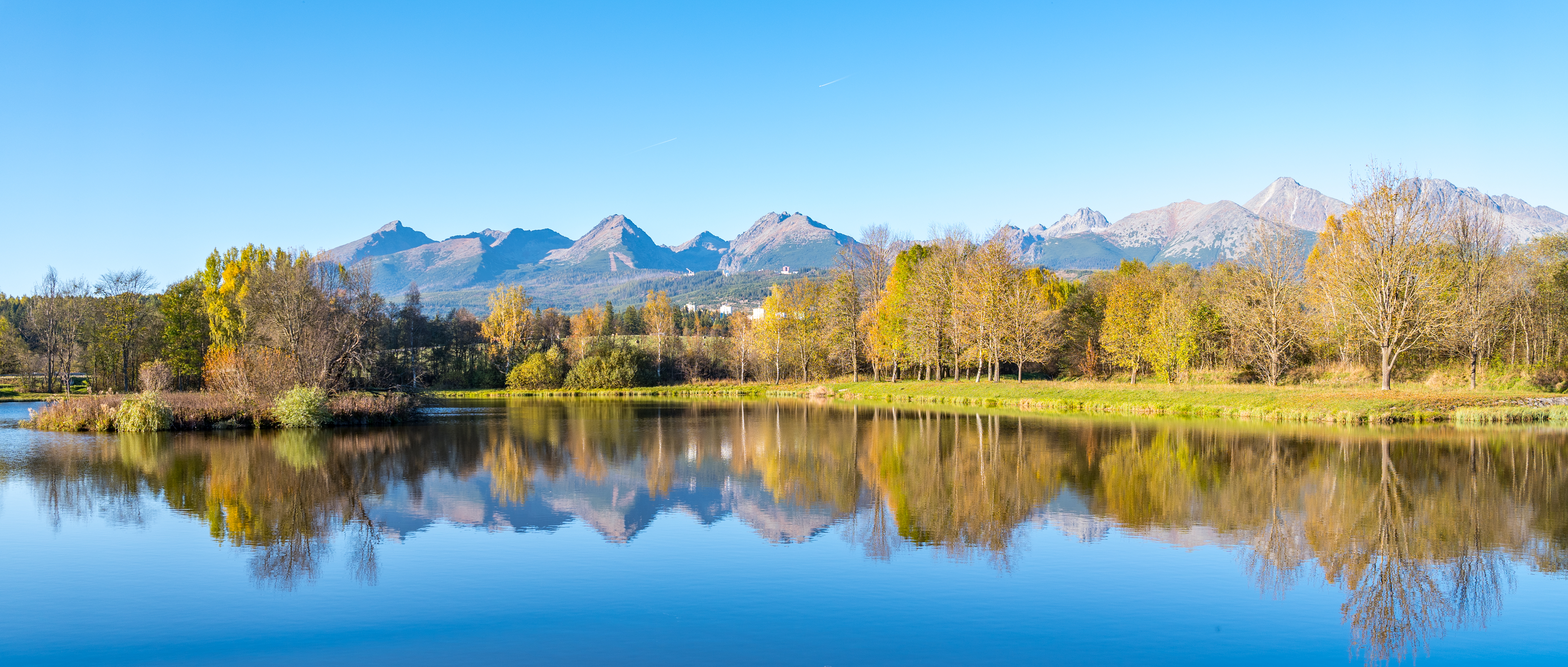
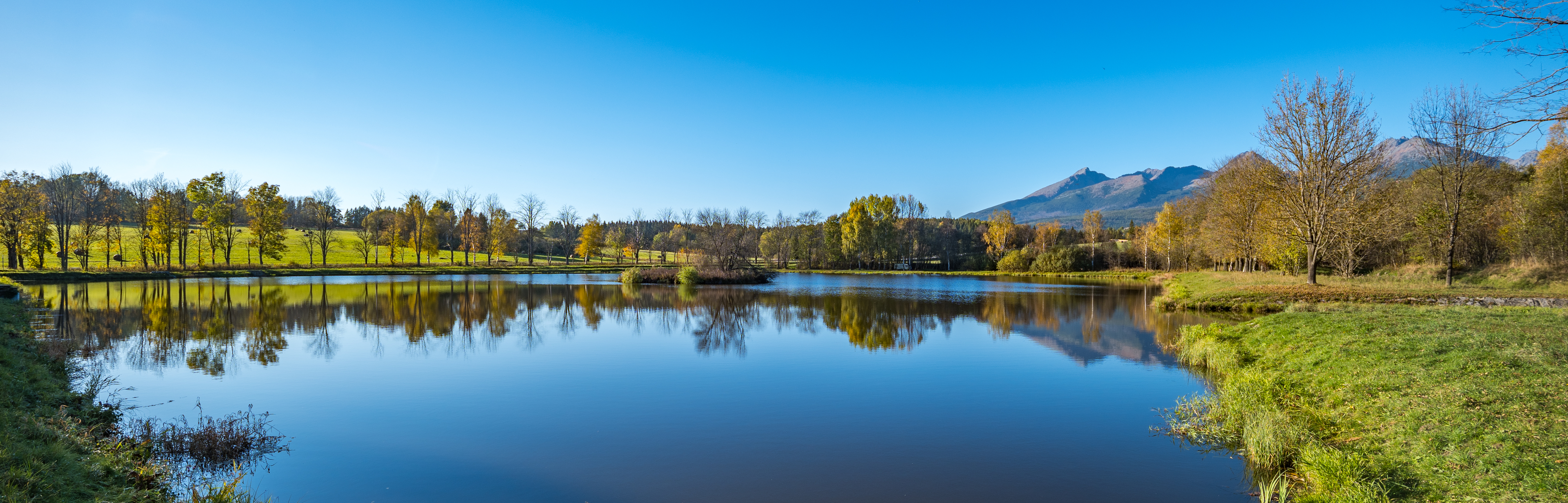
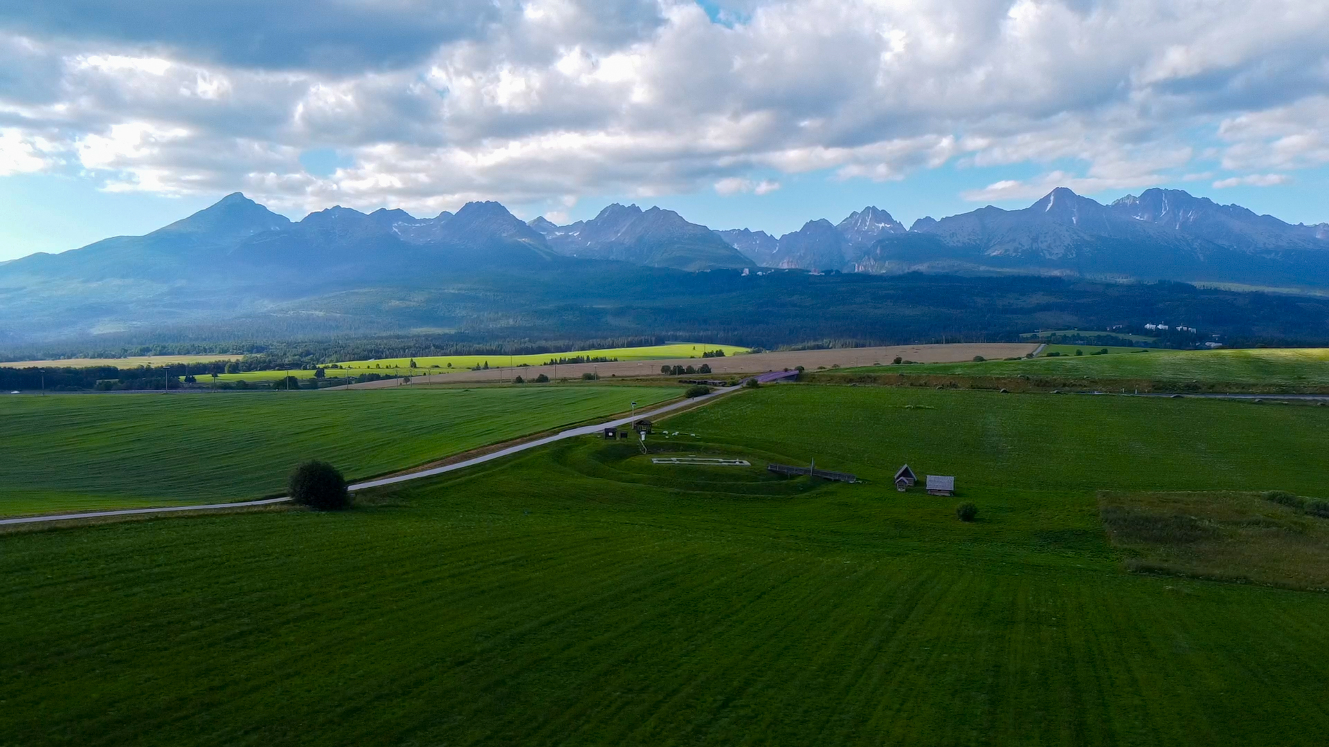

Explore the region in your running shoes
The Tatra Mountains offer a diverse network of running trails for both recreational and experienced runners—from easy trails in the foothills to challenging mountain loops with elevation gains and views that make every kilometer run well worth it.




Must-See Places. Discover them one by one
Every corner of the Tatra Mountains has its own story. Discover the places that shape the character of the region.




The Tatra Mountains wake up differently every day
Current conditions, upcoming events, and editorial recommendations. Everything you need to know before heading to the Tatras.

Webcams
Poprad
2°C
Mostly clear

Lomnický štít
-6°C
Overcast

Tatranská Lomnica
0°C
Mostly clear
Starý Smokovec
1°C
Mostly clear
Hrebienok
0°C
Mostly clear
Štrbské Pleso
1°C
Partly cloudy
Skalnaté pleso
-1°C
Overcast
Solisko
-1°C
Mostly clear


Everything You Need to Know Before Your Trip
Answers to the most frequently asked questions about the High Tatras region.