

Evening running route around Štrbské Pleso
Hotel Crocus – Lakes of Love – Sports Complex – Štrbské Pleso – Hotel Crocus



A short loop around Štrbské Pleso
An easy trail designed for the general public
Total ascent and descent along the route
A Run Amid the Evening Atmosphere of Štrbské Pleso
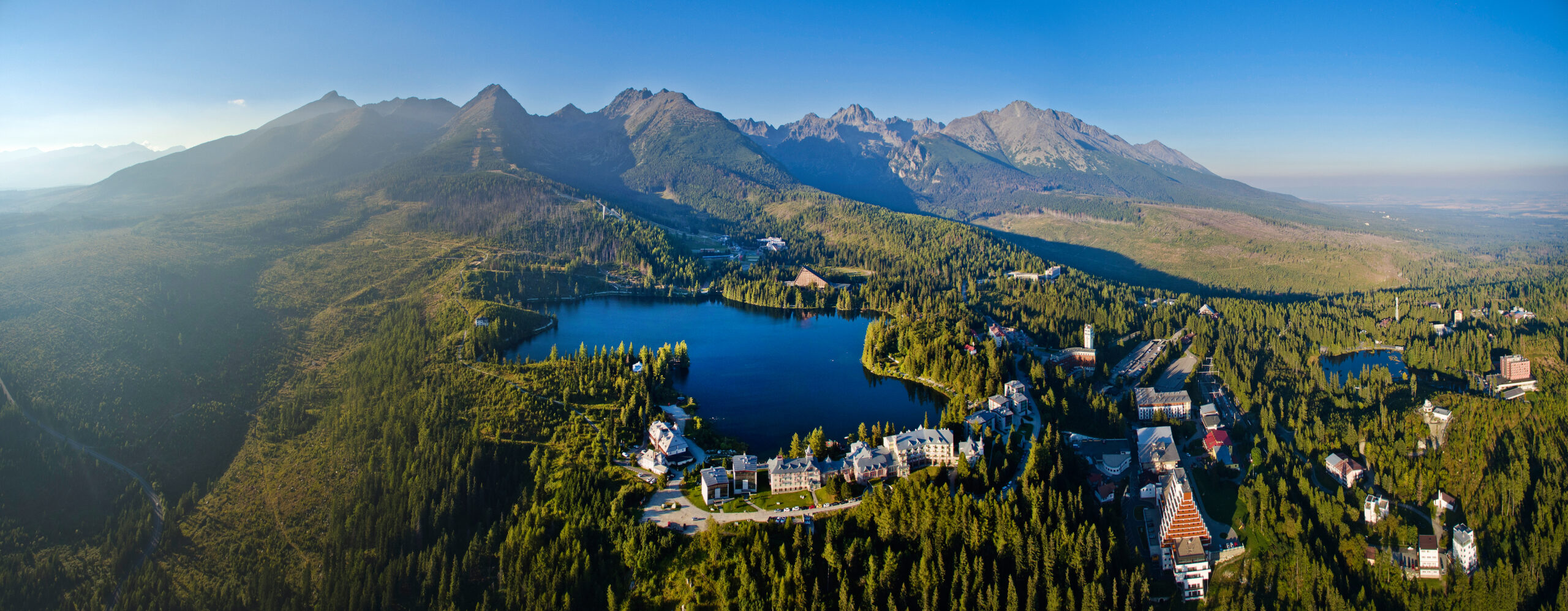
The Night Run is a short running loop that starts and finishes at the Crocus Hotel in Štrbské Pleso. The course winds through the built-up part of the village, the “Lakes of Love,” the sports complex, and the promenade around Štrbské Pleso. On the 4.5-kilometer course, runners will climb approximately 101 meters in elevation, making it an easy but slightly undulating loop.
What can you experience and see along the route?

Trasa a výškový profil
What do you need to know before you arrive?
Please read this before your visit
The course’s unique atmosphere is linked to the evening start. If you’re running on your own at dusk or after dark, be sure to wear a headlamp and reflective gear. Pay extra attention at intersections, shared sidewalks, and areas with pedestrian traffic.
The route combines paved roads and maintained trails. The lowest point is at an elevation of approximately 1,324 meters above sea level, and the highest point reaches 1,370 meters above sea level. The total elevation gain and loss is approximately 101 meters, so the profile is gently undulating without any long mountain climbs.
From the Lakes of Love to the Nighttime Surface of Štrbské Pleso
Elevation Profile
The track runs at an elevation ranging from approximately 1,324 to 1,370 meters above sea level. The difference between the lowest and highest points is 46 meters, but the circuit’s undulating terrain results in a total elevation gain and loss of approximately 101 meters.
The course profile is slightly undulating. After an initial descent toward Villa Kosodrevina, the route climbs alongside the Lakes of Love. Runners can expect additional, shorter elevation changes around the sports complex and on the return route from Štrbské Pleso to the Crocus Hotel.
Course Route
Start your run at the Crocus Hotel and continue along the paved road toward the Oliver apartment building. At the intersection, turn right and follow the sidewalk downhill to Villa Kosodrevina.
Before reaching the villa, turn left onto the paved road and continue uphill past the “Lakes of Love” toward the former Helios building. From there, the trail winds its way up to the main road leading to the sports complex.
Cross the main road via the former cross-country ski jump and continue along the path toward Koliba Patria and Štrbské Pleso. Run clockwise around the lake.
Before Koliba Patria, turn left onto the connecting path, which will take you back to the main trail. Follow it back to the starting point at the Crocus Hotel, where the 4.5-kilometer loop ends.

That's how it looks here. Take a look
Explore the region in your running shoes
The Tatra Mountains offer a diverse network of running trails for both recreational and experienced runners—from easy trails in the foothills to challenging mountain loops with elevation gains and views that make every kilometer run well worth it.




Must-See Places. Discover them one by one
Every corner of the Tatra Mountains has its own story. Discover the places that shape the character of the region.








The Tatra Mountains wake up differently every day
Current conditions, upcoming events, and editorial recommendations. Everything you need to know before heading to the Tatras.

Webcams
Poprad
-2°C
Clear

Lomnický štít
-11°C
Clear
Tatranská Lomnica
-3°C
Clear
Starý Smokovec
-2°C
Clear
Hrebienok
-3°C
Clear
Štrbské Pleso
-1°C
Clear
Skalnaté pleso
-2°C
Clear
Solisko
-2°C
Clear


Everything You Need to Know Before Your Trip
Answers to the most frequently asked questions about the High Tatras region.
