8866 – Stará Lesná – Veľká Lomnica
A peaceful bike route from Stará Lesná to Veľká Lomnica



Length of the one-way bike route
Even for recreational cyclists
Paved, gravel, and unpaved roads
More than 7 kilometers from the Tatra Mountains panorama to Veľká Lomnica
Yellow Bike Route No. 8866 connects Stará Lesná with Veľká Lomnica and offers a pleasant combination of panoramic views, peaceful country roads, and comfortable stretches through villages.
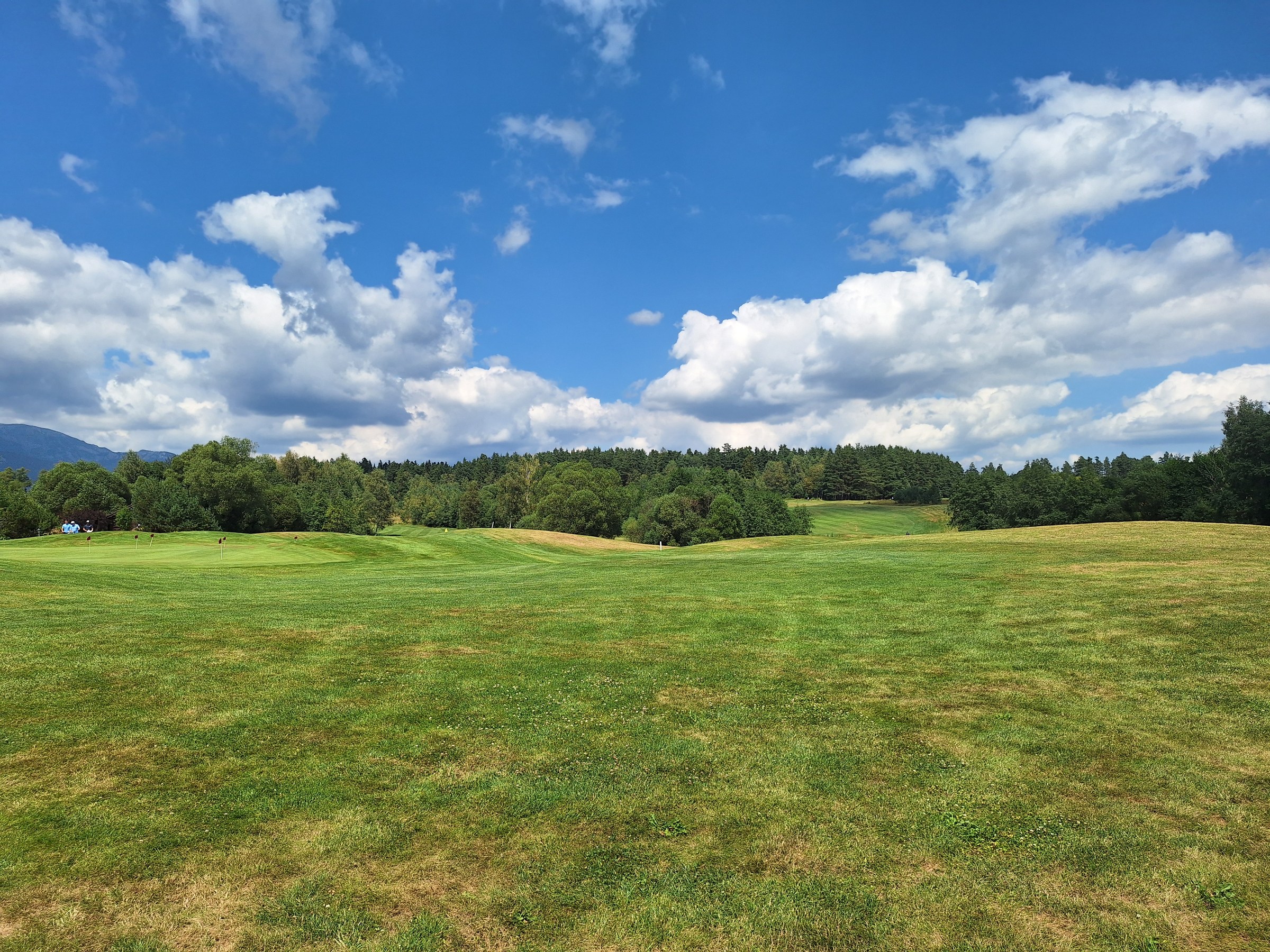
From Stará Lesná, it heads toward the Starolesnianska Lookout and then continues alongside the Black Stork Golf Course. Toward the end, it gradually descends to Veľká Lomnica, where it connects to other bike trails.
What can you experience and see along the route?

Trasa a výškový profil
What do you need to know before you arrive?
Please read this before your visit
The route has a mostly gentle and undulating profile. From Stará Lesná, it leads to the Starolesnianska Lookout, continues along dirt roads to the Black Stork complex, and then gradually descends to Veľká Lomnica. The surface of the unpaved sections requires particular caution.
In Veľká Lomnica, you can connect to other bike trails and continue toward Poprad or Kežmarok. You can also incorporate this route into a longer cycling loop through the region at the foot of the Tatra Mountains.
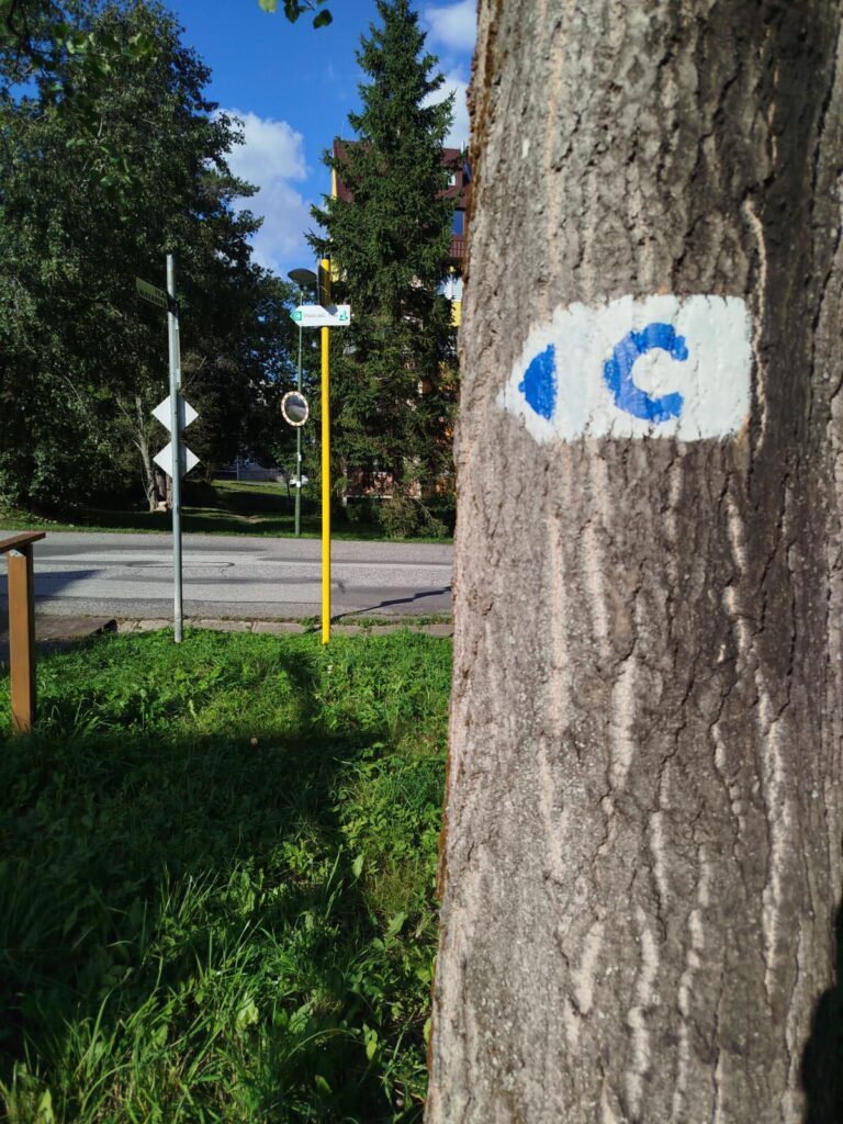
The route is marked with yellow bicycle sign No. 8866. At intersections of rural and local roads, pay close attention to the directional signs, especially near the golf course and at the entrance to Veľká Lomnica.
From the Tatra Mountains panorama to the peaceful foothills
Part of the route runs along unpaved dirt roads, the condition of which may vary depending on the weather. After rain, they may be soft, muddy, and more difficult to ride on. Before setting out, be sure to check the current conditions and choose a bike with appropriate tires.
Starolesnianska Lookout
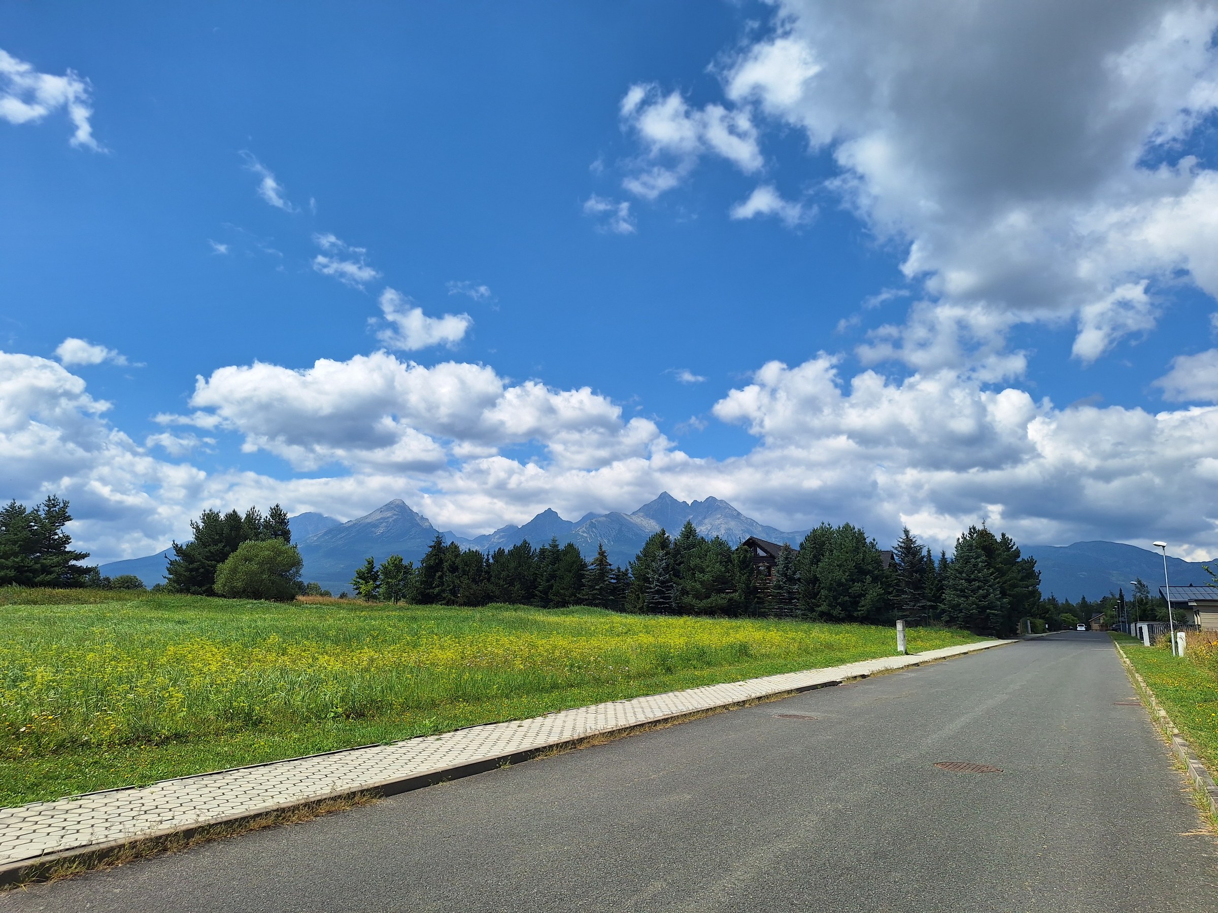
From Stará Lesná, the route heads toward the Starolesnianska Lookout, which offers unobstructed views of the High Tatras. It’s a great spot for a short break, some rest, and taking photos of the Tatra panorama.
Along Country Roads to Black Stork
From the lookout, the route continues along a quiet country road toward the Black Stork golf course. This section leads through the open landscape at the foot of the Tatras and offers unobstructed views of the surrounding meadows and mountain peaks.
Descent to Veľká Lomnica
Near the golf course, the route joins local roads and gradually descends to Veľká Lomnica. The surface is smoother in this section, making for a pleasant end to the trip.

Tak to u nás vyzerá. Pozrite sa

Explore the region on two wheels
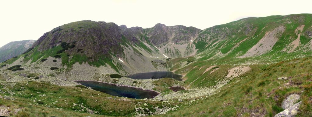
The Tatra Mountains offer an extensive network of bike trails for every type of cyclist—from easy trails in the foothills to challenging mountain loops with views that make every strenuous pedal stroke worthwhile.




Must-See Places. Discover them one by one
Every corner of the High Tatras has its own story. Discover the places that shape the character of the region.




The Tatra Mountains wake up differently every day
Current conditions, upcoming events, and editorial recommendations. Everything you need to know before heading to the Tatras.

Webcams
Poprad
2°C
Mostly clear

Lomnický štít
-6°C
Overcast

Tatranská Lomnica
0°C
Mostly clear
Starý Smokovec
1°C
Mostly clear
Hrebienok
0°C
Mostly clear
Štrbské Pleso
1°C
Partly cloudy
Skalnaté pleso
-1°C
Overcast
Solisko
-1°C
Mostly clear


Everything You Need to Know Before Your Trip
Answers to the most frequently asked questions about the High Tatras region.