

008 – Poprad Cycling Route
A leisurely bike trail with panoramic views of the Tatra Mountains



A flat route suitable for a hike
For families and recreational cyclists alike
Estimated travel time
From the center of Poprad all the way to the foot of the Lopušná Valley, with views of the Tatra peaks
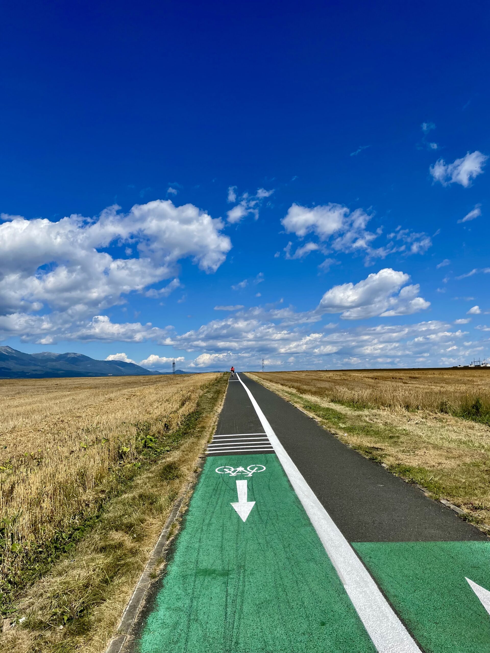
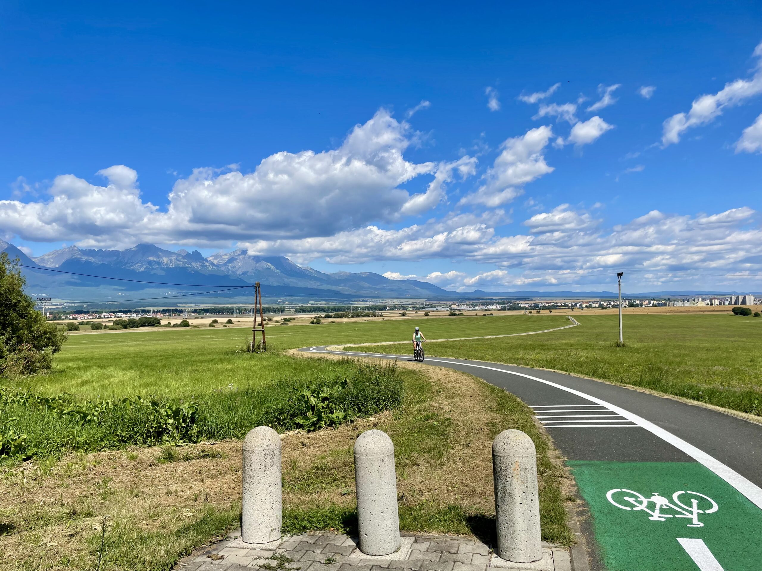
The Poprad Cycling Trail begins in downtown Poprad or at the parking lot next to the Tesco shopping center. It runs along the river, and once you leave the city, it offers sweeping views of the highest peaks of the High Tatras and the Kozie Chrbty mountain range.
The flat, paved bike path continues through Svit, where you’ll find places to rest and grab a bite to eat, and passes by the trailhead for the Baba Nature Trail. The route ends at the entrance to the Lopušná Valley, though you can continue onward toward Šuňava and Biely Potok.
What We Offer

Trasa a výškový profil
What do you need to know before you arrive?
Please read this before your visit
You can join the Poprad Cycling Route directly from downtown Poprad or from the parking lot next to the Tesco supermarket. The first section runs through the city and then continues along the river toward Svit.
The flat terrain and paved surface make for a comfortable ride without any technically challenging sections. The route is suitable for road and touring bikes, families with children, and recreational cyclists.
There are several snack bars and rest areas located at the entrance to the town of Svit. Before continuing on to Lopušná Valley, you can stock up on supplies or plan a break here.
More than 25 kilometers of leisurely driving with panoramic views of the Tatra Mountains
The Poprad Cycle Route 008 offers an easy connection between Poprad, Svit, and the entrance to the Lopušná Valley. The route leads from the city along the river and gradually opens up into the countryside, offering views of the highest peaks of the High Tatras.
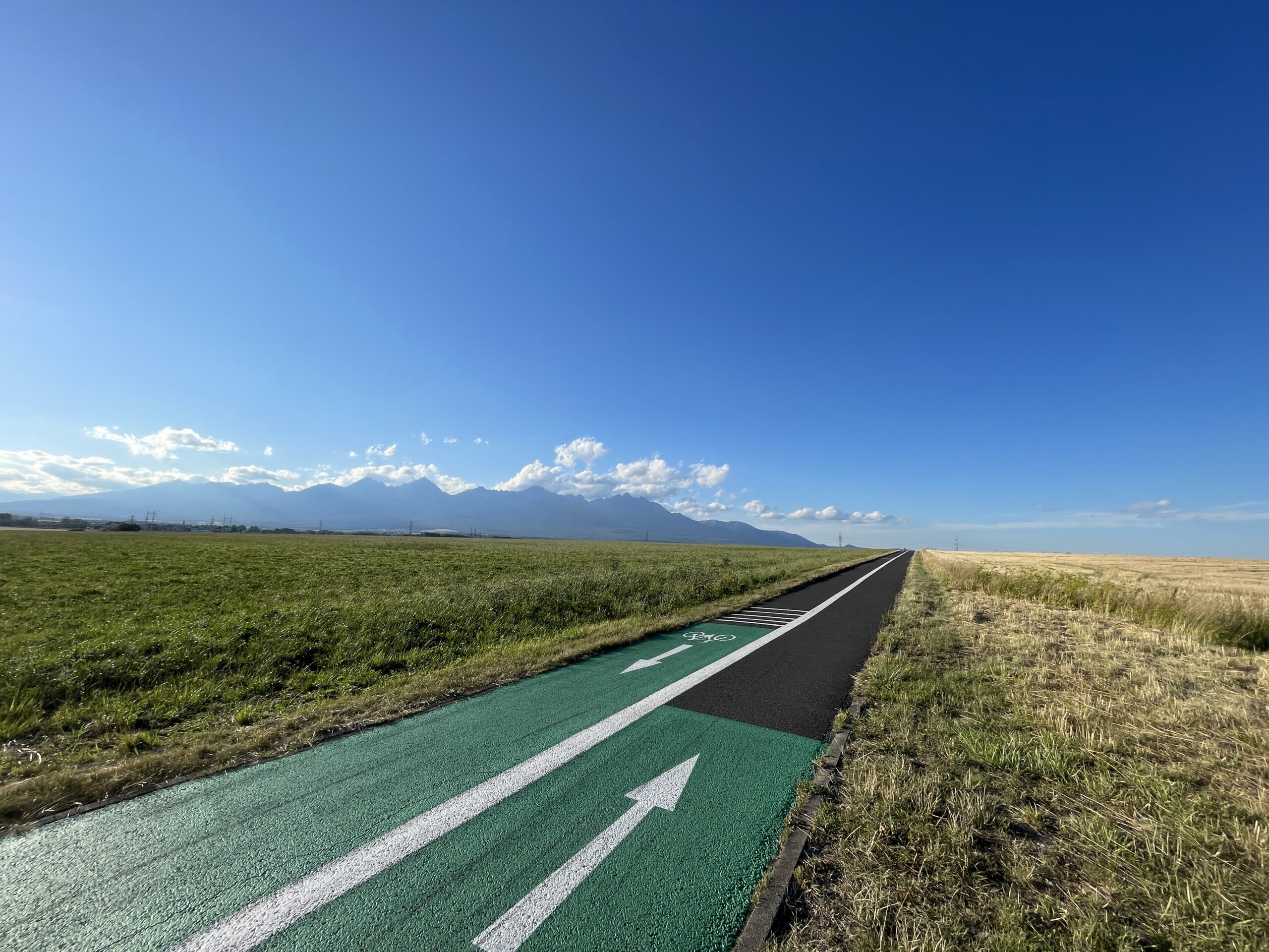
After passing the Tatry shopping center, cyclists are greeted by a striking panorama of the Tatra Mountains. On the opposite side, you can see the Kozie chrbty, whose ridge separates the High Tatras from the Low Tatras.
A comfortable route profile
The bike path is mostly flat along its entire length and has a high-quality asphalt surface. Thanks to its gentle gradient, it is suitable for family outings, recreational rides, and leisurely bike trips without any challenging climbs.
Through Svit to the Lopušná Valley
The route continues through Svit, where there are snack bars and places to rest. It then passes by the trailhead for the Baba Nature Trail and ends at the entrance to the Lopušná Valley.
Options for Continuing
From the endpoint, you can continue on other bike trails toward the village of Šuňava and Biely Potok. This way, you can adjust the length of your trip based on your fitness level and the time you have available.
Route Markings
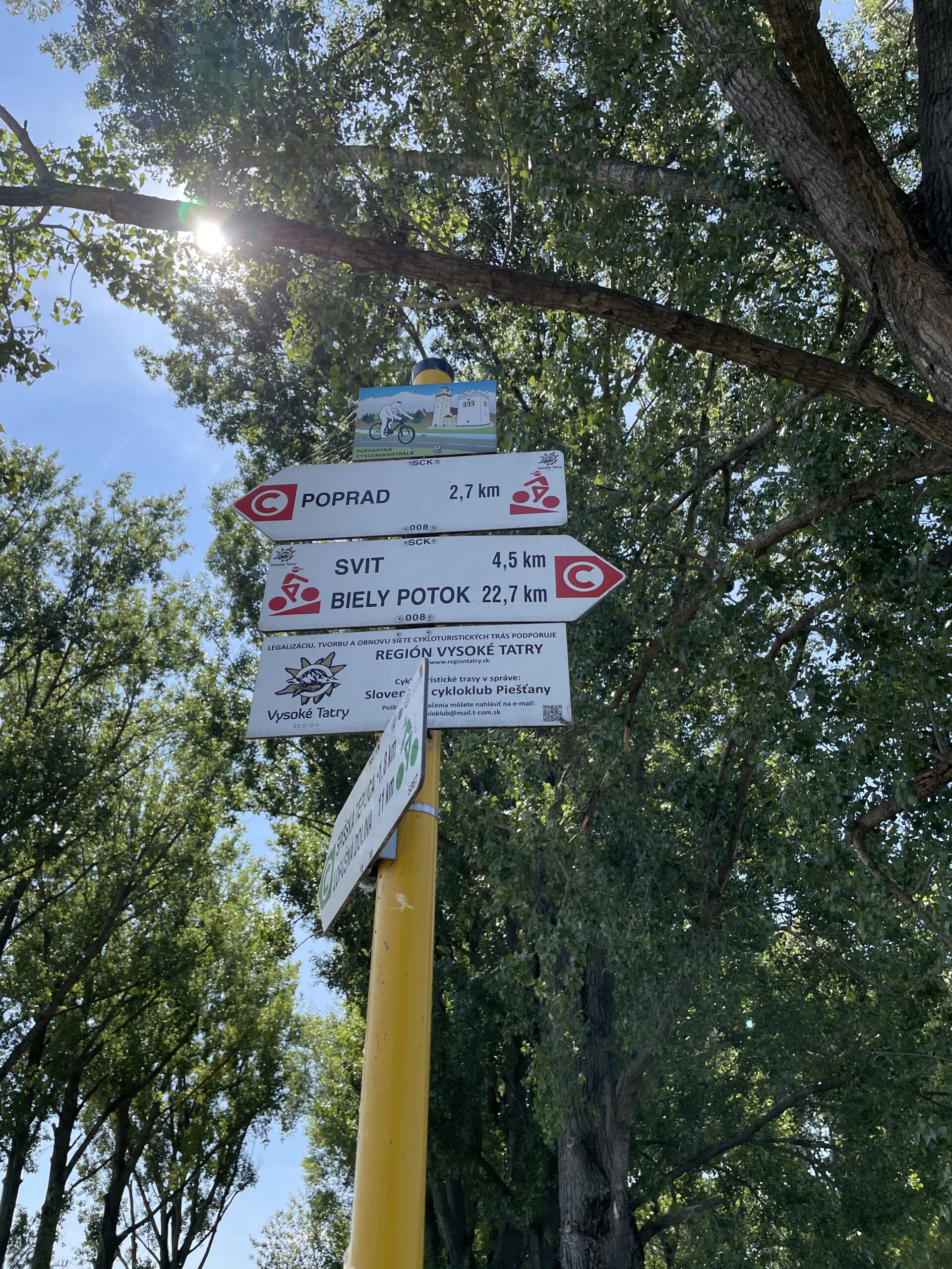
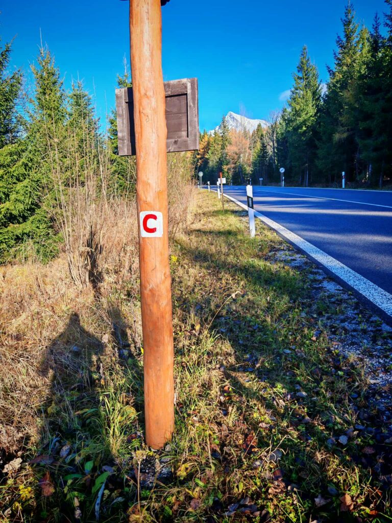
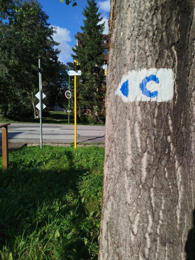
The Poprad Bike Trail is marked with a red “C” symbol. At intersections and when riding through city neighborhoods, follow the bike signs and adjust your riding to the surrounding traffic.

Tak to u nás vyzerá. Pozrite sa
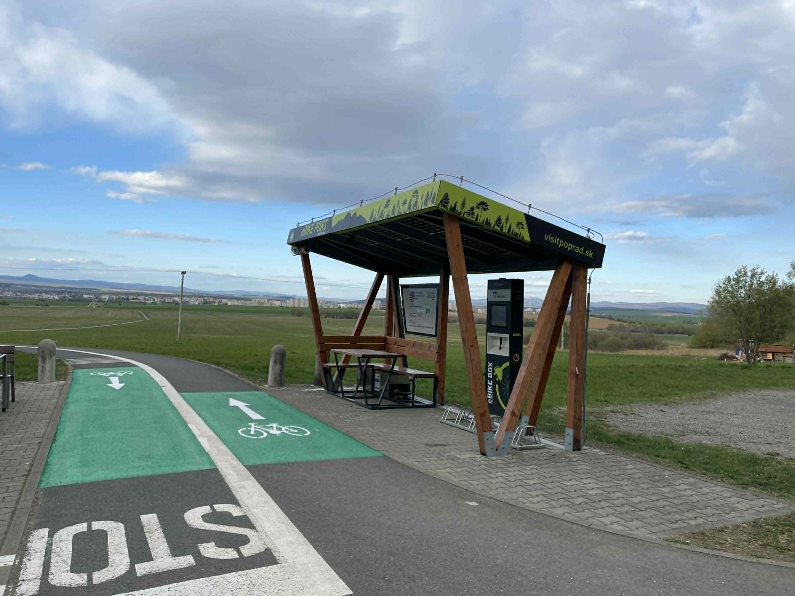
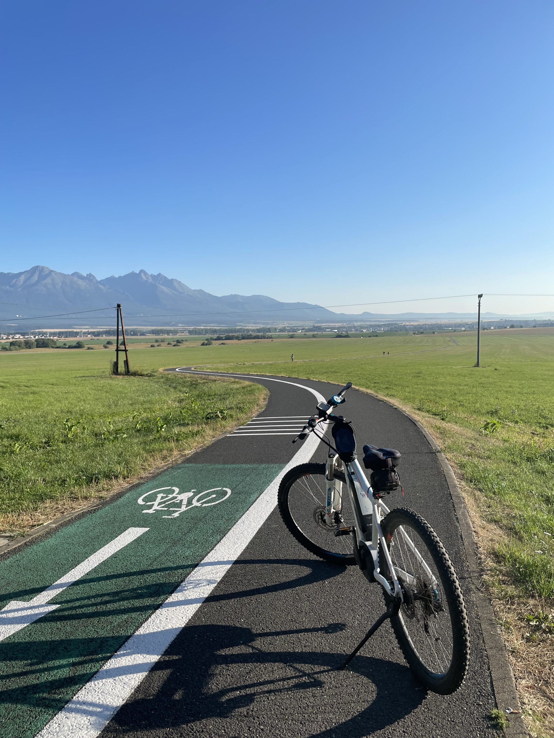
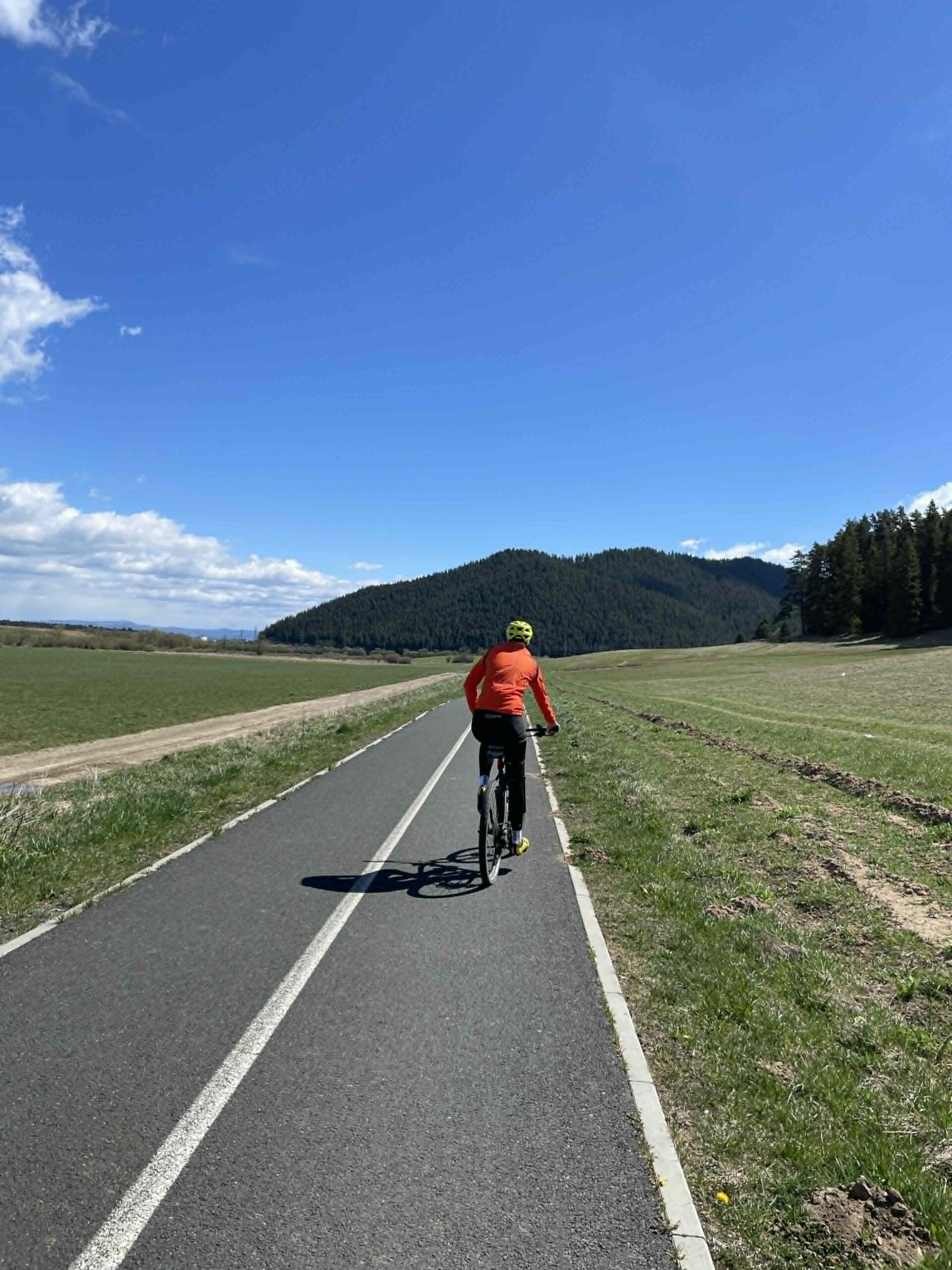
Explore the region on two wheels
The Tatra Mountains offer an extensive network of bike trails for every type of cyclist—from easy trails in the foothills to challenging mountain loops with views that make every strenuous pedal stroke worthwhile.




Must-See Places. Discover them one by one
Every corner of the High Tatras has its own story. Discover the places that shape the character of the region.








The Tatra Mountains wake up differently every day
Current conditions, upcoming events, and editorial recommendations. Everything you need to know before heading to the Tatras.

Webcams
Poprad
-3°C
Clear

Lomnický štít
-12°C
Clear
Tatranská Lomnica
-3°C
Clear
Starý Smokovec
-2°C
Clear
Hrebienok
-3°C
Clear
Štrbské Pleso
-2°C
Clear
Skalnaté pleso
-3°C
Clear
Solisko
-2°C
Clear


Everything You Need to Know Before Your Trip
Answers to the most frequently asked questions about the High Tatras region.
