PROFI Mountain Loop via Skalnaté Pleso and Malá Svišťovka
Tatranská Lomnica – Starolesnianska Meadow – Zamkovský Hut – Skalnaté Lake – Malá Svišťovka – Kovaľčíkova Meadow – Start – Tatranská Lomnica



A long mountain loop for competitive runners
A physically demanding route with significant elevation gain
Estimated time to complete the entire course
A Challenge Through the Tatra Forests and High-Altitude Trails
The PROFI course is intended for experienced trail runners with good endurance, confident movement on technical terrain, and the ability to respond independently to changes in weather. From Tatranská Lomnica, the route climbs through the Starolesnianska meadow and past Zamkovský Chalet up to Skalnaté Pleso, which lies at an elevation of 1,751 meters above sea level. The section between Zamkovský Chalet and Skalnaté Pleso follows the rocky Tatra Main Trail.
From Skalnaté Pleso, the trail continues to the Malá Svišťovka area, from where it descends through forested terrain to Kovaľčíkova Poľana. After returning to the main trail, it heads toward the Štart intermediate station and then back to Tatranská Lomnica. Although the ascent is mostly gradual, there is an elevation gain of approximately 900 meters between Tatranská Lomnica and Skalnaté Pleso, so the trail cannot be considered easy.
What can you experience and see along the route?

Trasa a výškový profil
What do you need to know before you arrive?
Please read this before your visit
The 21-kilometer length, combined with the mountainous terrain and the high point near Skalnaté Pleso, makes this loop a challenging course. Runners should have experience with long trail runs, pacing themselves properly, replenishing energy, and navigating independently in a mountainous environment.
The route alternates between forest trails, rocky sections of the Tatra Highway, and descending trails in the vicinity of Malá Svišťovka. The official description of the hike from Tatranská Lomnica notes that the elevation gain on the hike to Skalnaté Pleso is steep, and full winter gear is required in winter.
The marked trail from Skalnaté pleso continues through the Malá Svišťovka area toward Štart. Kovaľčíkova poľana is located on a short connecting trail approximately 0.6 km from the trail junction below Malá Svišťovka. To follow the route in the order provided, you must therefore descend to Kovaľčíkova poľana, return to the main trail, and then continue toward Štart.
A long mountain loop with its highest point near Skalnaté Pleso
Elevation Profile
Tatranská Lomnica lies at an elevation of approximately 850 meters above sea level, Zamkovský Chalet at 1,475 meters above sea level, and Skalnaté Pleso at 1,751 meters above sea level. There is therefore an elevation difference of approximately 901 meters between the starting point and the highest confirmed point on the course. This figure does not represent the total elevation gain, which will be higher due to the undulating nature of the course.
After reaching Skalnaté pleso, the route descends more steeply toward the Malá Svišťovka area, Kovaľčíkova poľana, and the Štart intermediate station. Štart is located at an elevation of approximately 1,173 meters above sea level, from where the final descent to Tatranská Lomnica continues.
Route
You’ll start the run in Tatranská Lomnica and head along a forest trail toward Starolesnianska Poľana. The initial section gradually gains elevation and follows mostly natural terrain alongside the Studený Creek and its waterfalls.
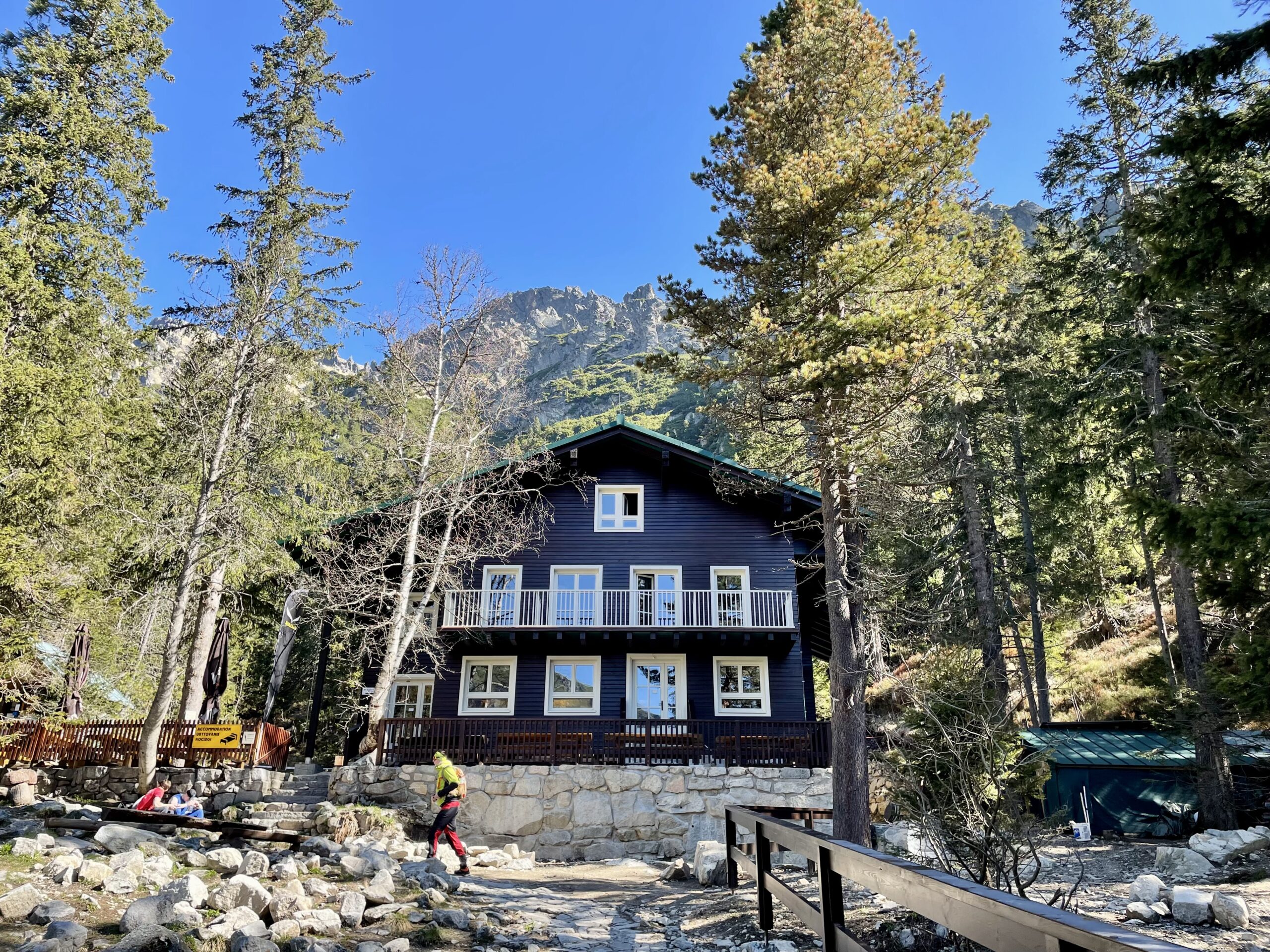
From Starolesnianska Poľana, continue past the Obrovský Waterfall to Zamkovský Chalet. The chalet is located at an elevation of 1,475 meters above sea level and is a good spot to quickly refill your water or grab a snack.
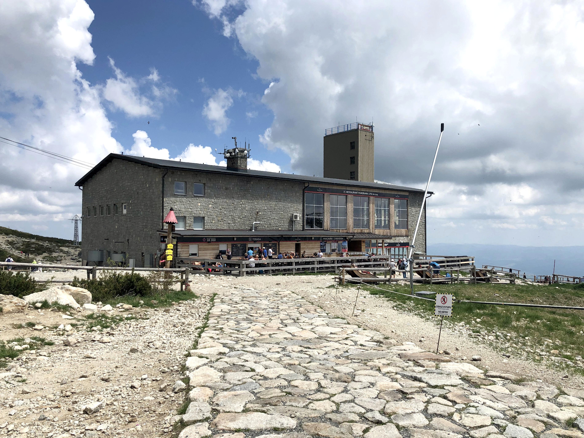
From Zamkovský Chalet, continue along the gently ascending but rocky trail of the Tatra Main Trail to Skalnaté pleso. The official description estimates this hiking section to take about one hour and characterizes it as a rocky trail.
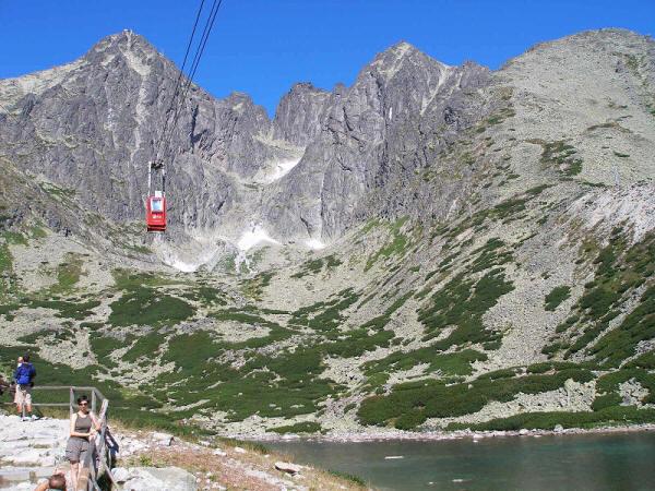
From Skalnaté pleso, descend along the blue-marked trail toward the Malá Svišťovka area. At the fork below Malá Svišťovka, turn toward Kovaľčíkova Poľana, and after returning to the main trail, continue toward the Štart intermediate station. The trails from Štart to Skalnaté pleso and from Kovaľčíkova poľana to the trail junction below Malá Svišťovka are listed among the official hiking trails.
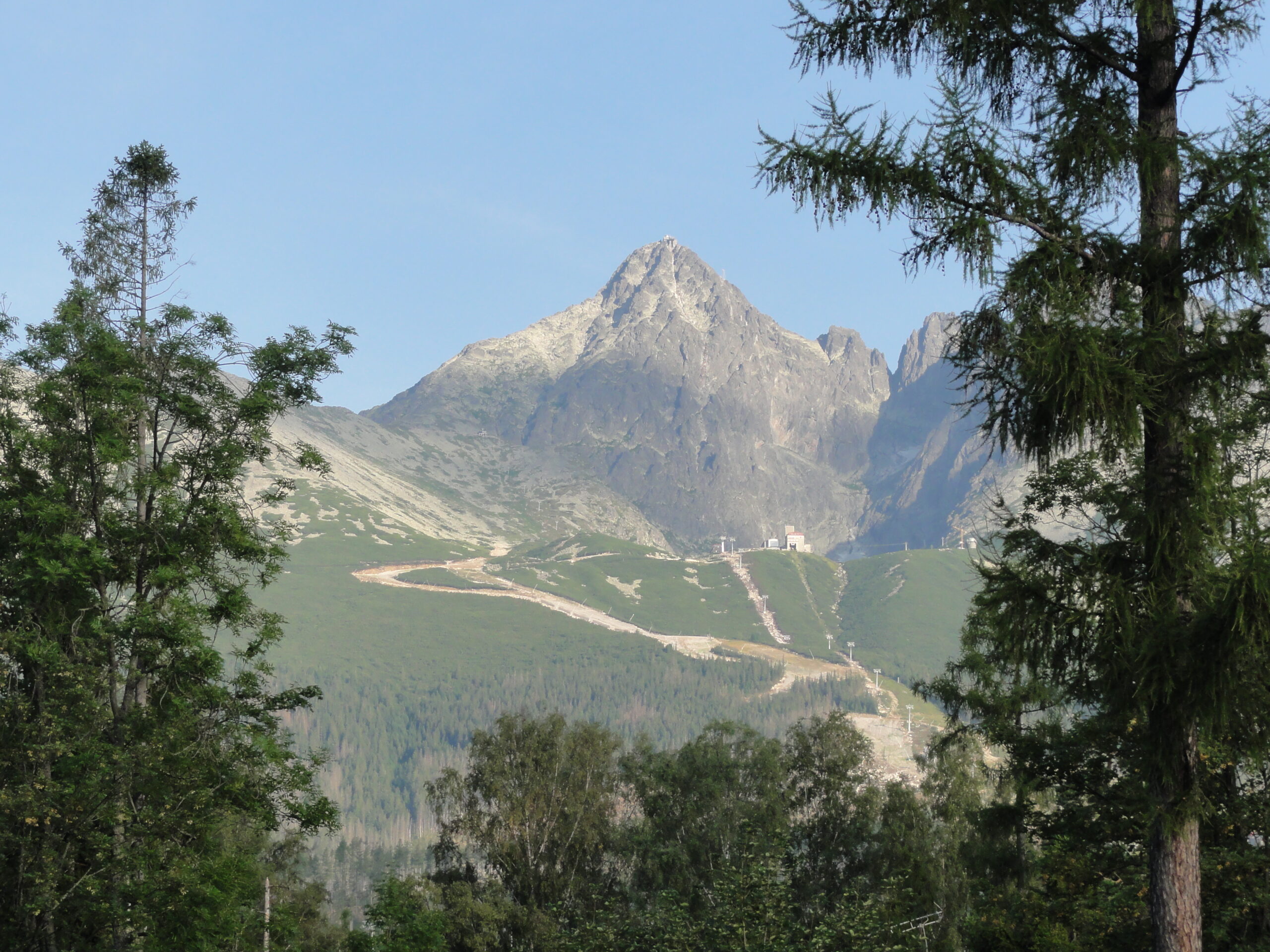
From the starting point, the route continues with a final descent along a forest trail to the cable car complex in Tatranská Lomnica, where the loop ends.
Stops along the route
Tatranská Lomnica – approximately 850 m above sea level
Starting and finishing point of the PROFI course
Starolesnianska Poľana
Important junction before continuing on to Zamkovský Chalet
Zamkovský Chalet – 1,475 m above sea level
Mountain chalet offering rest and refreshments
Skalnaté Pleso – 1,751 m above sea level
The highest confirmed point on the trail
Trail junction below Malá Svišťovka
Trail split toward Kovaľčíkova poľana and the Štart intermediate station
Kovaľčíkova poľana
Forest hiking junction on a short detour from the main trail
Štart – approximately 1,173 m above sea level
Cable car intermediate station and the start of the final descent

Tak to u nás vyzerá. Pozrite sa

Explore the region in your running shoes
The Tatra Mountains offer a diverse network of running trails for both recreational and experienced runners—from easy trails in the foothills to challenging mountain loops with elevation gains and views that make every kilometer run well worth it.




Must-See Places. Discover them one by one
Every corner of the Tatra Mountains has its own story. Discover the places that shape the character of the region.




The Tatra Mountains wake up differently every day
Current conditions, upcoming events, and editorial recommendations. Everything you need to know before heading to the Tatras.

Webcams
Poprad
2°C
Mostly clear

Lomnický štít
-6°C
Overcast

Tatranská Lomnica
0°C
Mostly clear
Starý Smokovec
1°C
Mostly clear
Hrebienok
0°C
Mostly clear
Štrbské Pleso
1°C
Partly cloudy
Skalnaté pleso
-1°C
Partly cloudy
Solisko
-1°C
Mostly clear


Everything You Need to Know Before Your Trip
Answers to the most frequently asked questions about the High Tatras region.