Sliezsky dom
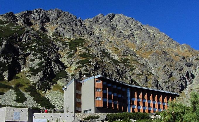
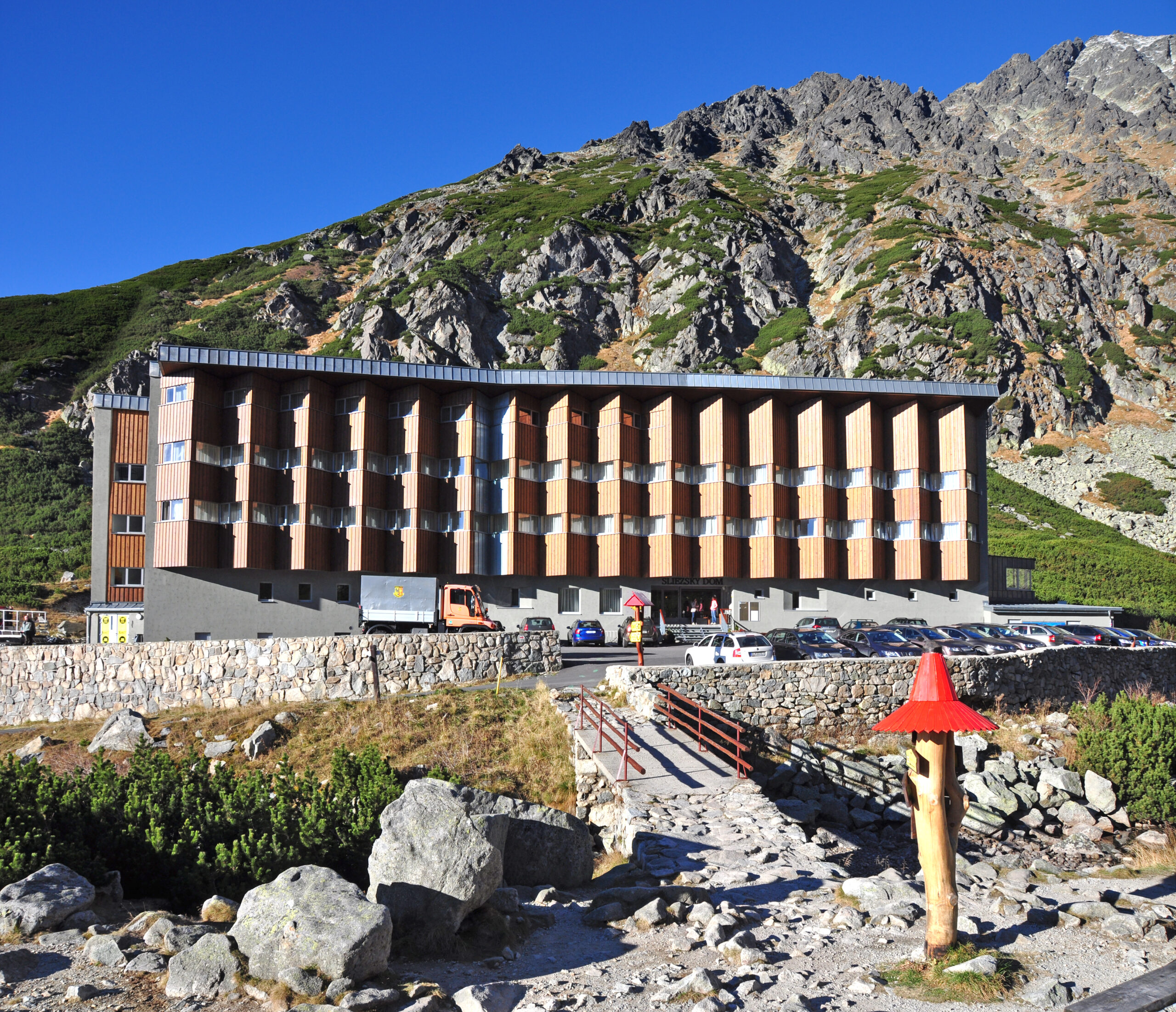
The highest-altitude mountain hotel in Slovakia




Length of a one-way route
A long and steep climb
Estimated time of ascent
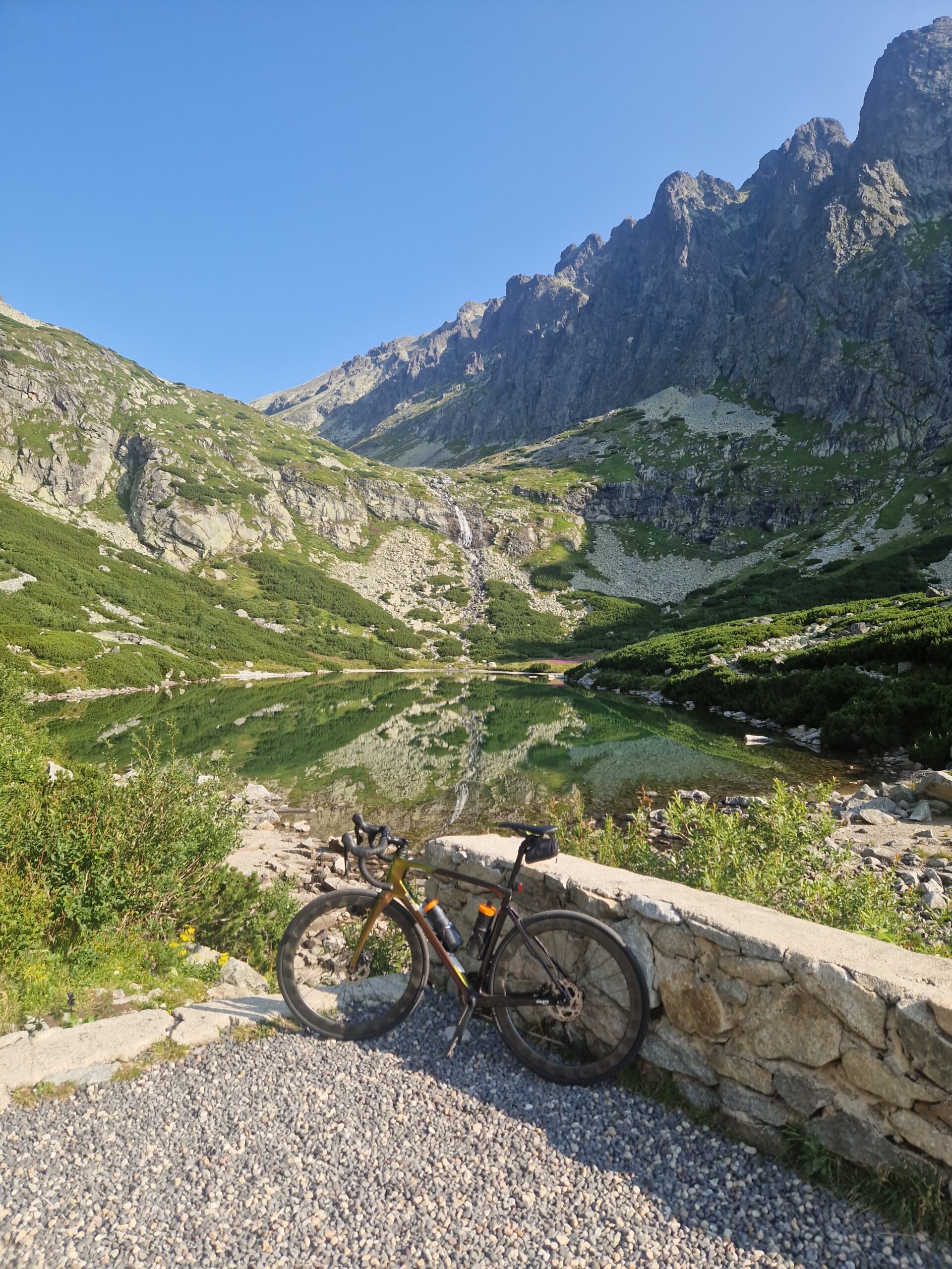
Along the paved road below Gerlachovský štít
The paved road leads from Tatranská Polianka through the forested landscape of the Velická Valley all the way to Sliezsky Dom. It climbs steadily along the entire route and, through numerous curves, gains approximately 670 meters in elevation.
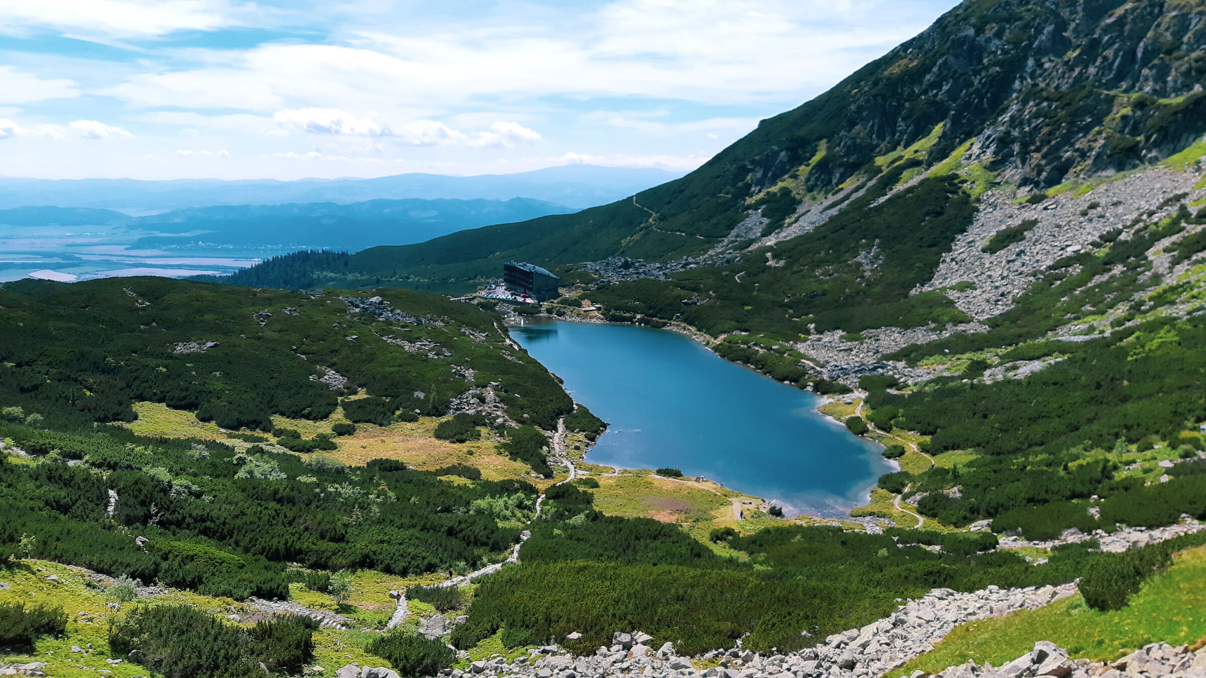
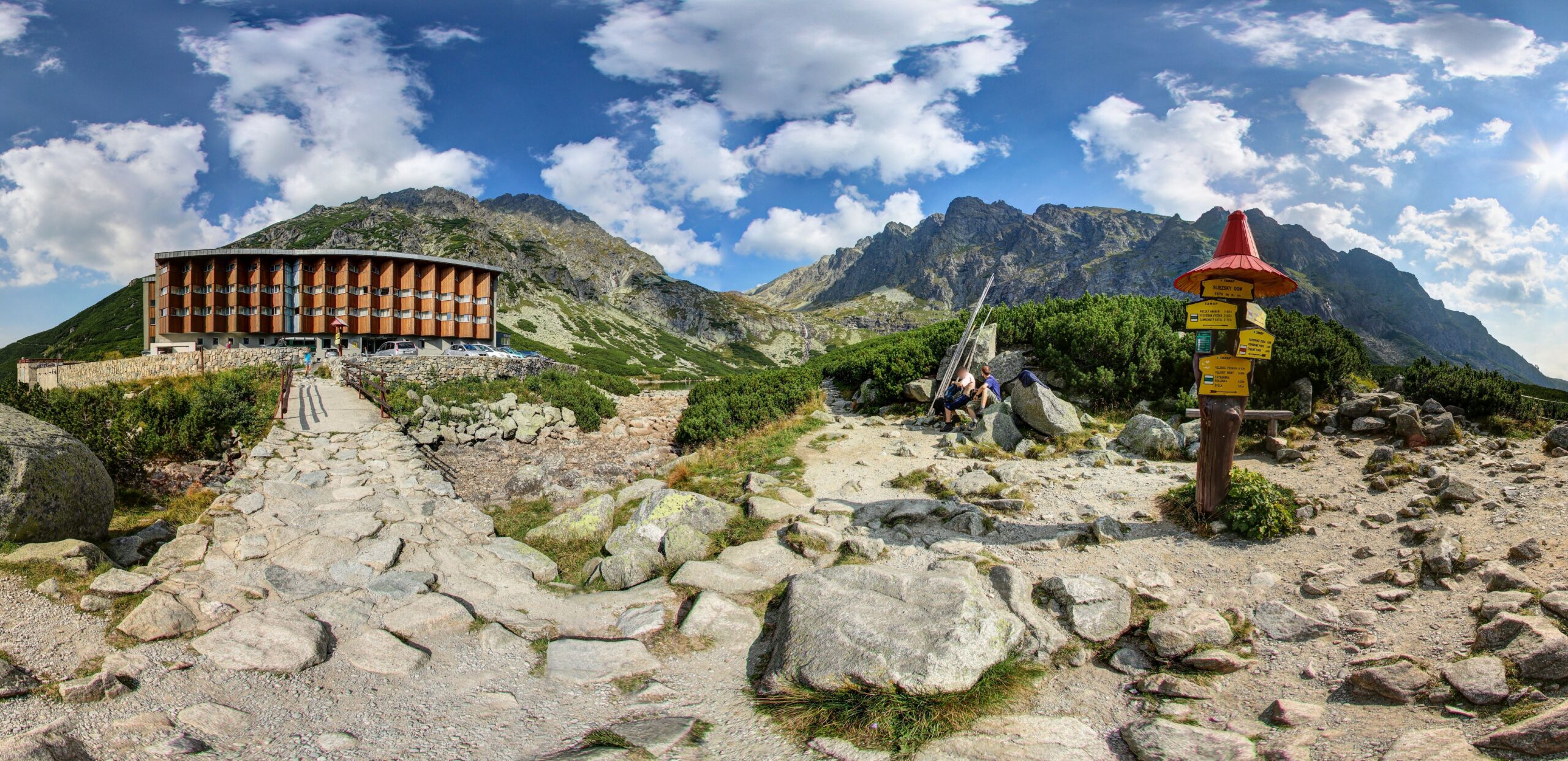
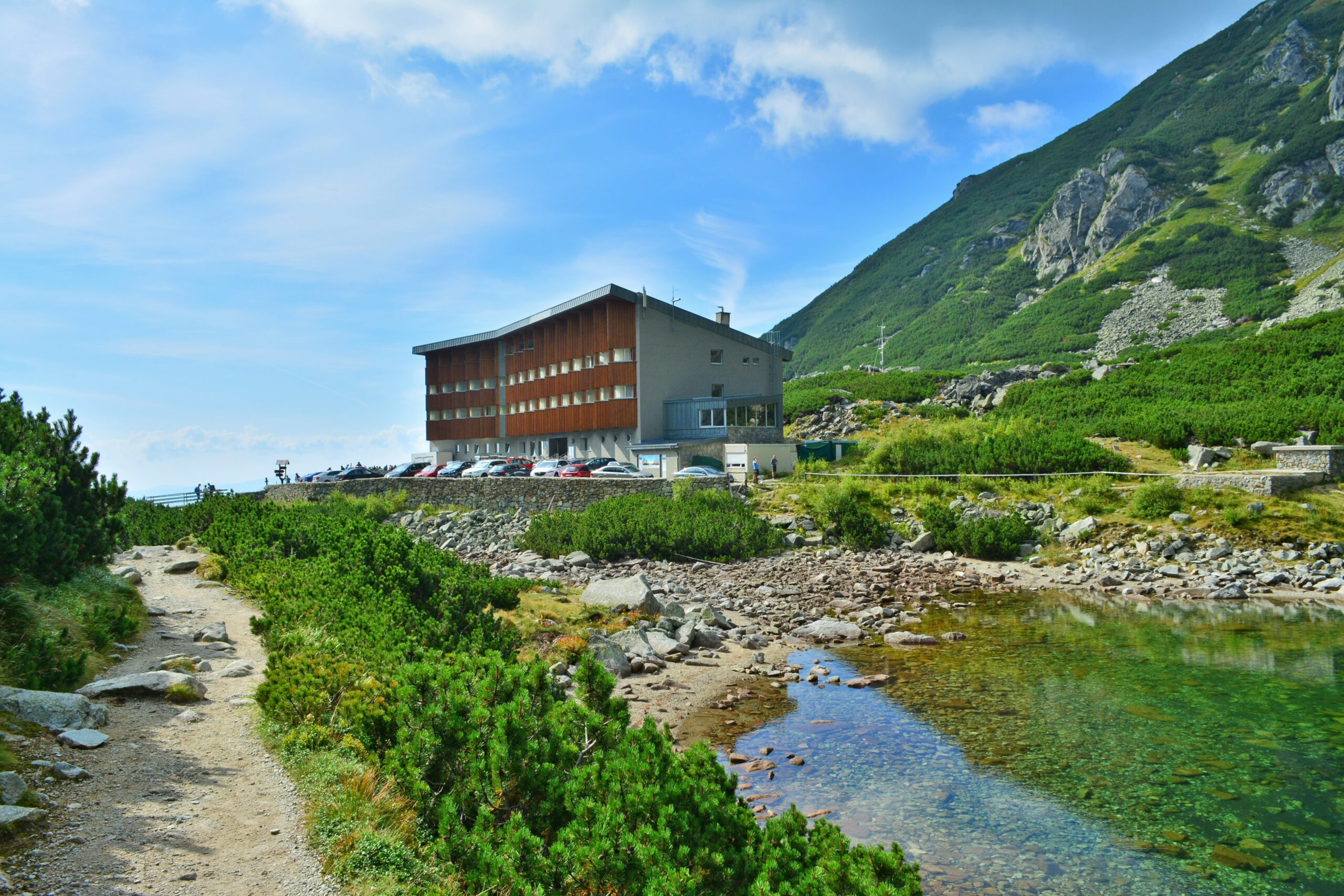
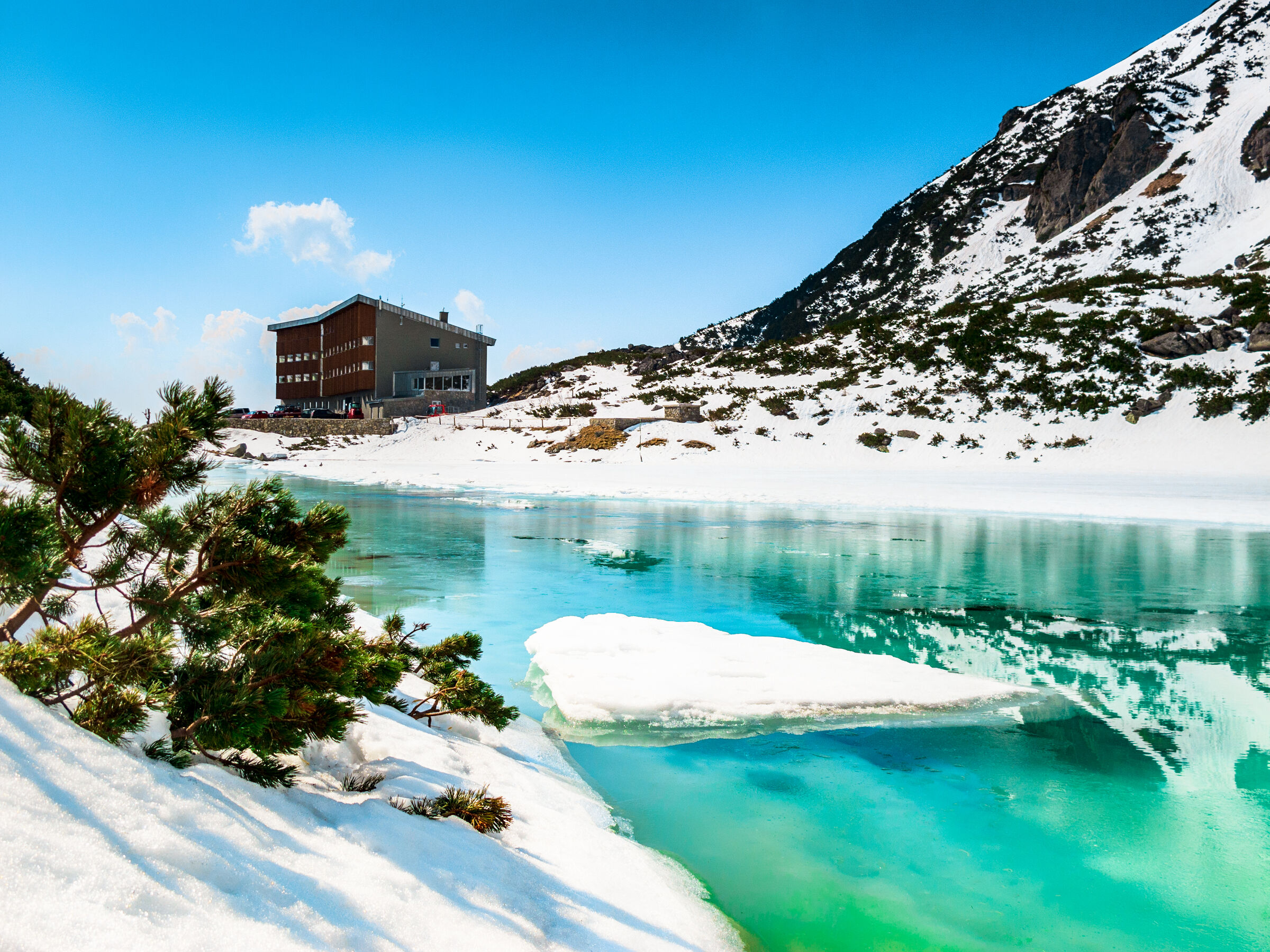
Toward the end, views open up of the surrounding Tatra peaks and the Gerlachovský štít massif. The destination is Sliezsky dom, located near Velické pleso, where you’ll find a restaurant, a snack bar, a terrace, and restrooms.
What can you experience and see along the route?

What do you need to know before you arrive?
Please read this before your visit
Despite the paved surface, this is no easy walk. The approximately 6.8-kilometer route covers an elevation gain of about 670 meters and climbs almost continuously.
The route is particularly suitable for high-quality sports strollers. For wheelchair users, it can be very challenging due to the significant elevation gain, length, and local unevenness; therefore, a physically fit companion is necessary.
The paved road also serves as a marked bike path. Cyclists, as well as delivery and hotel vehicles with permits, use this road, so stay close to the edge of the road and exercise extra caution, especially on curves.
From the Tatra Electric Railway stop in Tatranská Polianka, head toward the Poliankova building. From the main road, turn onto the paved road leading to Sliezsky Dom.
Beyond the ramp, the road continues through the forest and gradually gains elevation as it winds through numerous curves. The route intersects with the green-marked hiking trail in several places. However, those with strollers or wheelchairs should stay on the paved road.
Once you reach the tree line, views of the Velická Valley and the surrounding peaks open up. The trail ends at Sliezsky House and Velické Lake at an elevation of approximately 1,670 meters above sea level. The return trip follows the same paved road back to Tatranská Polianka.
Route Markings
Blue Bicycle Route No. 2865
Tatranská Polianka – Sliezsky Dom via the paved road
Green Hiking Trail Marker
The shorter walking trail crosses the paved road several times, but it is not suitable for strollers or wheelchairs
Return
Silesian House – Tatranská Polianka via the same paved road

Tak to u nás vyzerá. Pozrite sa

High-Altitude Hiking in the High Tatras
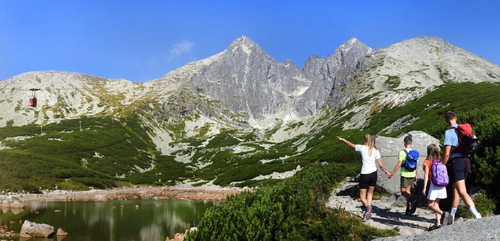
Challenging climbs to the Tatra peaks, exposed ridges, and views that reward every strenuous step—discover trails for experienced hikers seeking a true mountain challenge.




Must-See Places. Discover them one by one
Every corner of the Tatra Mountains has its own story. Discover the places that shape the character of the region.




The Tatra Mountains wake up differently every day
Current conditions, upcoming events, and editorial recommendations. Everything you need to know before heading to the Tatras.

Webcams
Poprad
3°C
Clear

Lomnický štít
-6°C
Clear
Tatranská Lomnica
1°C
Clear
Starý Smokovec
1°C
Clear
Hrebienok
0°C
Clear
Štrbské Pleso
1°C
Mostly clear

Skalnaté pleso
-1°C
Clear
Solisko
-2°C
Mostly clear


Everything You Need to Know Before Your Trip
Answers to the most frequently asked questions about the High Tatras region.