Hike to Veľká Svišťovka from Skalnaté Pleso
Skalnaté Pleso – Slovak Academy of Sciences Observatory – Sedlo pod Veľkou Svišťovkou – Veľká Svišťovka



Route Length
Difficulty
Estimated time of ascent
A short hike with sweeping views of the Tatra Mountains
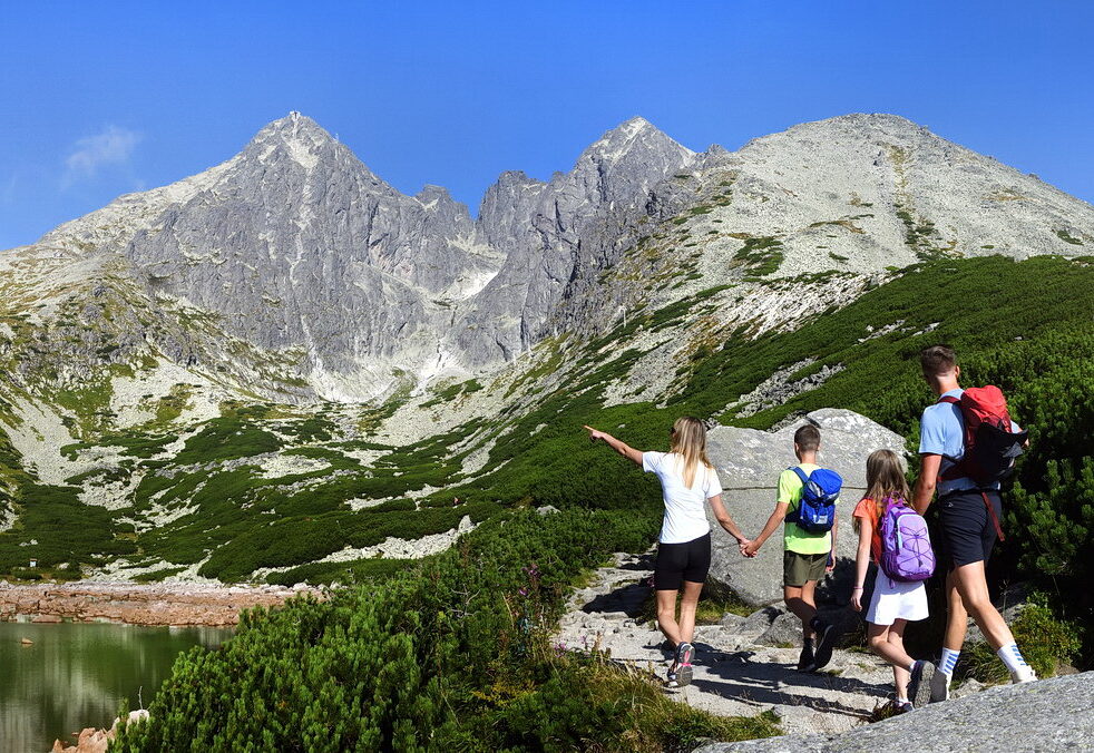
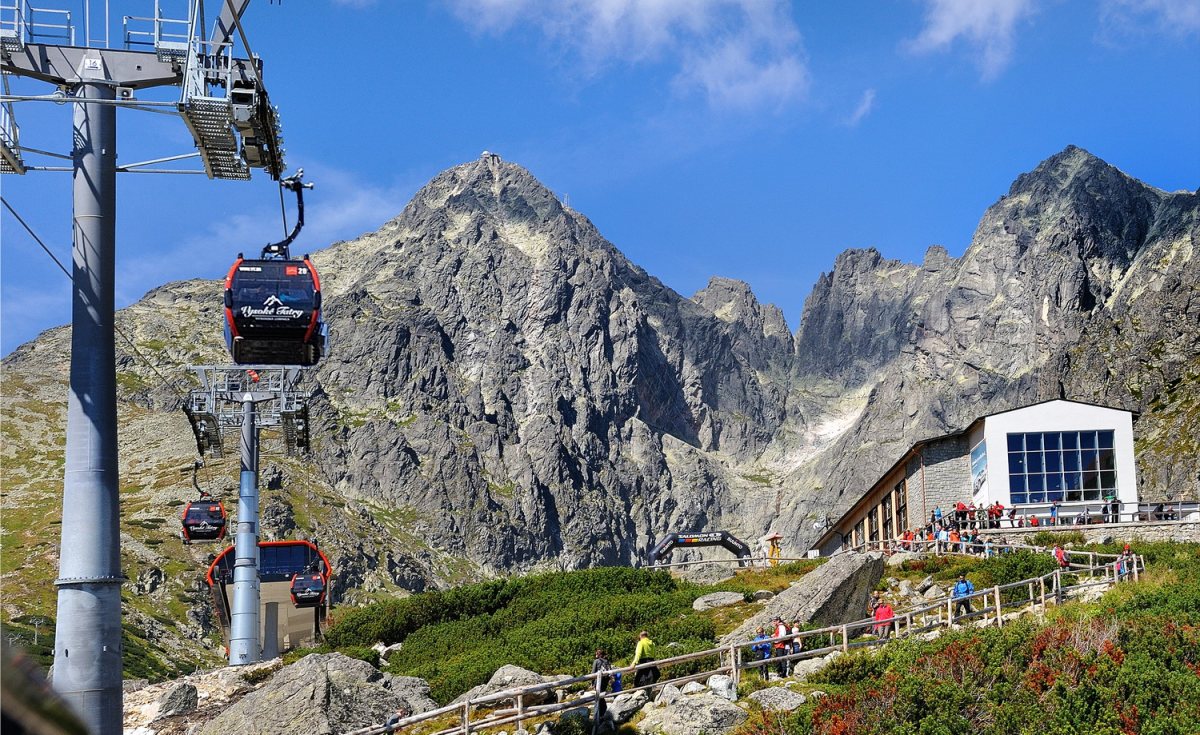
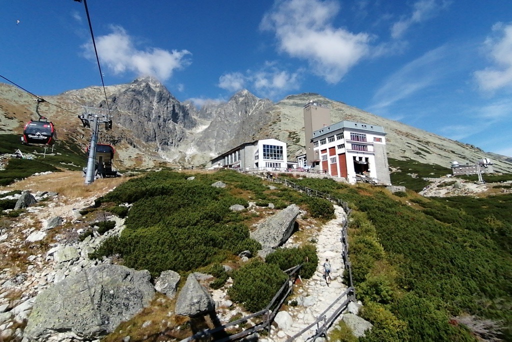
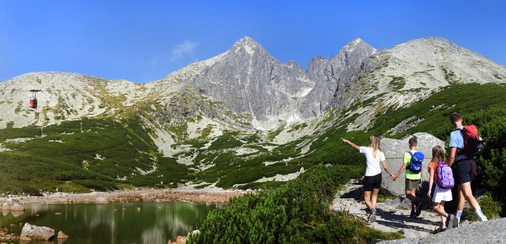
The trail begins at Skalnaté Pleso and the Slovak Academy of Sciences Observatory. Following the red-marked Tatra Main Trail, it ascends along a rocky path into the open landscape of the Skalnatá Valley. As you ascend, the views gradually open up to the Poprad Basin, the surrounding Tatra peaks, and the slopes below Huncovský Peak.
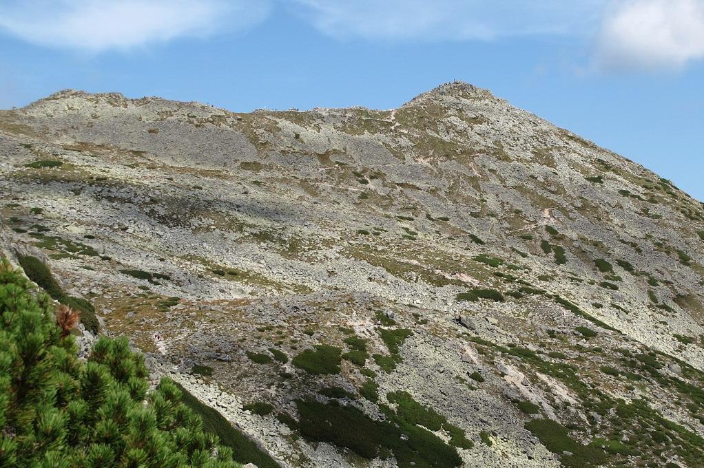
The destination of the marked trail is the saddle below Veľká Svišťovka, in the immediate vicinity of the summit. Veľká Svišťovka is a grassy, scree-covered peak at an elevation of 2,037 meters above sea level, around which the Tatra Main Trail runs between Skalnatá Valley and Zelené Pleso Valley. From Skalnaté Pleso, the more comfortable side of the Tatra Highway leads to the saddle, with no sections secured by chains.
What can you experience and see along the route?

Trasa a výškový profil
What do you need to know before you arrive?
Please read this before your visit
The red-marked trail from the Slovak Academy of Sciences Observatory to Sedlo pod Veľkou Svišťovkou is closed every year from November 1 through May 31 of the following year.
The official red hiking trail leads to Sedlo pod Veľkou Svišťovkou. Once in the area, follow the current trail markers and do not stray from the designated hiking trail.
The sections secured with chains are located further along the trail, as it continues from the Veľká Svišťovka area toward the Chata pri Zelenom plese mountain hut. This section is no longer part of the short ascent from Skalnaté pleso.
From Skalnatá Valley to the summit saddle
From Skalnaté pleso, at an elevation of approximately 1,751 meters above sea level, the trail first climbs steeply up an open, rocky slope. It then transitions into a longer traverse, offering views of the Poprad Basin and the lower parts of the Tatra Mountains.
Toward the end, the trail gains elevation again and heads toward Sedlo pod Veľkou Svišťovkou. Between Skalnaté pleso and the summit area, it climbs nearly 300 meters in elevation. The terrain remains mostly rocky, with no long sections requiring technical climbing on the side facing Skalnaté Pleso.
Signage and Wayfinding Along the Route
Red trail:
Skalnaté pleso – Hvezdáreň SAV – Sedlo pod Veľkou Svišťovkou.
Tatra Main Trail
The entire ascent follows a red-marked high-altitude trail.
Return from
nd Sedlo pod Veľkou Svišťovkou to Skalnaté pleso via the same route.
Key Points Along the Route
Rocky Lake
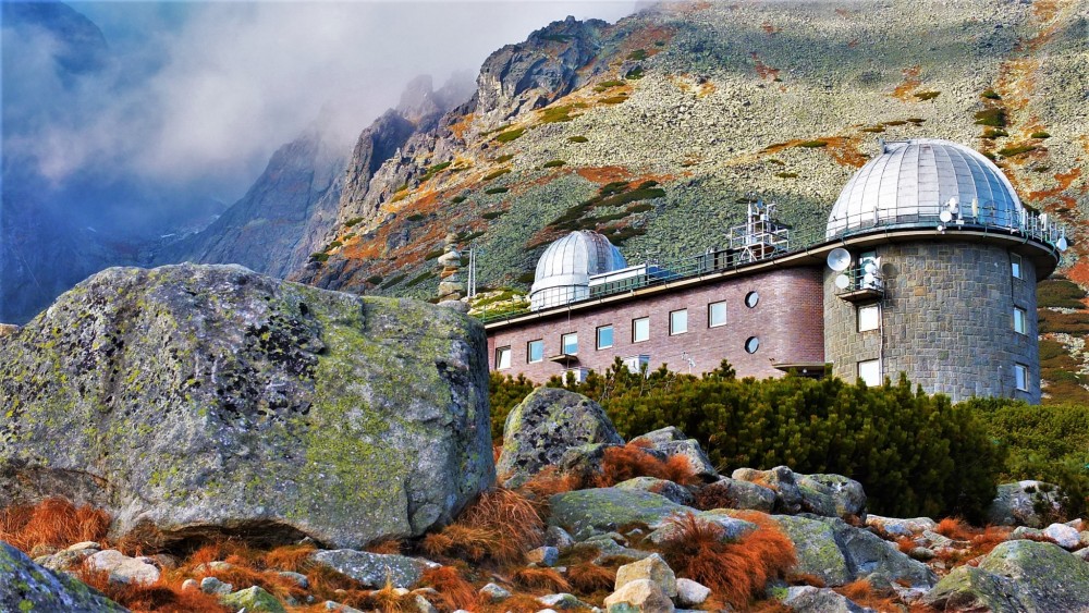
Slovak Academy of Sciences Observatory
Crossroads Below the Observatory
Skalnatá Valley
Tatra Highway
Saddle below Veľká Svišťovka
Veľká Svišťovka

That's how it looks here. Take a look
Set out to discover the beauty of the Tatra Mountains
Hiking trails will take you to mountain lakes, waterfalls, mountain huts, and the peaks of the Tatra Mountains. Choose from easy walks to more challenging hikes and discover the region’s beauty step by step.




Must-See Places. Discover them one by one
Every corner of the Tatra Mountains has its own story. Discover the places that shape the character of the region.




The Tatra Mountains wake up differently every day
Current conditions, upcoming events, and editorial recommendations. Everything you need to know before heading to the Tatras.

Webcams
Poprad
2°C
Clear

Lomnický štít
-5°C
Mostly clear

Tatranská Lomnica
0°C
Clear
Starý Smokovec
1°C
Clear
Hrebienok
0°C
Clear
Štrbské Pleso
1°C
Clear
Skalnaté pleso
0°C
Clear
Solisko
-1°C
Clear


Everything You Need to Know Before Your Trip
Answers to the most frequently asked questions about the High Tatras region.