Along the Tatra Main Trail to Velické Pleso
Hrebienok – Sliezsky House – Hrebienok



Round-trip distance
A rocky mountain hike
Return via the same route
Views of the foothills and relaxation at the foot of Gerlach
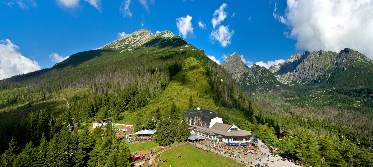
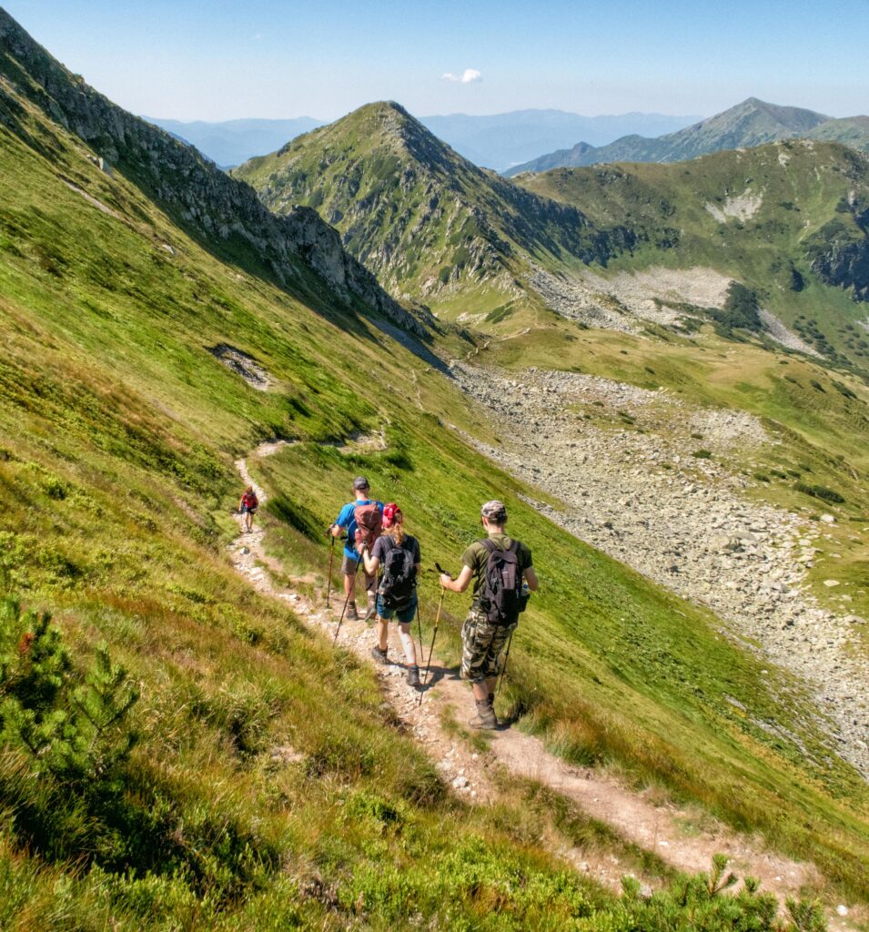
The trail from Hrebienok to Sliezsky Dom follows the red-marked Tatra Main Trail across the southern slopes of Slavkovský štít. The rocky trail alternates between ascents and descents, passing through forests, dwarf pine scrub, and open sections with views of the Poprad Basin. Despite the relatively modest elevation gain, the hike requires good physical conditioning and sturdy footwear.
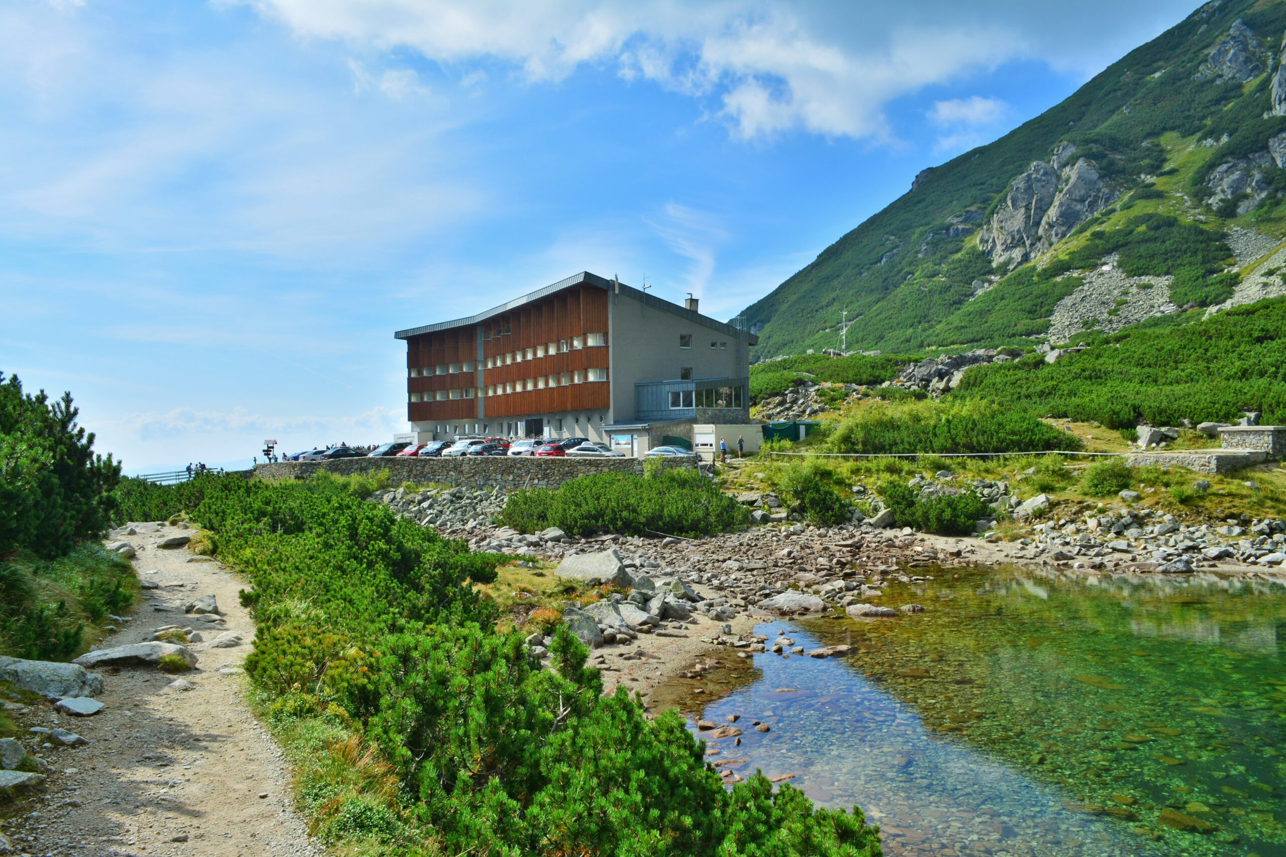
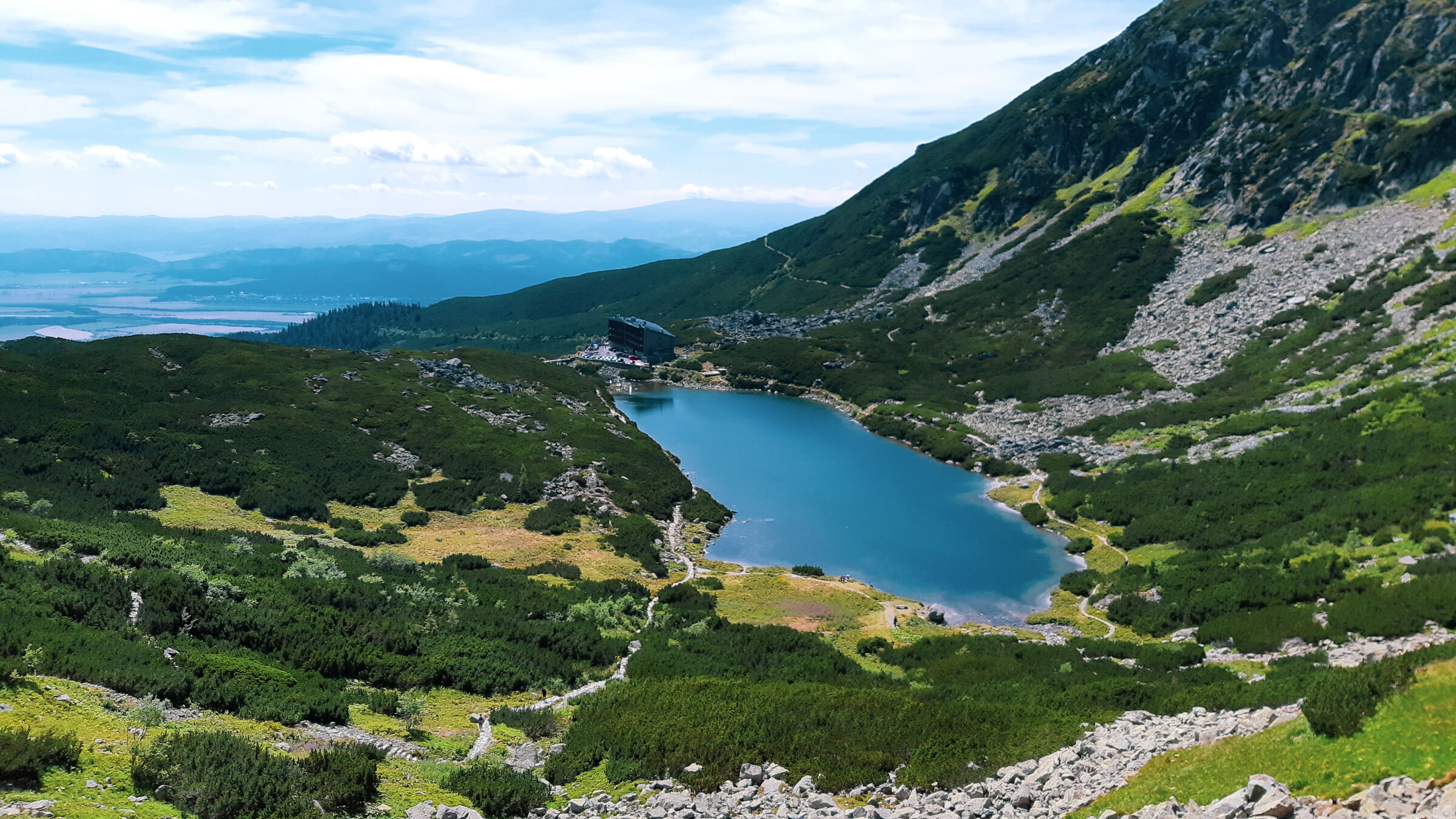
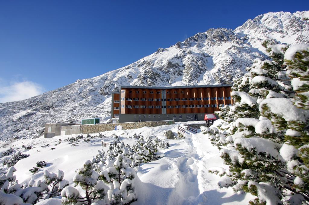
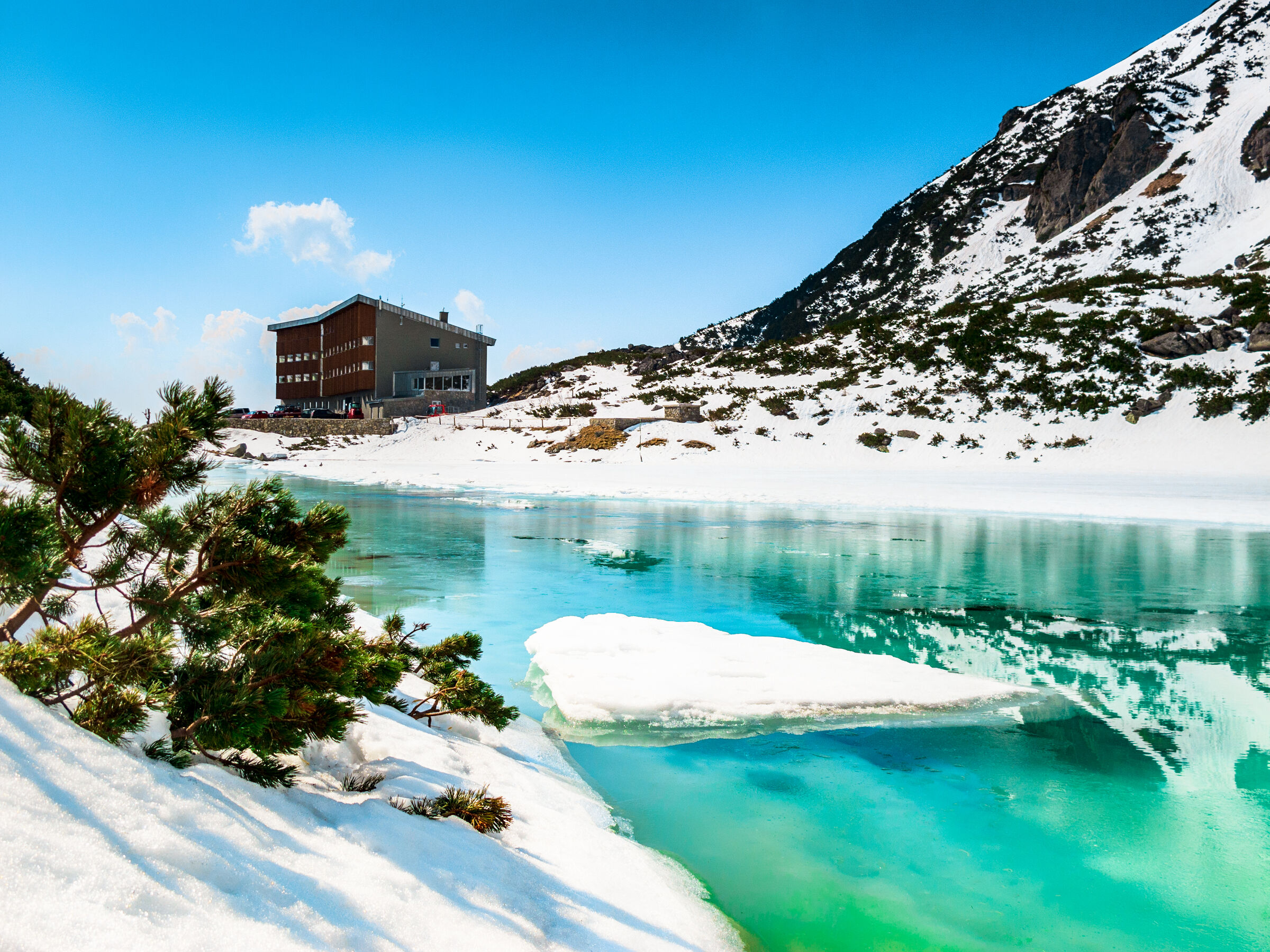
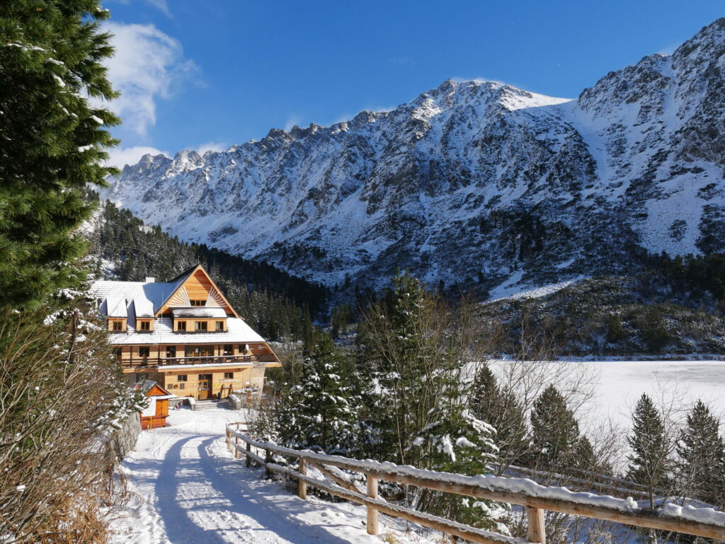
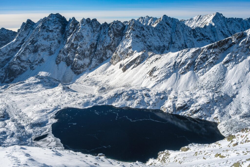
The destination is Sliezsky Dom, the highest-altitude mountain hotel with full-service facilities in Slovakia. It is located in the Velická Valley near Velické Pleso, directly below the Gerlachovský Peak massif. Visitors will find a restaurant, refreshments, a terrace, and a place to rest before heading back to Hrebienok. The estimated time for the ascent is approximately two hours; the descent takes about an hour and a quarter.
What can you experience and see along the route?

Trasa a výškový profil
What do you need to know before you arrive?
Please read this before your visit
The trail runs mostly along a rocky mountain path and is not suitable as an easy walk in regular athletic shoes. Although there are no chains or technically challenging sections, the trail narrows in places and can be difficult and dangerous in snow, ice, or heavy rain.
The Hrebienok–Sliezsky dom section is not subject to standard seasonal closures. During the winter, however, you should expect continuous snow cover, icy conditions, and more challenging navigation. Before setting out, always check the Mountain Rescue Service alerts and the current restrictions issued by TANAP.
A hike with a gradual ascent to the highest peak in Slovakia
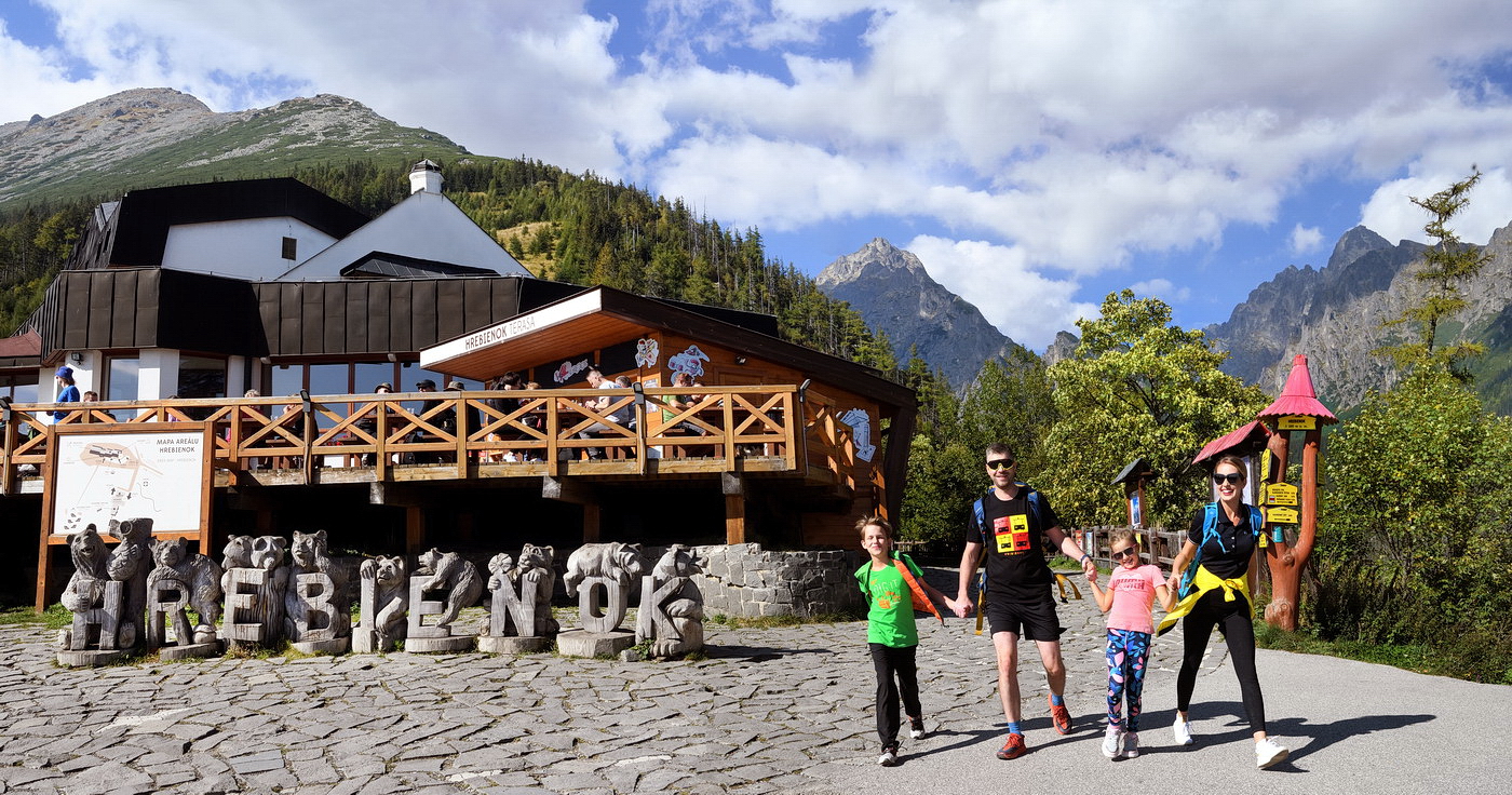
The trail begins at Hrebienok at an elevation of approximately 1,285 meters above sea level. The initial section leads through gently undulating terrain to the trail junction below Slavkovský štít. From there, the Tatra Main Trail continues westward through the forest and dwarf pine scrub, with views of the landscape beneath the Tatra Mountains gradually opening up.
The trail does not climb continuously. Several shorter ascents alternate with flatter sections and gentle descents. The highest point of the hike is the area around Sliezsky House and Velické Lake, at an elevation of approximately 1,670 meters above sea level. The return trip follows the same route, though extra caution is needed on wet rocks. The elevation difference between Hrebienok and the destination is approximately 385 meters.
Route Markings
Red trail
Hrebienok – Junction below Slavkovský štít
Approximately 1.4 km
Red trail
Crossroads below Slavkovský štít – Sliezsky dom
Approximately 4.8 km
Return route
Sliezsky dom–Hrebienok
. Same route, approximately 6.2 km
Checkpoints along the route
Hrebienok – 1,285 m above sea level
Crossroads below Slavkovský Peak
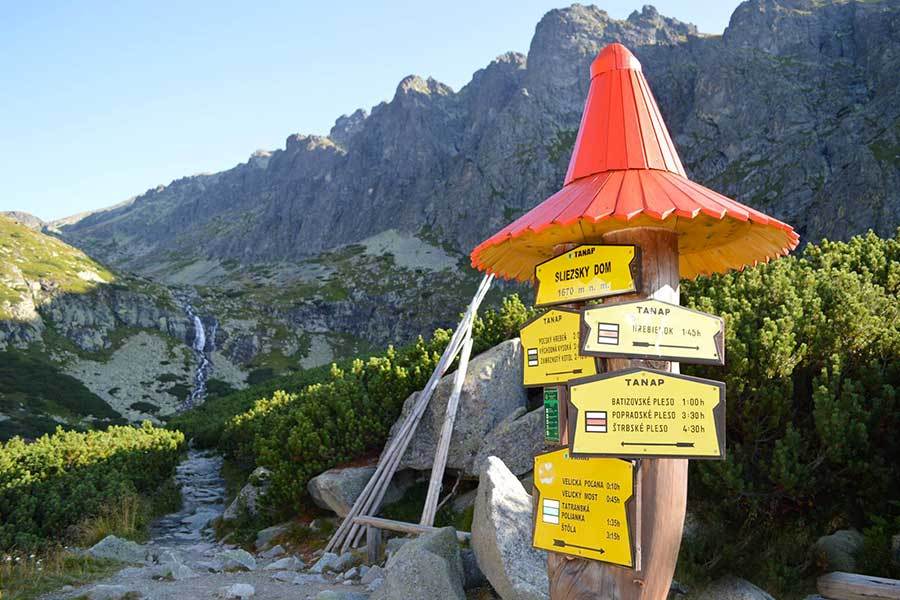
Tatra Main Trail
Velická Valley
Sliezsky House – 1,670 m above sea level
Velické Lake
Hrebienok – return to the starting point

That's how it looks here. Take a look
Set out to discover the beauty of the Tatra Mountains
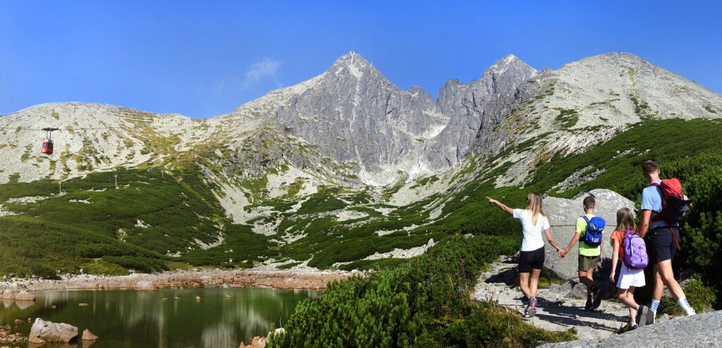
Hiking trails will take you to mountain lakes, waterfalls, mountain huts, and the peaks of the Tatra Mountains. Choose from easy walks to more challenging hikes and discover the region’s beauty step by step.




Must-See Places. Discover them one by one
Every corner of the Tatra Mountains has its own story. Discover the places that shape the character of the region.




The Tatra Mountains wake up differently every day
Current conditions, upcoming events, and editorial recommendations. Everything you need to know before heading to the Tatras.

Webcams
Poprad
3°C
Overcast

Lomnický štít
-2°C
Fog

Tatranská Lomnica
-1°C
Fog
Starý Smokovec
2°C
Overcast
Hrebienok
1°C
Overcast
Štrbské Pleso
4°C
Drizzle

Skalnaté pleso
4°C
Overcast
Solisko
2°C
Drizzle


Everything You Need to Know Before Your Trip
Answers to the most frequently asked questions about the High Tatras region.