5866 – Poprad – Gerlachov – Tatranská Polianka
From Poprad, directly below Gerlachovský štít



Route from Poprad to the Tatra Mountains
Elevation Gain During the Ascent
Estimated travel time
From the town at the foot of the Tatra Mountains, through the open countryside, all the way to Tatranská Polianka
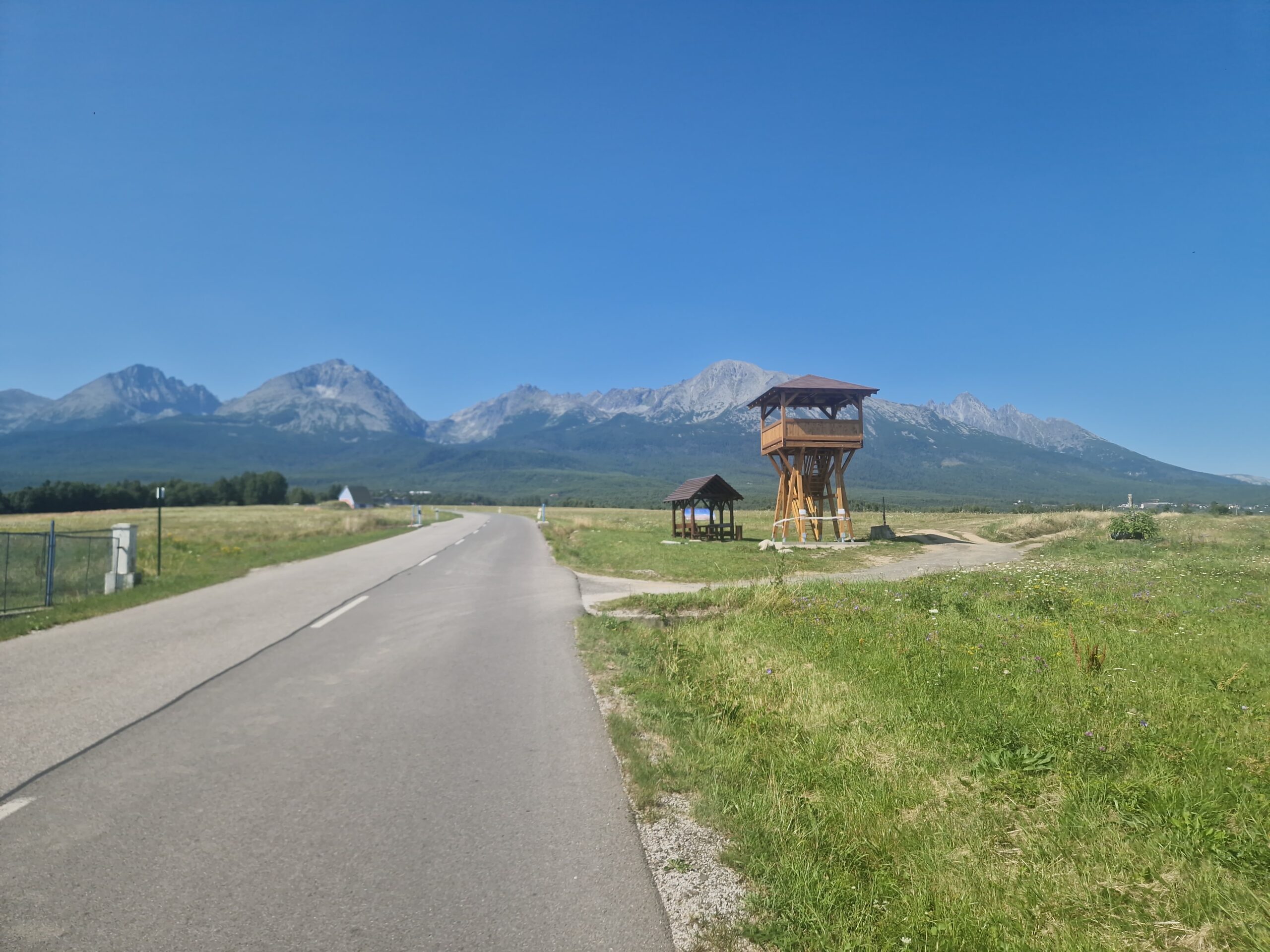
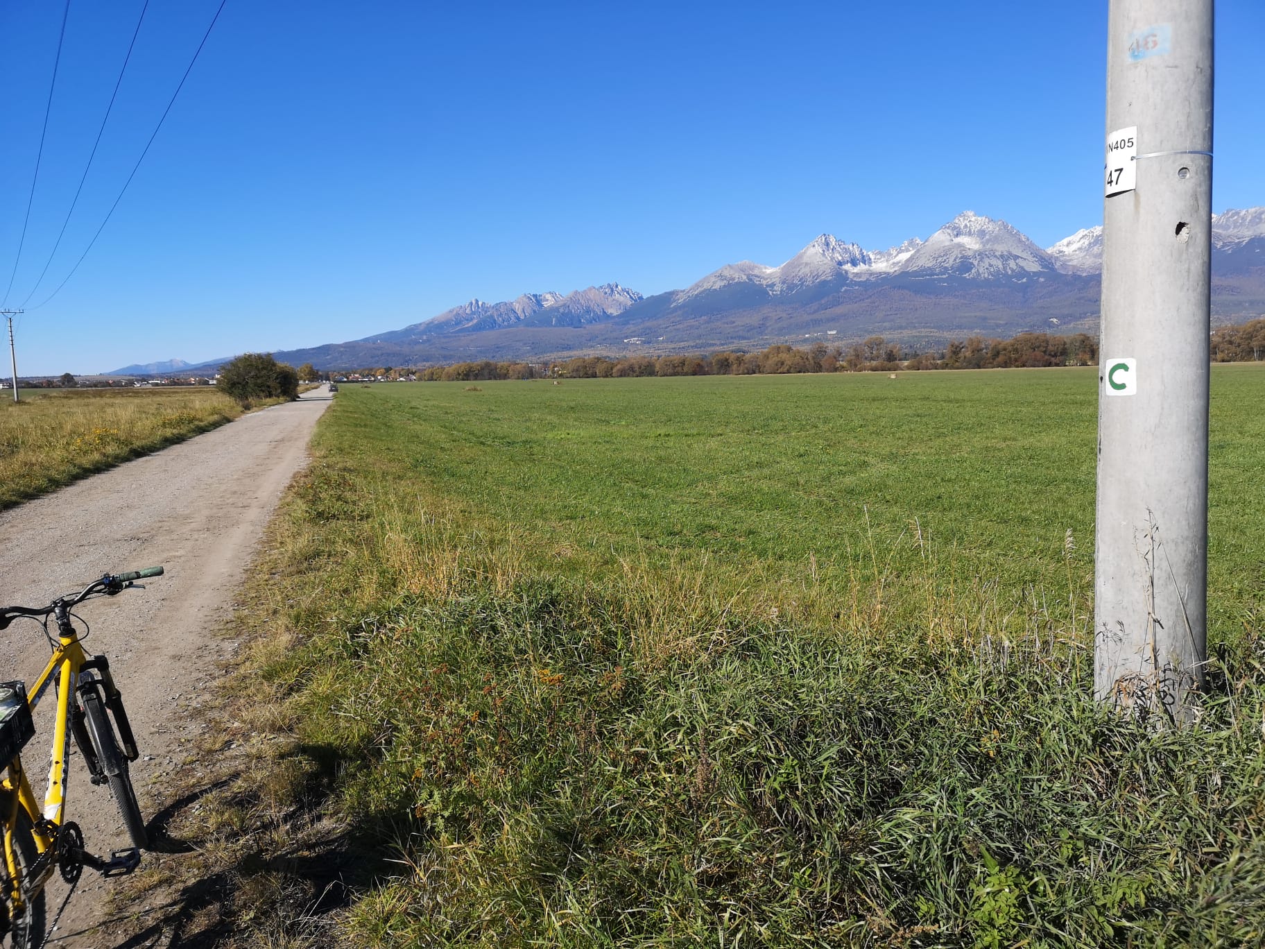
The bike route begins in the Poprad-Veľká district and continues past the Poprad-Tatry Airport through Batizovce to Gerlachov. As you ride through the open landscape at the foot of the Tatras, panoramic views of the High Tatras gradually come into view.
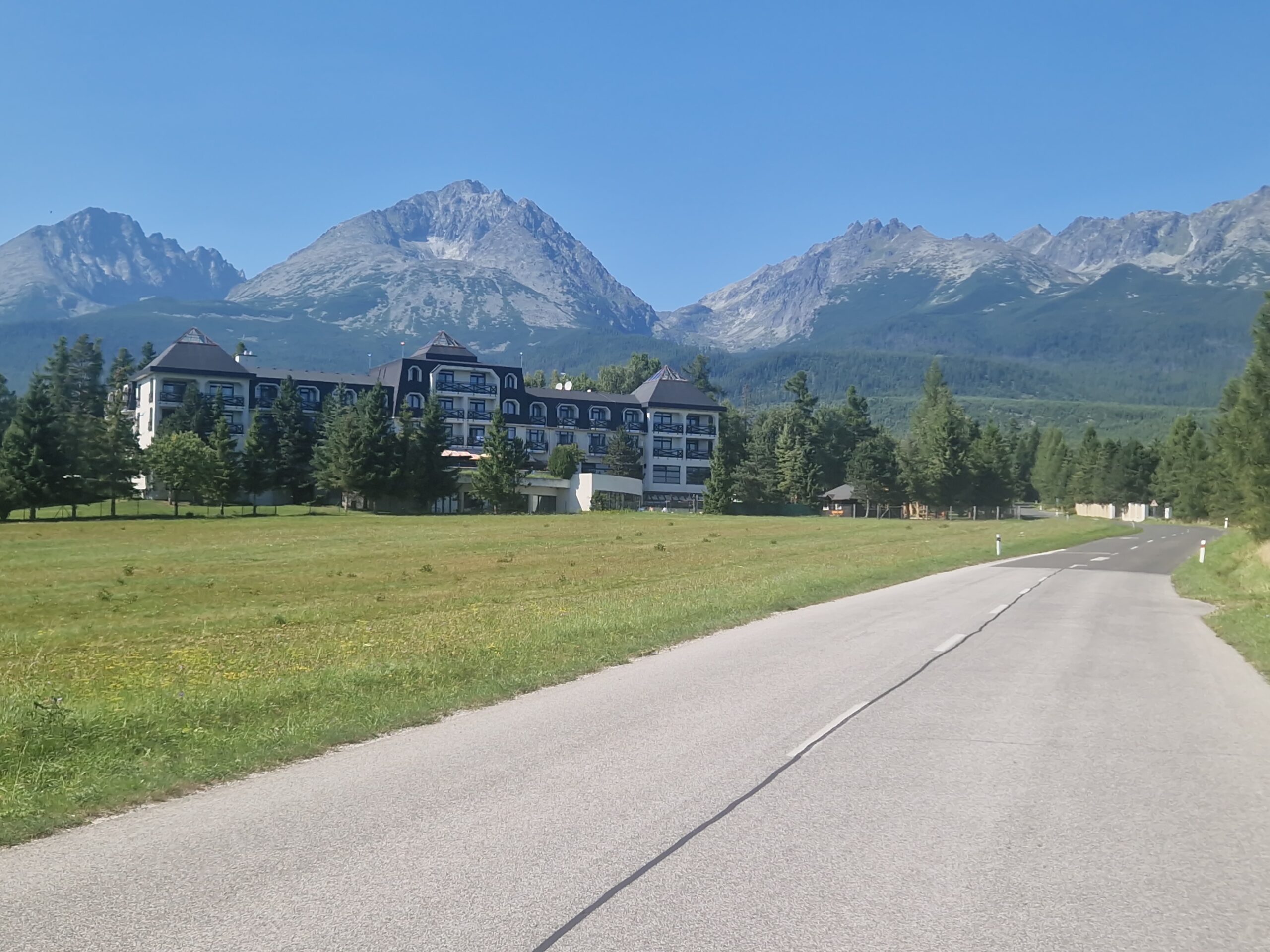
Beyond Gerlachov, there is a steeper climb along the main road up to Tatranská Polianka at an elevation of 1,005 meters above sea level. This is a popular starting point for trips to the Velická Valley, the Sliezsky House, and hikes around Gerlachovský Peak. In the opposite direction, the route is mostly downhill.
What We Offer

Trasa a výškový profil
What do you need to know before you arrive?
Please read this before your visit
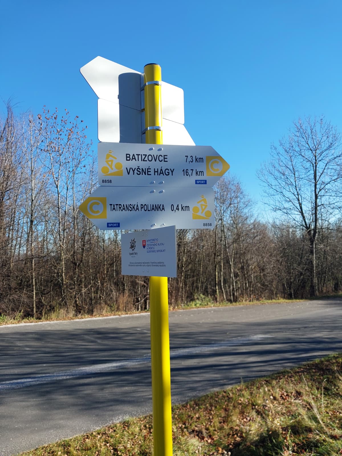
The bike route follows local roads and, toward the end, also runs along the main road. Ride on the right, use high-visibility gear, and pay extra attention when passing through intersections.
The section from Poprad through Batizovce to Gerlachov has a gentler gradient. A steeper climb begins just past Gerlachov and continues toward Tatranská Polianka.
Coming from Poprad, you’ll climb approximately 310 meters in elevation. When traveling in the opposite direction from Tatranská Polianka, the route is mostly downhill and less physically demanding.
More than 13 km from Poprad, directly below Gerlach
Cycle Route 5866 begins in the Poprad-Veľká district and continues past the Poprad-Tatry Airport through Batizovce and Gerlachov to Tatranská Polianka. It connects the city with the villages at the foot of the Tatras and offers gradually unfolding views of the High Tatras panorama.
The first part of the route is relatively flat, while a steeper climb begins past Gerlachov. The destination is Tatranská Polianka, at an elevation of approximately 1,005 meters above sea level, known as the starting point for the Velická Valley.
Past the Airport to Batizovce
From Poprad-Veľká, the route heads north past the Poprad-Tatry Airport. It then continues along local roads to the village of Batizovce.
Views near Gerlachov
Past Batizovce, you’ll reach Gerlachov, which offers striking views of the Tatra Mountains. The village is also the last stop before the more challenging final stretch.
The Ascent to Tatranská Polianka
Beyond Gerlachov, the route’s profile changes and the road begins to climb more steeply. The final section follows the main road all the way to Tatranská Polianka.

Tak to u nás vyzerá. Pozrite sa

Explore the region on two wheels
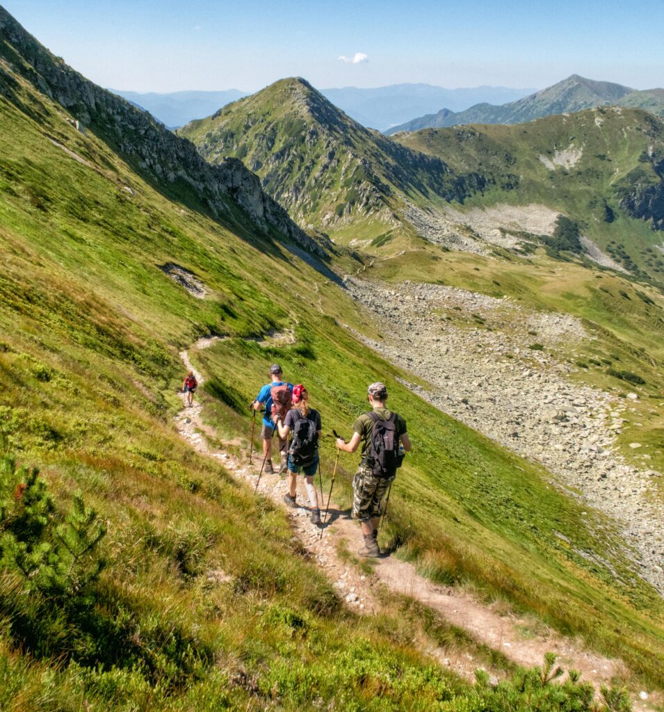
The Tatra Mountains offer an extensive network of bike trails for every type of cyclist—from easy trails in the foothills to challenging mountain loops with views that make every strenuous pedal stroke worthwhile.




Must-See Places. Discover them one by one
Every corner of the High Tatras has its own story. Discover the places that shape the character of the region.




The Tatra Mountains wake up differently every day
Current conditions, upcoming events, and editorial recommendations. Everything you need to know before heading to the Tatras.

Webcams
Poprad
2°C
Mostly clear

Lomnický štít
-5°C
Overcast

Tatranská Lomnica
0°C
Mostly clear
Starý Smokovec
1°C
Mostly clear
Hrebienok
0°C
Mostly clear
Štrbské Pleso
1°C
Mostly clear
Skalnaté pleso
-1°C
Partly cloudy
Solisko
-1°C
Mostly clear


Everything You Need to Know Before Your Trip
Answers to the most frequently asked questions about the High Tatras region.