

2864 – Starý Smokovec – Hrebienok
A short but steep climb to Hrebienok



A short climb with a steep ascent
Ascent to Hrebienok
Estimated travel time
A hike from Starý Smokovec to a popular starting point for Tatra hikes
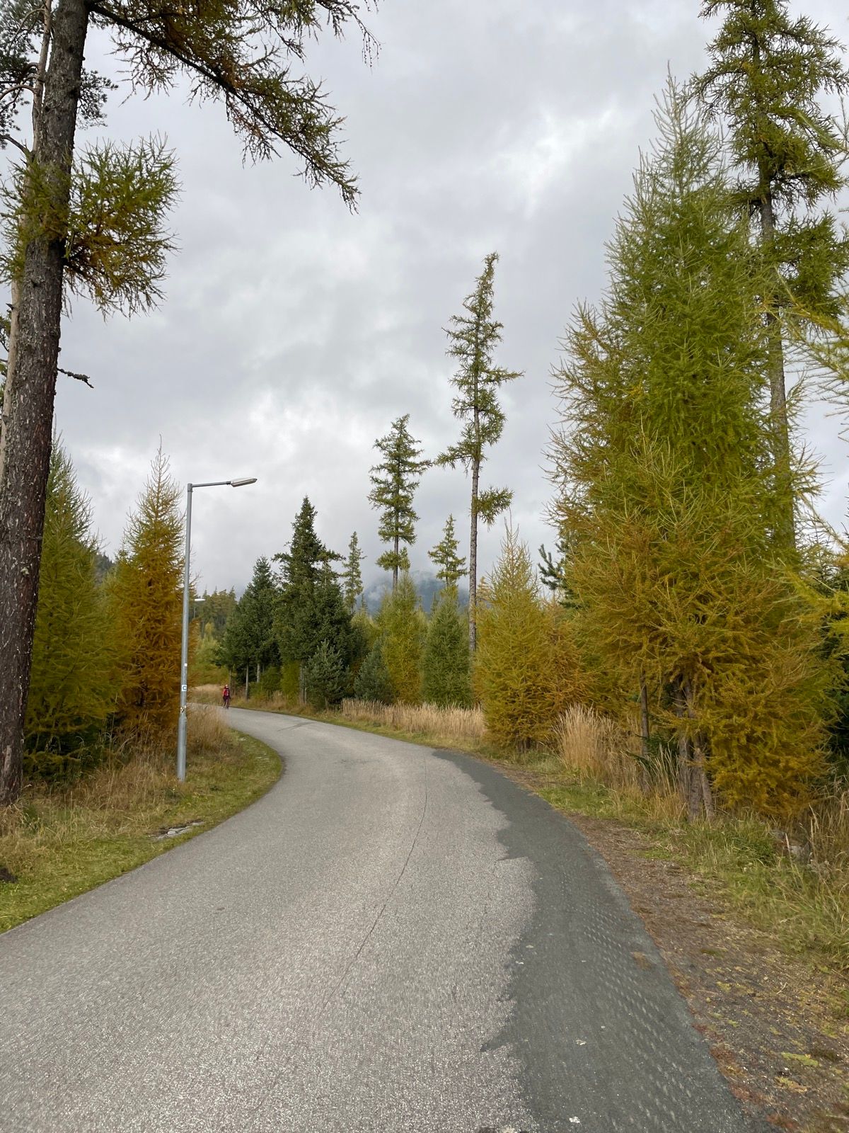
The bike trail begins at the Vysoké Tatry Municipal Office in Starý Smokovec and climbs steadily along a paved road all the way to Hrebienok. The steady climb will test your fitness, with the steepest section awaiting cyclists just before the final turn. The route is particularly suitable for more experienced cyclists or those riding e-bikes.
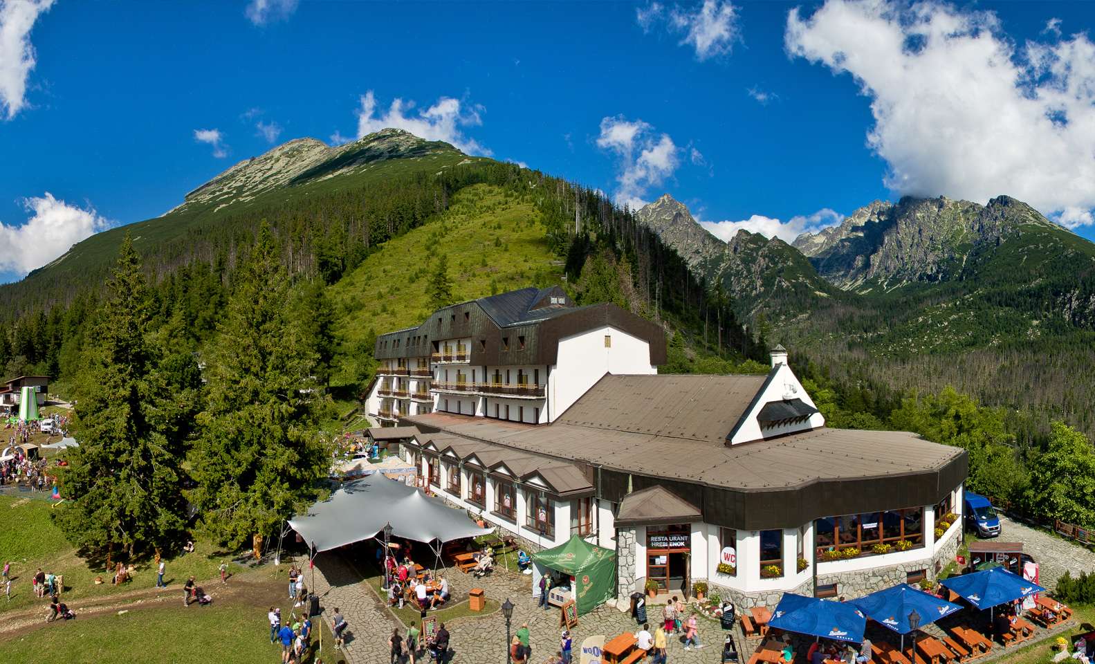
At Hrebienok, you can rest, grab a snack, and enjoy the views of the Tatra peaks. The area is also a popular starting point for hikes to the Studený Potok Waterfalls, the Veľká and Malá Studená Valleys, and high-altitude mountain huts.
What We Offer

Trasa a výškový profil
What do you need to know before you arrive?
Please read this before your visit
Although the route is short, it consists of an almost continuous climb and gains approximately 270 meters in elevation over 2.8 km. It is particularly suitable for cyclists in good physical condition or for riding an e-bike.
The climb is mostly steady. In the second third, there is a short, gentler section where you can catch your breath before the final stretch. The steepest section comes just before the last turn; the final stretch to Hrebienok is almost flat.
Pedestrians also use this trail, so please adjust your speed to the current conditions. Pay special attention when descending, on curves, and on busy sections near Hrebienok.
A short but steep climb from Starý Smokovec to Hrebienok
Bike Trail 2864 begins at the town hall in Starý Smokovec and climbs along a paved road to Hrebienok. Over a distance of just under three kilometers, it climbs approximately 270 meters in elevation, making for a short but physically demanding ride.
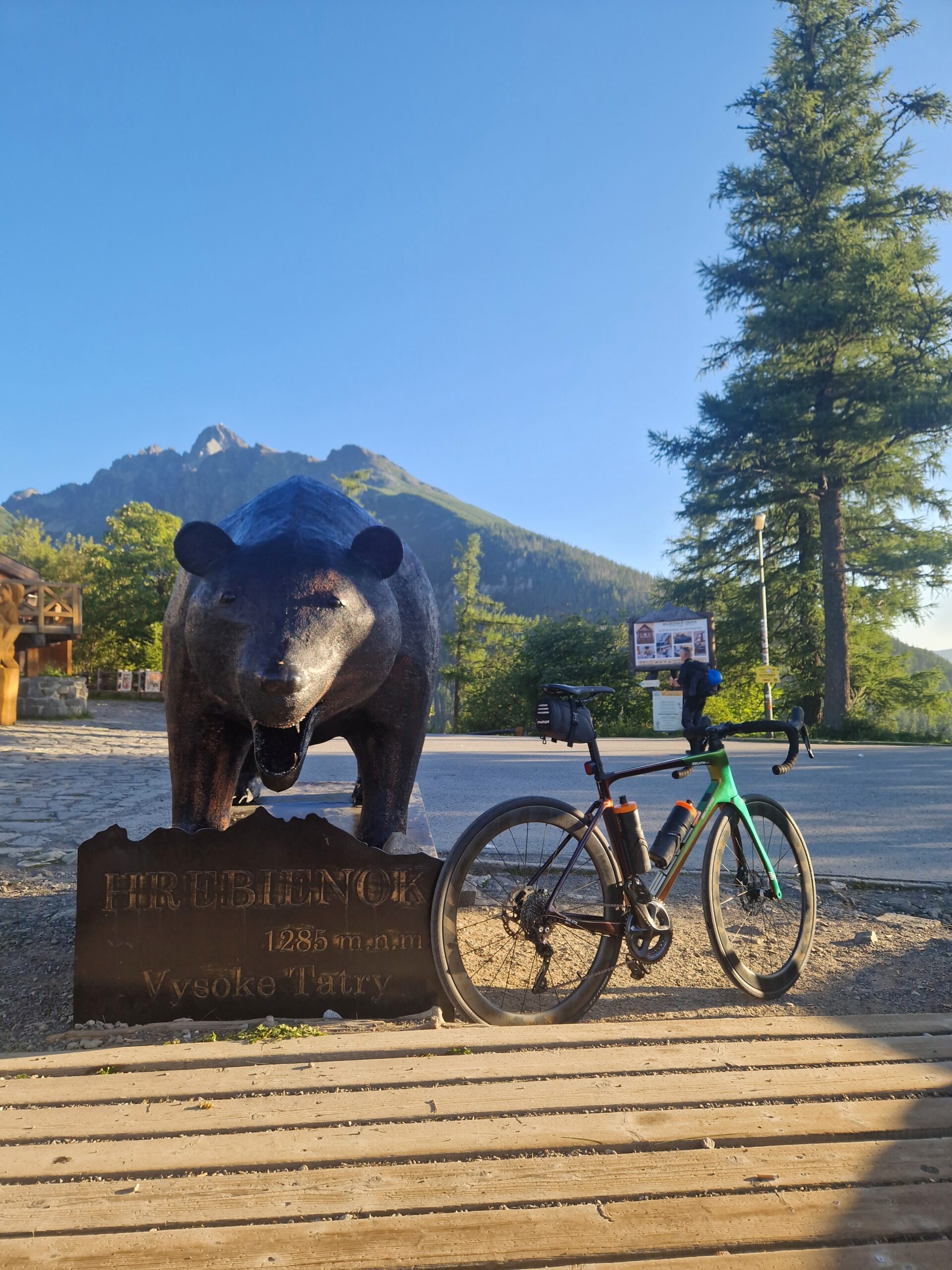
The trail ends at one of the most popular tourist destinations in the High Tatras. Hrebienok offers places to eat, views of the surrounding peaks, and connections to hiking trails leading to the Studený Potok Waterfalls and mountain huts.
A continuous asphalt climb
The entire route follows a paved road and climbs almost continuously. The surface is suitable for road, trekking, and mountain bikes; however, the cyclist’s fitness level is the deciding factor.
The Most Challenging Finale
The second third of the route features a short, gentler stretch that allows cyclists to regain their strength before the finish. The steepest climb awaits cyclists before the final turn, after which a more gradual descent follows.
Hrebienok as a destination for a trip
After the hike, you can rest and grab a bite to eat right at Hrebienok. This spot also serves as the starting point for hikes to the Veľká and Malá Studená valleys or to the Studený Potok Waterfalls.
Route Markings
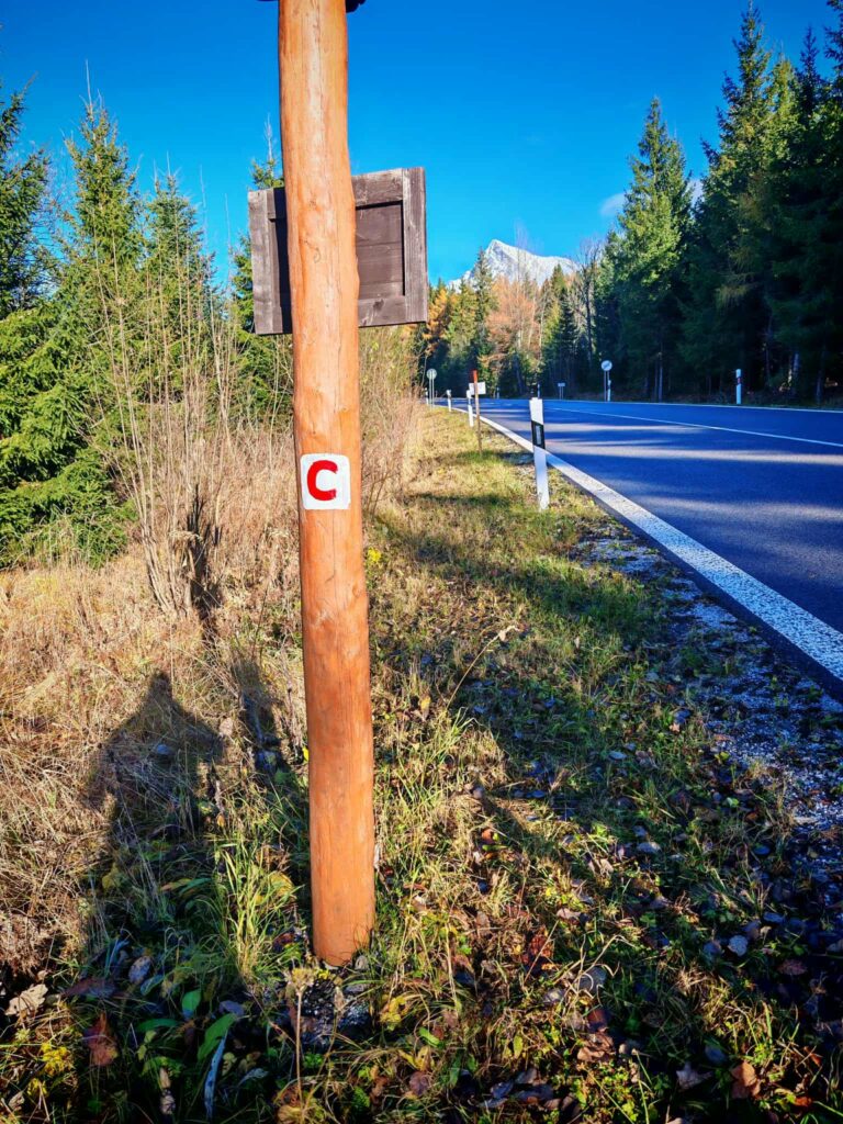
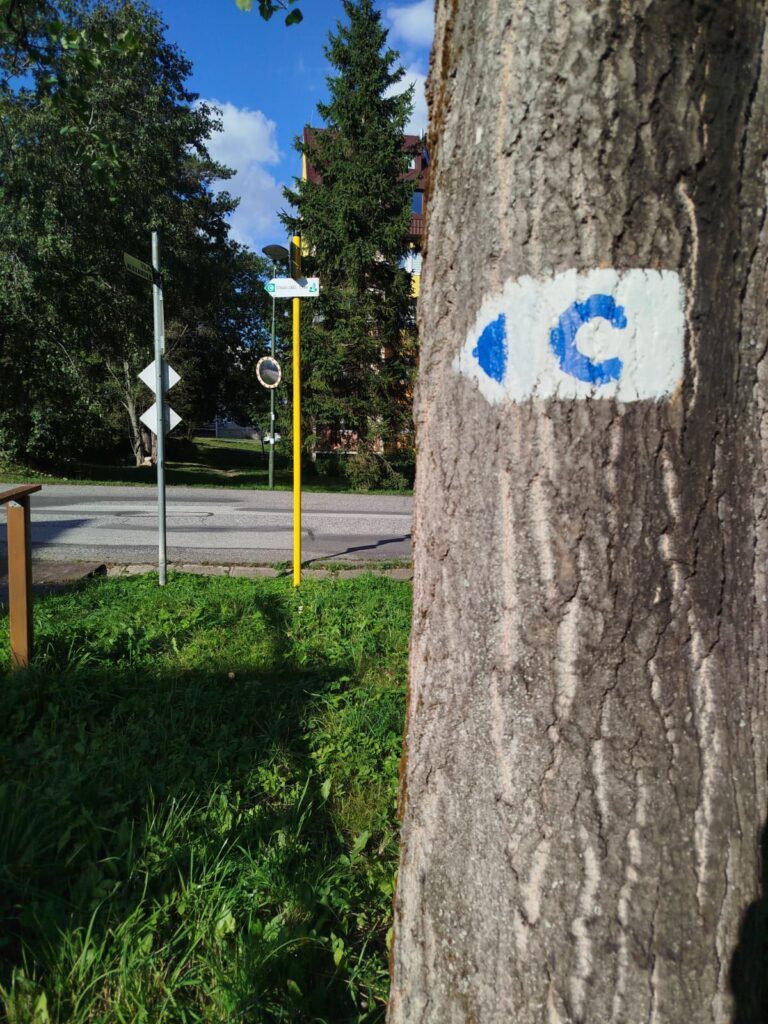
The bike trail is marked with a blue “C” symbol. While riding, be mindful of hikers, and when returning to Starý Smokovec, adjust your speed to accommodate the steeper descent.

Tak to u nás vyzerá. Pozrite sa
Explore the region on two wheels
The Tatra Mountains offer an extensive network of bike trails for every type of cyclist—from easy trails in the foothills to challenging mountain loops with views that make every strenuous pedal stroke worthwhile.




Must-See Places. Discover them one by one
Every corner of the High Tatras has its own story. Discover the places that shape the character of the region.








The Tatra Mountains wake up differently every day
Current conditions, upcoming events, and editorial recommendations. Everything you need to know before heading to the Tatras.

Webcams
Poprad
-2°C
Clear

Lomnický štít
-11°C
Clear
Tatranská Lomnica
-3°C
Clear
Starý Smokovec
-1°C
Clear
Hrebienok
-2°C
Clear
Štrbské Pleso
-1°C
Clear
Skalnaté pleso
-2°C
Clear
Solisko
-2°C
Clear


Everything You Need to Know Before Your Trip
Answers to the most frequently asked questions about the High Tatras region.
