A leisurely run through the Tatra villages
Starý Smokovec – Tatranská Polianka



Short one-way running track
Suitable for recreational and recovery runs
Total elevation gain along the route
From bustling Smokovec to peaceful Tatranská Polianka
The running route begins at the Tatrašport Žampa Guesthouse in Starý Smokovec and ends in Tatranská Polianka. Over a distance of 4.25 kilometers, it features a 60-meter climb and a 75-meter descent, resulting in a gently undulating but technically undemanding elevation profile.
The short distance makes the route ideal for a leisurely endurance run, light training, or an active way to connect the two Tatra villages. The lowest point of the route lies at an elevation of 996 meters above sea level, and the highest reaches 1,032 meters above sea level.
What can you experience and see along the route?

Trasa a výškový profil
What do you need to know before you arrive?
Please read this before your visit
The course has only slight elevation changes. The total ascent is 60 meters and the descent is 75 meters, making it suitable for a steady run without any long or steep climbs.
The publicly available route map does not specify the type of surface, a detailed itinerary, or the color of the trail markings. If you are hiking on your own, therefore, please refer to the most current map or GPX file and follow local roads and trails.
The route ends in Tatranská Polianka and does not return to Starý Smokovec. You can return by public transportation or by walking the same route in the opposite direction. If you run back, the total distance will increase to approximately 8.5 kilometers.
Four kilometers along a gently undulating Tatra mountain route
Elevation Profile
The lowest point of the route is at an elevation of approximately 996 meters above sea level, and the highest point reaches 1,032 meters above sea level. The total ascent is 60 meters, and the total descent is 75 meters.
The difference between the lowest and highest points is 36 meters. The profile is therefore not completely flat, but it does not include any significant mountain climb. Traveling from Starý Smokovec to Tatranská Polianka, the route is slightly downhill.
Course Route
The run starts at the Tatrašport Žampa Guesthouse in Starý Smokovec. From there, continue toward Tatranská Polianka along the route marked on the “Tatry v pohybe” map.
Over the course of 4.25 kilometers, the route rises and falls slightly but remains within a narrow elevation range. This makes it possible to maintain a steady and relatively even pace.
The run ends in Tatranská Polianka. Since this is a one-way course, at the finish line you’ll need to proceed with your planned return trip or continue back along the same route.

That's how it looks here. Take a look
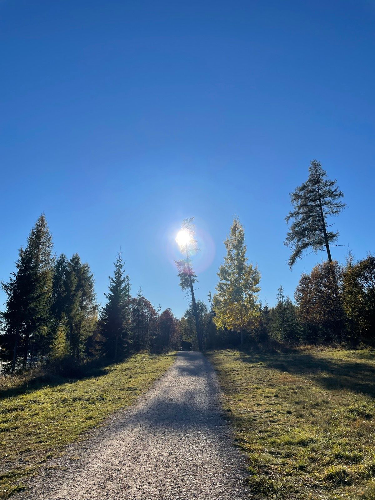
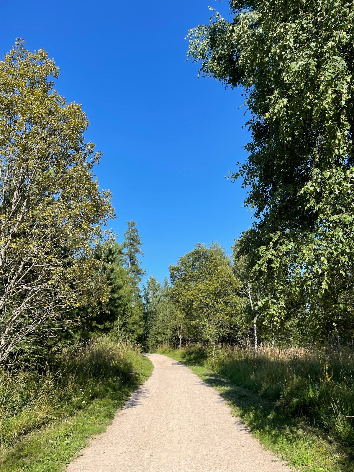
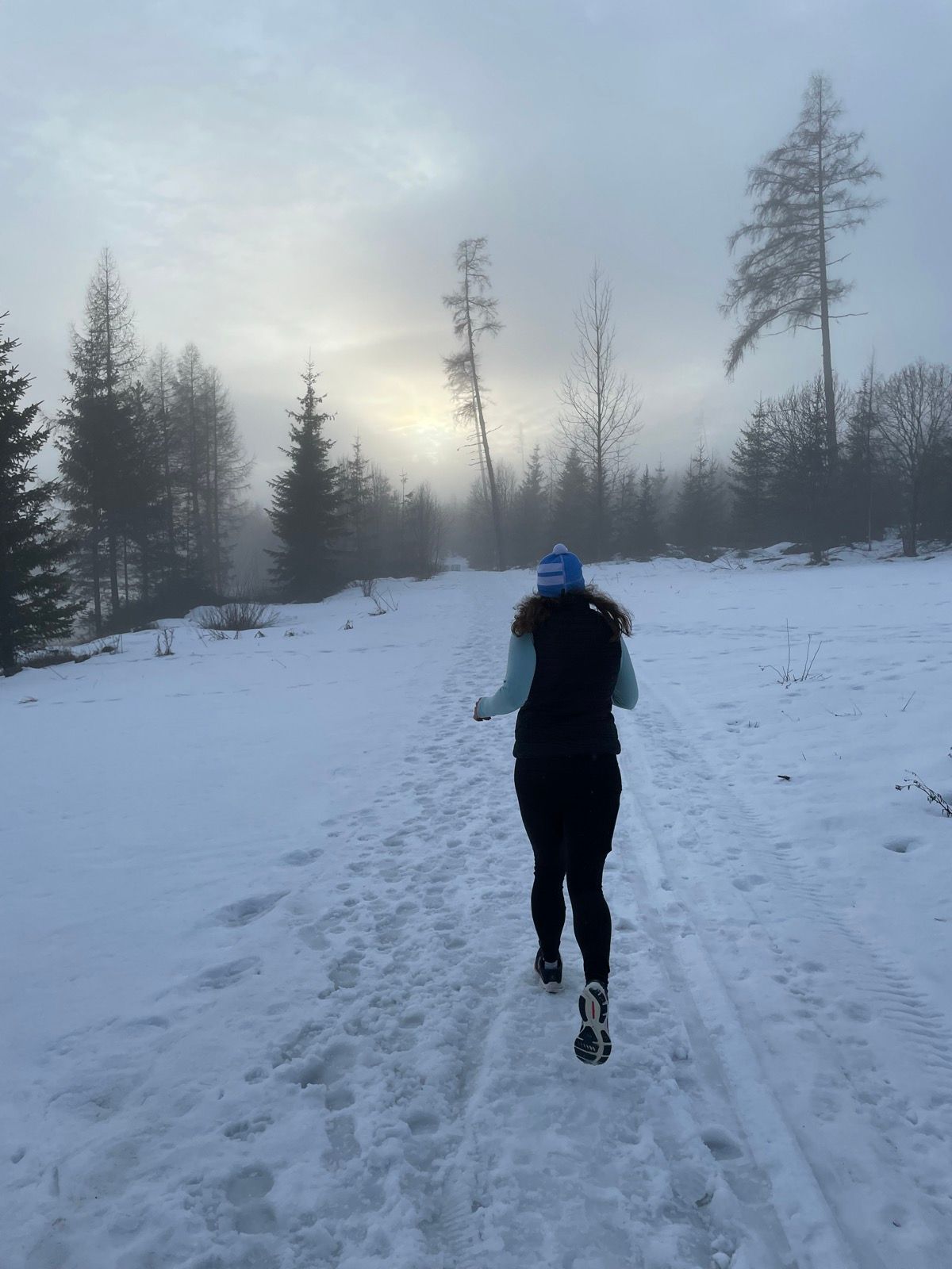
Explore the region in your running shoes
The Tatra Mountains offer a diverse network of running trails for both recreational and experienced runners—from easy trails in the foothills to challenging mountain loops with elevation gains and views that make every kilometer run well worth it.
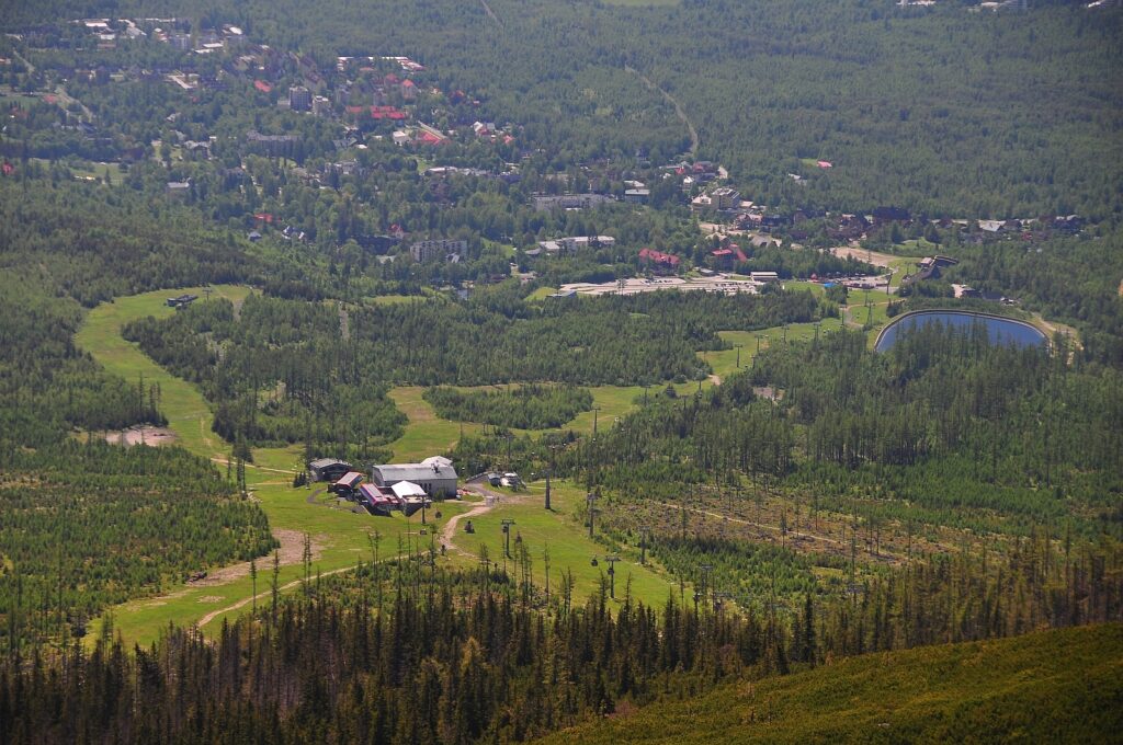




Must-See Places. Discover them one by one
Every corner of the Tatra Mountains has its own story. Discover the places that shape the character of the region.




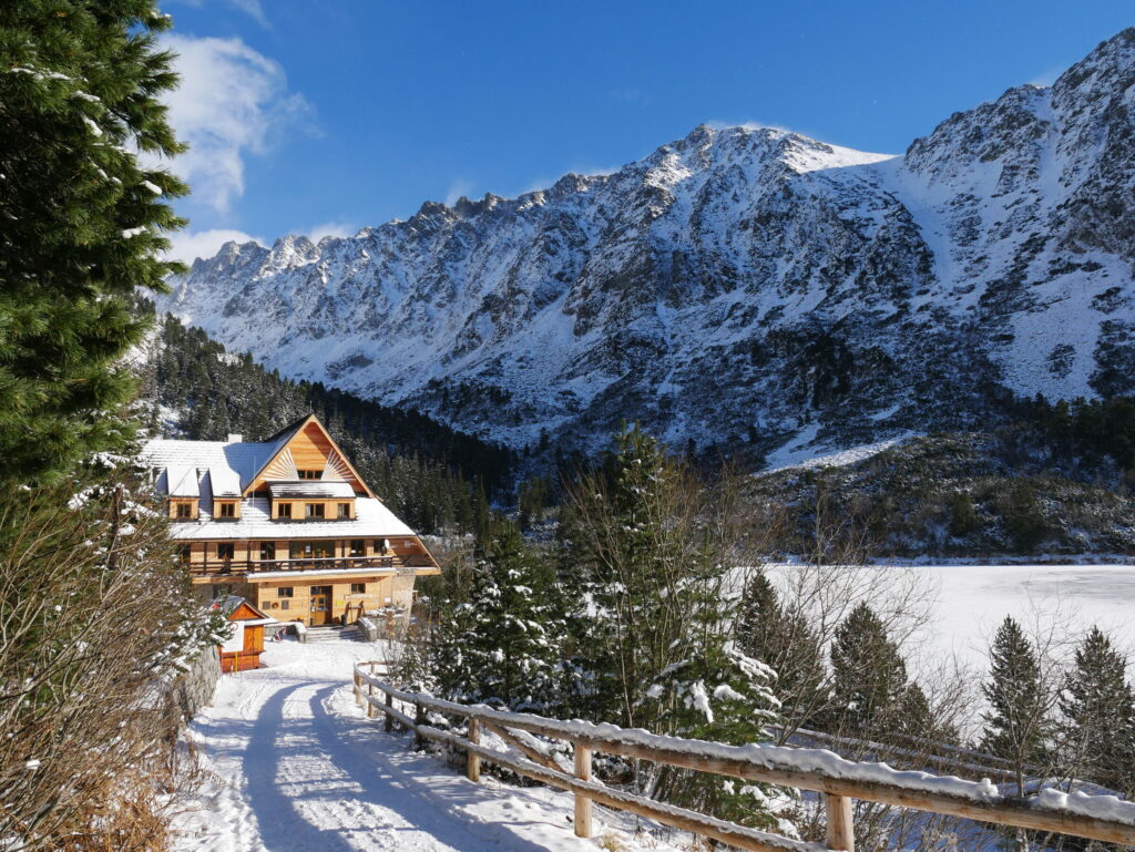
The Tatra Mountains wake up differently every day
Current conditions, upcoming events, and editorial recommendations. Everything you need to know before heading to the Tatras.

Webcams
Poprad
2°C
Mostly clear

Lomnický štít
-6°C
Overcast

Tatranská Lomnica
0°C
Mostly clear
Starý Smokovec
1°C
Mostly clear
Hrebienok
0°C
Mostly clear
Štrbské Pleso
1°C
Partly cloudy
Skalnaté pleso
-1°C
Partly cloudy
Solisko
-1°C
Mostly clear


Everything You Need to Know Before Your Trip
Answers to the most frequently asked questions about the High Tatras region.