A 10-kilometer road run through Štrba and around historic Šoldov
Štrba Cultural Center – streets of the village of Štrba – water tower – Šoldov – Štrba Cultural Center



Road running circuit starting and finishing in Štrba
A technically easy course on an asphalt surface
Total ascent and descent on the circuit
A running trail with scenic views and a touch of history
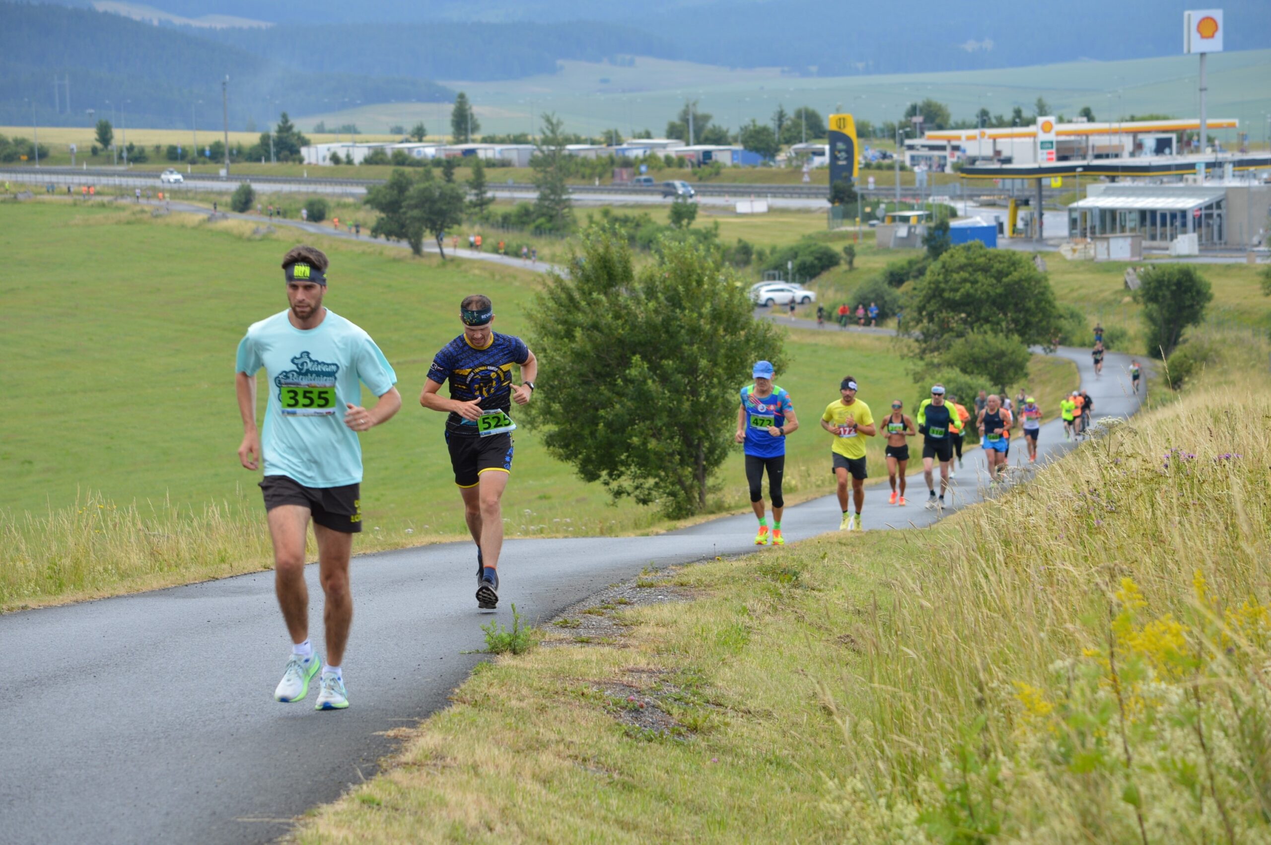
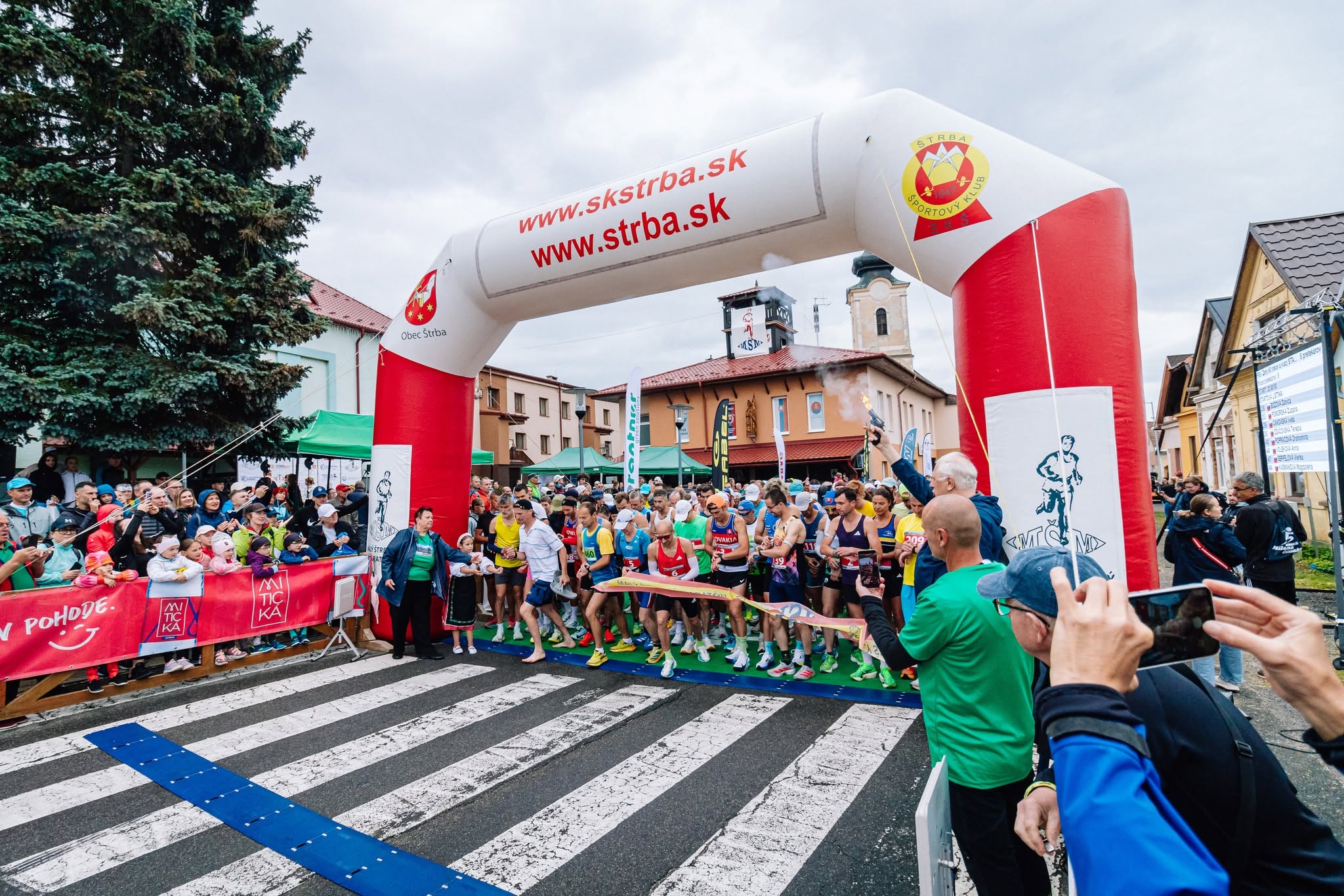
The Štrba Mini Marathon (10 kilometers) is a road race designed for those looking for a shorter alternative to the main marathon. It starts in front of the Cultural Center in Štrba, passes through the village streets, and continues to the northern edge of Štrba, from where it follows an asphalt road around the D1 highway and the Šoldov area.
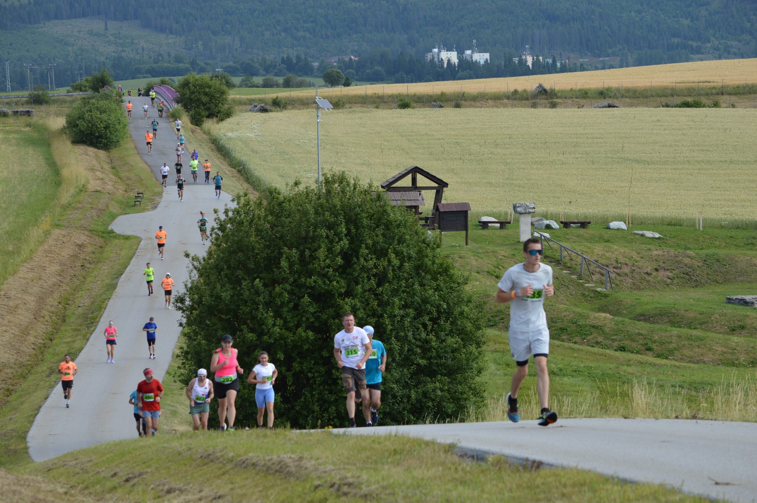
After passing by the ruins of a medieval settlement and the Jánošík Trail, the course returns to Štrba. The final stretch leads through the village back to Hlavná Street and to the finish line at the Cultural Center.
What can you experience and see along the route?

Trasa a výškový profil
What do you need to know before you arrive?
Please read this before your visit
The entire course is on a paved surface. Therefore, road running shoes with adequate cushioning are recommended to ensure comfort during the 10-kilometer run. When the surface is wet, pay extra attention to turns and downhill sections.
The lowest point of the course is at an elevation of 813 meters above sea level, and the highest is at 915 meters above sea level. The circuit has a total elevation gain and loss of approximately 121 meters, so it has an undulating but technically undemanding profile.
Ten kilometers through the streets of Štrba and the countryside around Šoldov
Elevation Profile
The course ranges in elevation from approximately 813 to 915 meters above sea level. The difference between the lowest and highest points is approximately 102 meters. The total ascent and total descent on this rugged circuit amount to 121 meters.
The route is slightly undulating. From the center of the village, the route gradually ascends to the higher-elevation northern part of Štrba near the reservoir, from where it continues through the countryside around Šoldov and then descends back to the village.
Course Route
The run starts in front of the Cultural Center in Štrba. Continue along Československej armády Street, then turn onto Poľná, Štepánkovická, and Hviezdoslavova Streets.
At the point where the main route of the Malý Štrbský Marathon branches off toward Šuňava, turn left onto Šuňavská Street. Follow the sidewalk to Družstevná Street, then continue via Sládkovičova and Krónova Streets to the water tower on the upper edge of the village.
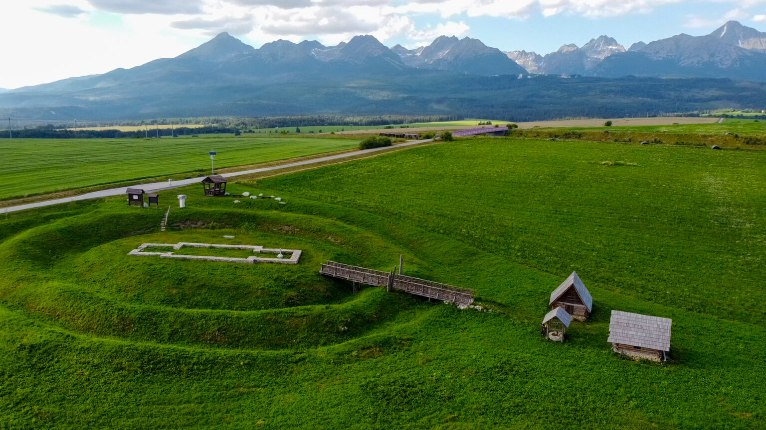
An asphalt road runs from the water tower along the north side of the D1 highway. The route passes by the site of the abandoned medieval settlement of Šoldov and Jánošík’s trail.
Take the third-class road heading from Važec to return to Štrba on Československej armády Street. You’ll then pass through Poľná and Štepánkovická Streets again; at the elementary school, turn onto Školská Street, and after a final stretch along Hlavná Street, you’ll reach the finish line at the Cultural Center.

Tak to u nás vyzerá. Pozrite sa
Explore the region in your running shoes
The Tatra Mountains offer a diverse network of running trails for both recreational and experienced runners—from easy trails in the foothills to challenging mountain loops with elevation gains and views that make every kilometer run well worth it.
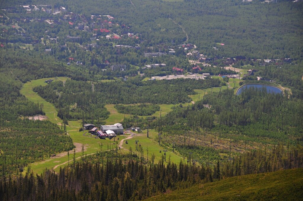




Must-See Places. Discover them one by one
Every corner of the Tatra Mountains has its own story. Discover the places that shape the character of the region.
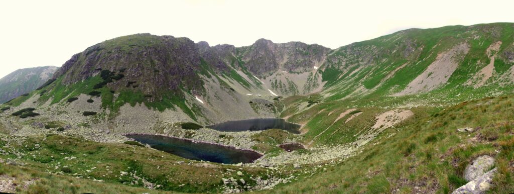
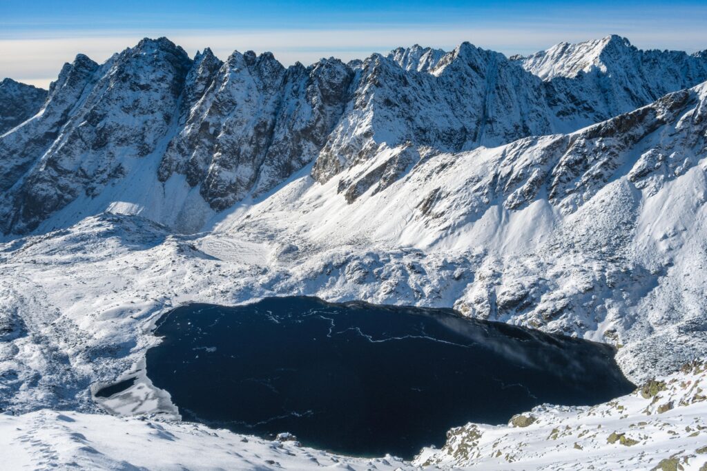




The Tatra Mountains wake up differently every day
Current conditions, upcoming events, and editorial recommendations. Everything you need to know before heading to the Tatras.

Webcams
Poprad
2°C
Overcast

Lomnický štít
-7°C
Snow

Tatranská Lomnica
1°C
Partly cloudy

Starý Smokovec
1°C
Fog

Hrebienok
-1°C
Drizzle

Štrbské Pleso
1°C
Drizzle
Skalnaté pleso
-1°C
Snow
Solisko
-2°C
Snow


Everything You Need to Know Before Your Trip
Answers to the most frequently asked questions about the High Tatras region.