To Jahňací štít via Zelené pleso
Tatranská Lomnica – Tatranské Matliare – Chalet at Zelené pleso – Jahňací štít



Route Length
Difficulty
Estimated time
From the Tatra foothills to the scenic summit
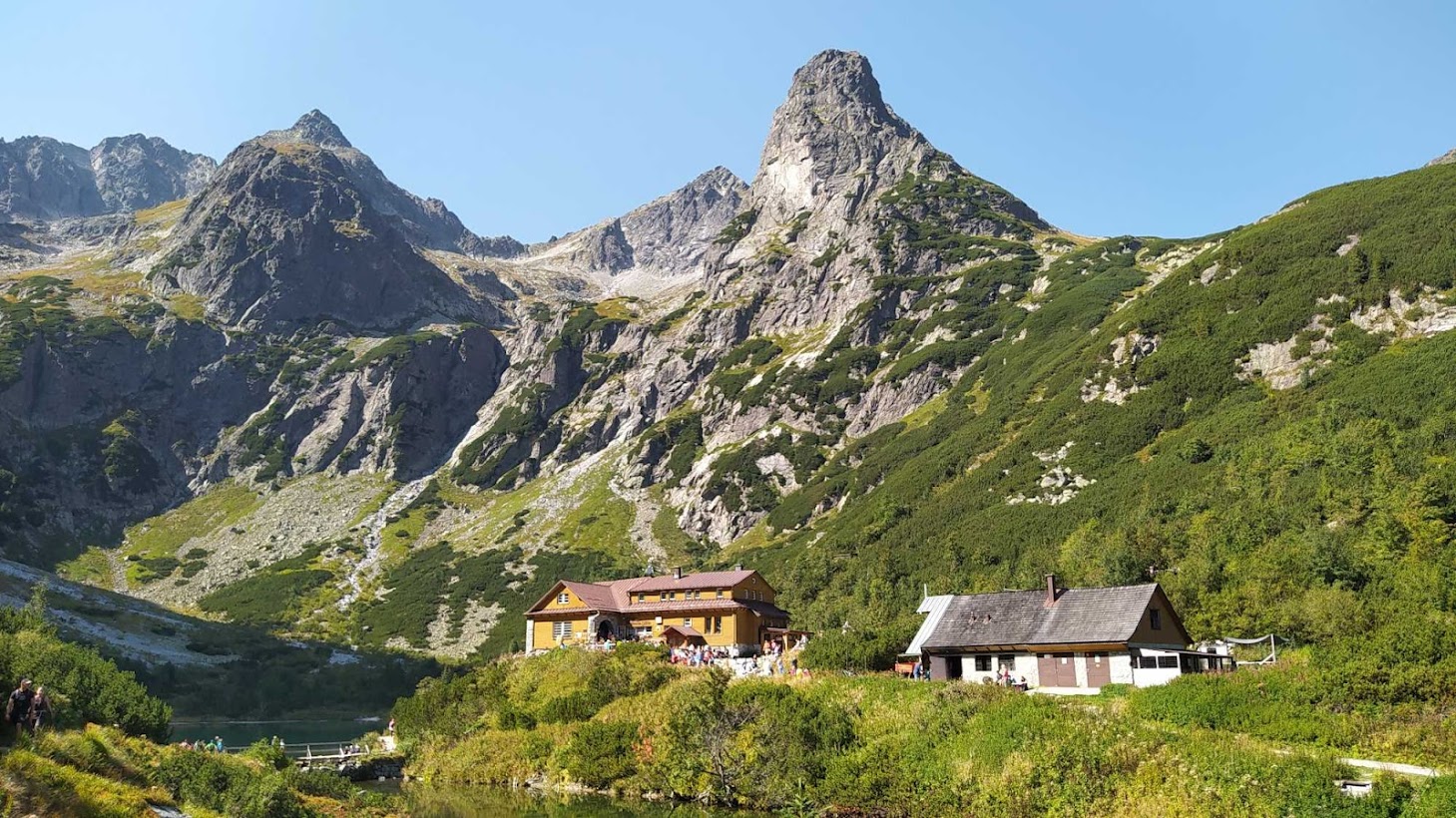
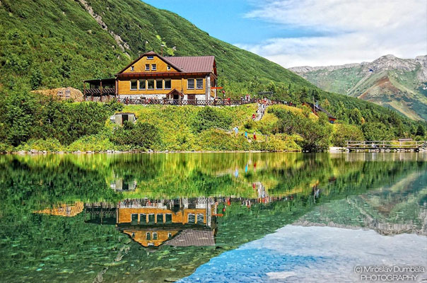
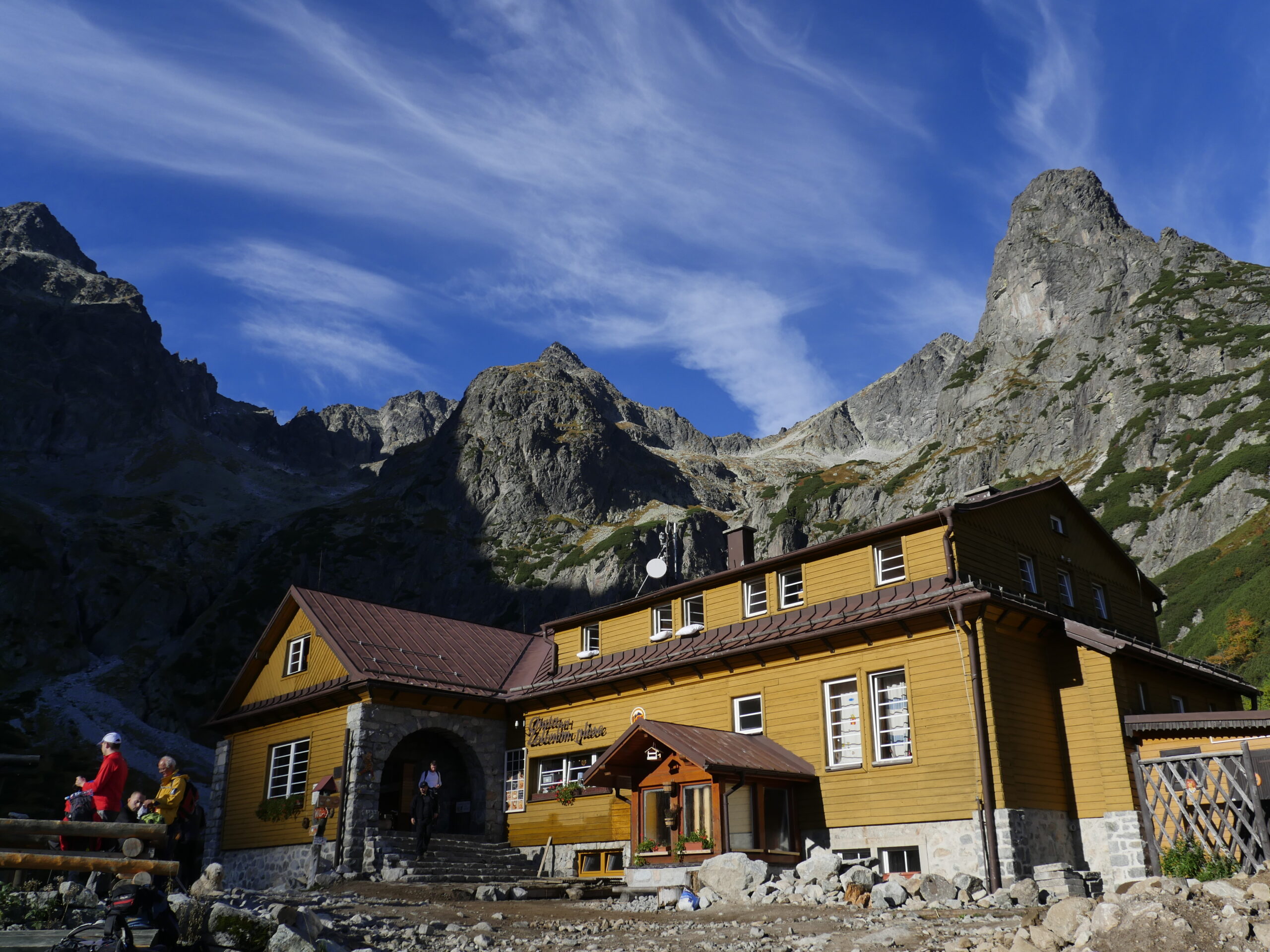
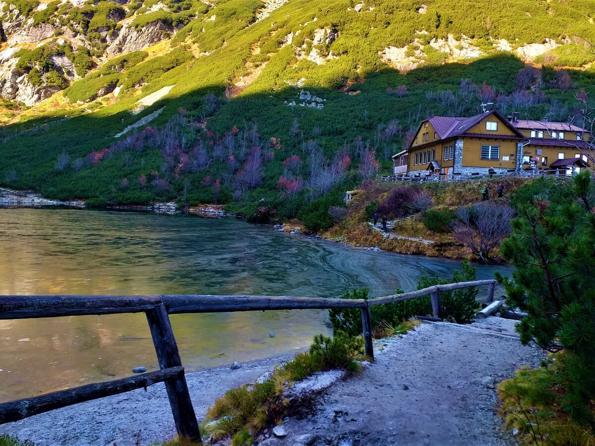
The trail begins in Tatranská Lomnica and continues through Tatranské Matliare to the Kežmarská Biela Voda Valley. The forest trail gradually gains elevation and leads you to Zelené pleso, above which rises the striking Jastrabia veža. Next to the lake stands the Chata pri Zelenom plese mountain hut, open year-round, which is a great place to rest and grab a bite to eat before the ascent to the summit.
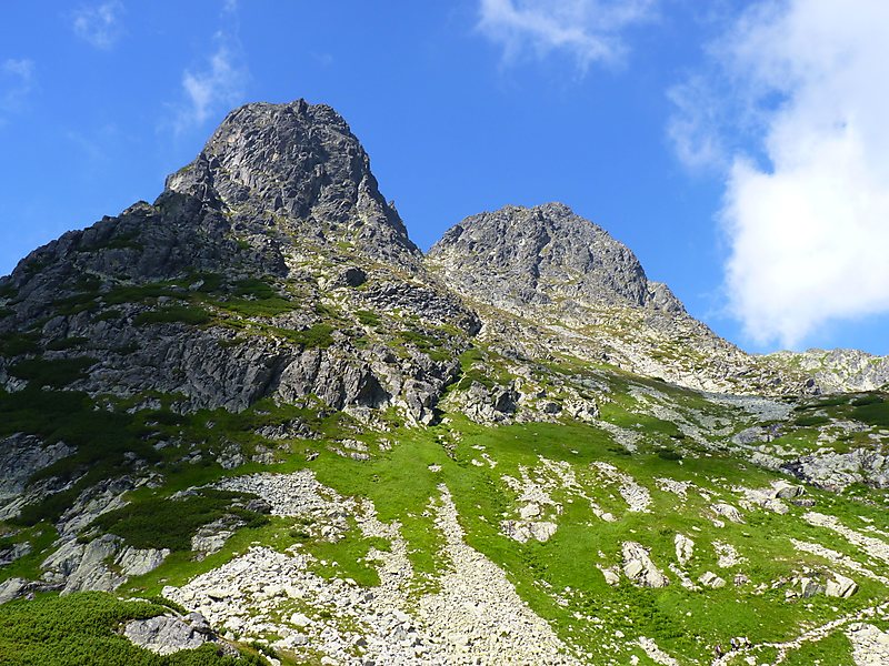
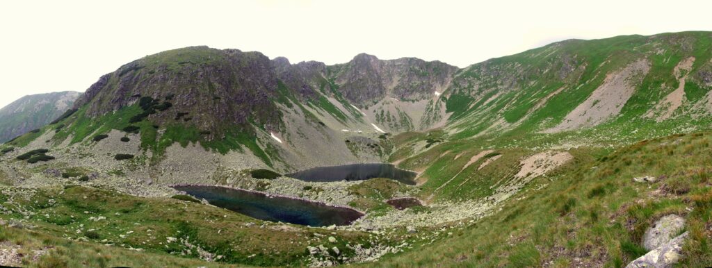
From the lodge, the yellow trail continues along a steeper, rocky path into Červená Valley. The route passes by Červené and Belasé Lakes, crosses scree terrain to Kolový Pass, and then proceeds through an exposed section secured with chains. The final section follows a narrow, rocky trail—with spots where you’ll need to use your hands for support—all the way to the summit of Jahňací štít.
What can you experience and see along the route?

Trasa a výškový profil
What do you need to know before you arrive?
Please read this before your visit
The yellow-marked trail from Zelené pleso to Jahňací štít is closed every year from November 1 through May 31 of the following year.
Above Červená dolina, the trail passes through rocky and, in places, exposed terrain. Near the Kolovo Pass, there is a section secured with chains, and some easy climbing toward the end. Time allowance
The time listed is approximate and does not include longer breaks, snacks, or the return trip. The pace can be significantly affected by the weather, trail conditions, and waiting at chain barriers.
A long climb through three mountain valleys
The initial section from Tatranská Lomnica and Tatranské Matliare runs mostly through a forested area. The trail gradually ascends through the Kežmarská Biela Voda Valley to the Chata pri Zelenom plese mountain hut at an elevation of approximately 1,551 meters above sea level. This section is technically easier and offers the first views of the Belianske and High Tatras.
Beyond the chalet, the slope becomes significantly steeper. The route crosses the rocky ridges of Červená Valley, continues past mountain lakes and scree terrain toward the Kolový Pass. The highest point is the summit of Jahňací štít at an elevation of 2,229 m above sea level. The final ascent is also the most technically demanding part of the entire hike.
Trail Markings and Navigation
Access Section: Tatranská Lomnica – Tatranské Matliare
Blue and yellow trail markers
Tatranské Matliare – Kežmarská Biela Voda Valley – Chata pri Zelenom plese
Yellow trail
, Chata pri Zelenom plese – Červená dolina – Kolový priechod – Jahňací štít
Return
Jahňací štít – Tatranská Lomnica via the same route. The approach from Tatranské Matliare to the hut follows a combination of blue and yellow trail markers, while from the hut, the yellow trail continues all the way to the summit.
Key points along the route
Tatranská Lomnica
Tatranské Matliare
Sage Spring
The Kežmarská Biela Voda Valley
Cabin near Zelené pleso
Green Lake
Red Valley
Red Lake
Belasé Lake
Crosswalk
Lamb’s Shield

Tak to u nás vyzerá. Pozrite sa

Set out to discover the beauty of the Tatra Mountains
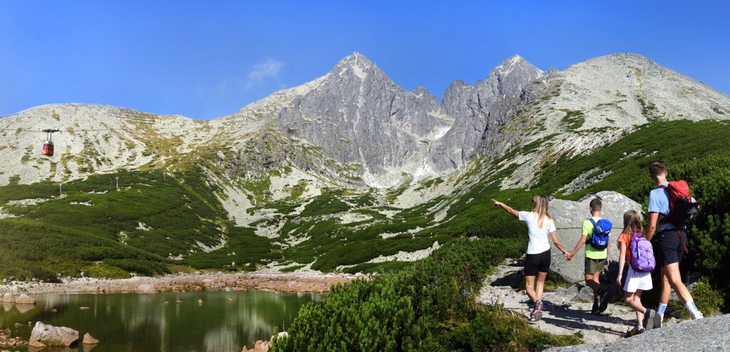
Hiking trails will take you to mountain lakes, waterfalls, mountain huts, and the peaks of the Tatra Mountains. Choose from easy walks to more challenging hikes and discover the region’s beauty step by step.




Must-See Places. Discover them one by one
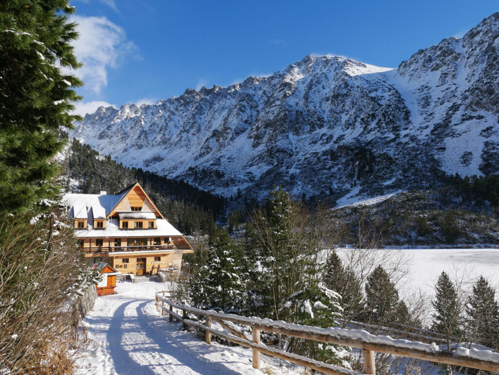
Every corner of the Tatra Mountains has its own story. Discover the places that shape the character of the region.




The Tatra Mountains wake up differently every day
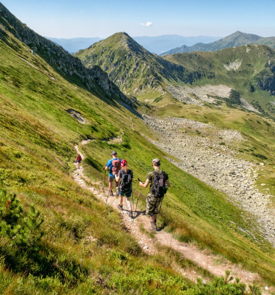
Current conditions, upcoming events, and editorial recommendations. Everything you need to know before heading to the Tatras.

Webcams
Poprad
4°C
Clear

Lomnický štít
-4°C
Clear
Tatranská Lomnica
3°C
Clear
Starý Smokovec
3°C
Clear
Hrebienok
2°C
Clear
Štrbské Pleso
3°C
Clear
Skalnaté pleso
1°C
Clear
Solisko
0°C
Clear


Everything You Need to Know Before Your Trip
Answers to the most frequently asked questions about the High Tatras region.