5859 – Podbanské – Tichá Valley
A peaceful ride through the wilderness below Kriváň



One-way route length
Elevation of the destination
Estimated travel time
From Podbanské along Tichý Creek all the way to the foot of Kasprov Hill
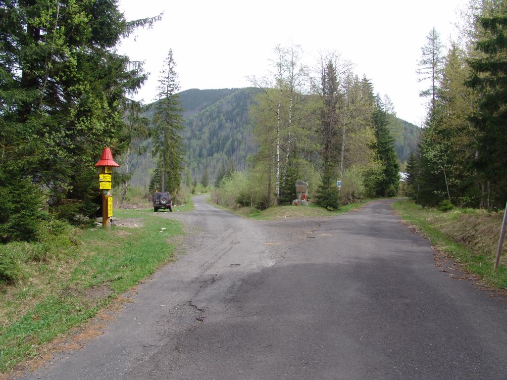
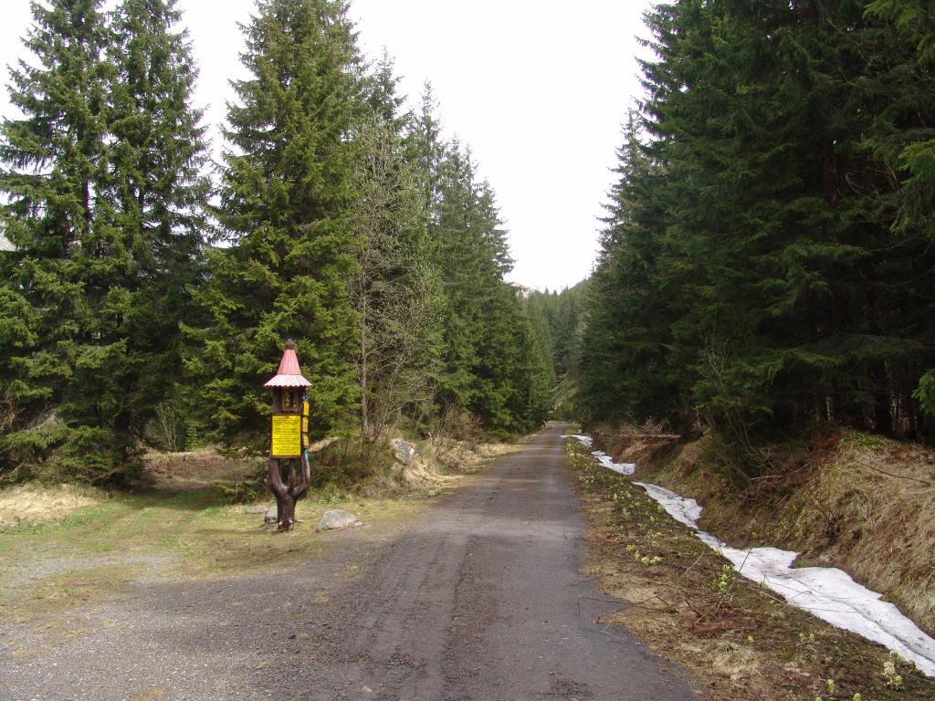
The route begins at the free parking lot in Podbanské and follows a well-maintained paved bike path. After a gentle climb, you’ll cross a wooden bridge over the Belá River and continue along the Tichý Stream, past the Tichá forest ranger station, all the way to the peaceful Tichá Valley.
Thanks to its gentle slope, the route is also suitable for families with children and child bike trailers. It ends at the fork in the road below Kasprový Hill at an elevation of 1,265 meters above sea level, where hiking trails continue. If you return via the same route, the total distance will be approximately 24 kilometers.
What We Offer

Trasa a výškový profil
What do you need to know before you arrive?
Please read this before your visit
The route is approximately 12 km one way. When planning your trip, therefore, expect a total distance of approximately 24 km round trip.
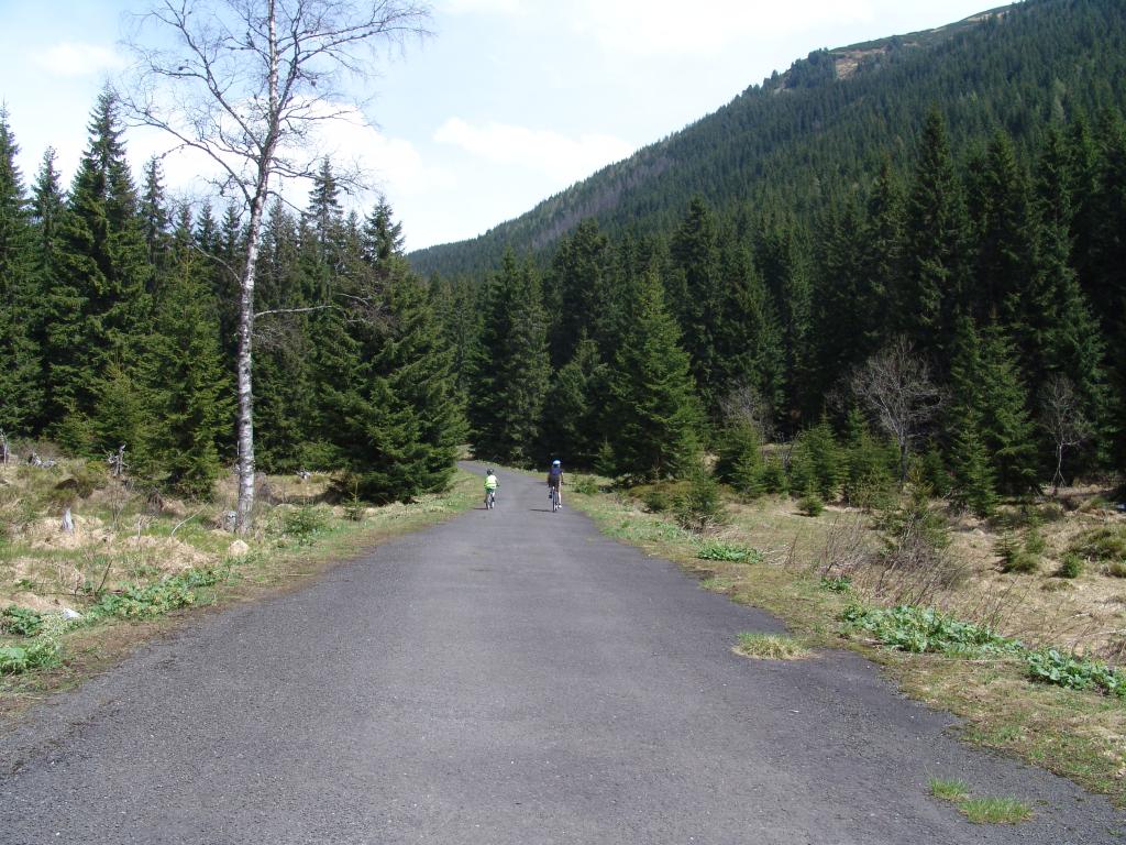
The paved surface and gentle slope make for a comfortable ride, even for families with children. The bike path is also suitable for child bike trailers, but you should take the total length of the return trip into account.
The bike trail ends at the fork in the trail below Kasprov Hill at an elevation of approximately 1,265 meters above sea level. Other trails leading to Kasprov Hill are intended for hikers.
12 km through the peaceful Tichá Valley below Kriváň
Bike Trail 5859 begins at the parking lot in Podbanské and follows a well-maintained paved road to Tichá Valley. Its gentle gradient, peaceful natural surroundings, and high-quality surface make it a pleasant outing for recreational cyclists, families with children, and seniors alike.
After crossing the wooden bridge over the Belá River, the route continues along the Tichý Stream. It passes by the Tichá forest ranger station and continues deeper into the valley to the fork in the road below Kasprový Hill.
From Podbanské to the Valley
The trip begins at the free parking lot in the village of Podbanské. After a short, gentle climb, you’ll cross the Belá River and continue along a well-maintained paved bike path into the mountainous terrain.
Along the Tichý Stream
The route follows the Tichý Stream through a forested landscape known for its wild nature and rich fauna. The gentle slope allows you to enjoy the ride without any technically challenging sections.
Valley Junction
At the Tichá forest ranger station, the path splits. One branch leads to the Kôprová Valley, while Bike Trail 5859 continues through the Tichá Valley.

Tak to u nás vyzerá. Pozrite sa
Explore the region on two wheels
The Tatra Mountains offer an extensive network of bike trails for every type of cyclist—from easy trails in the foothills to challenging mountain loops with views that make every strenuous pedal stroke worthwhile.




Must-See Places. Discover them one by one
Every corner of the High Tatras has its own story. Discover the places that shape the character of the region.




The Tatra Mountains wake up differently every day
Current conditions, upcoming events, and editorial recommendations. Everything you need to know before heading to the Tatras.

Webcams
Poprad
2°C
Mostly clear

Lomnický štít
-6°C
Overcast

Tatranská Lomnica
0°C
Mostly clear
Starý Smokovec
1°C
Mostly clear
Hrebienok
0°C
Mostly clear
Štrbské Pleso
1°C
Partly cloudy
Skalnaté pleso
-1°C
Overcast
Solisko
-1°C
Mostly clear


Everything You Need to Know Before Your Trip
Answers to the most frequently asked questions about the High Tatras region.