To Slovakia’s Highest Peak
Tatranská Polianka – Sliezsky Dom – Gerlachovský Peak



Route Length
Difficulty
Estimated time
Ascent of Gerlach accompanied by a mountain guide
The route begins in Tatranská Polianka and follows a green-marked trail through the forest landscape of the Velická Valley to the Sliezsky House, which is located near Velické Pleso at an elevation of 1,670 meters above sea level. From there, the route continues off the marked hiking trail into technically challenging high-mountain terrain.
The classic summer ascent leads through Velická Próba and Gerlachovský Kotol to the summit of Gerlachovský Štít. The descent usually continues through the Batizovský Gully and the Batizovská Próba to the Batizovská Valley, from where the route returns around Batizovské Lake to the Sliezsky House. The specific route is determined by the mountain guide based on the weather, terrain conditions, and the client’s abilities.
What can you experience and see along the route?

What do you need to know before you arrive?
Please read this before your visit
There is no marked hiking trail leading to Gerlachovský štít. Non-climbers may enter this area only when accompanied by a mountain guide; independent travel is permitted only for professionally qualified climbers who comply with TANAP regulations.
The 6 hours mentioned above is an estimate. The official description of the classic ascent from Sliezsky Dom states that, depending on conditions, the hike takes approximately 8 to 10 hours, and the trek from Tatranská Polianka further extends the total duration of the trip.
Wet rock, ice, strong winds, or storms can make the climb significantly more difficult. The mountain guide may change the route, shorten it, or cancel the climb for safety reasons.
From Tatranská Polianka to the Roof of Slovakia
Tatranská Polianka lies at an elevation of approximately 1,005 meters above sea level. The first part of the ascent heads toward Sliezsky House at an elevation of 1,670 meters above sea level and covers an elevation gain of approximately 675 meters. It runs mostly through forested terrain and forms a long approach to the Gerlach Massif itself.
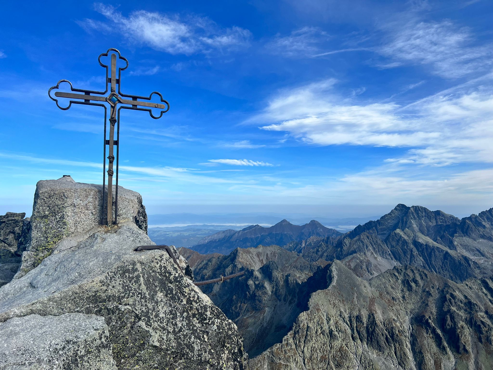
The most technically demanding section begins at Sliezsky House. The classic route covers an elevation gain of approximately 1,035 meters, leading through steep rocks, gullies, and exposed traverses all the way to the summit. After reaching an elevation of 2,655 meters above sea level, a long descent follows down the Batizovská side, leading back to the Velická Valley.
Trail Markings and Navigation
Green trail
Tatranská Polianka – Velická Poľana – Sliezsky Dom.
Unmarked guided route
Sliezsky dom – Velická próba – Gerlachovský kotol – Gerlachovský štít.
Unmarked descent
Gerlachovský štít – Batizovský žľab – Batizovská próba – Batizovské pleso – Sliezsky dom.
Return
Sliezsky dom – Tatranská Polianka along the green-marked trail.
Key points along the route
Tatranská Polianka
Velická Poľana
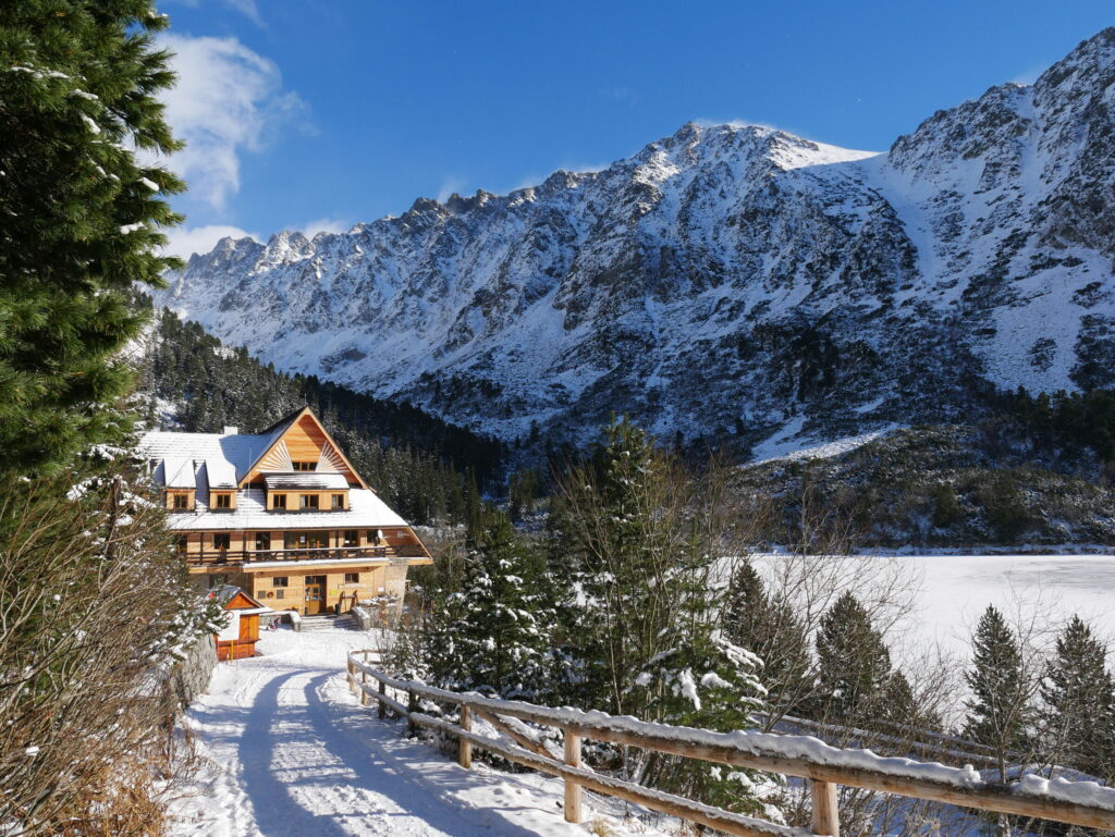
Sliezsky House
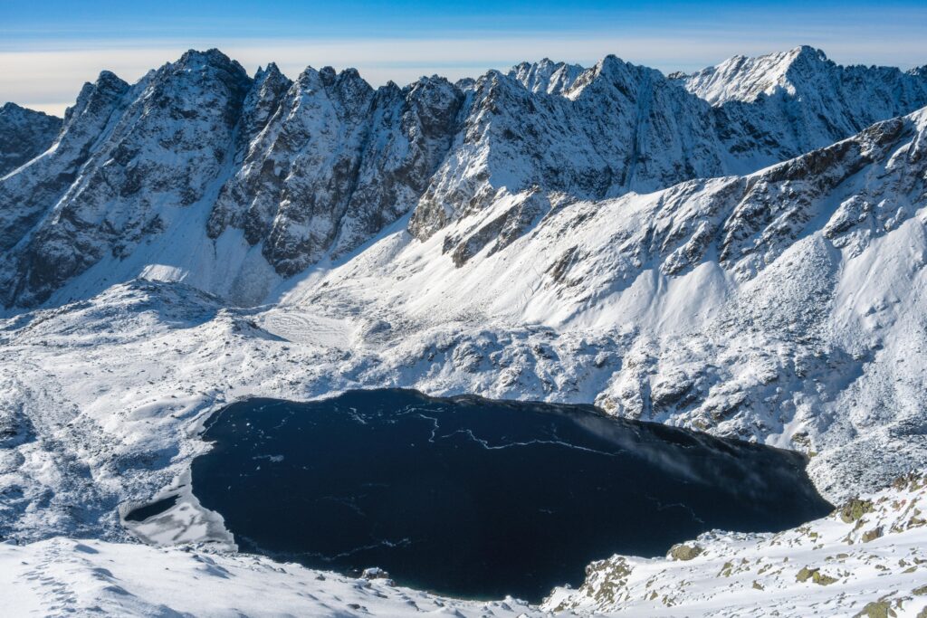
Velické Lake
Velická Próba
Sedielko above Kotlo
Gerlachovský Kotol
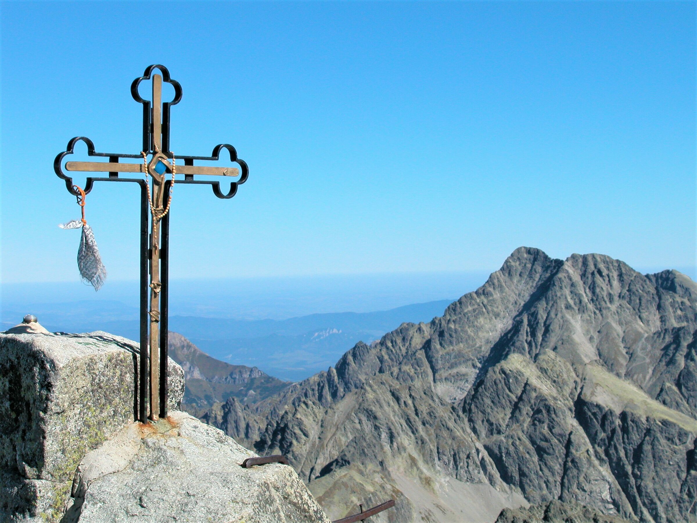
Gerlachovský Peak


That's how it looks here. Take a look


Set out to discover the beauty of the Tatra Mountains
Hiking trails will take you to mountain lakes, waterfalls, mountain huts, and the peaks of the Tatra Mountains. Choose from easy walks to more challenging hikes and discover the region’s beauty step by step.


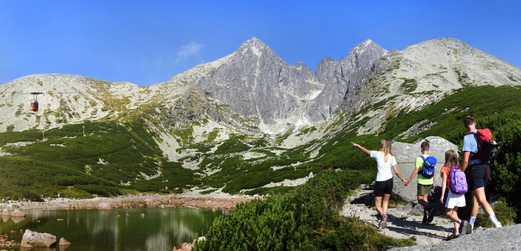


Must-See Places. Discover them one by one
Every corner of the Tatra Mountains has its own story. Discover the places that shape the character of the region.
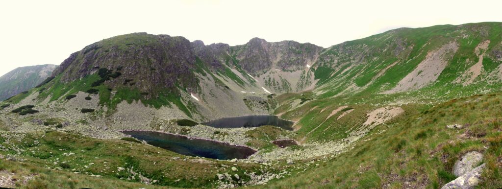




The Tatra Mountains wake up differently every day
Current conditions, upcoming events, and editorial recommendations. Everything you need to know before heading to the Tatras.

Webcams
Poprad
3°C
Clear

Lomnický štít
-6°C
Mostly clear

Tatranská Lomnica
0°C
Clear
Starý Smokovec
1°C
Clear
Hrebienok
0°C
Clear
Štrbské Pleso
1°C
Partly cloudy
Skalnaté pleso
-1°C
Mostly clear
Solisko
-2°C
Mostly clear


Everything You Need to Know Before Your Trip
Answers to the most frequently asked questions about the High Tatras region.