5860 – Tatranská Lomnica – Start
A short hike to the Štart intermediate station



A short but continuous climb
Elevation Gain During the Ascent
Estimated travel time
From Tatranská Lomnica along winding roads up to an elevation of 1,170 meters above sea level.
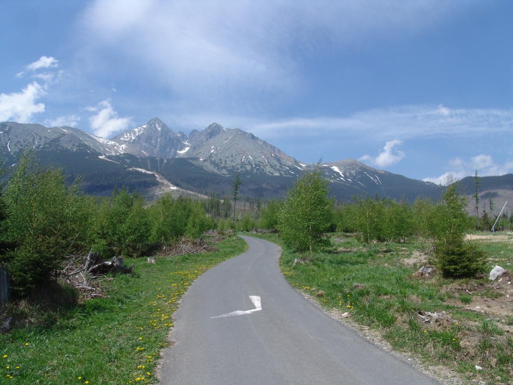
The bike trail begins at the parking lot by the cable cars in Tatranská Lomnica and climbs along a paved road through switchbacks alongside the ski slopes. The technically easy terrain is suitable even for recreational cyclists, though the continuous climb will test your fitness.
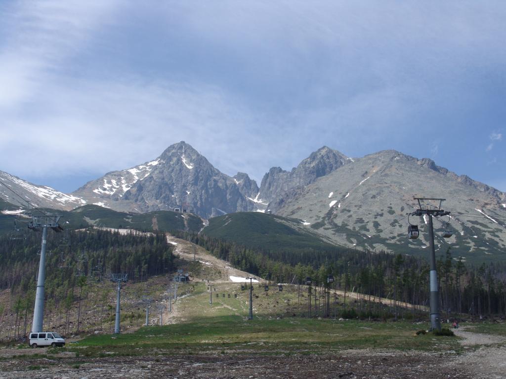
The route ends at the Štart cable car mid-station at an elevation of 1,170 meters above sea level, where you can grab a bite to eat at the snack bar. From there, you can return to Tatranská Lomnica or continue along the connecting bike trails to the Grandhotel Praha and the Cesta slobody.
What We Offer

Trasa a výškový profil
What do you need to know before you arrive?
Please read this before your visit
Over the course of 4.2 km, you’ll climb approximately 300 meters in elevation. The route isn’t technically challenging, but the continuous climb will test even recreational cyclists’ stamina.
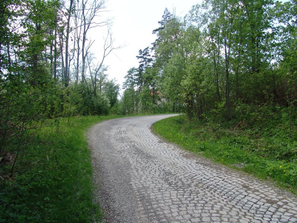
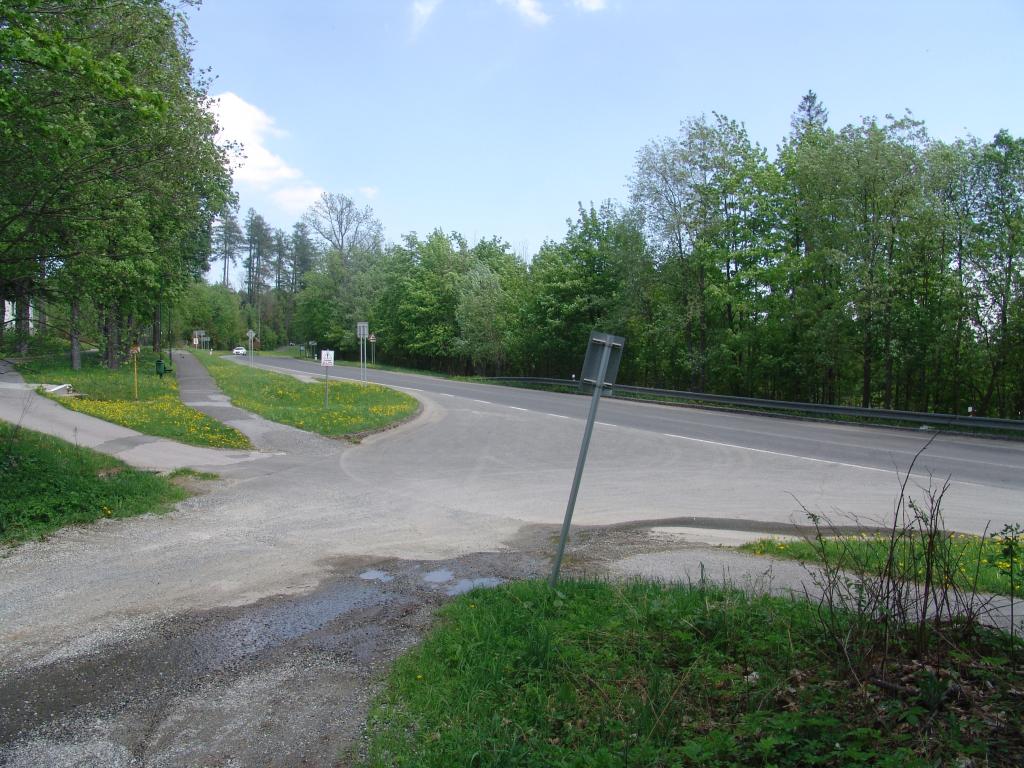
The hike begins at the parking lot by the chairlifts in Tatranská Lomnica. Go around the resort on the right and then continue along the paved road that runs alongside the ski slopes.
At the Štart rest stop, you can grab a bite to eat and head back to Tatranská Lomnica. You can also continue along the connecting bike trails toward the Grand Hotel Praha and the Cesta slobody.
More than 300 meters in elevation from Tatranská Lomnica to Štart
Bike Trail 5860 connects the center of Tatranská Lomnica with the intermediate station of the Štart cable car at an elevation of approximately 1,170 meters above sea level. A short paved climb winds along the ski slopes and offers views of the surrounding Tatra peaks.
The paved surface and technically easy route make it suitable even for less experienced cyclists. However, the continuous climb requires a reasonable level of fitness and a steady pace.
Winding Road Along the Ski Slopes
From the parking lot by the cable cars, the route continues along an asphalt road that gradually winds through the mountainous landscape. The climb is steady and free of technically challenging terrain.
Štart Intermediate Station
The destination of the ride is the Štart cable car intermediate station. There is a snack bar here and a place to rest before returning or continuing on to the next route.
Connections to Other Routes
From Štart, you can return to Tatranská Lomnica via the green-marked trail. Another option is to connect to the yellow bike trail leading to the Grand Hotel Praha and then to Cesta slobody.

Tak to u nás vyzerá. Pozrite sa
Explore the region on two wheels
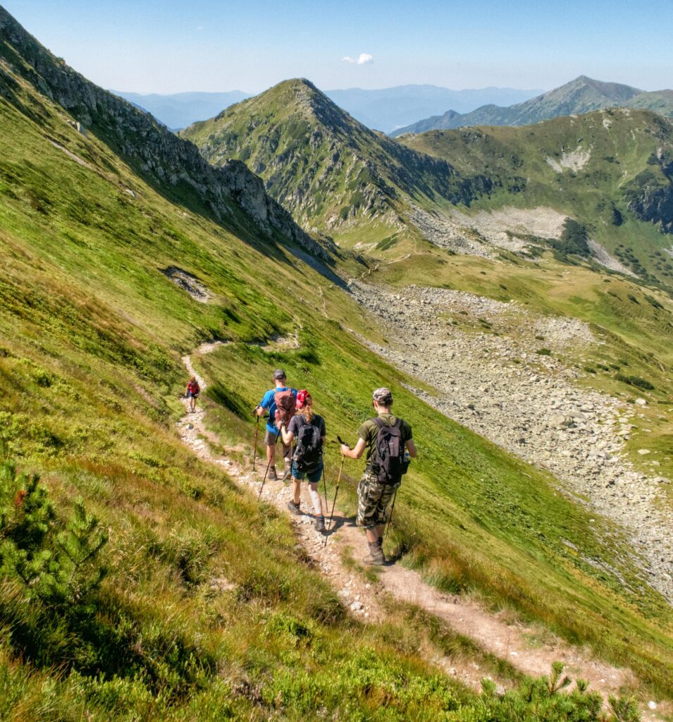
The Tatra Mountains offer an extensive network of bike trails for every type of cyclist—from easy trails in the foothills to challenging mountain loops with views that make every strenuous pedal stroke worthwhile.




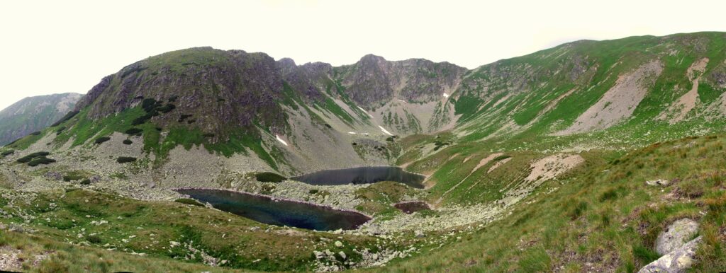
Must-See Places. Discover them one by one
Every corner of the High Tatras has its own story. Discover the places that shape the character of the region.
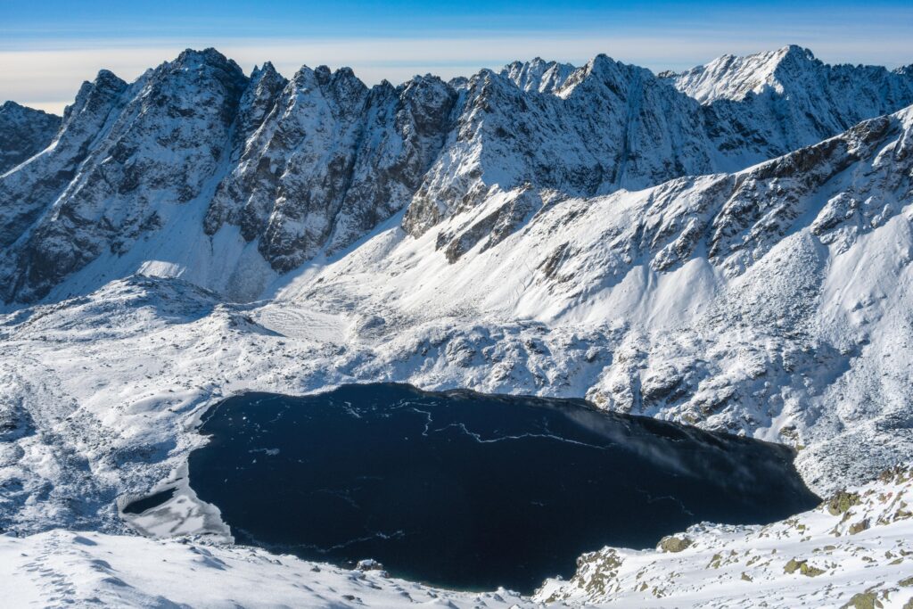




The Tatra Mountains wake up differently every day
Current conditions, upcoming events, and editorial recommendations. Everything you need to know before heading to the Tatras.

Webcams
Poprad
2°C
Mostly clear

Lomnický štít
-6°C
Overcast

Tatranská Lomnica
0°C
Mostly clear
Starý Smokovec
1°C
Mostly clear
Hrebienok
0°C
Mostly clear
Štrbské Pleso
1°C
Partly cloudy
Skalnaté pleso
-1°C
Overcast
Solisko
-1°C
Mostly clear


Everything You Need to Know Before Your Trip
Answers to the most frequently asked questions about the High Tatras region.