Hike to Kriváň from Štrbské Pleso
Štrbské Pleso – Jamské Pleso – Krivánsky žľab – Kriváň



Total length of the route
A Challenging High-Altitude Hike
Estimated round-trip time
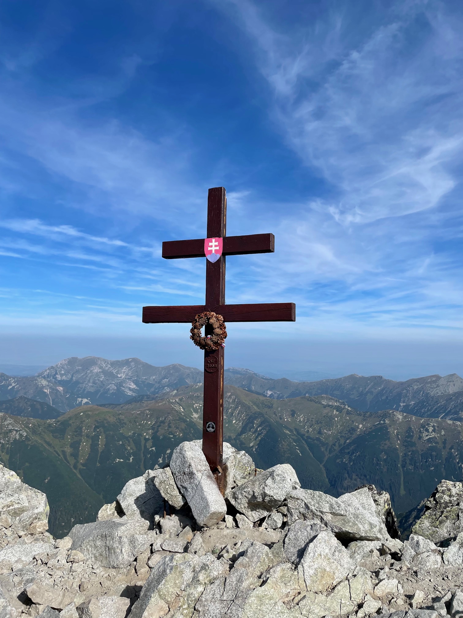
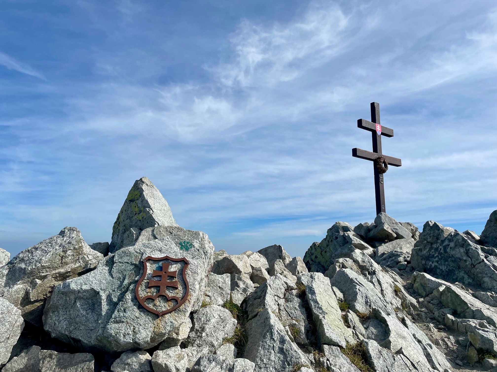
One of Slovakia's symbols
The trail begins at Štrbské Pleso and follows the red-marked Tatra Main Trail through the forest to Jamské Pleso. The initial section is gentler and offers a more peaceful walk through the Tatra landscape before a steep ascent to higher elevations.
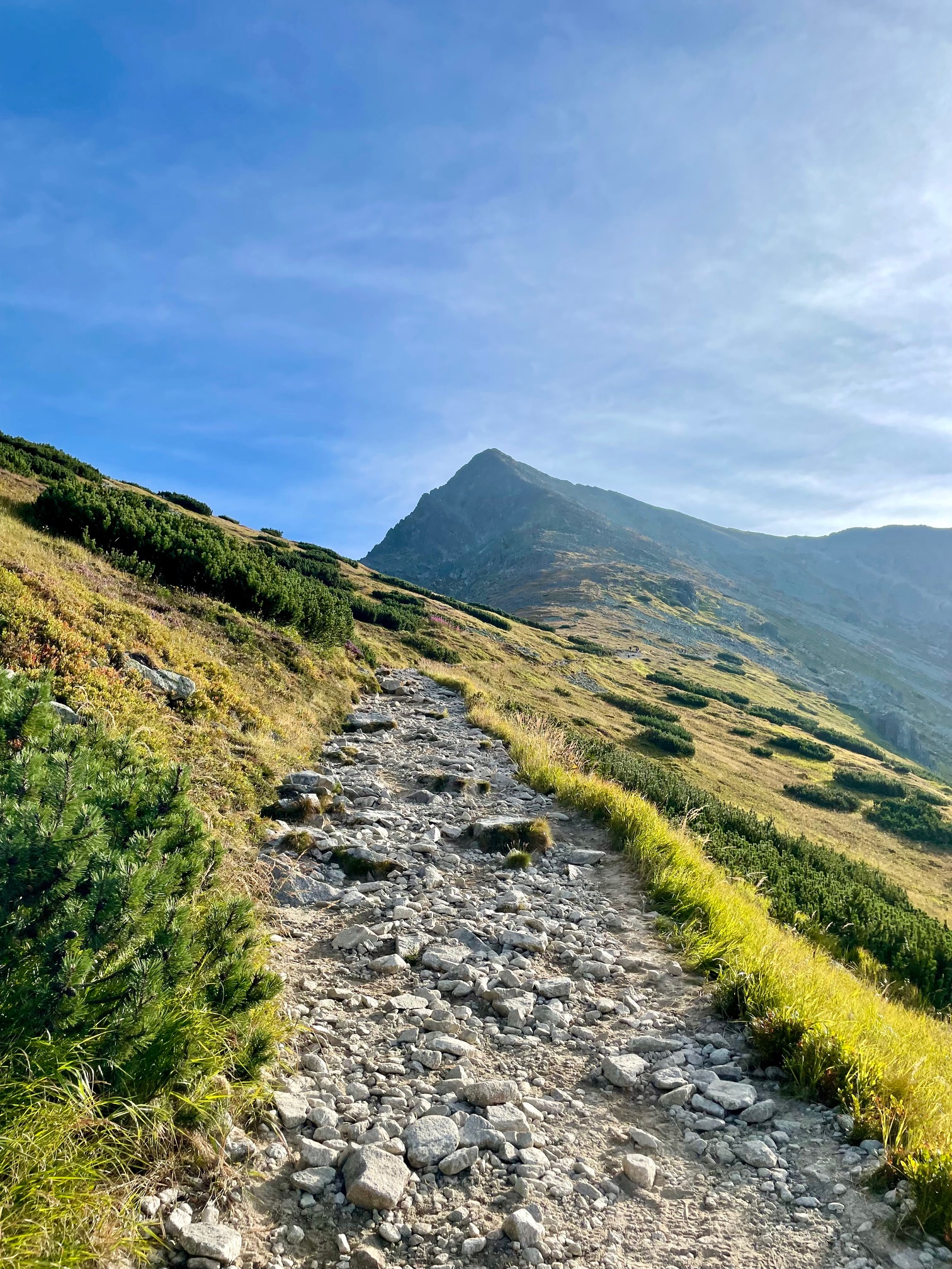
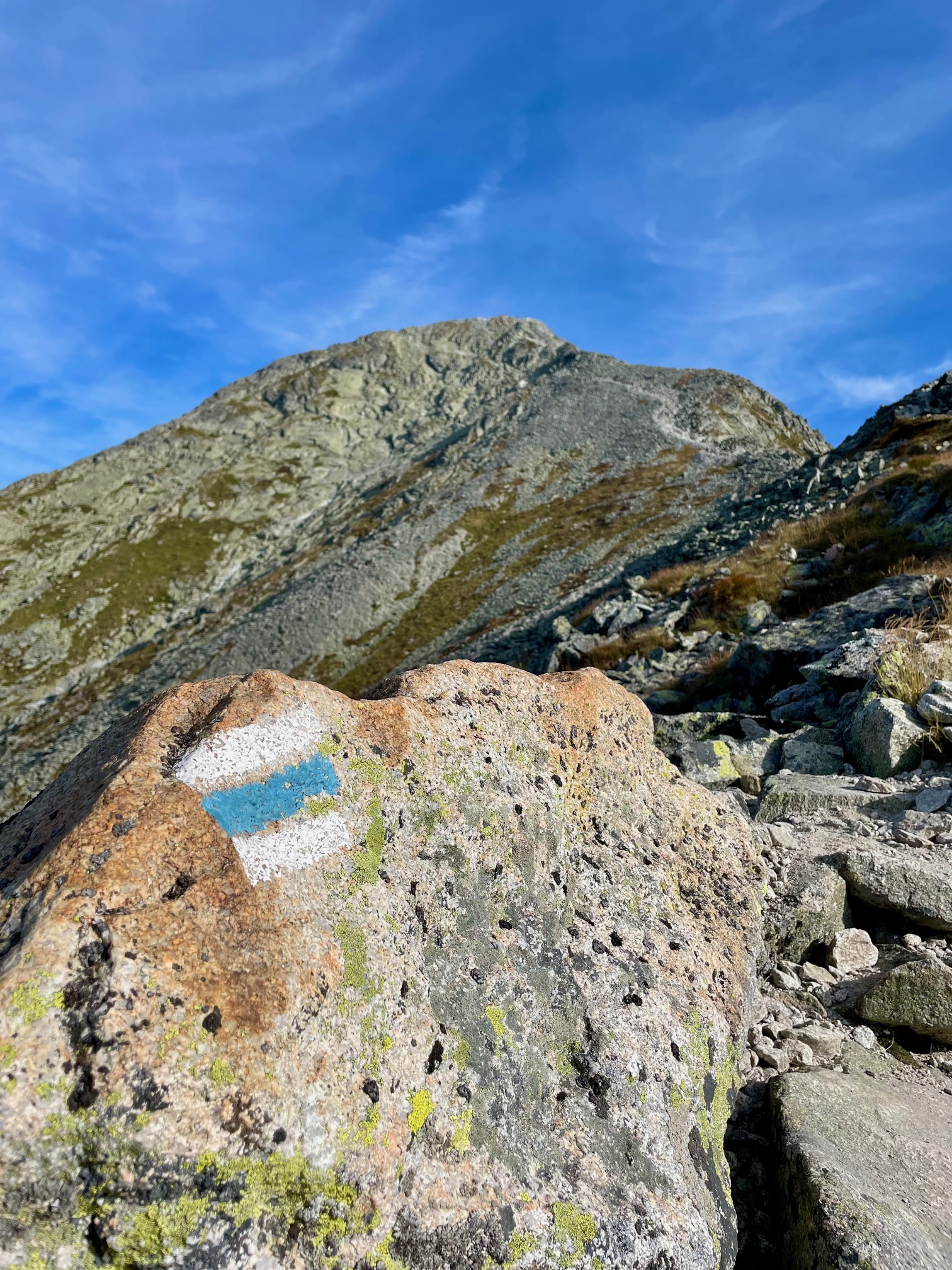
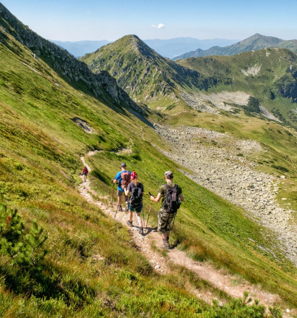
At the fork near Jamské Pleso, the trail joins the blue-marked path leading through dwarf pine scrub and rocky terrain toward the Kriváň Gully. The final ascent leads over scree, stone steps, and rocks all the way to the summit of Kriváň. The entire hike is approximately 18.4 kilometers long and covers an elevation gain of about 1,148 meters.
What do you need to know before you arrive?

Trasa a výškový profil
What do you need to know before you arrive?
Please read this before your visit
The blue-marked trail from Jamské pleso through Krivánsky žľab to the summit is closed from November 1 through May 31 of the following year.
The estimated time of 7 hours and 10 minutes does not include longer breaks or time spent at the summit. The hike requires good physical condition and plenty of time.
The upper section leads over scree, stone steps, and rocks. It does not include typical secured sections with chains, but it does require sure footing and extra caution.
From the forests to the summit ridge
From Štrbské Pleso, the trail initially follows the Tatra Main Trail at a gentler pace. The trail passes through wooded terrain and reaches an elevation of approximately 1,447 meters above sea level at Jamské Pleso. This section serves as a gentler introduction to the entire hike.
The main ascent begins at the trail junction near Jamské Pleso. The blue trail continues through dwarf pine scrub into open, rocky terrain and heads toward the Kriváň Gully. The final meters to the summit are the steepest and lead over rocks and scree. The highest point of the route is Kriváň at an elevation of 2,494 m above sea level.
Signage and Wayfinding Along the Route
Red Trail
Štrbské Pleso – Junction below Furkotská Valley – Jamské Pleso
Blue trail
: Trail junction at Jamské pleso – Krivánsky žľab – Kriváň
Return from
nd Kriváň – Jamské pleso – Štrbské Pleso via the same route. The blue-marked section between Jamské pleso, Krivánsky žľab, and the summit is an officially designated hiking trail.
Key Points Along the Route
Štrbské Pleso
Crossroads below the Furkotská Valley
Jamské Pleso
Crossroads near Jamské Pleso
Pavlov Ridge
Krivánsky Gully
Malý Kriváň
Kriváň

That's how it looks here. Take a look
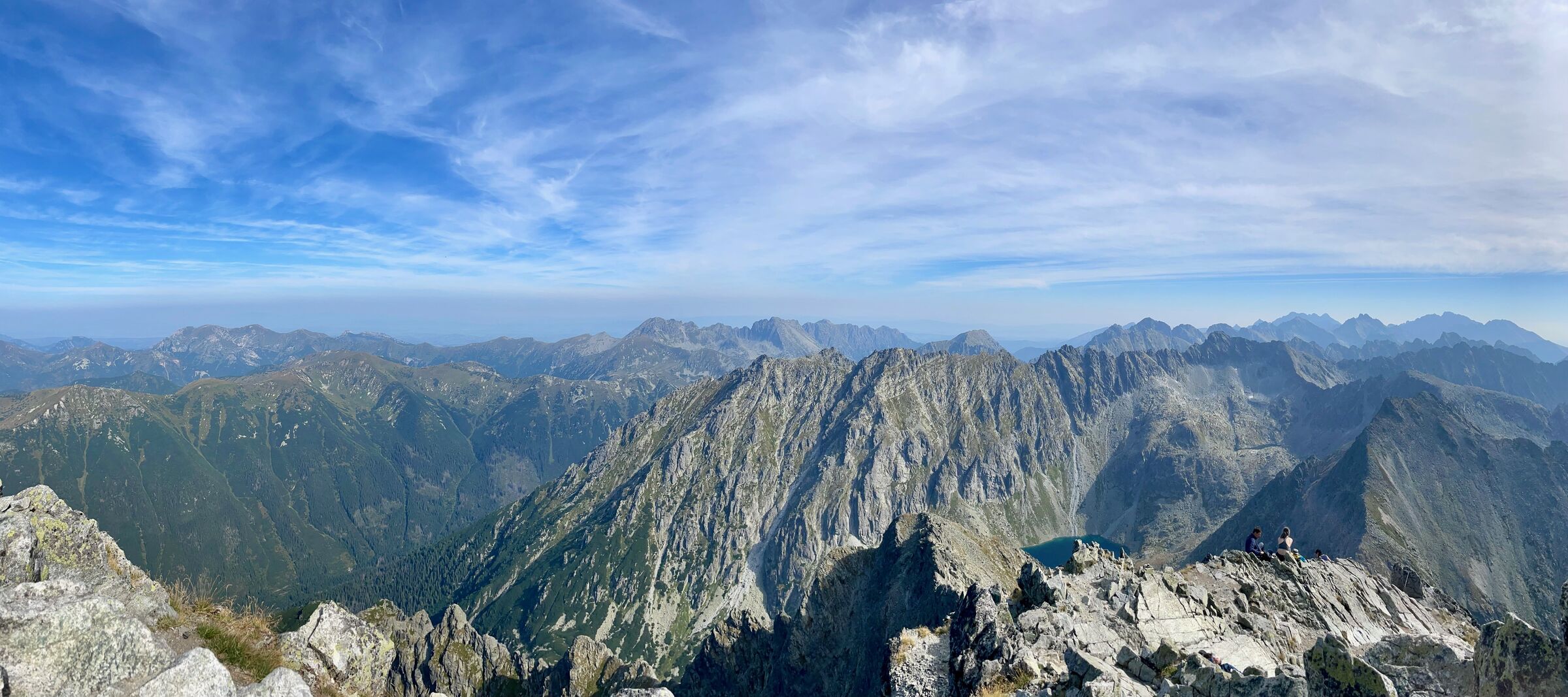
Set out to discover the beauty of the Tatra Mountains
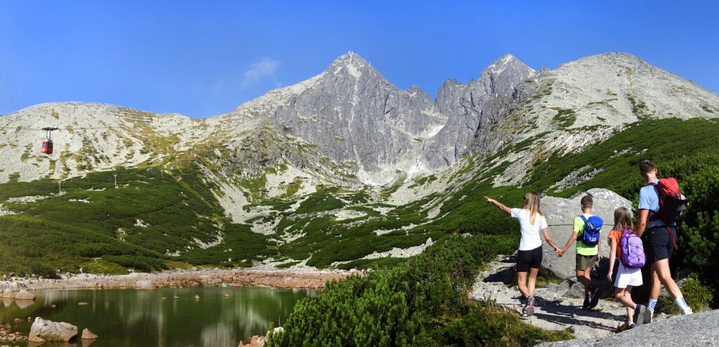
Hiking trails will take you to mountain lakes, waterfalls, mountain huts, and the peaks of the Tatra Mountains. Choose from easy walks to more challenging hikes and discover the region’s beauty step by step.




Must-See Places. Discover them one by one
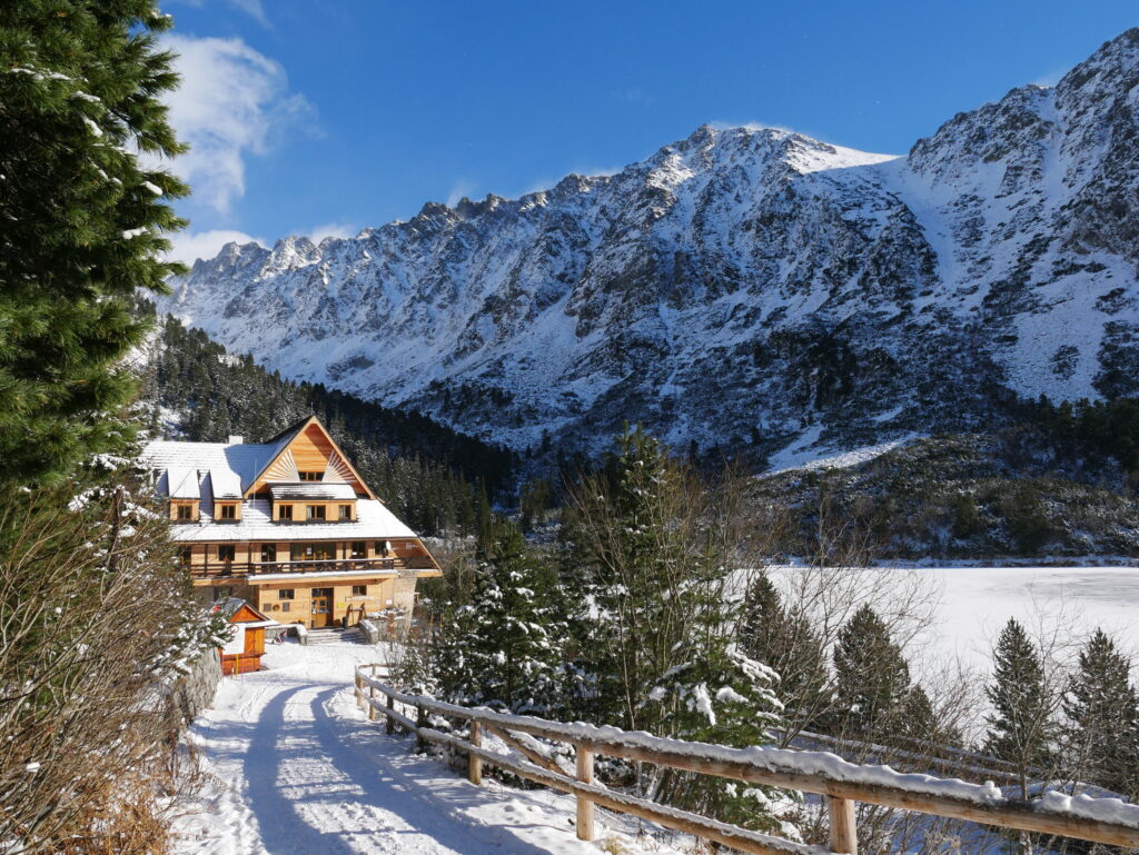
Every corner of the Tatra Mountains has its own story. Discover the places that shape the character of the region.




The Tatra Mountains wake up differently every day
Current conditions, upcoming events, and editorial recommendations. Everything you need to know before heading to the Tatras.

Webcams
Poprad
-1°C
Clear

Lomnický štít
-11°C
Clear
Tatranská Lomnica
-2°C
Overcast

Starý Smokovec
-1°C
Fog

Hrebienok
-2°C
Fog
Štrbské Pleso
-2°C
Clear
Skalnaté pleso
-4°C
Clear
Solisko
-5°C
Clear


Everything You Need to Know Before Your Trip
Answers to the most frequently asked questions about the High Tatras region.