Hike to Predné Solisko from Štrbské Pleso
Štrbské Pleso – Chata pod Soliskom – Predné Solisko



Route Length
Difficulty
Estimated time of ascent
An accessible peak above Štrbské Pleso
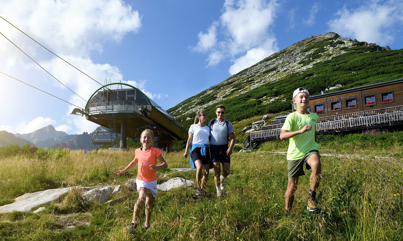
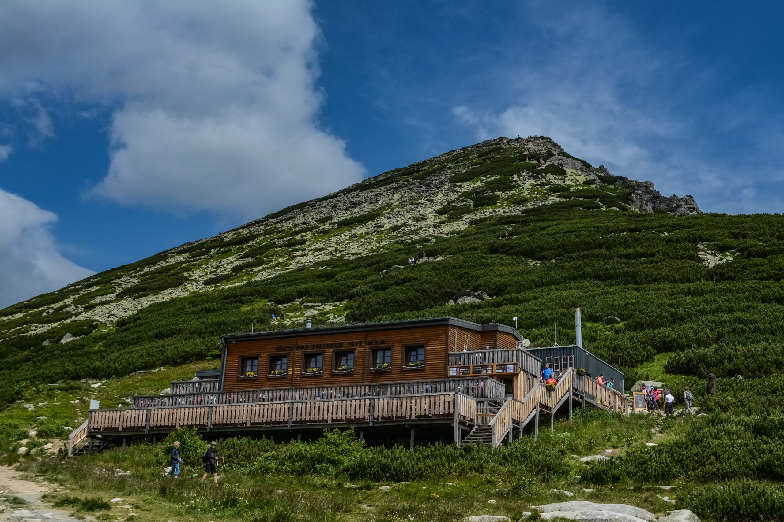
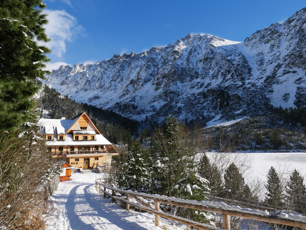
The hike begins at Štrbské Pleso, near the lower station of the chairlift. The trail initially winds through a forest, but gradually transitions to a rocky surface with stone steps. After about an hour and a half, you’ll reach Chata pod Soliskom, where you can rest and have a snack.
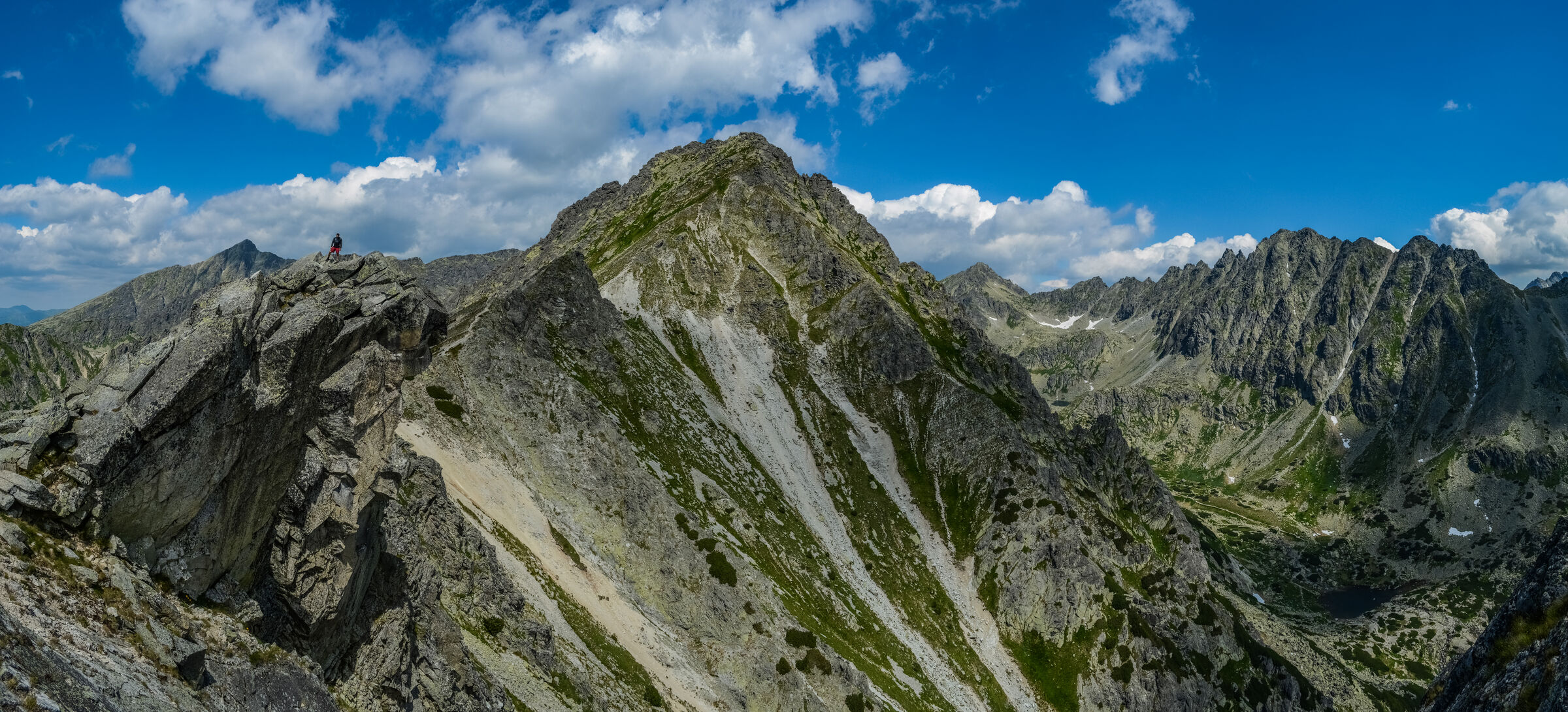
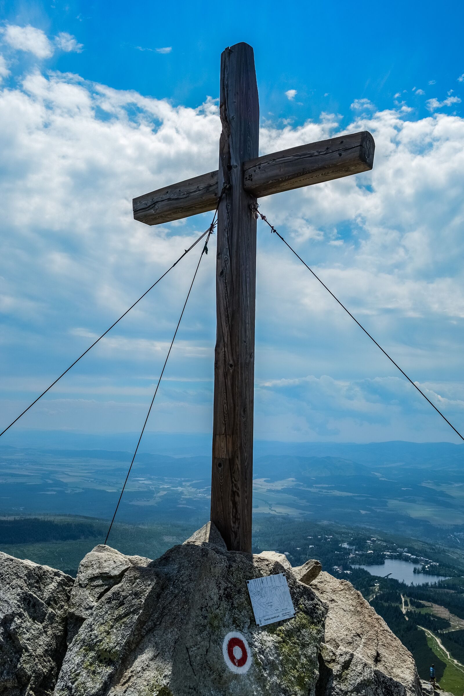
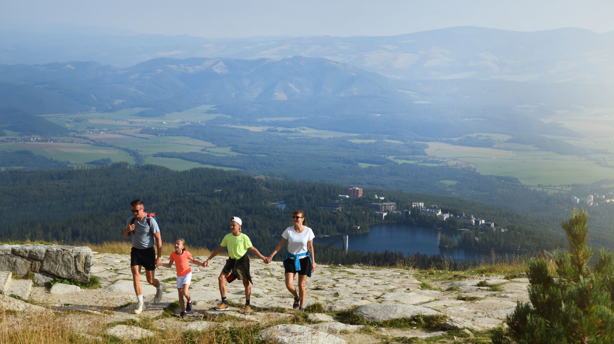
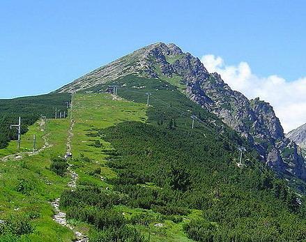
From the lodge, the red-marked trail continues to Predné Solisko. The final section leads through open mountain terrain over rocks, scree, and, in places, unpaved surfaces. The summit offers views of Štrbské Pleso, Kriváň, the Furkot Valley, and the Mlynická Valley.
What can you experience and see along the route?

Trasa a výškový profil
What do you need to know before you arrive?
Please read this before your visit
The blue-marked trail from Štrbské Pleso to Chata pod Soliskom is closed seasonally from November 1 through May 31. During this period, a temporary alternate route running alongside the ski slope may be open.
The section from the cabin to the summit follows a stone path, scree, and, in places, an unpaved surface. Extra caution is required in wet conditions or during strong winds.
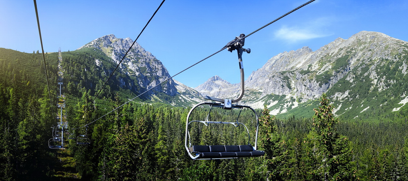
The entire route can be completed on foot. The chairlift is simply an option for shortening the ascent or descent, and its operation depends on the season and weather conditions.
From the forest trail to the open mountain ridge
From Štrbské Pleso, the trail initially winds through gentle forest terrain. As the elevation increases, the surface becomes rocky and stone steps appear. At Chata pod Soliskom, at an elevation of approximately 1,840 meters above sea level, the trail rises above the upper limit of continuous forest.
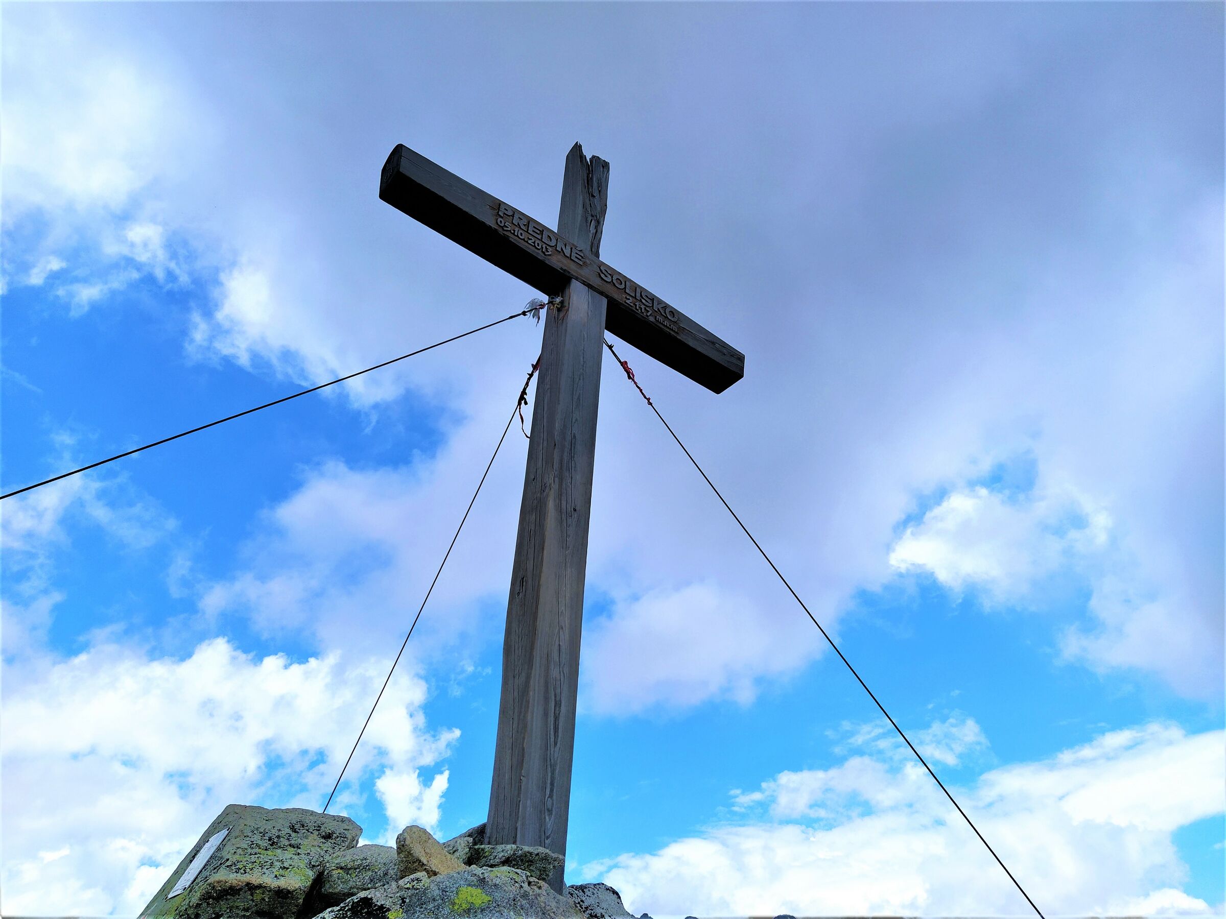
From the cabin, there is a shorter but steeper ascent along the red trail. The trail leads across an open slope and rocky scree up to Predné Solisko at an elevation of 2,117 meters above sea level. The total elevation gain from Štrbské Pleso is approximately 770 meters.
Signage and Wayfinding Along the Route
Blue Trail:
, Štrbské Pleso – Chata pod Soliskom
Red Trail
Chata pod Soliskom – Predné Solisko
Return from
: Predné Solisko – Chata pod Soliskom – Štrbské Pleso via the same route.
Key Points Along the Route
Štrbské Pleso
Lower station of the Solisko Express cable car
Path beneath the cable car
Mountain hut below Solisko
Upper station of the cable car
Solisko Ridge
Front Solisko

Hike to Predné Solisko from Štrbské Pleso
Set out to discover the beauty of the Tatra Mountains
Hiking trails will take you to mountain lakes, waterfalls, mountain huts, and the peaks of the Tatra Mountains. Choose from easy walks to more challenging hikes and discover the region’s beauty step by step.


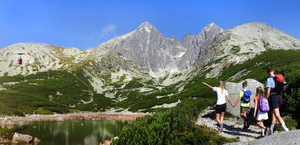


Must-See Places. Discover them one by one
Every corner of the Tatra Mountains has its own story. Discover the places that shape the character of the region.
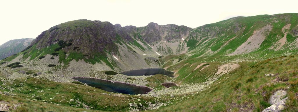
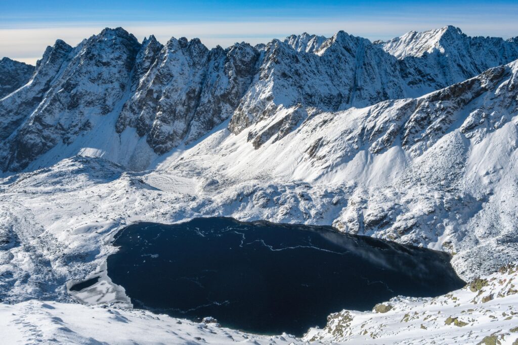


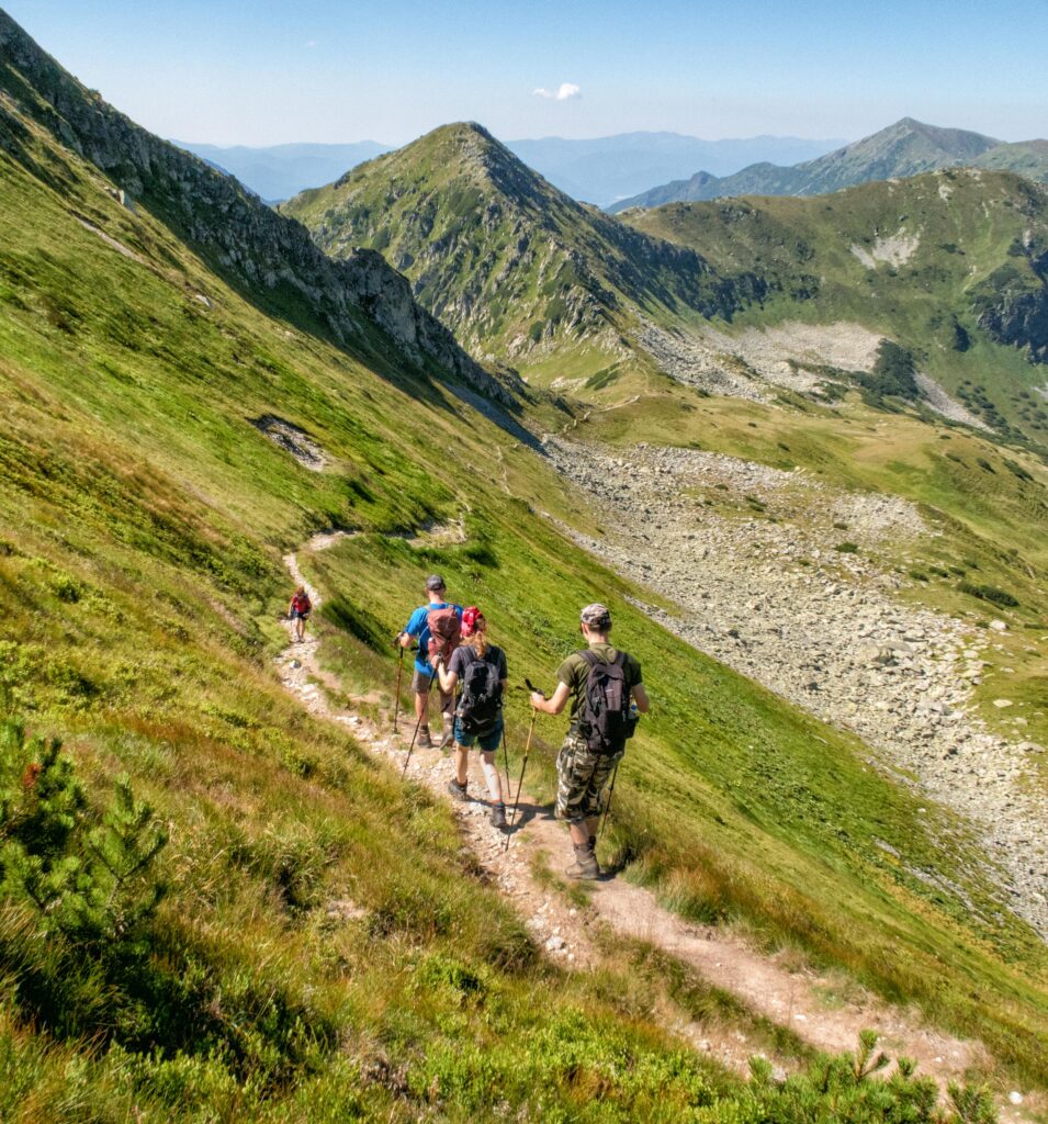


The Tatra Mountains wake up differently every day
Current conditions, upcoming events, and editorial recommendations. Everything you need to know before heading to the Tatras.

Webcams
Poprad
1°C
Clear

Lomnický štít
-7°C
Clear
Tatranská Lomnica
-2°C
Mostly clear

Starý Smokovec
2°C
Clear
Hrebienok
0°C
Clear
Štrbské Pleso
0°C
Clear
Skalnaté pleso
-1°C
Clear
Solisko
-4°C
Clear


Everything You Need to Know Before Your Trip
Answers to the most frequently asked questions about the High Tatras region.