Uphill Run in Honor of the Ján Still Memorial
Nová Lesná – Dolný Smokovec – Horný Smokovec – Starý Smokovec – Hrebienok



A continuous climb from the foothills to Hrebienok
Elevation difference between the start and the finish
A surface that is technically easy but physically demanding
From a village at the foot of the Tatra Mountains to the tourist center above Smokovce
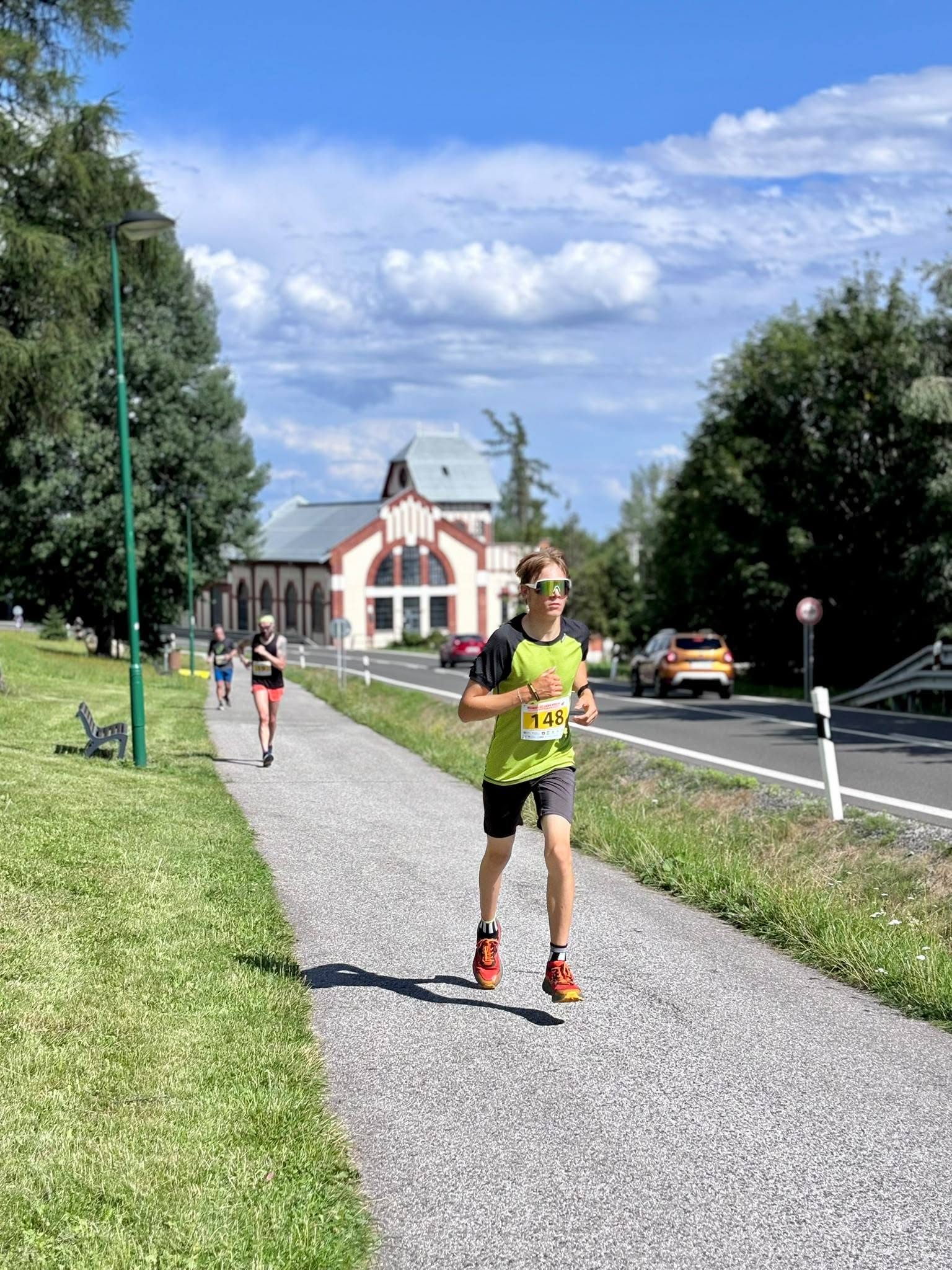
The running course connects the center of Nová Lesná with Hrebienok and follows the route of the traditional Ján Still Memorial. Over the course of 9.37 kilometers, it climbs almost continuously—from the streets of Nová Lesná through Dolný, Horný, and Starý Smokovec, all the way to the final ascent along a forest road to Hrebienok.
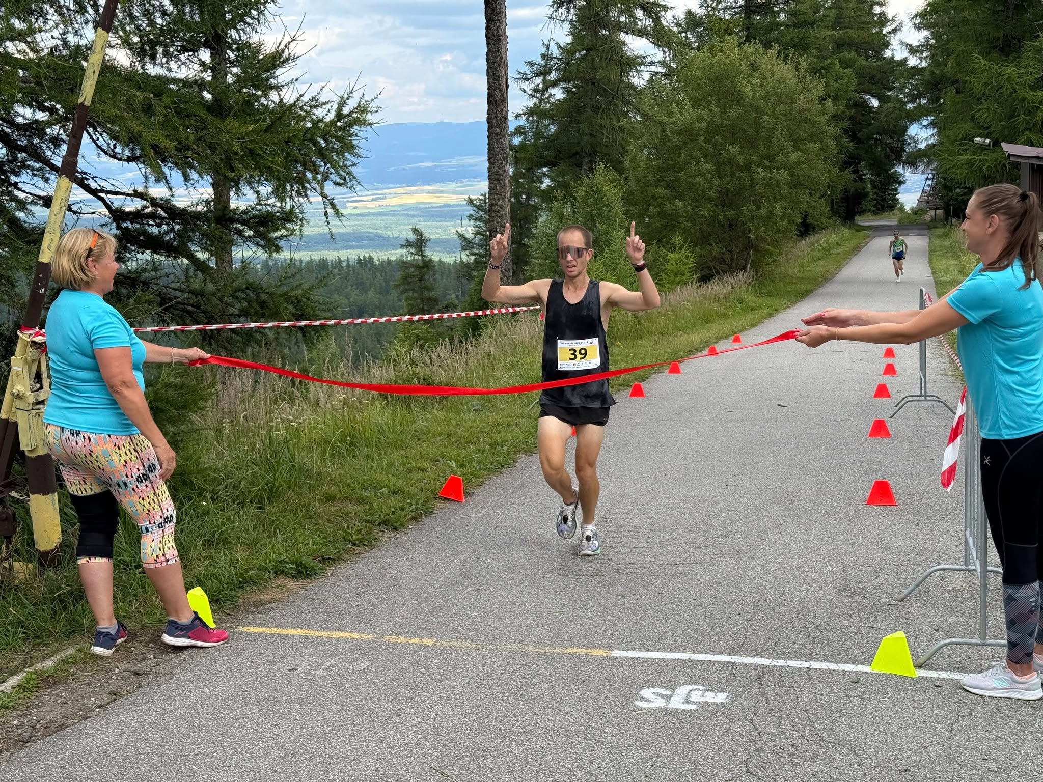
The course is technically simple but requires good endurance and proper pacing. The most challenging part is the final, nearly three-kilometer climb from Starý Smokovec to Hrebienok. The route is marked with yellow signs, and for individual runners, it ends at the ramp near the Hrebienok Mountain Hotel.
What can you experience and see along the route?

Trasa a výškový profil
What do you need to know before you arrive?
Please read this before your visit
The route begins at an elevation of approximately 747 meters above sea level and ends at Hrebienok at an elevation of 1,280 meters above sea level. Although it does not feature technically challenging mountain terrain, its nearly continuous elevation gain will test both your endurance and your ability to conserve energy.
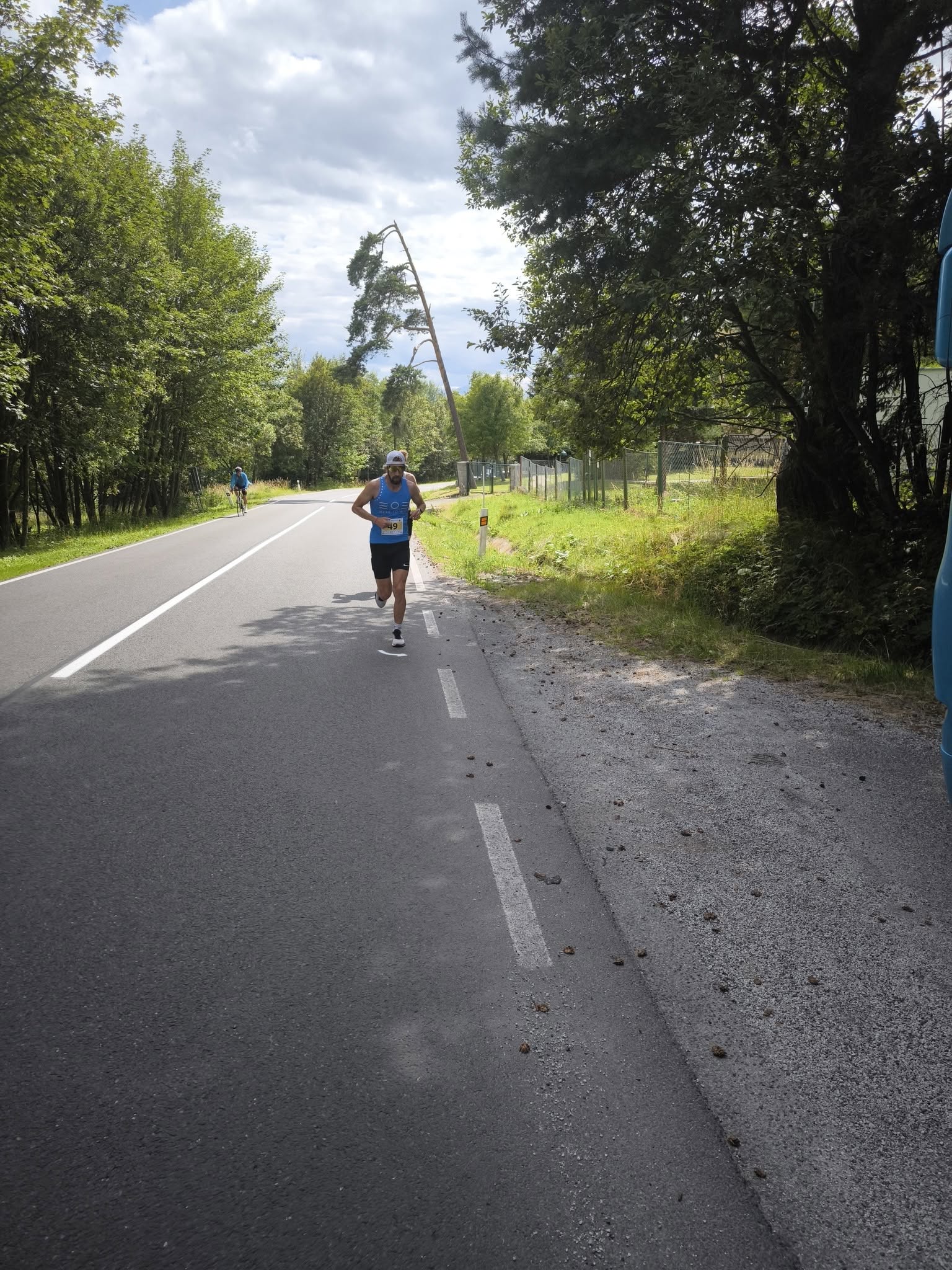
The entire route runs along paved streets, sidewalks, and an access road. Outside of organized races, these roads are not automatically closed to traffic; therefore, please follow traffic rules, use the sidewalks, and make sure you are visible.
The run ends at Hrebienok and does not return to the starting point. Before the start, therefore, plan your descent to Starý Smokovec and subsequent return to Nová Lesná, or be prepared to follow the same route back.
A nine-kilometer climb from the foothills to Hrebienok
The starting point in Nová Lesná is located at an elevation of approximately 747 meters above sea level, and the finish line at Hrebienok is at an elevation of 1,280 meters above sea level. The direct elevation difference is thus 533 meters.
A separate map of the “Tatry in Motion” trail lists the lowest point as 740 meters above sea level, the highest point as 1,265 meters above sea level, and a total elevation gain of 574 meters.
Course Route
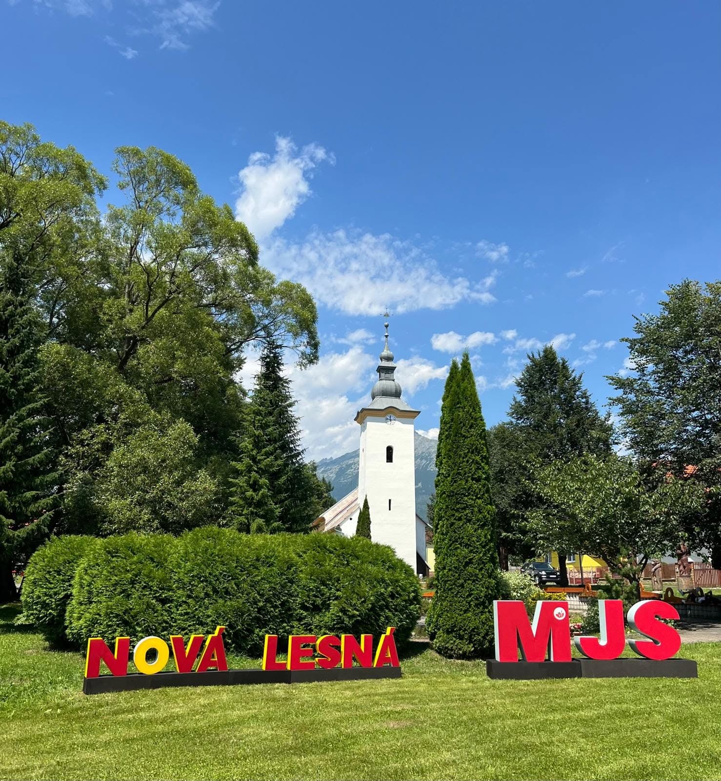
You’ll start the run in the center of Nová Lesná, near the Mountain Guides Park. The first kilometer takes you through the village streets, where you’ll join the road leading to Dolný Smokovec.
At the roundabout, take the first exit up the hill toward Horný Smokovec. The current route for the Ján Still Memorial runs through Pod lesom, Dolný Smokovec, Horný Smokovec, Pekná vyhliadka, and Starý Smokovec.
In Horný Smokovec, join the trail that runs alongside Cesta slobody. Then turn right and take the steps next to the Tatrašport Žampa Guesthouse to reach the paved access road.
Passing by Koliba Kamzík, continue along the forest trail leading to Hrebienok. The final stretch is an ascent of just under three kilometers, ending at the ramp near the Hrebienok Mountain Hotel.

Tak to u nás vyzerá. Pozrite sa
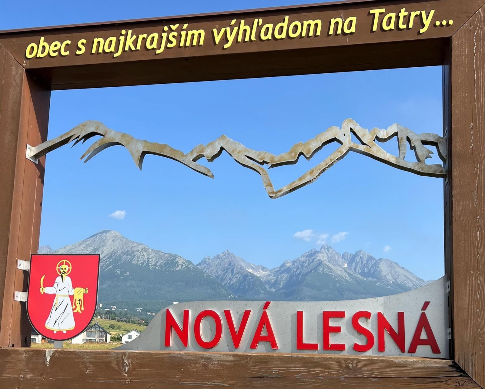
Explore the region in your running shoes
The Tatra Mountains offer a diverse network of running trails for both recreational and experienced runners—from easy trails in the foothills to challenging mountain loops with elevation gains and views that make every kilometer run well worth it.
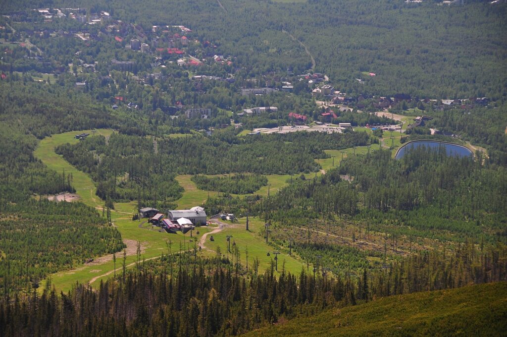


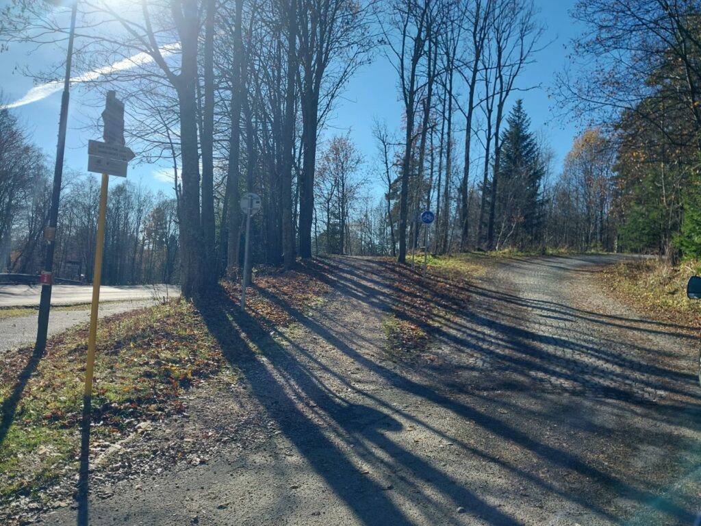


Must-See Places. Discover them one by one
Every corner of the Tatra Mountains has its own story. Discover the places that shape the character of the region.
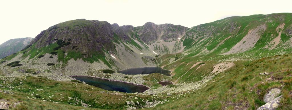




The Tatra Mountains wake up differently every day
Current conditions, upcoming events, and editorial recommendations. Everything you need to know before heading to the Tatras.

Webcams
Poprad
6°C
Mostly clear

Lomnický štít
-4°C
Overcast

Tatranská Lomnica
4°C
Overcast
Starý Smokovec
3°C
Overcast
Hrebienok
2°C
Overcast
Štrbské Pleso
3°C
Clear

Skalnaté pleso
1°C
Overcast
Solisko
-1°C
Clear


Everything You Need to Know Before Your Trip
Answers to the most frequently asked questions about the High Tatras region.