

2863 – Tatranská Lomnica – Nová Polianka
A Relaxing Drive Through the Tatra Mountains Region



The Route Between the Tatra Villages
Total elevation gain on the route
Estimated travel time
Forest Bike Trail Through the Villages at the Foot of the Tatra Mountains
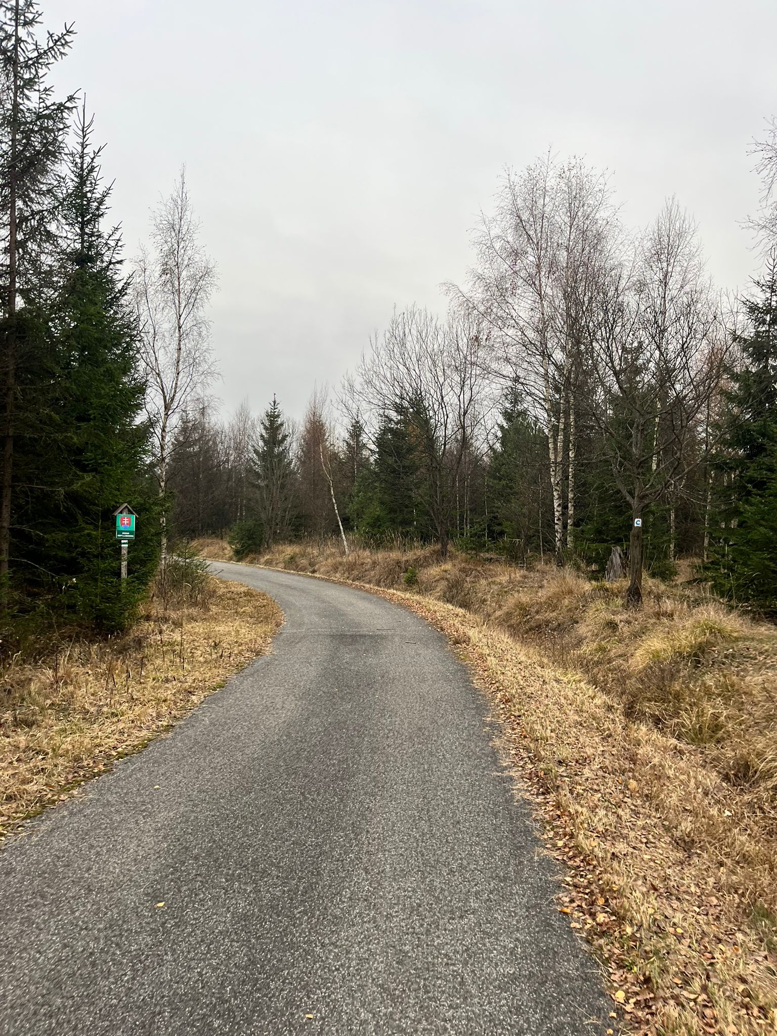
The bike trail runs from Tatranská Lomnica through Stará Lesná, Nová Lesná, Gerlachov, and Štôla all the way to Nová Polianka. Most of the route follows forest and paved roads, alternating between smoother sections and rockier terrain with more technically challenging descents.
The route is relatively easy physically, but in some places it will test your riding skills. Amid the forests and mountain meadows, views of the Tatra peaks open up, making it suitable even for recreational cyclists looking for a longer ride in nature.
What We Offer

Trasa a výškový profil
What do you need to know before you arrive?
Please read this before your visit
The route is less physically demanding, but some rocky sections and more technical descents require confidence in handling the bike. The total elevation gain is 531 m and the total elevation loss is 352 m.
Most of the route follows solid forest trails and paved roads. In some places, the surface becomes rougher and rockier, so we recommend a mountain bike or a properly equipped gravel bike.
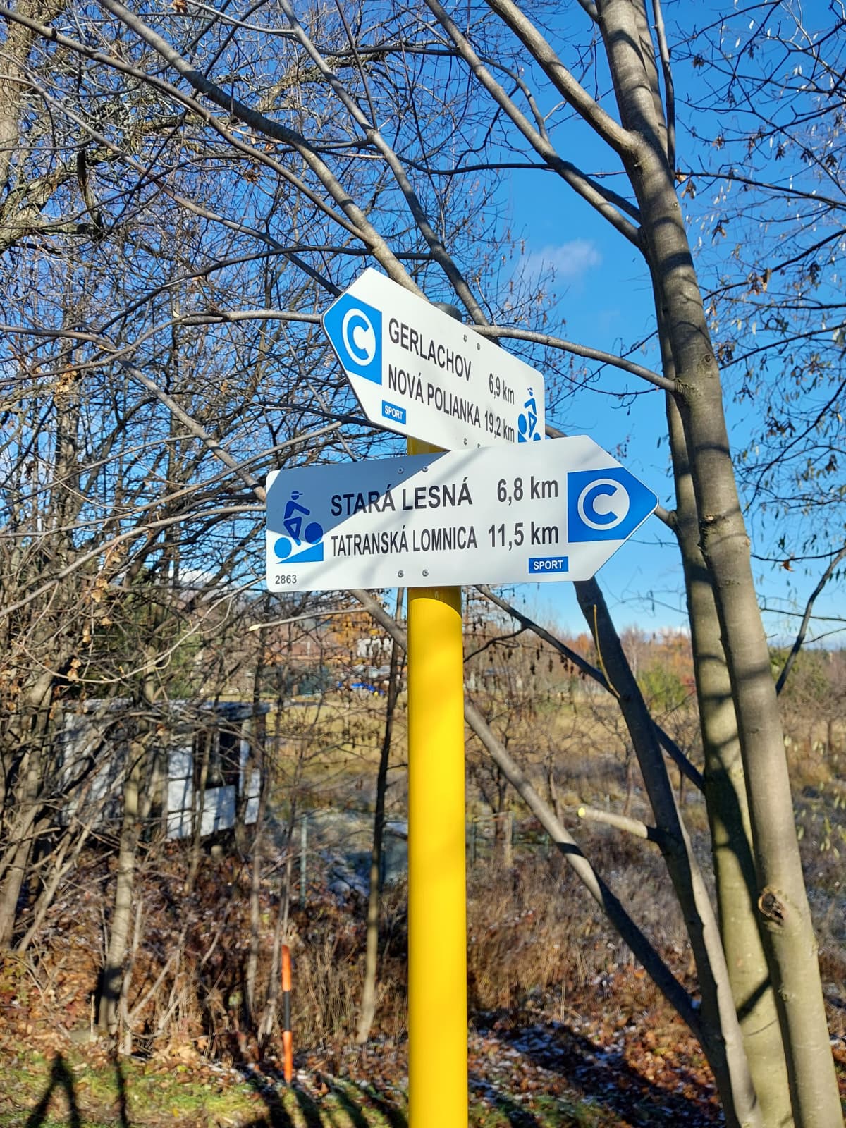
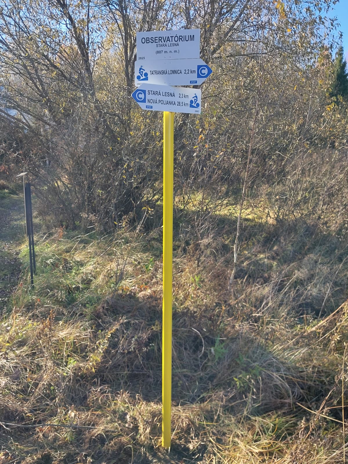
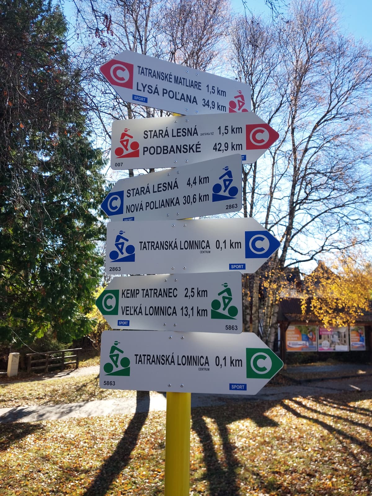
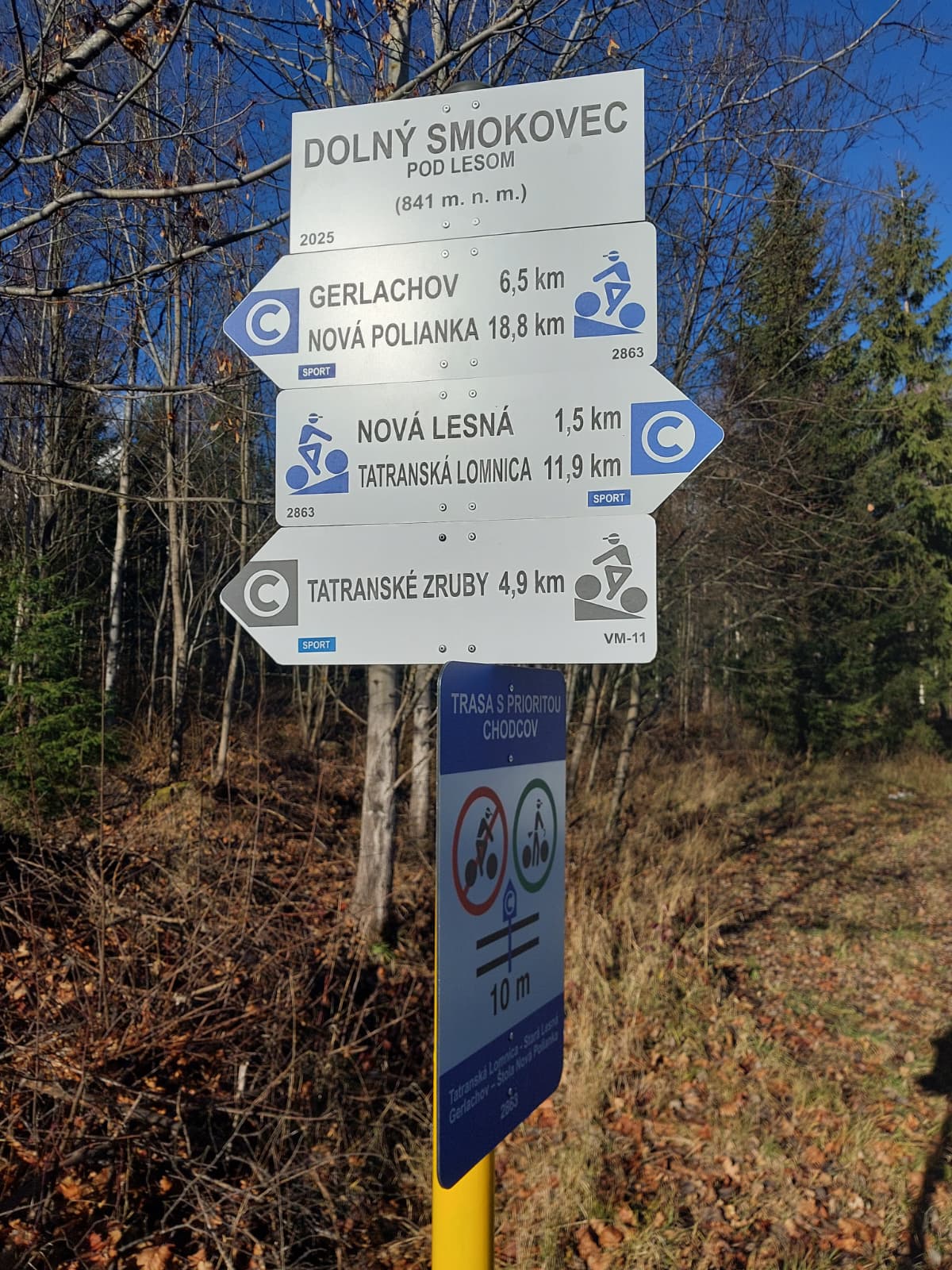
The bike trail connects Tatranská Lomnica with Nová Polianka through several villages in the Tatra Mountains. Follow the blue bike trail markers with the registration number 2863, especially when passing through villages and crossing forest roads.
More than 32 kilometers along forest trails beneath the Tatra peaks
Cycle Route 2863 runs from Tatranská Lomnica through Stará Lesná, Nová Lesná, Gerlachov, and Štôla all the way to Nová Polianka. It connects the villages at the foot of the Tatra Mountains mainly via forest and paved roads and offers a combination of leisurely riding, scenic views, and more technically challenging sections.
The route is mostly downhill, with steeper climbs occurring mainly toward the end. As a result, it is physically accessible even to recreational cyclists who already have experience riding on uneven terrain.
Varied surface
The route alternates between smoother paved sections, solid forest roads, and rougher, rocky terrain. The technical difficulty increases especially during faster descents, where riders must adjust their riding to the current surface conditions.
Through the villages at the foot of the Tatra Mountains
From Tatranská Lomnica, the route continues through Stará Lesná, Nová Lesná, Gerlachov, and Štôla. The destination is in Nová Polianka, and each of these villages offers natural opportunities for a short break or to shorten the trip.
Views of the Tatra Mountains
Amid the forest sections and mountain meadows, views of the Tatra peaks and the surrounding foothills open up. The scenic landscapes are among the route’s main attractions and accompany cyclists along several open stretches.
Route Markings
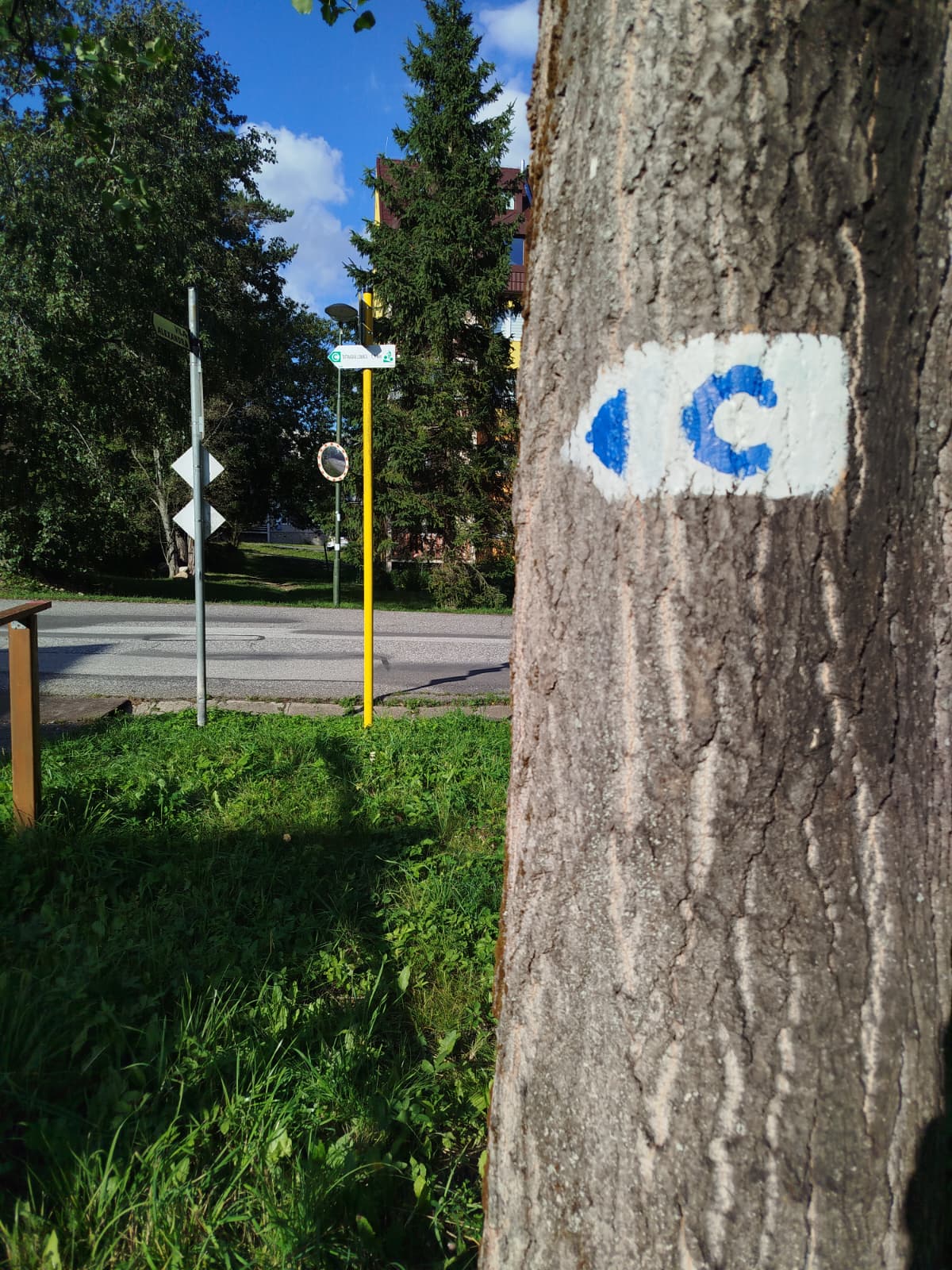
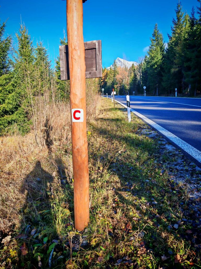
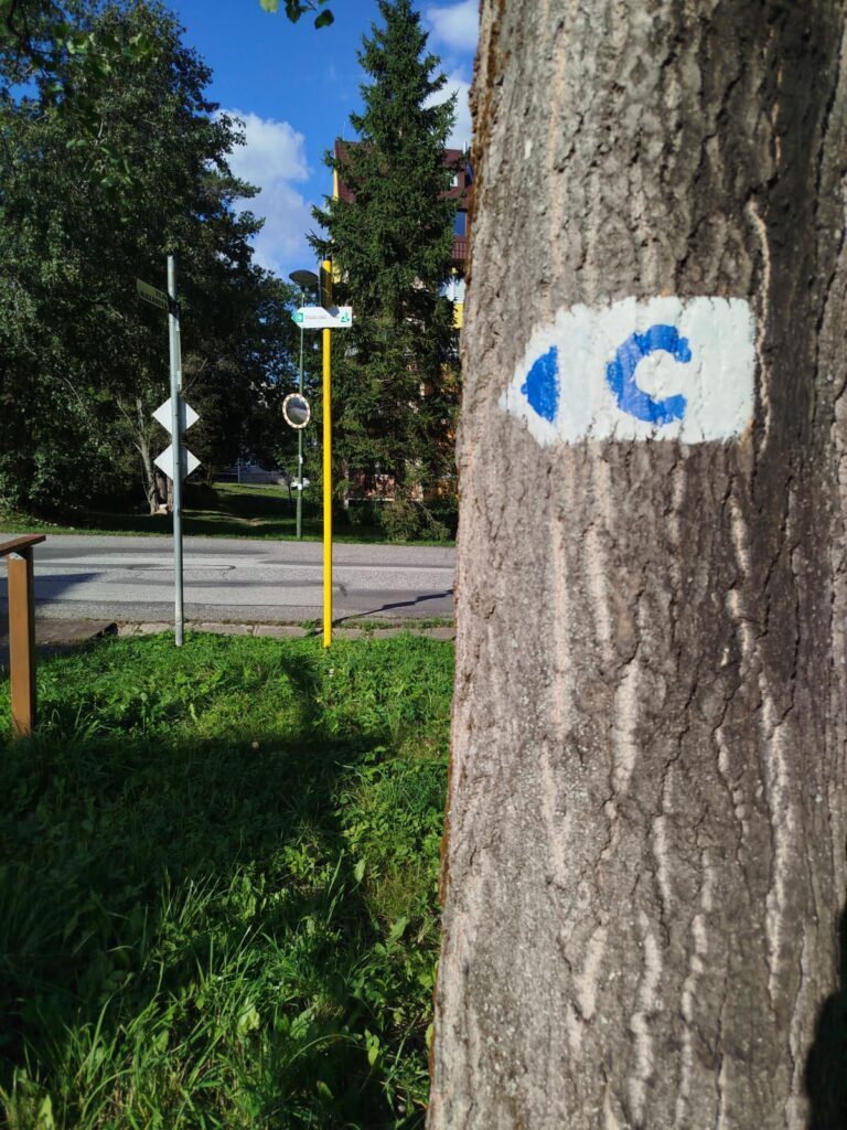
The bike trail is marked with a blue “C” symbol and the registration number 2863. When passing through villages and at forest road intersections, pay close attention to the signposts.

Tak to u nás vyzerá. Pozrite sa
Explore the region on two wheels
The Tatra Mountains offer an extensive network of bike trails for every type of cyclist—from easy trails in the foothills to challenging mountain loops with views that make every strenuous pedal stroke worthwhile.




Must-See Places. Discover them one by one
Every corner of the High Tatras has its own story. Discover the places that shape the character of the region.








The Tatra Mountains wake up differently every day
Current conditions, upcoming events, and editorial recommendations. Everything you need to know before heading to the Tatras.

Webcams
Poprad
2°C
Partly cloudy

Lomnický štít
-6°C
Partly cloudy
Tatranská Lomnica
2°C
Partly cloudy
Starý Smokovec
2°C
Partly cloudy
Hrebienok
1°C
Partly cloudy
Štrbské Pleso
2°C
Partly cloudy
Skalnaté pleso
0°C
Partly cloudy
Solisko
1°C
Partly cloudy


Everything You Need to Know Before Your Trip
Answers to the most frequently asked questions about the High Tatras region.
