Fitness circuit with six exercise stations
The Oxygen Trail – a loop around Štrbské Pleso



A short fitness loop around the lake
Suitable for both recreational running and brisk walking
Exercises in both easier and more challenging versions
Combine a run around the lake with a simple fitness workout
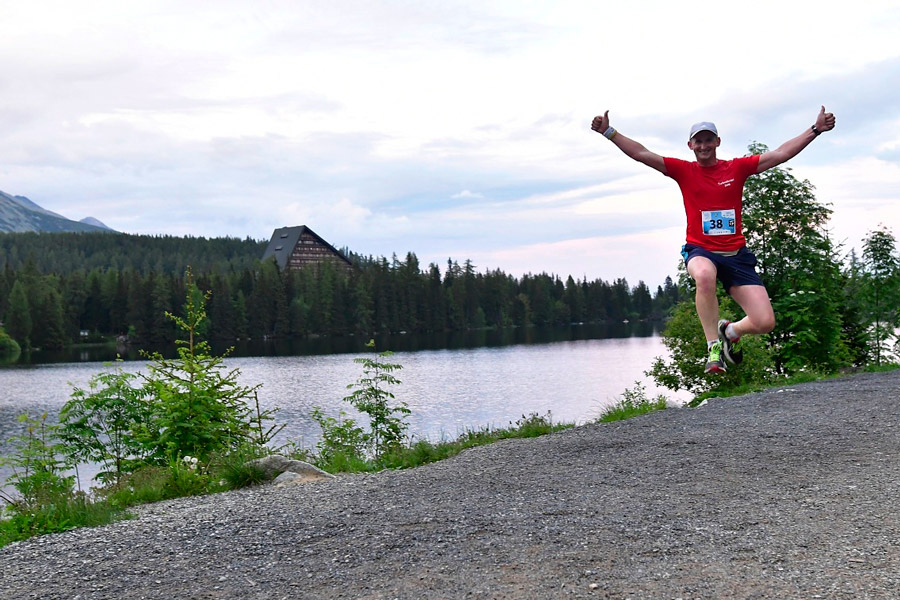
The oxygen fitness trail runs along the shore of Štrbské Pleso in a high-mountain setting at an elevation of approximately 1,350 meters above sea level. You can complete the short loop with a continuous recreational run or combine it with stops at the fitness stations. Štrbské Pleso lies at an elevation of approximately 1,346 meters above sea level.
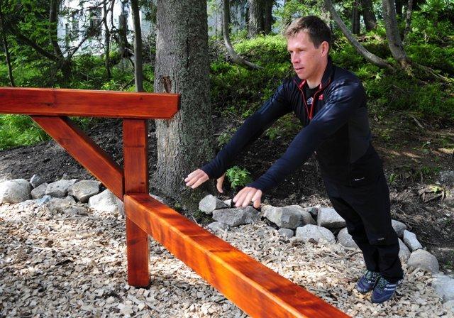
The trail consists of six stations. At each station, you’ll find specific exercises, the recommended number of repetitions, and the option to choose a less or more challenging alternative. This allows you to tailor your workout to your fitness level, age, and current pace.
What can you experience and see along the route?

Trasa a výškový profil
What do you need to know before you arrive?
Please read this before your visit
At each of the six stations, you can choose a less or more challenging option. The signs list specific exercises and the recommended number of repetitions, so the course can be used by both recreational athletes and visitors looking for a more intense workout.
You can complete the circuit as a light jog on its own or as a jog interspersed with fitness exercises. If you use all the stations, the overall intensity will be higher than if you simply ran around the lake, so adjust your pace according to the level of exercises you choose.
The trail runs through a popular area near Štrbské Pleso. When running or exercising, leave plenty of space for pedestrians, do not stop in the middle of the trail, and use the various stations in a way that does not obstruct other visitors.
An active trail along the shore of Štrbské Pleso
Elevation Profile
The trail runs along the shore of Štrbské Pleso without any significant uphill climbs. The surface of the lake is at an elevation of approximately 1,346 meters above sea level, so the entire loop stays at an elevation of around 1,350 meters above sea level.
The course is mostly gentle and suitable for a steady recreational run. The overall difficulty is primarily determined by the number of exercises completed and whether you choose the easier or more challenging option at each station.
Course Route
The Oxygen Trail is a loop that runs along the shore of Štrbské Pleso. Along the route, you’ll pass by six fitness stations one after another and then return to the starting point of the loop.
At each station, you can pause your run and follow the instructions on the information board to complete the prescribed exercises. The number of repetitions and the level of difficulty are specified separately for the easier and more intense versions. After completing the exercises, continue along the path to the next station.
Course Markings
To find your way, follow the trail around Štrbské Pleso and look for the information signs at the six exercise stations.

Tak to u nás vyzerá. Pozrite sa
Explore the region in your running shoes
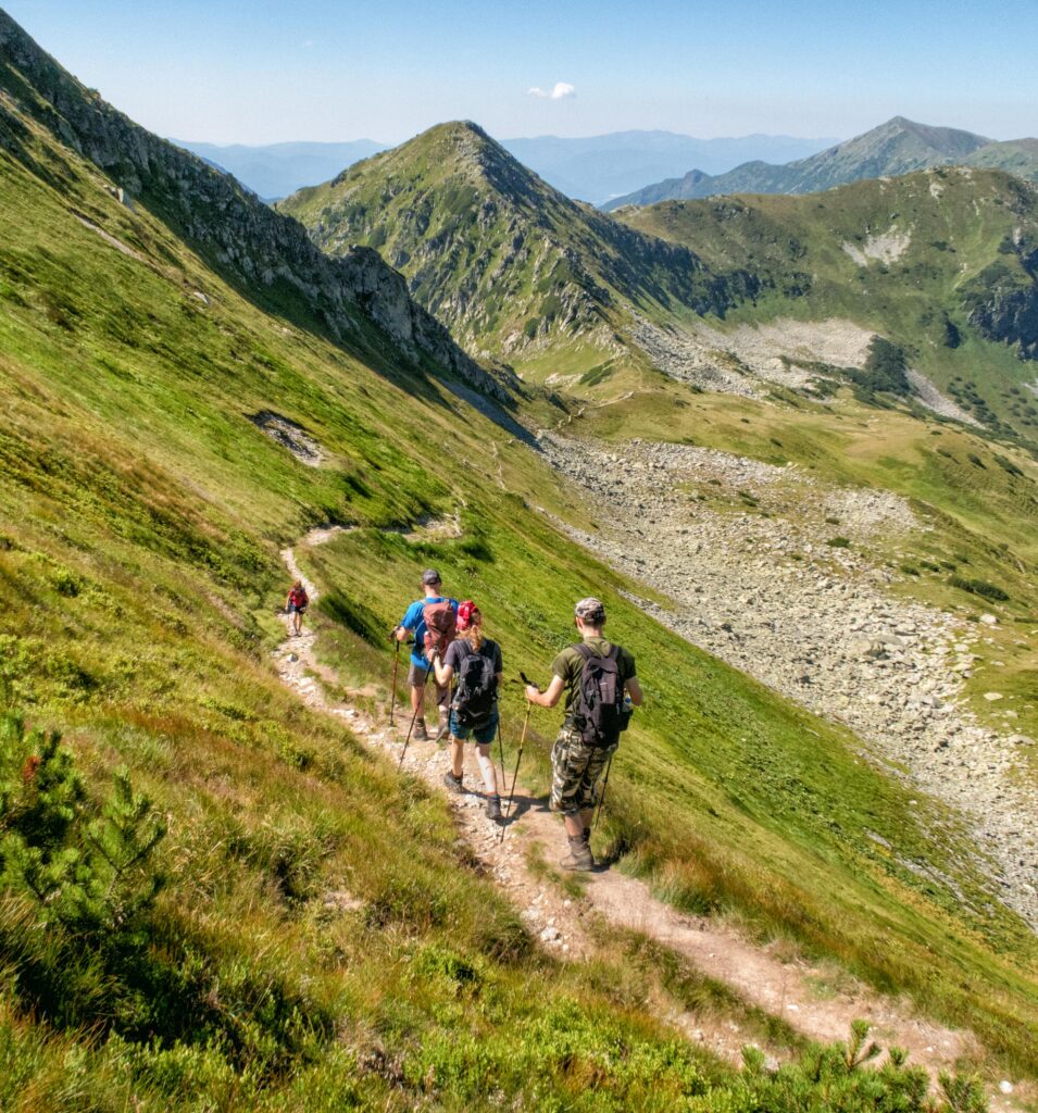
The Tatra Mountains offer a diverse network of running trails for both recreational and experienced runners—from easy trails in the foothills to challenging mountain loops with elevation gains and views that make every kilometer run well worth it.




Must-See Places. Discover them one by one
Every corner of the Tatra Mountains has its own story. Discover the places that shape the character of the region.




The Tatra Mountains wake up differently every day
Current conditions, upcoming events, and editorial recommendations. Everything you need to know before heading to the Tatras.

Webcams
Poprad
6°C
Mostly clear

Lomnický štít
-4°C
Overcast

Tatranská Lomnica
4°C
Overcast
Starý Smokovec
3°C
Overcast
Hrebienok
2°C
Overcast
Štrbské Pleso
3°C
Clear

Skalnaté pleso
1°C
Overcast
Solisko
-1°C
Clear


Everything You Need to Know Before Your Trip
Answers to the most frequently asked questions about the High Tatras region.