Poprad – Svit
Poprad – the Poprad River – the Mlynica Stream – Svit



Length of the skating trail
Also suitable for beginner skaters
For inline skaters and cyclists alike
A leisurely ride along the river from Poprad to Svit
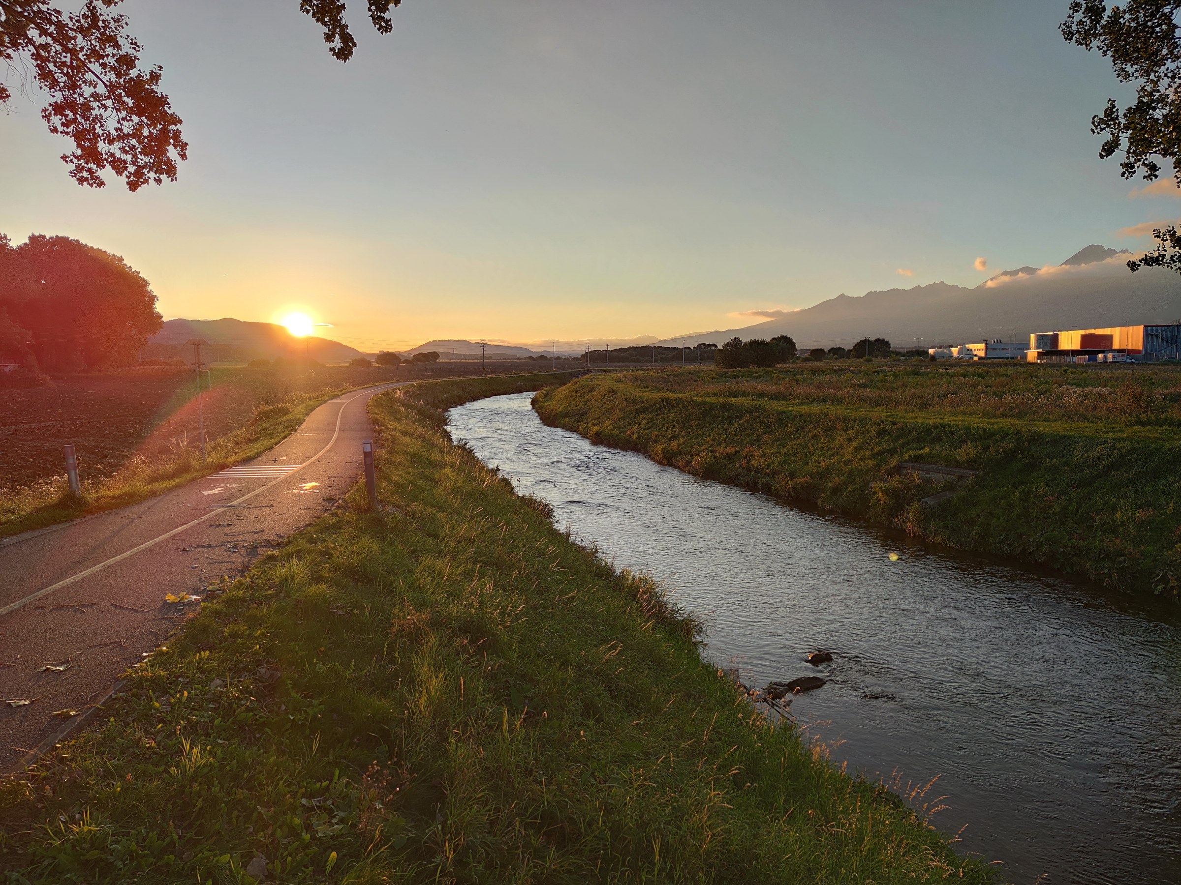
The inline skating route between Poprad and Svit offers a pleasant ride away from the busy city streets. The path runs mostly along the Poprad River and its tributary, the Mlynica, and continues through open countryside and fields on the western outskirts of Poprad.
The route connects the path from Svit heading toward Lopušná Valley with the Poprad-Kvetnica section at the entrance to the shooting range. Thanks to its easy difficulty level, it is suitable for recreational skaters, beginners, and more experienced athletes alike. Cyclists also use the path, so mutual consideration is necessary while out on the trail.
What can you experience and see along the route?

What do you need to know before you arrive?
Please read this before your visit
The trail is intended for a variety of visitors. While riding, be aware of cyclists, pedestrians, runners, and other skaters. When passing, give others plenty of warning and maintain a safe distance.
Before you start skating, check the wheels, brakes, and fastenings on your skates. A helmet and wrist, elbow, and knee pads help reduce the risk of injury in the event of a fall.
There may be small pebbles, twigs, leaves, or debris washed onto the surface after rain. Pay special attention to areas near bridges, intersections, and junctions with local roads.
Skate between Poprad and Svit along a pleasant route by the water
Elevation Profile
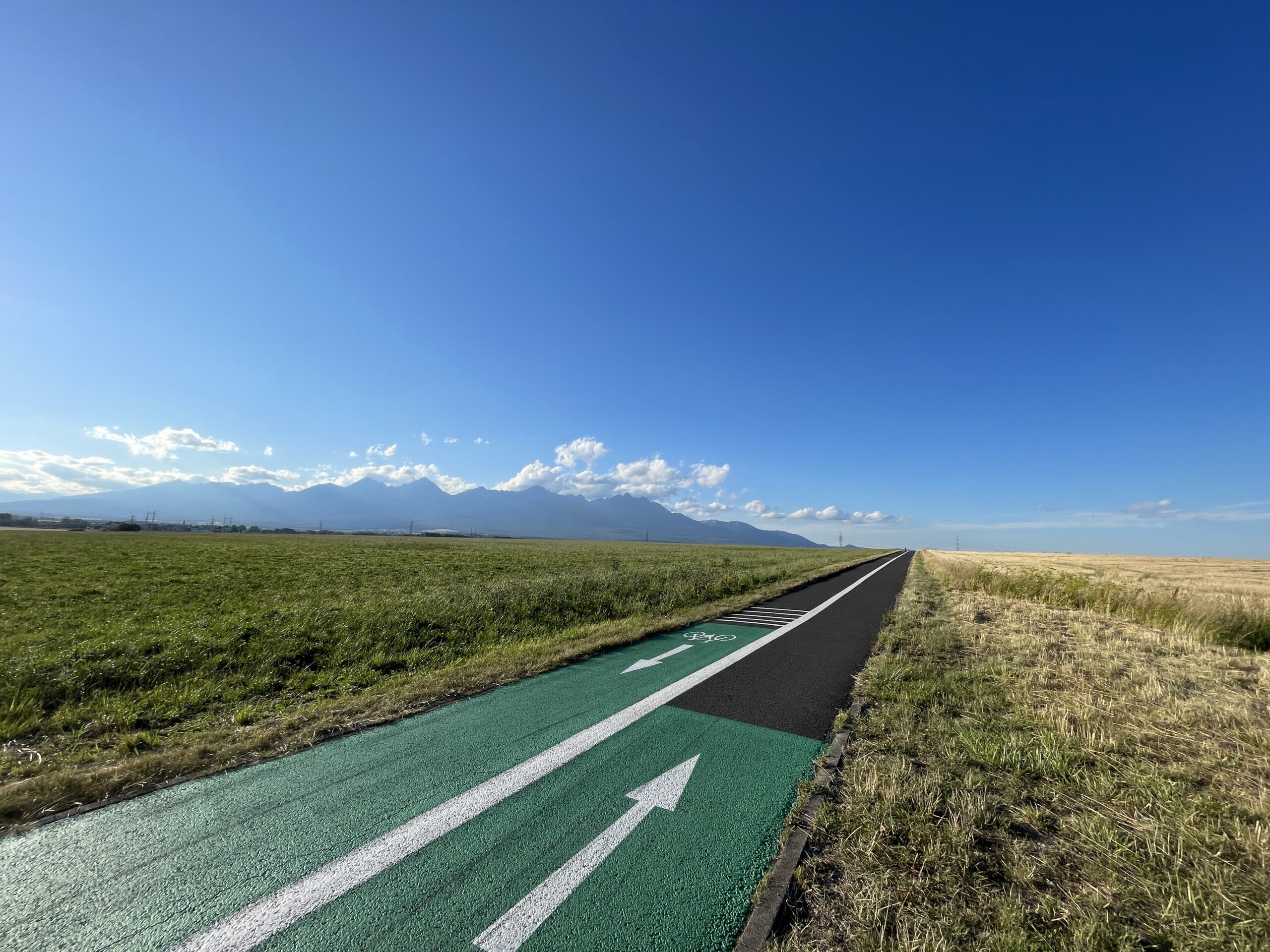
The route is mostly flat and does not include any significant climbs. Thanks to its gentle profile, it is also suitable for less experienced skaters who want to practice their technique, balance, and smooth skating over a longer distance.
Route Description
The route begins on the western outskirts of Svit on the road leading to Lopušná Valley, just past the bridge over the Mlynica Creek. From there, it continues along the Mlynica and then along the Poprad River toward the city of Poprad.
Around the western edge of Poprad, the trail winds through open countryside and fields. The final section heads toward the Poprad-Kvetnica neighborhood and ends at the road leading to the entrance of the shooting range. The route can also be completed in the opposite direction.
Surface and Route
The route follows a separate path used by inline skaters, cyclists, runners, and pedestrians. Along the route, be sure to watch out for any intersections, connections to other paths, and areas with heavy foot traffic.
Stops along the route
– Svit, road leading to Lopušná Valley
– Bridge over the Mlynica Creek
– Section along the Mlynica Creek
– Sidewalk along the Poprad River
– Western edge of the city of Poprad
– Poprad-Kvetnica, the road at the entrance to the shooting range

That's how it looks here. Take a look

Explore the region on two wheels
Enjoy being active outdoors and discover the Tatra region from a new perspective. The inline skating trails offer a pleasant ride, beautiful views, and options for both recreational and more experienced skaters.




Must-See Places. Discover them one by one
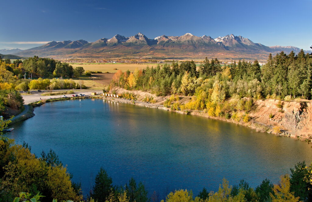
Every corner of the Tatra Mountains has its own story. Discover the places that shape the character of the region.




The Tatra Mountains wake up differently every day
Current conditions, upcoming events, and editorial recommendations. Everything you need to know before heading to the Tatras.

Webcams
Poprad
4°C
Clear

Lomnický štít
-13°C
Clear
Tatranská Lomnica
2°C
Clear
Starý Smokovec
0°C
Clear
Hrebienok
-1°C
Clear
Štrbské Pleso
-3°C
Clear
Skalnaté pleso
-6°C
Clear
Solisko
-8°C
Overcast


Everything You Need to Know Before Your Trip
Answers to the most frequently asked questions about the High Tatras region.