Spišská Belá – Tatranská Kotlina
Spišská Belá – Bike Path – Tatranská Kotlina



Length of the skating trail
A pleasant ride suitable even for recreational skaters
Places with shelters where you can rest while driving
A skating trail connecting Spišská Belá and Tatranská Kotlina
The trail between Spišská Belá and Tatranská Kotlina offers a pleasant route for recreational inline skating. Along this approximately nine-kilometer stretch, you can enjoy some active exercise in the Tatra Mountains setting and easily travel between the two locations.
The route includes four larger rest areas with shelters, providing a place to take a short break. Visitors will also find maps of the region and bike trails here, which will help them better navigate the area and plan future trips.
What can you experience and see along the route?

What do you need to know before you arrive?
Please read this before your visit
Before heading out, check that your skates are securely fastened, inspect the condition of the wheels, and make sure the brakes are working properly. A helmet and wrist, knee, and elbow pads help reduce the risk of injury.
There are four large rest areas with shelters along the trail. They provide a place to rest, have a snack from your own supplies, or check the rest of the route.
The maps located along the route show the surrounding area and other bike trails. Before continuing on to the next sections, check to see if their surface and profile are also suitable for inline skates.
Discover a route beneath the Tatra Mountains. On skates from Spišská Belá to Tatranská Kotlina
Elevation Profile
When planning your ride, take into account the direction of the route, your physical condition, and your ability to brake safely. Adjust your speed based on the current slope of the trail, the condition of the surface, and the movement of other visitors.
Route Description
The trail connects the town of Spišská Belá with Tatranská Kotlina. The route is 9.26 km long and can be completed in about 60 minutes at a leisurely pace.
Along the way, you can stop at four larger rest areas equipped with shelters. There are also informational maps of the region and bike trails along the route, which make it easier to find your way and offer inspiration for future outdoor adventures.
Surface and Route Alignment
Before setting out, we recommend checking the current condition of the trail, especially after rain or inclement weather. Pay close attention to any debris, small pebbles, leaves, and areas near rest stops or junctions with other trails.
Stops along the route
– Spišská Belá
– Rest areas with shelters
– Information maps of the region and bike trails
– Tatranská Kotlina

That's how it looks here. Take a look
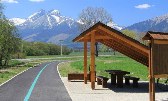
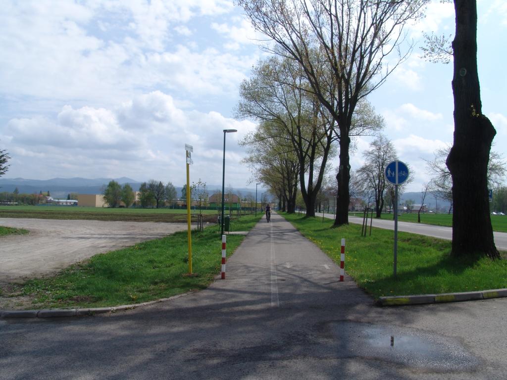
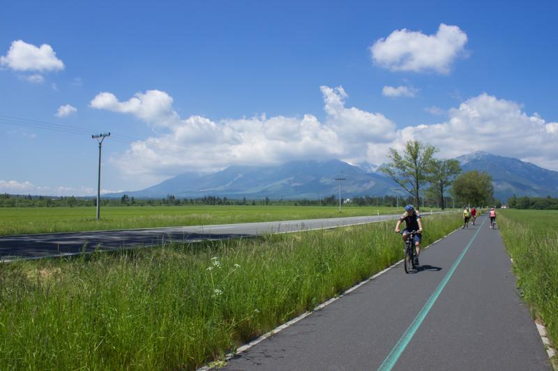
Explore the region on two wheels
Enjoy being active outdoors and discover the Tatra region from a new perspective. The inline skating trails offer a pleasant ride, beautiful views, and options for both recreational and more experienced skaters.
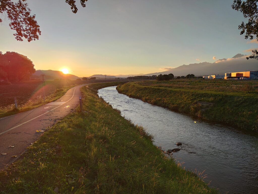


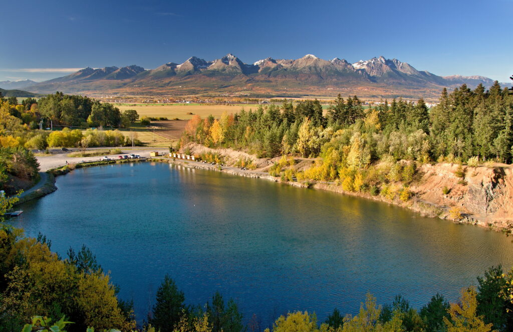


Must-See Places. Discover them one by one
Every corner of the Tatra Mountains has its own story. Discover the places that shape the character of the region.
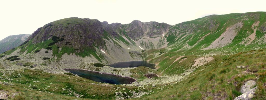
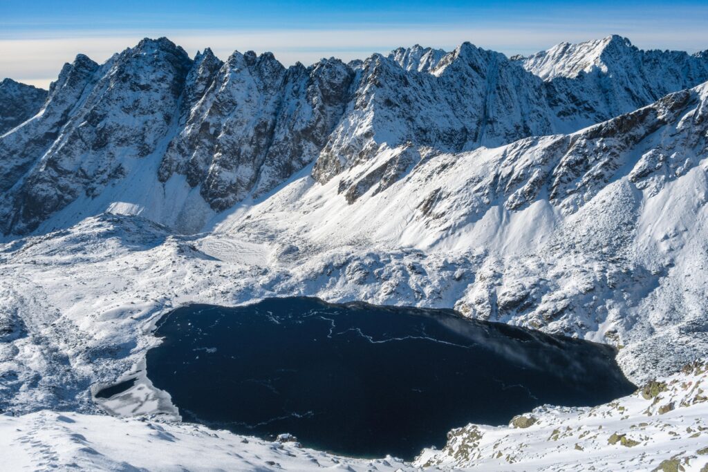


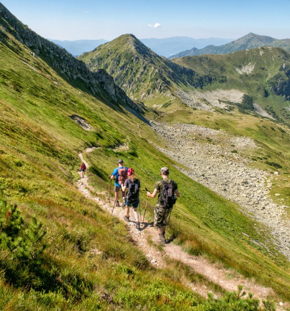


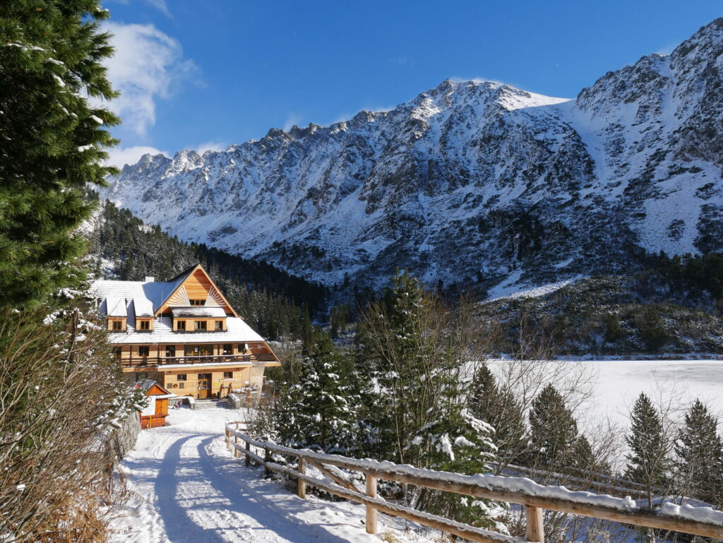
The Tatra Mountains wake up differently every day
Current conditions, upcoming events, and editorial recommendations. Everything you need to know before heading to the Tatras.

Webcams
Poprad
1°C
Clear

Lomnický štít
-13°C
Clear
Tatranská Lomnica
-1°C
Clear
Starý Smokovec
-2°C
Clear
Hrebienok
-3°C
Clear
Štrbské Pleso
-4°C
Clear
Skalnaté pleso
-7°C
Clear
Solisko
-8°C
Clear


Everything You Need to Know Before Your Trip
Answers to the most frequently asked questions about the High Tatras region.