

A hike through the Velická Valley to the Sliezsky House
Tatranská Polianka – Velická Valley – Sliezsky Dom Mountain Hotel



A continuous run from Tatranská Polianka
Total elevation gain along the route
A technically simple but physically demanding surface
A mountain run that will test your endurance and help you find the right pace
The running course begins at the ramp on the paved forest road in Tatranská Polianka and climbs continuously for 6.9 kilometers through the Velická Valley to the Sliezsky Dom Mountain Hotel. The entire route is paved, so it does not include any technically challenging rocky sections. However, the significant elevation gain makes the course a demanding endurance run, where pacing is crucial.
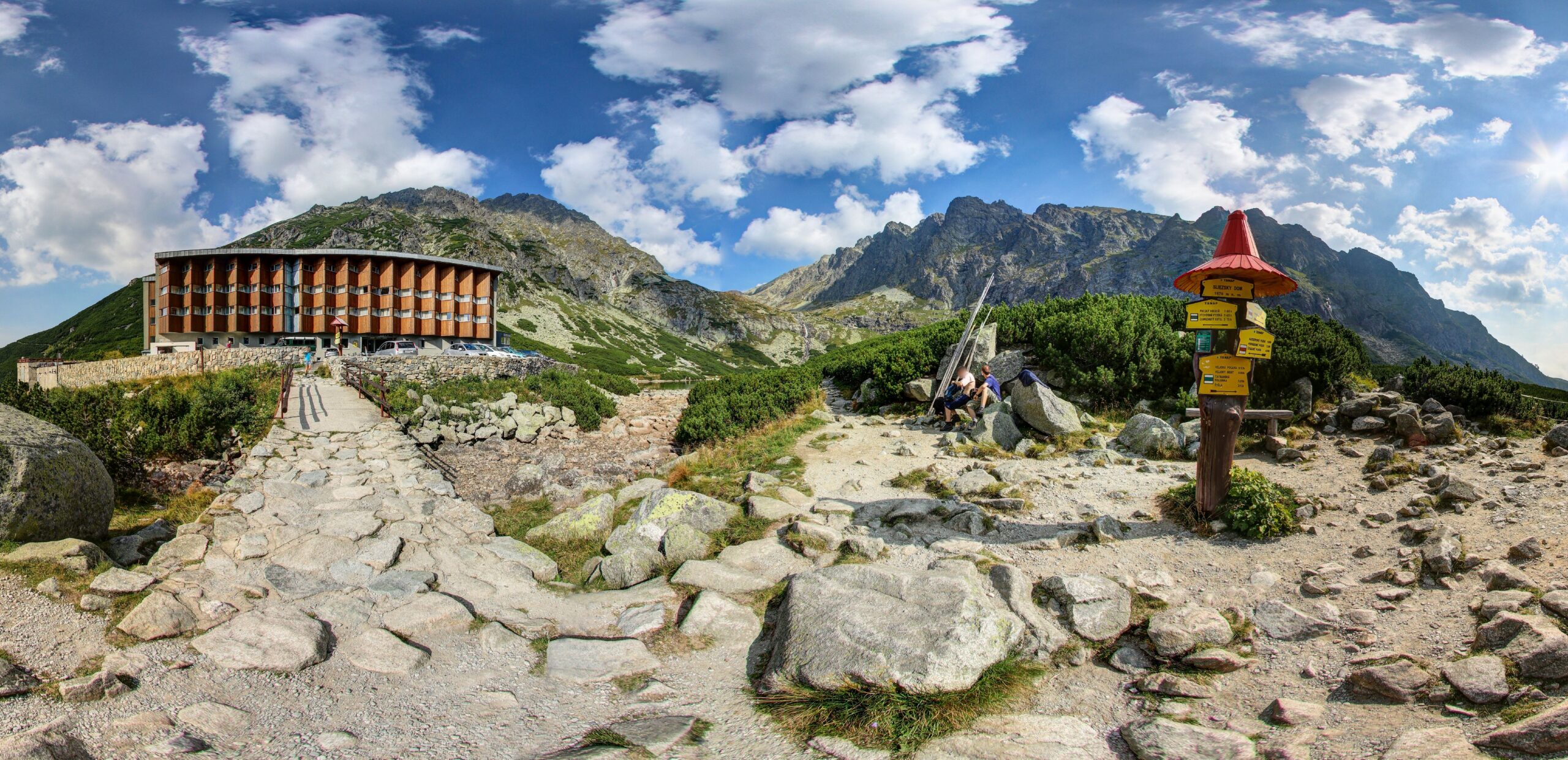
The route begins at an elevation of approximately 1,030 meters above sea level and ends at Sliezsky Dom at an elevation of about 1,666 to 1,670 meters above sea level. The paved road is also popular among cyclists and is used by ski mountaineers in the winter. Sliezsky Dom is located in the Velická Valley, directly below the Gerlachovský štít massif.
What can you experience and see along the route?

Trasa a výškový profil
What do you need to know before you arrive?
Please read this before your visit
The designation “easy” primarily refers to an asphalt surface without any technical mountain sections. From a fitness perspective, however, this is a challenging uphill run with a total elevation gain of approximately 698 meters. Therefore, start at a slower pace and pace yourself over the entire distance.
The route follows a paved road that also serves as a bike path. Vehicle access to the hotel is restricted, but authorized vehicles and hotel vehicles are permitted on the road. Stay close to the edge of the road and pay extra attention to your surroundings on blind curves.
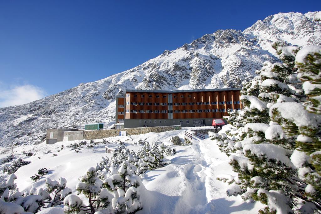
The trail is used by ski mountaineers in the winter and also hosts races in the Winter Cross-Country Series. Current trail conditions may vary depending on snowfall, temperature, and maintenance, so please check the conditions before setting out and use anti-slip gaiters if necessary.
Nearly seven kilometers of continuous climbing
Elevation Profile
The lowest point of the course is located at an elevation of approximately 1,030 meters above sea level, and the highest point reaches 1,666 meters above sea level. The total elevation gain is approximately 698 meters, while the total elevation loss is only 62 meters.
The course profile is clearly uphill. Shorter, gentler, or downhill sections offer only limited opportunities to rest, so it’s important not to push the pace too hard in the lower part of the course.
Course Route
The run begins at the ramp on the paved forest road in Tatranská Polianka at an elevation of approximately 1,030 meters above sea level. From there, continue along the paved road through the Velická Valley toward Sliezsky House.
The initial section runs mostly through a forest. The trail gradually gains elevation and winds its way through several curves up into the higher parts of the valley.
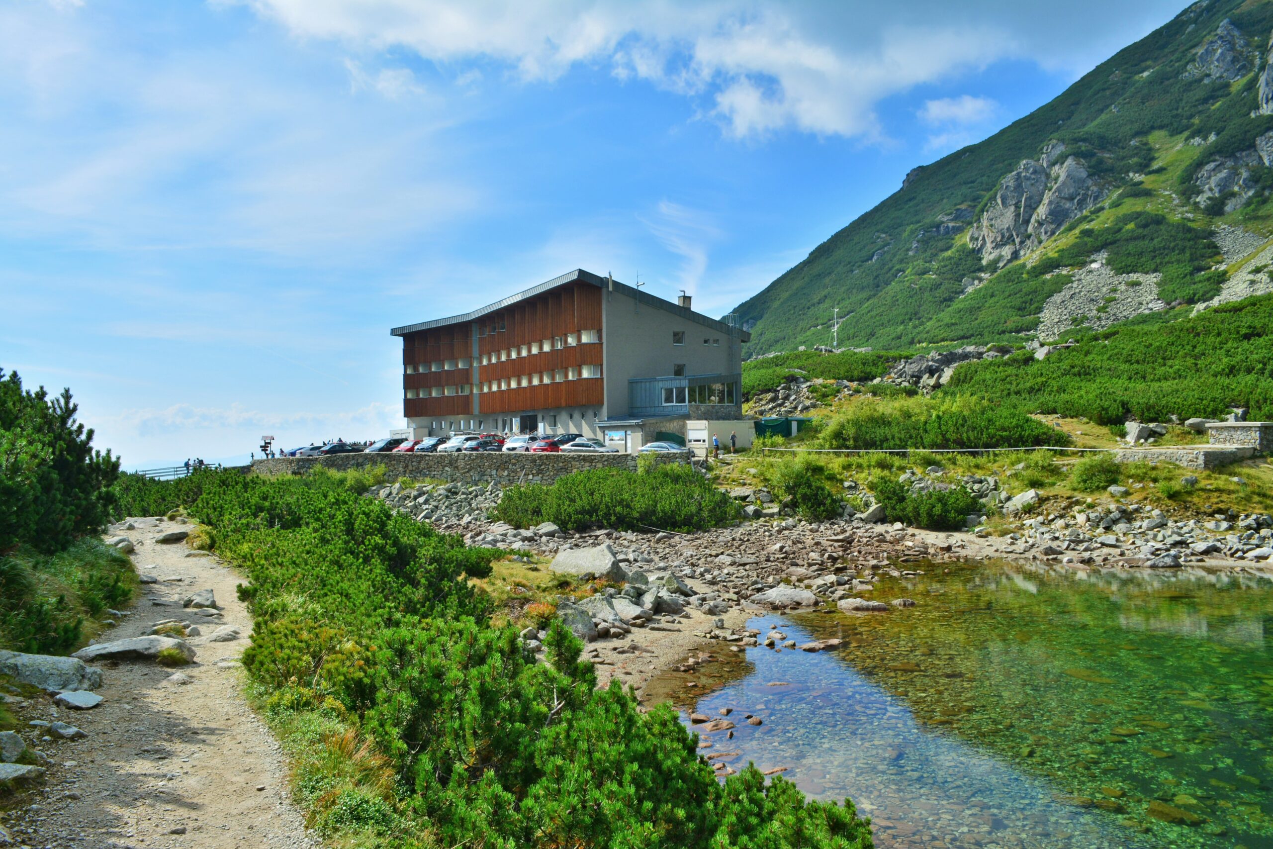
In the upper section, you’ll ascend above the continuous forest into the dwarf pine zone, from where views of the trail’s destination and the surrounding peaks gradually open up. The hotel’s description states that the trail heads toward the Velická Poľana area and that Sliezsky Dom is visible from the upper part of the ascent.
The trail ends at the Sliezsky Dom Mountain Hotel at an elevation of approximately 1,670 meters above sea level. In its immediate vicinity lies Velické pleso and views of the Gerlachovský štít massif.
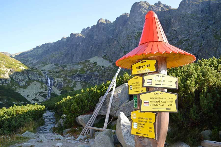
Trail Markings
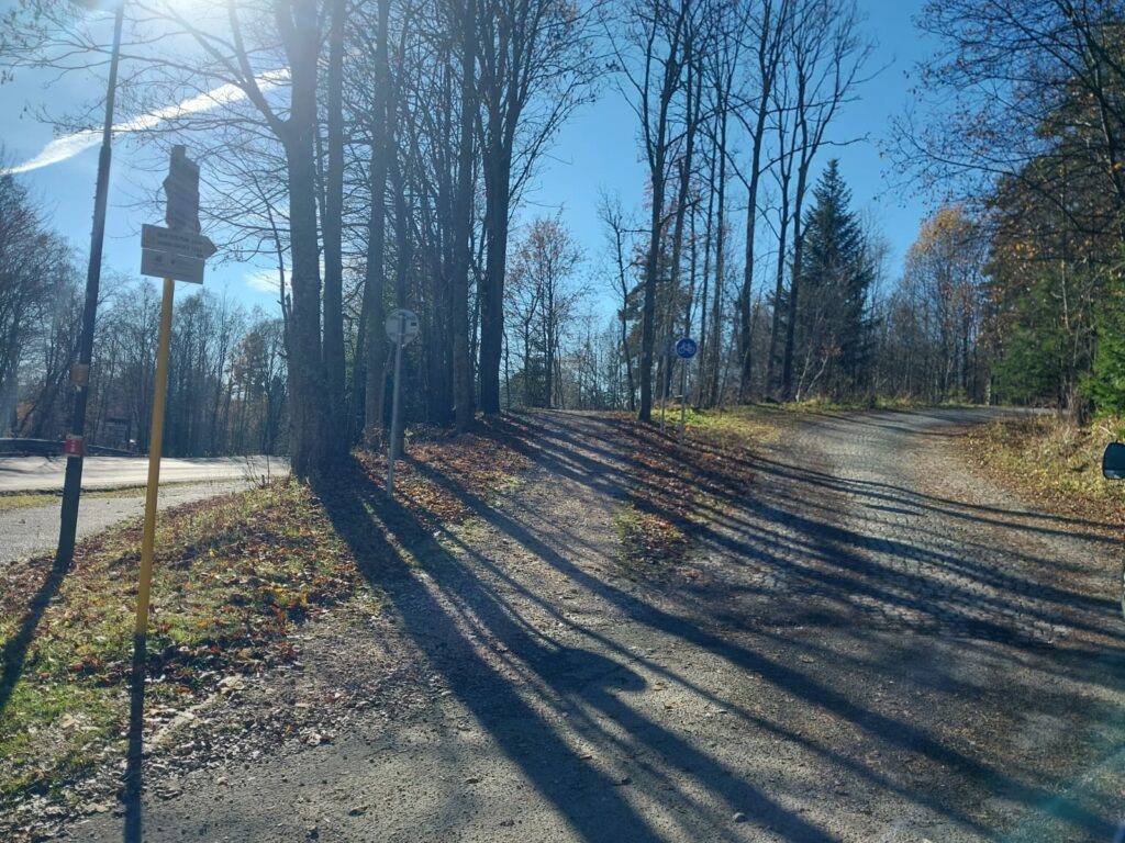
The cross-country ski trail follows an asphalt road, which is also registered as bike trail 2865 Tatranská Polianka – Sliezsky Dom. The bike trail is marked with a blue letter C.

That's how it looks here. Take a look
Explore the region in your running shoes
The Tatra Mountains offer a diverse network of running trails for both recreational and experienced runners—from easy trails in the foothills to challenging mountain loops with elevation gains and views that make every kilometer run well worth it.




Must-See Places. Discover them one by one
Every corner of the Tatra Mountains has its own story. Discover the places that shape the character of the region.









Webkamery
Poprad
-1°C
Jasno

Lomnický štít
-9°C
Prevažne jasno

Tatranská Lomnica
-1°C
Prevažne jasno
Starý Smokovec
0°C
Prevažne jasno
Hrebienok
-1°C
Prevažne jasno
Štrbské Pleso
1°C
Jasno
Skalnaté pleso
0°C
Prevažne jasno
Solisko
0°C
Jasno


Všetko, čo potrebujete vedieť pred výletom
Odpovede na najčastejšie otázky o regióne Vysoké Tatry.
