A climb to one of the most striking peaks in the Tatra Mountains
Hrebienok – Slavkovská Lookout – Slavkovský Peak – Hrebienok



Round-trip distance
Full-Day High-Mountain Hike
Approximate total elevation gain
A long hike to the panoramic view of the Veľká Studená Valley
The hike from Hrebienok to Slavkovský štít is one of the most physically demanding marked trails in the Smokovec area. During the approximately 6.3-kilometer ascent, you’ll climb about 1,200 meters in elevation. The route isn’t particularly complicated from a technical standpoint, but its difficulty lies in the long, continuous ascent, rocky terrain, and an equally lengthy descent.
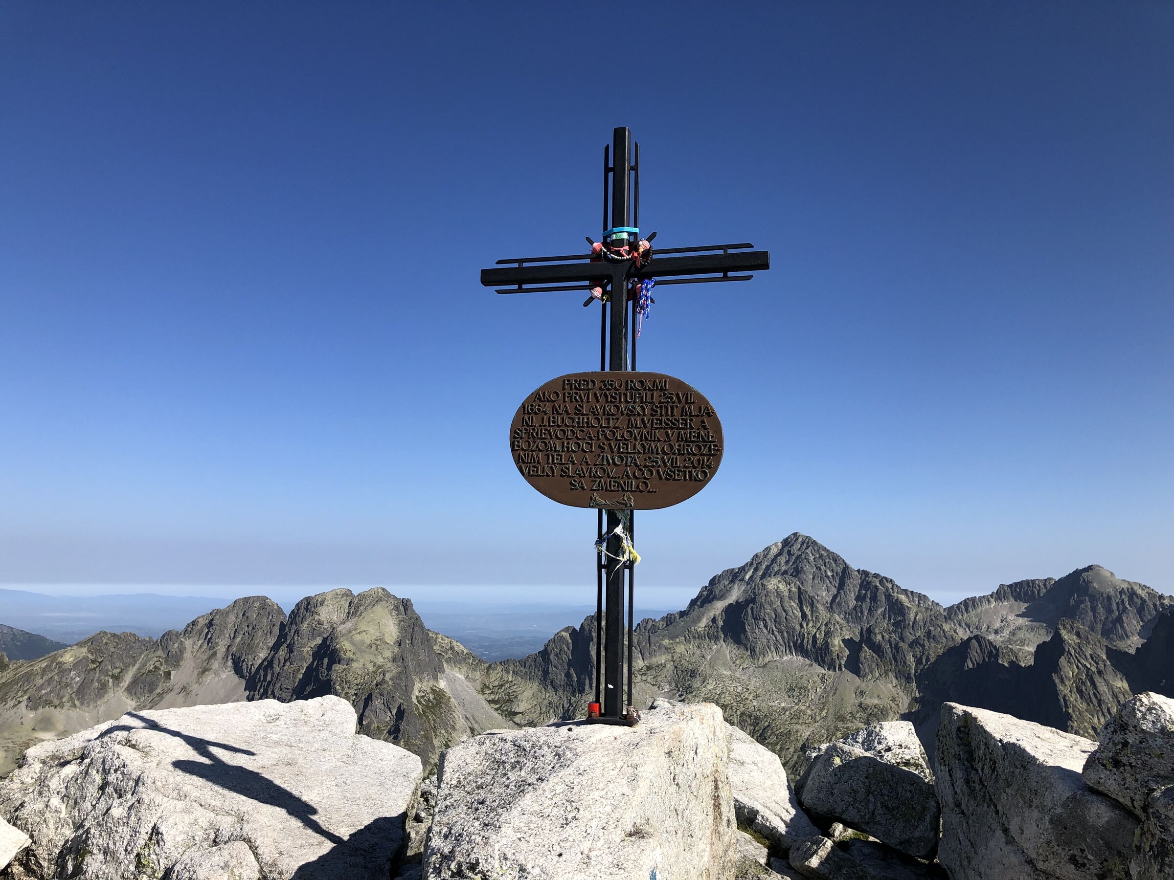
The first notable stop is the Slavkovská Lookout at an elevation of approximately 1,530 meters above sea level. Above it, the trail leaves the forest and continues through open mountain terrain across the Slavkovský Nos area all the way to the summit. From Slavkovský štít, the view opens up to the Veľká Studená Valley, the Zbojnícka Chalet, numerous mountain lakes, and the surrounding Tatra peaks. The return trip follows the same route back to Hrebienok.
What can you experience and see along the route?

Trasa a výškový profil
What do you need to know before you arrive?
Please read this before your visit
The blue-marked section from the Slavkovská Lookout to Slavkovský Peak is closed annually from November 1 through May 31. During the closure, visitors may only go as far as the Slavkovská Lookout, unless other special restrictions are in effect.
After leaving Hrebienok, there are no mountain huts or places to restock on water and food along the trail. Therefore, be sure to bring all the supplies you’ll need with you at the start of the hike.
As of the time of this writing, in July 2026, the official list of current restrictions does not mention an emergency closure of the trail to Slavkovský štít. However, it is necessary to check for the latest updates before every hike.
A hike that will test both your fitness and endurance
The trail begins at Hrebienok at an elevation of approximately 1,285 meters above sea level. The initial section runs mostly through the forest, and the ascent is still gentle. Past the fork in the trail below Slavkovský Peak, the trail begins to climb more steeply, and about 2.6 kilometers from Hrebienok, it reaches the Slavkovská Lookout.
The next section—approximately 3.7 kilometers long—between the lookout point and the summit is the most challenging. On this stretch, you’ll climb more than 900 meters in elevation. The trail winds through rocky mountain terrain, and the summit doesn’t come into view until the very end of the ascent. After reaching an elevation of 2,452 meters above sea level, the descent follows the same route, requiring caution especially on loose rocks and wet terrain.
Route Markings
Red trail
Hrebienok – Junction below Slavkovský štít
Approximately 1.4 km
Blue trail
Trail junction below Slavkovský štít – Slavkovská vyhliadka
Approximately 1.2 km
Blue Trail:
Slavkovská vyhliadka – Slavkovský štít
Approximately 3.7 km
Return
: Back to Hrebienok via the same route
Landmarks along the route
Hrebienok – approximately 1,285 m above sea level
Crossroads below Slavkovský Peak – approximately 1,357 m above sea level
Slavkovská Lookout – approximately 1,530 m above sea level
Slavkovský Nos – 2,273 m above sea level
Slavkovský štít – 2,452 m above sea level
Hrebienok – return to the starting point
On this route, it’s worth keeping an eye out for temporary closures and changes to trail conditions; you can set up notifications for new updates.

Tak to u nás vyzerá. Pozrite sa
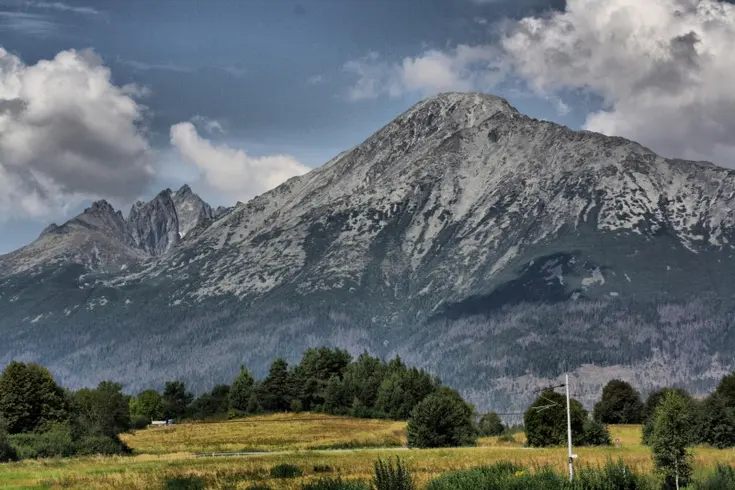
Set out to discover the beauty of the Tatra Mountains
Hiking trails will take you to mountain lakes, waterfalls, mountain huts, and the peaks of the Tatra Mountains. Choose from easy walks to more challenging hikes and discover the region’s beauty step by step.


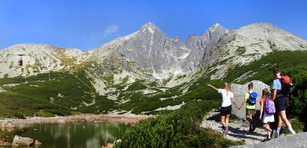


Must-See Places. Discover them one by one
Every corner of the Tatra Mountains has its own story. Discover the places that shape the character of the region.
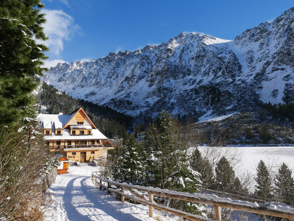




The Tatra Mountains wake up differently every day
Current conditions, upcoming events, and editorial recommendations. Everything you need to know before heading to the Tatras.

Webcams
Poprad
2°C
Mostly clear

Lomnický štít
-6°C
Overcast

Tatranská Lomnica
0°C
Mostly clear
Starý Smokovec
1°C
Mostly clear
Hrebienok
0°C
Mostly clear
Štrbské Pleso
1°C
Partly cloudy
Skalnaté pleso
-1°C
Partly cloudy
Solisko
-1°C
Mostly clear


Everything You Need to Know Before Your Trip
Answers to the most frequently asked questions about the High Tatras region.