A mountain loop with views overlooking Štrbské Pleso
Hotel Crocus – Sports Complex – Mountain Trails Above Štrbské Pleso – Hotel Crocus



A compact trail loop at Štrbské Pleso
A trail with a rocky surface and steeper climbs
Total ascent and descent
Seven kilometers that will test your pace and strength on the hills
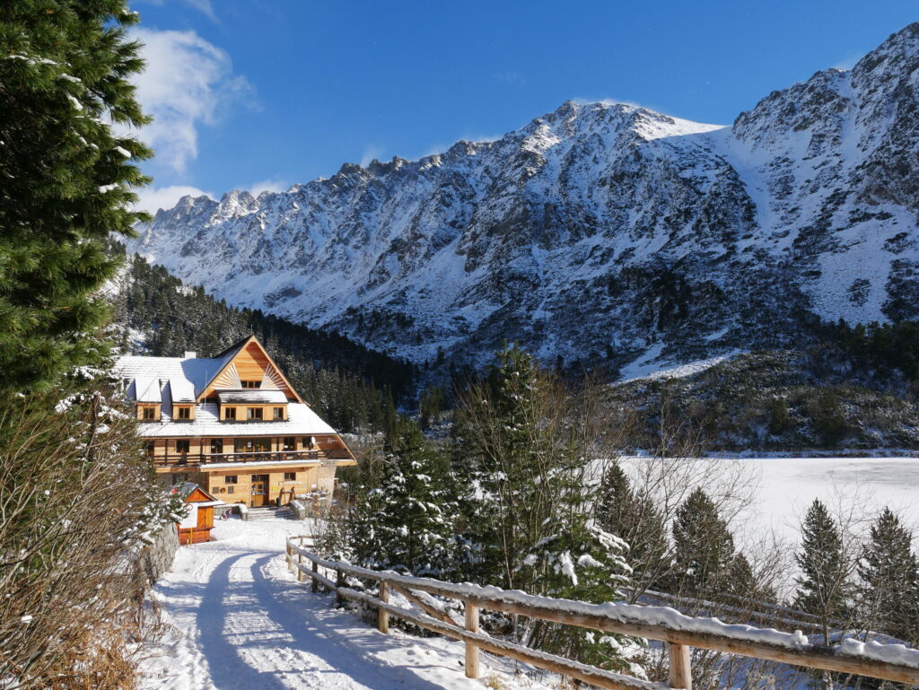
The Interski Run is a 7-kilometer mountain circuit that starts and finishes at the Crocus Hotel in Štrbské Pleso. The course ranges in elevation from 1,325 to 1,530 meters above sea level, with an elevation gain and loss of approximately 310 meters over the course of the loop. The combination of a shorter distance and significant elevation gain creates a dynamic race featuring alternating climbs, faster sections, and more technical descents.
Historical race descriptions indicate a combination of asphalt and paved mountain trails. The Interski Run also served as the final stage of the three-day Tatry Running Tour, and in its original format, it was open to participants in all three stages.
What can you experience and see along the route?

Trasa a výškový profil
What do you need to know before you arrive?
Please read this before your visit
Although the course is only seven kilometers long, the total elevation gain of 310 meters makes it physically demanding. The lowest point is at an elevation of 1,325 meters above sea level, and the highest at 1,530 meters above sea level. The difference between the two extremes is 205 meters, but the undulating profile results in a greater total elevation gain.
The trail alternates between paved sections and a compacted mountain path. For safe hiking, wear shoes with a more rugged sole, which will provide stability on ascents and traction on descents.
A short loop with a challenging mountainous terrain
Elevation Profile
The trail begins and ends at the Crocus Hotel in Štrbské Pleso. Its lowest point is at an elevation of approximately 1,325 meters above sea level, and its highest point reaches 1,530 meters above sea level. The total ascent and total descent each amount to 310 meters.
The profile is not uniform. After the initial gentler sections, there is a steeper climb to the higher terrain above Štrbské Pleso. After reaching the highest point, the trail gradually returns to the starting point.
Route Description
You’ll start the run at Hotel Crocus. From the built-up area of Štrbské Pleso, continue toward the sports complex and then head onto paved mountain trails.
The course gradually gains elevation and leads to the area above the village. After reaching the highest point of the loop, the route descends back to the Štrbské Pleso area. The final section returns to the Crocus Hotel, where the 7-kilometer loop ends. The official course map confirms the same start and finish points, as well as identical elevation gain and loss values.

Tak to u nás vyzerá. Pozrite sa
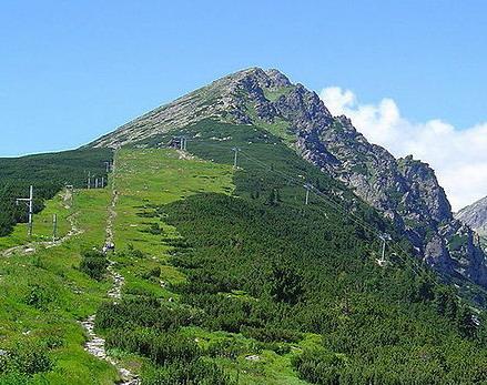
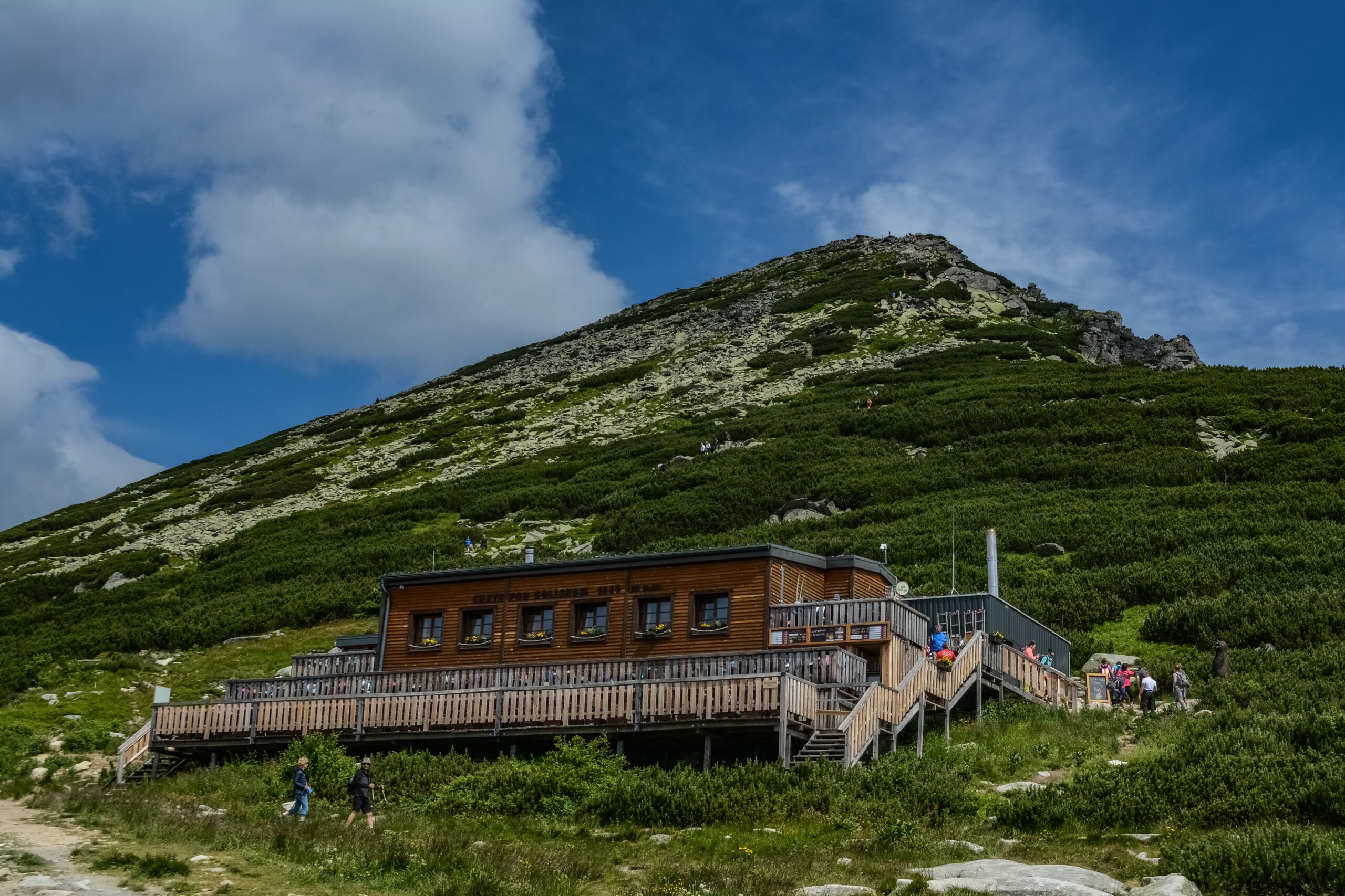
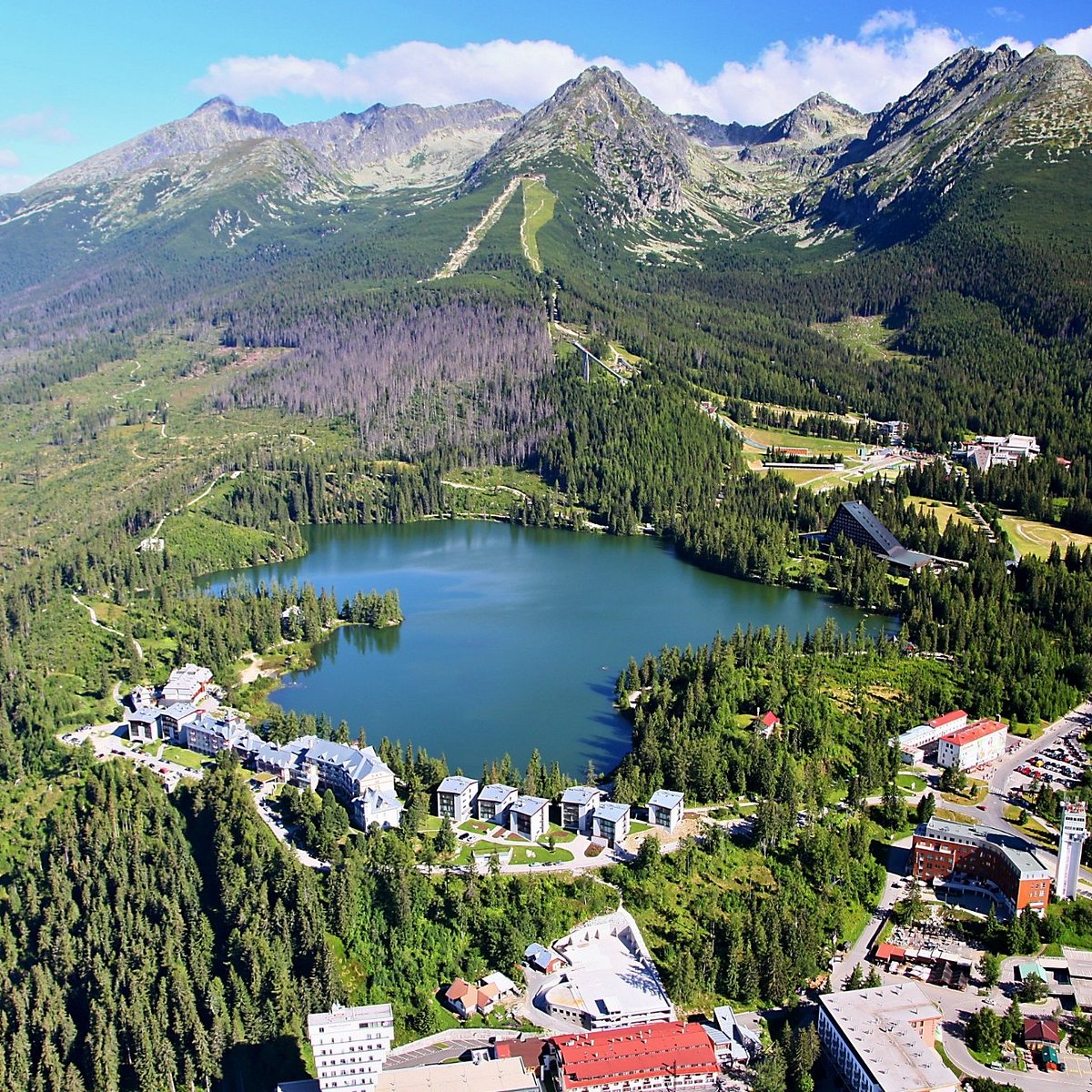
Explore the region in your running shoes
The Tatra Mountains offer a diverse network of running trails for both recreational and experienced runners—from easy trails in the foothills to challenging mountain loops with elevation gains and views that make every kilometer run well worth it.
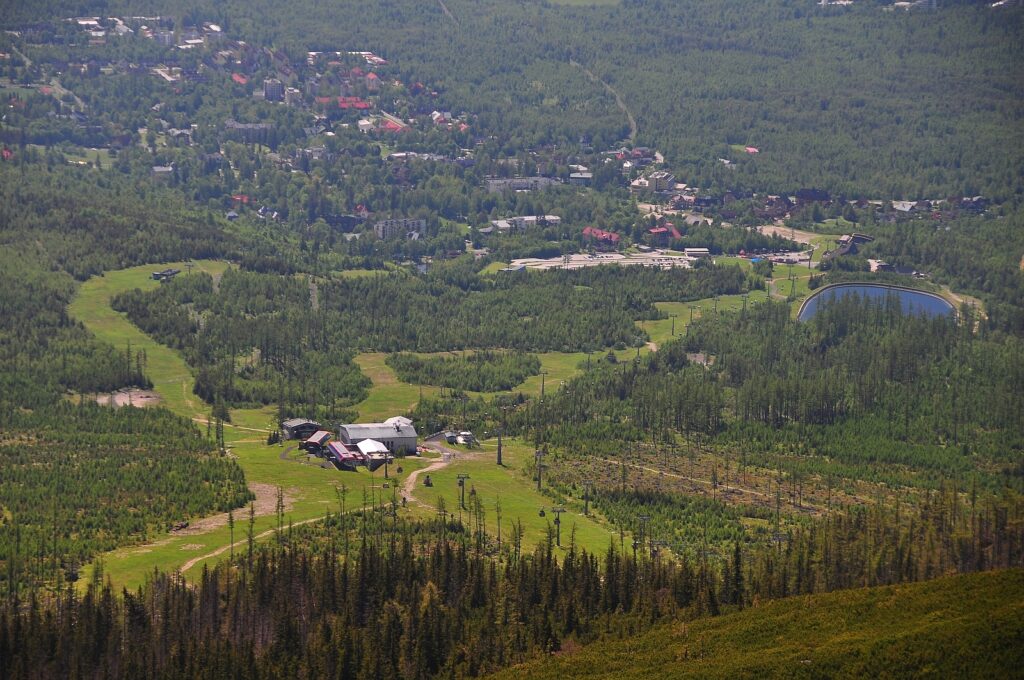




Must-See Places. Discover them one by one
Every corner of the Tatra Mountains has its own story. Discover the places that shape the character of the region.




The Tatra Mountains wake up differently every day
Current conditions, upcoming events, and editorial recommendations. Everything you need to know before heading to the Tatras.

Webcams
Poprad
3°C
Clear

Lomnický štít
-5°C
Clear
Tatranská Lomnica
2°C
Clear
Starý Smokovec
3°C
Clear
Hrebienok
2°C
Clear
Štrbské Pleso
3°C
Clear
Skalnaté pleso
1°C
Clear
Solisko
0°C
Clear


Everything You Need to Know Before Your Trip
Answers to the most frequently asked questions about the High Tatras region.