

Descent from Solisko through the Furkotská Valley
Solisko – Furkotská Valley – Štrbské Pleso



Length of a one-way route
A hike consisting mostly of downhill sections
Estimated walking time
From the mountain panoramas back to Štrbské Pleso
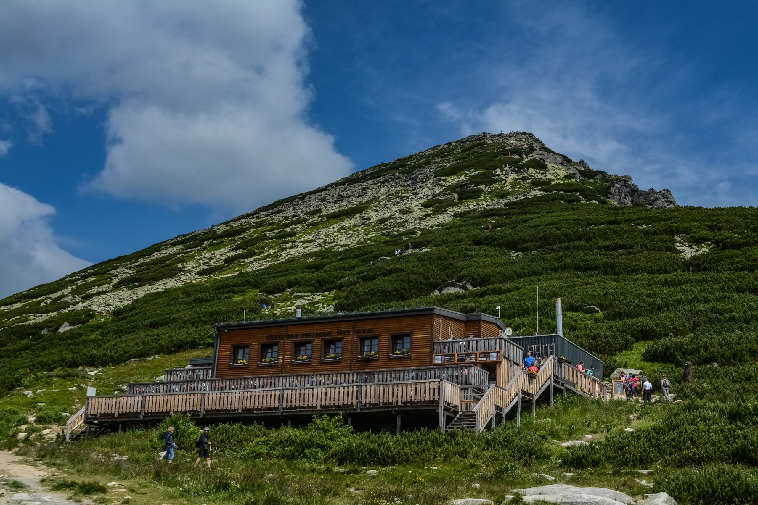
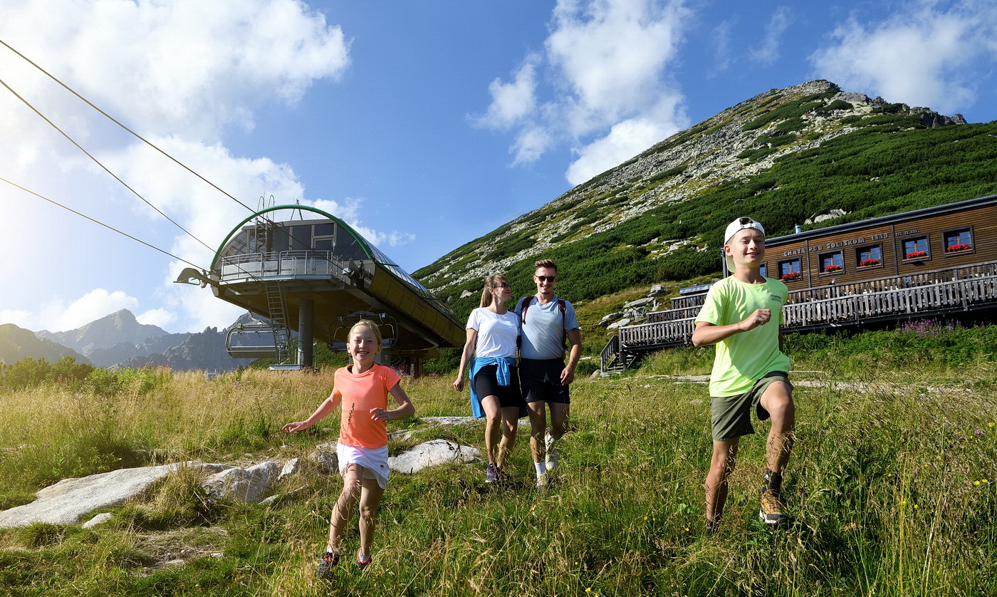
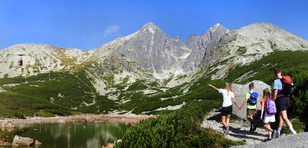
The trip begins at the upper station of the Solisko Express chairlift, where visitors are transported from Štrbské Pleso. During the approximately seven-minute ride, the chairlift climbs 431 meters. Right at the upper station, views open up of Štrbské Pleso, Kriváň, the Furkotská Valley, and the surrounding Tatra peaks. Nearby is the Chata pod Soliskom mountain hut, where you can grab a bite to eat before heading down.
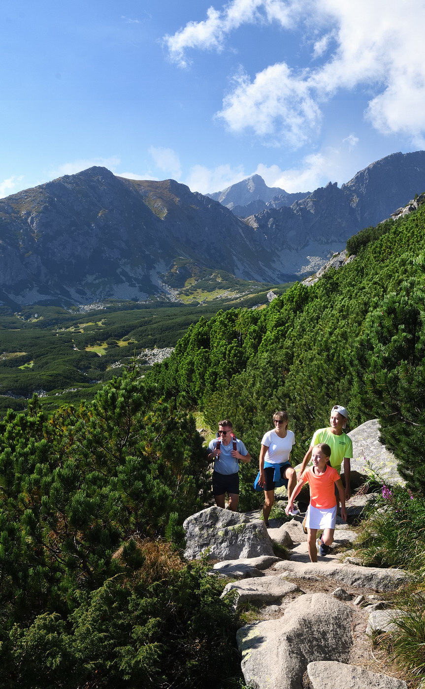
From the chalet, the trail descends briefly to the Rázcestie pod Soliskom junction and then continues through the Furkotská Valley. The rocky mountain trail gradually gives way to forest terrain and, at the Rázcestie pod Furkotskou dolinou junction, joins the red-marked Tatra Main Trail. The final section leads along an easier trail back to Štrbské Pleso.
What can you experience and see along the route?

Trasa a výškový profil
What do you need to know before you arrive?
Please read this before your visit
The hike begins at the upper station of the Solisko Express chairlift, at an elevation of approximately 1,814 meters above sea level. The route does not start at the summit of Predné Solisko, at an elevation of 2,093 meters above sea level. Climbing to the summit itself would make the hike longer and more challenging.
The yellow-marked trail through the Furkotská Valley—from the junction below the Furkotská Valley through the Škutnasta clearing and the connecting blue section to the Chata pod Soliskom mountain hut—is closed annually from November 1 through May 31. The entire route can therefore be hiked from June 1 through October 31, unless other restrictions are announced.
The "easy" rating is based primarily on the use of the cable car and the predominantly downhill terrain. However, the trail consists of rocks, roots, and, in some places, stone steps. The longer descent can be hard on the knees, so hiking poles may be helpful.
From open mountain terrain to the Tatra forests
The trail begins at Chata pod Soliskom and the upper station of the cable car. Following the blue hiking trail, it leads down a short, rocky descent to Rázcestie pod Soliskom, also known as Škutnastá poľana. From there, it continues along the yellow trail through the Furkotská Valley. At first, it passes through more open mountain terrain; later, it enters a zone of dwarf pine and forest.
At the crossroads below the Furkotská Valley, the trail joins the red-marked Tatra Main Trail. The final section is gentler and follows a forest trail toward the shore of Štrbské Pleso. The total descent is approximately 470 meters in elevation.
Route Markings
Blue trail
Chata pod Soliskom – Rázcestie pod Soliskom
Yellow trail
: Junction below Solisko – Furkotská Valley – Junction below Furkotská Valley
Red trail
: Junction below Furkotská Valley – Štrbské Pleso
Checkpoints along the route
Solisko Cable Car Upper Station – approximately 1,814 meters above sea level
Chata pod Soliskom – approximately 1,840 m above sea level
Crossroads below Solisko
Škutnastá Meadow
Furkotská Valley
Crossroads below Furkotská Valley
Tatra Main Trail
Štrbské Pleso – approximately 1,347 m above sea level

That's how it looks here. Take a look
Set out to discover the beauty of the Tatra Mountains
Hiking trails will take you to mountain lakes, waterfalls, mountain huts, and the peaks of the Tatra Mountains. Choose from easy walks to more challenging hikes and discover the region’s beauty step by step.




Must-See Places. Discover them one by one
Every corner of the Tatra Mountains has its own story. Discover the places that shape the character of the region.








The Tatra Mountains wake up differently every day
Current conditions, upcoming events, and editorial recommendations. Everything you need to know before heading to the Tatras.

Webcams
Poprad
6°C
Clear

Lomnický štít
-6°C
Clear
Tatranská Lomnica
5°C
Clear
Starý Smokovec
4°C
Clear
Hrebienok
3°C
Clear
Štrbské Pleso
3°C
Clear
Skalnaté pleso
1°C
Clear
Solisko
0°C
Clear


Everything You Need to Know Before Your Trip
Answers to the most frequently asked questions about the High Tatras region.
