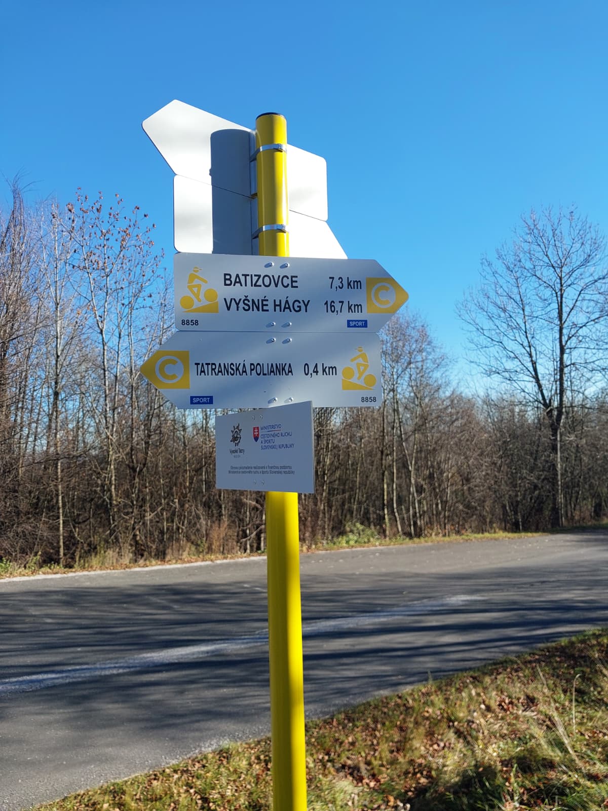
8858 – Vyšné Hágy – Batizovce – Tatranská Polianka
Forest bike trail between the Tatra villages



A route through forests and villages in the Tatra Mountains region
Total elevation gain on the route
Estimated travel time
From Vyšné Hágy through the foothills to Tatranská Polianka
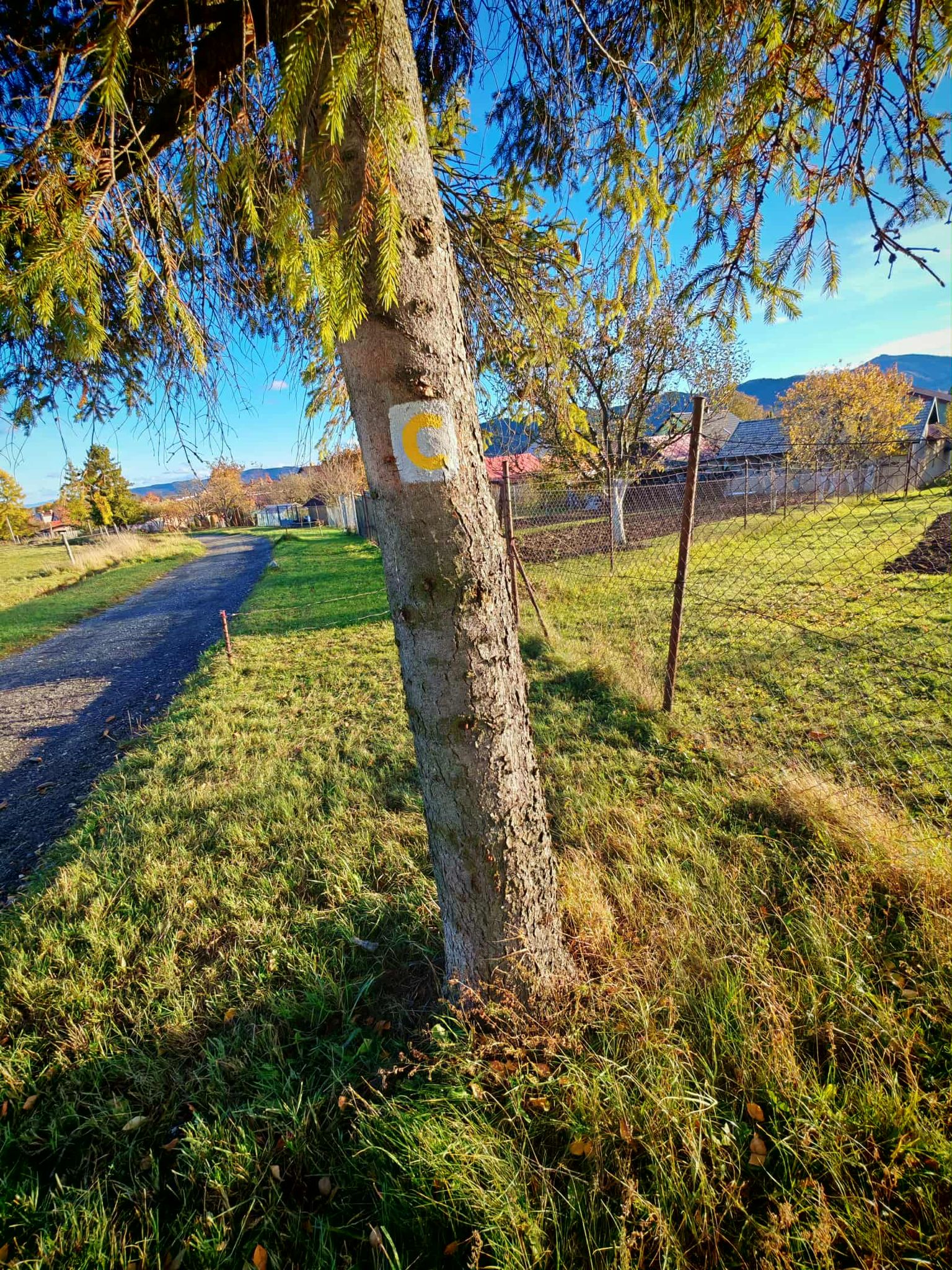
The bike trail begins in Vyšné Hág and continues along a paved forest road to Štôla. From there, it follows forest and local roads to Batizovce, where you can take a break or grab a bite to eat.
Beyond Batizovce, the route re-enters the forest and heads toward Tatranská Polianka on a gentle climb. The combination of asphalt, paved roads, and a mostly downhill profile makes for a pleasant route for both recreational and more active cyclists.
What We Offer

Trasa a výškový profil
What do you need to know before you arrive?
Please read this before your visit
The route alternates between gravel forest roads and paved local roads. A gravel bike is the best choice, as it can handle both types of surfaces.
The bike trail passes through Štôla and Batizovce. Ride carefully on local roads and pay close attention to intersections and traffic.
More than 17 kilometers along forest roads between the Tatra villages
Cycle Route 8858 begins in Vyšné Hág and continues through Štôla and Batizovce all the way to Tatranská Polianka. It combines peaceful forest sections with stretches through villages in the Tatra foothills and offers a varied ride on both gravel and paved roads.
The route profile is slightly undulating. In total, you’ll climb approximately 238 meters and descend 340 meters, with the final stretch to Tatranská Polianka climbing slightly again.
From Vyšné Hágy to Štôla
The opening section leads from Vyšné Hágy along a gravel forest road toward the village of Štôla. The peaceful forest setting makes for a pleasant start to the bike trip.
Through Batizovce
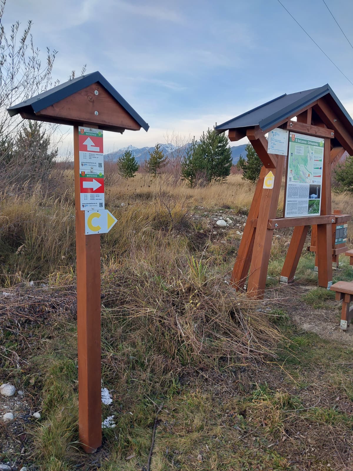
From Štôla, the route continues along paved roads and gradually connects to local roads leading to Batizovce. As you pass through the village, you can take advantage of opportunities for refreshments and a short rest.
Journey to Tatranská Polianka
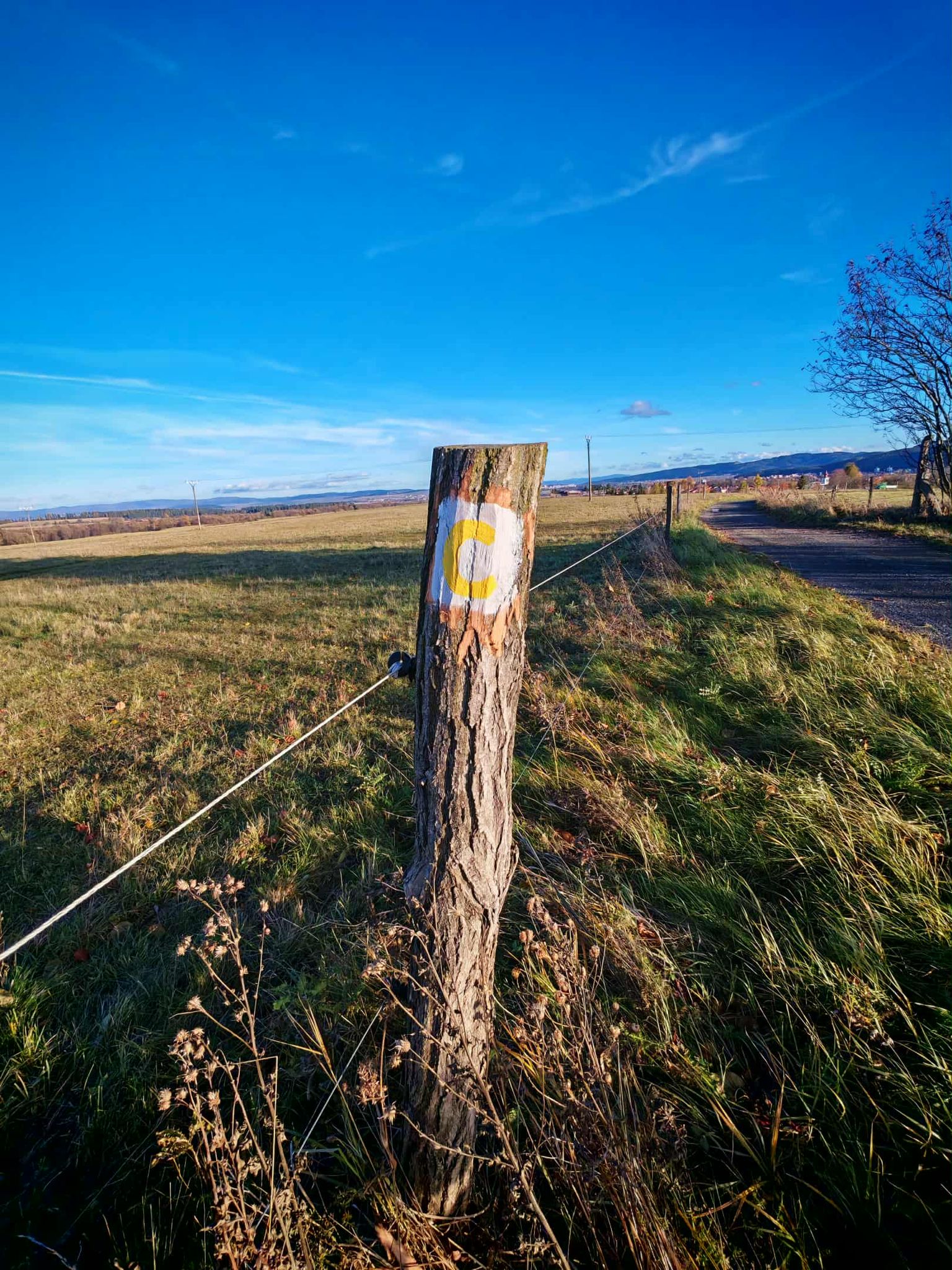
Beyond Batizovce, the route returns to a paved forest road and begins to climb gently. At the end, it connects to a paved local road leading all the way to Tatranská Polianka.

Tak to u nás vyzerá. Pozrite sa
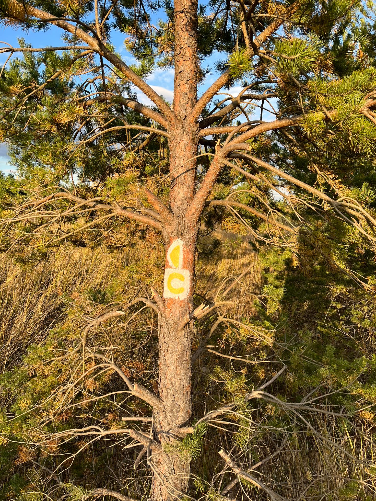
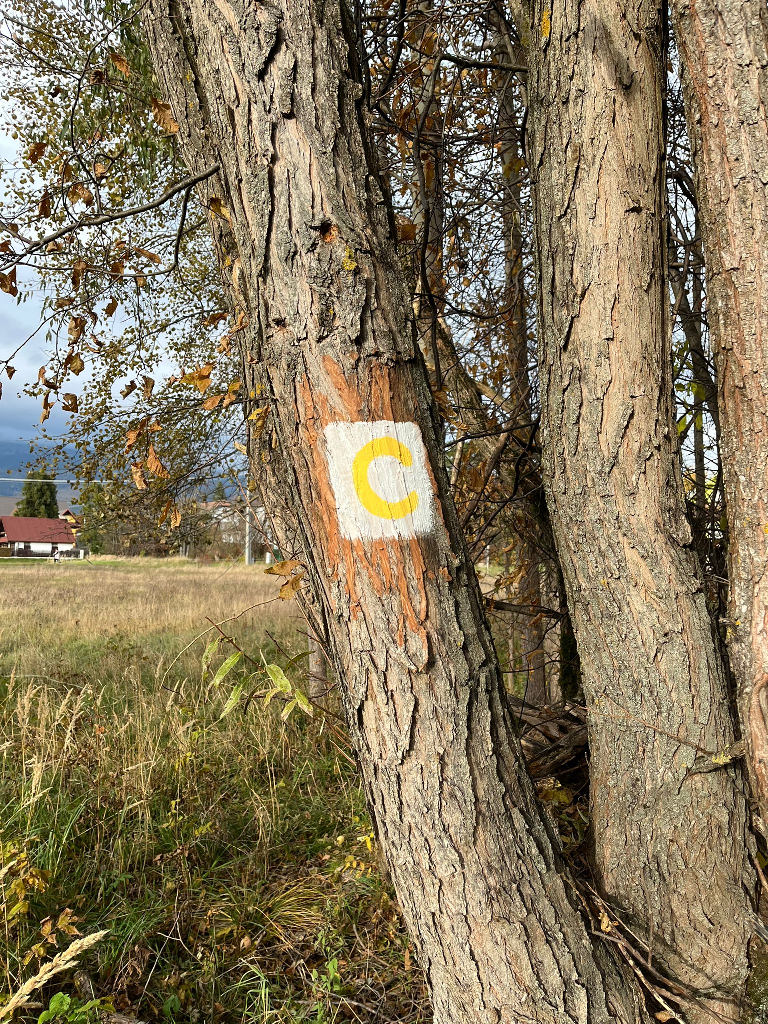
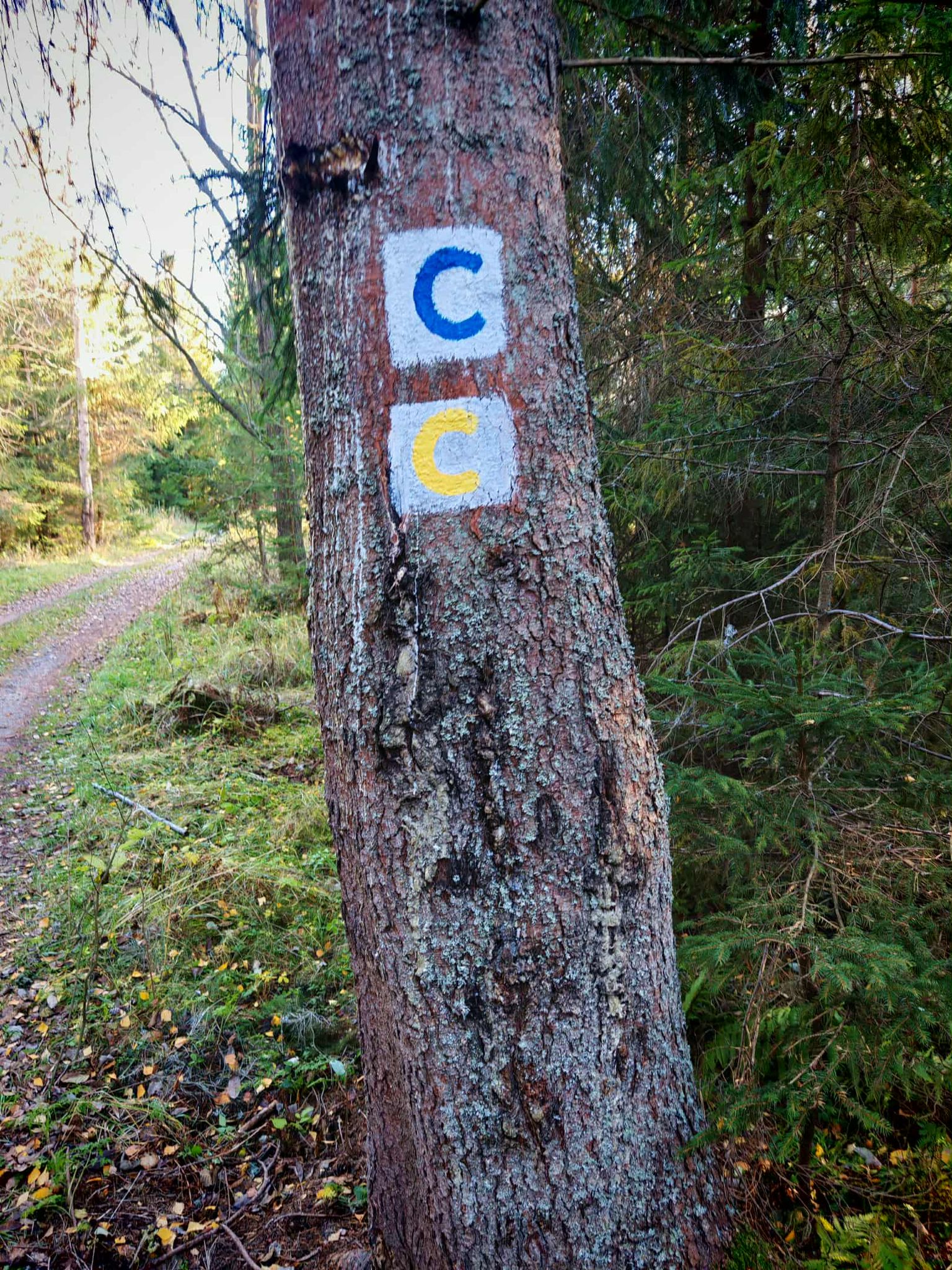
Explore the region on two wheels
The Tatra Mountains offer an extensive network of bike trails for every type of cyclist—from easy trails in the foothills to challenging mountain loops with views that make every strenuous pedal stroke worthwhile.
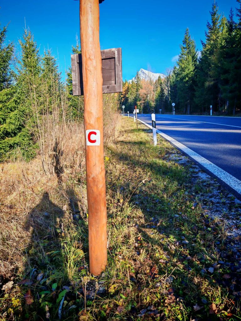




Must-See Places. Discover them one by one
Every corner of the High Tatras has its own story. Discover the places that shape the character of the region.




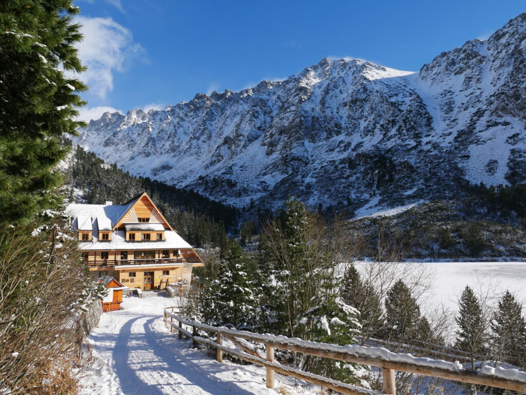
The Tatra Mountains wake up differently every day
Current conditions, upcoming events, and editorial recommendations. Everything you need to know before heading to the Tatras.

Webcams
Poprad
6°C
Clear

Lomnický štít
-4°C
Clear
Tatranská Lomnica
4°C
Clear
Starý Smokovec
3°C
Clear
Hrebienok
2°C
Clear
Štrbské Pleso
3°C
Clear
Skalnaté pleso
1°C
Clear
Solisko
0°C
Clear


Everything You Need to Know Before Your Trip
Answers to the most frequently asked questions about the High Tatras region.